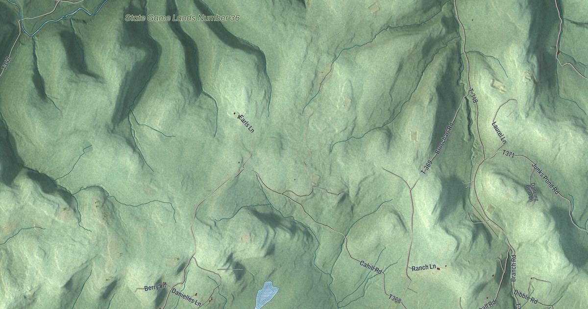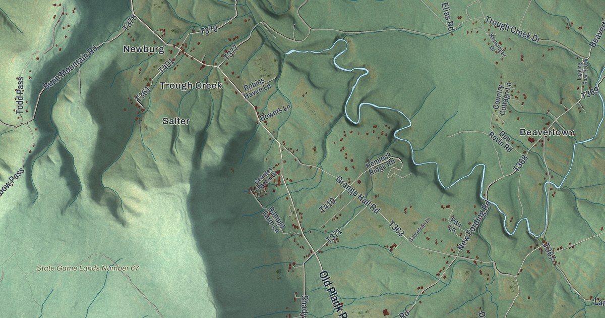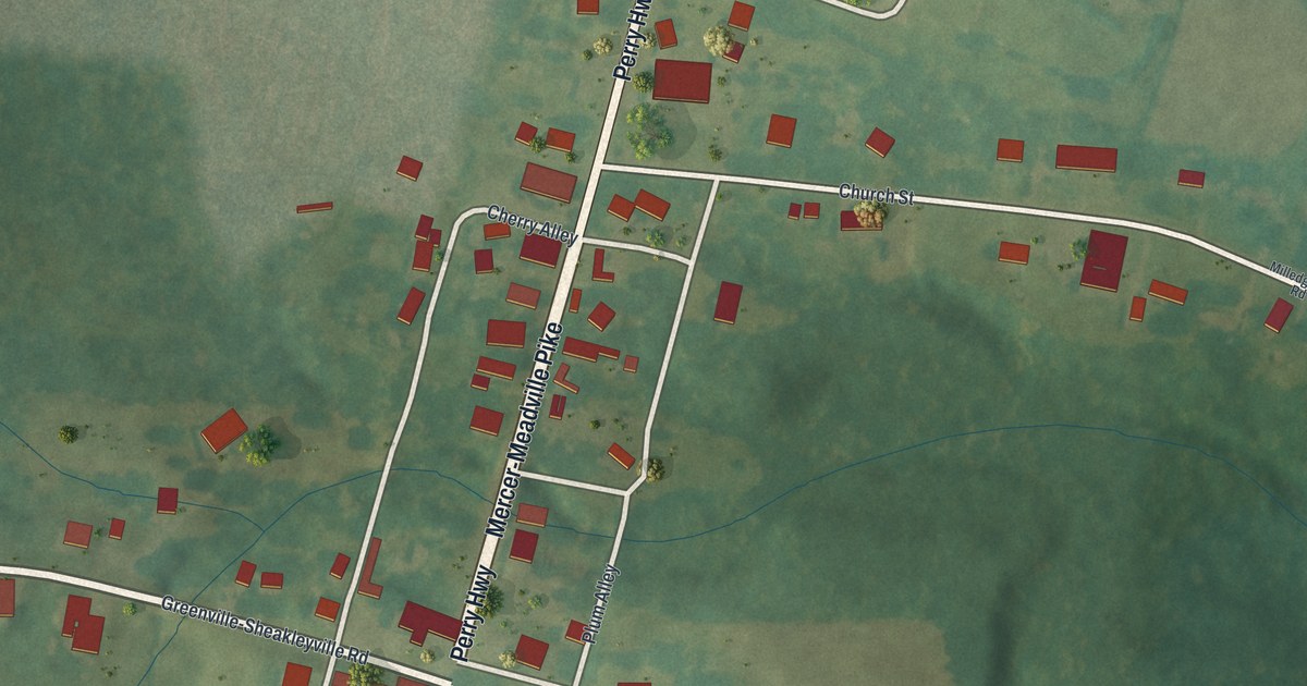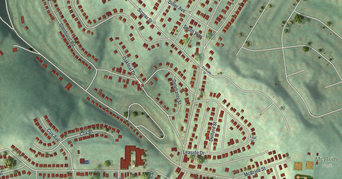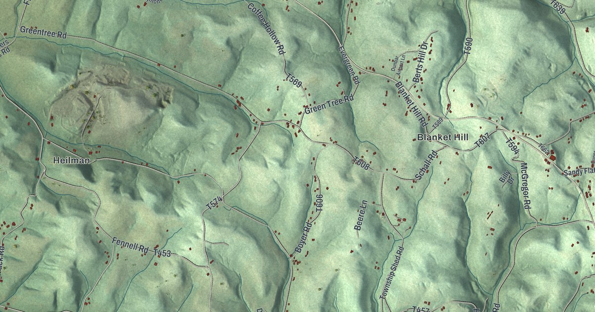
If you grew up out along Blanket Hill Road or still have family near Rupp Church Road, this map was made with you in mind. It's a new aerial view of Kittanning Township in Armstrong County, Pennsylvania, built from modern data and given a vintage look. Steep green ridges fold across the whole sheet, cut by dozens of small hollows. Red marks show buildings along the country roads, and a winding arm of blue water reaches in at the lower left.
Roads and villages of Kittanning Township
On this map you'll find Blanket Hill, McNees, Heilman, Shay, Rockville, Pyrra, Top, Blanket Hill Road, Rupp Church Road, Simpson Church Road, Little Germany Road, Garretts Run Road, Log Cabin Road, Red Mill Road, Frog Pond Road, and more. Each red shape is a building, so zoom in on the preview and look for yours.
How Blanket Hill got its name
Look for Blanket Hill near the center of the map. A state historical marker there explains the name. In September 1756, Colonel John Armstrong led about 300 frontier troops west to attack Kittanning. It was a Delaware Indian town on the Allegheny River. Since about 1730 it had been the most notable Delaware village west of the Alleghenies. Its name means "great river." The troops stopped on this hill on September 7, the day before the attack. The town was destroyed, and the blankets the troops left behind gave the hill its name.
What people found on Blanket Hill
The 1883 History of Armstrong County says Lieutenant Hogg and his men fought a larger force of Indians on the hill. For years after, people kept finding pieces of that fight in the ground. John Nolder found a one-edged sword. The wood of its handle had rotted away, but the silver fittings were still there. Others turned up a spear, parts of a pistol, a gun barrel and a thick black glass bottle. Samuel Nolder found an iron-bound bucket hanging on a tree limb. The book says it had probably swung there since the battle. The same book names Peter Heilman's farm as the spot where an old trail, the Pullen path, branched off. Heilman is still printed on the map, just left of center.
Kittanning Township from McNees to Pyrra
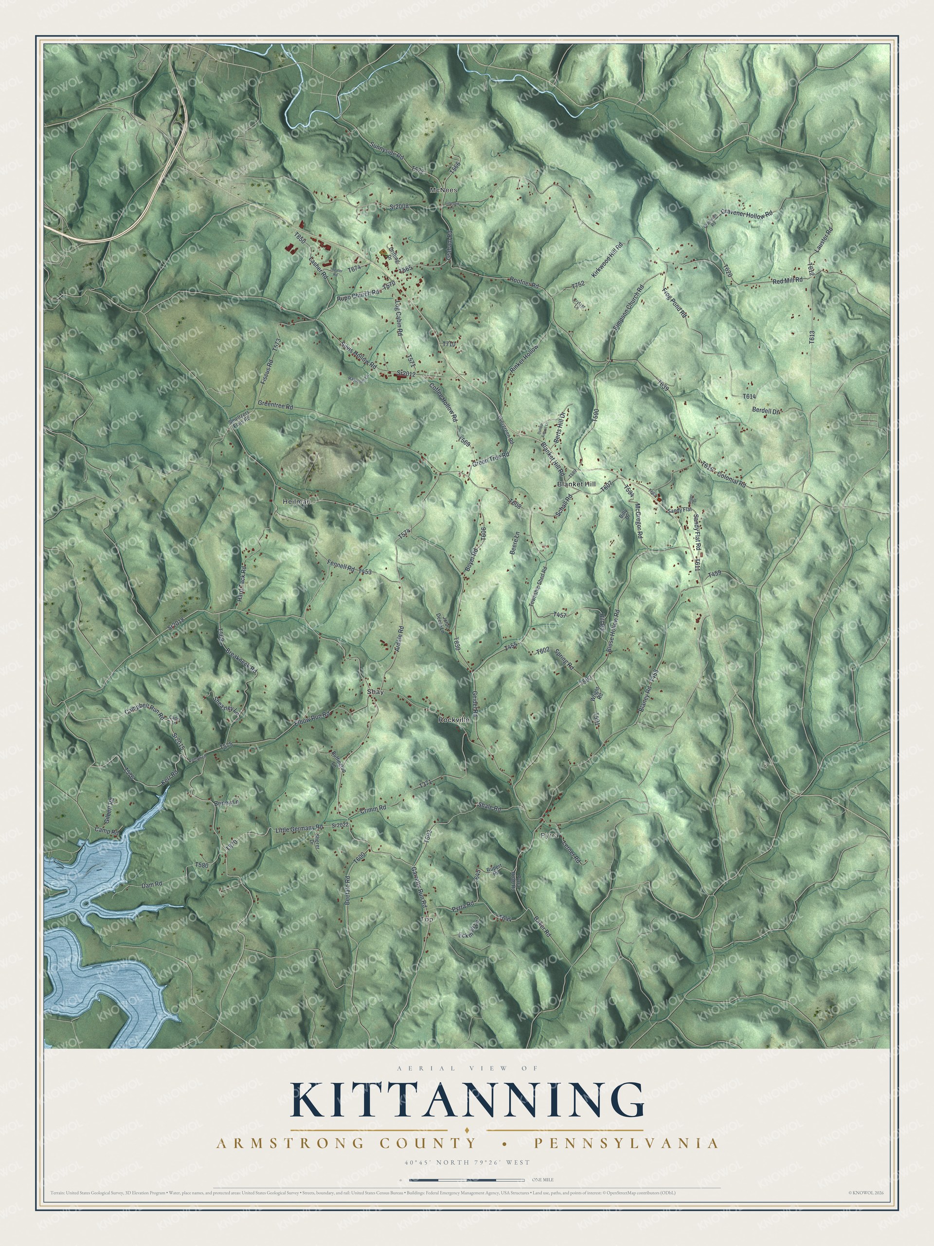
Created by KNOWOL in 2026, this print shows shaded green ridges and hollows in a soft vintage palette, with roads and village names set in fine gray type. The title panel reads "Aerial View of Kittanning," then "Armstrong County • Pennsylvania" and 40°45' North 79°26' West.
It fits a den, a hallway or a farmhouse kitchen. It's a good gift for someone who grew up near Blanket Hill and moved away, or for a family that has farmed these hollows for years. Open the preview and find the road you know best. See sizes and frames for the Kittanning, Armstrong County map.