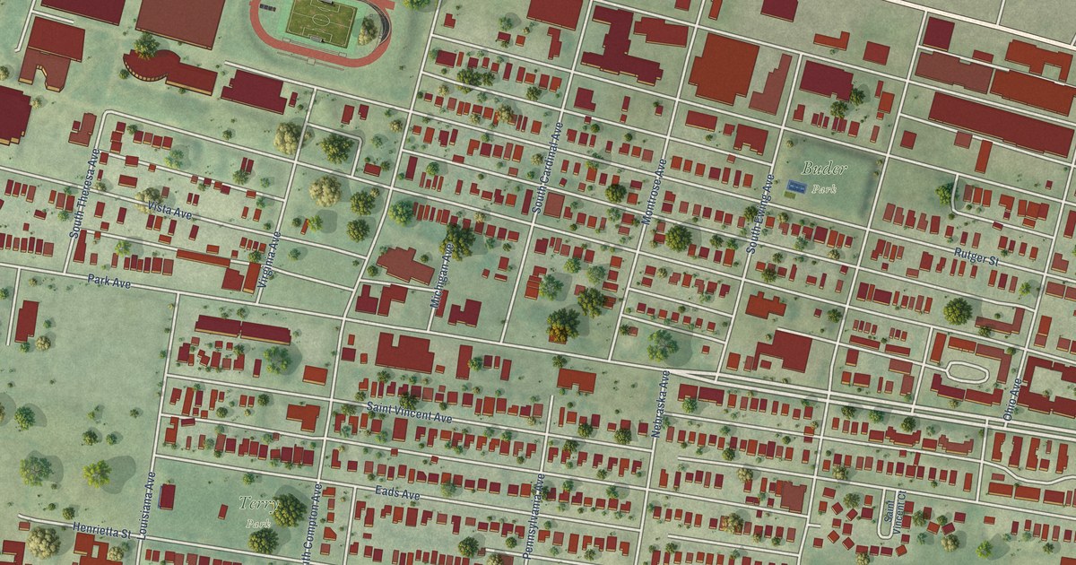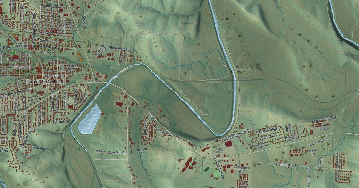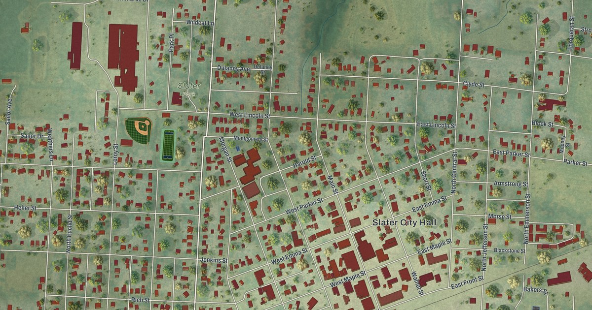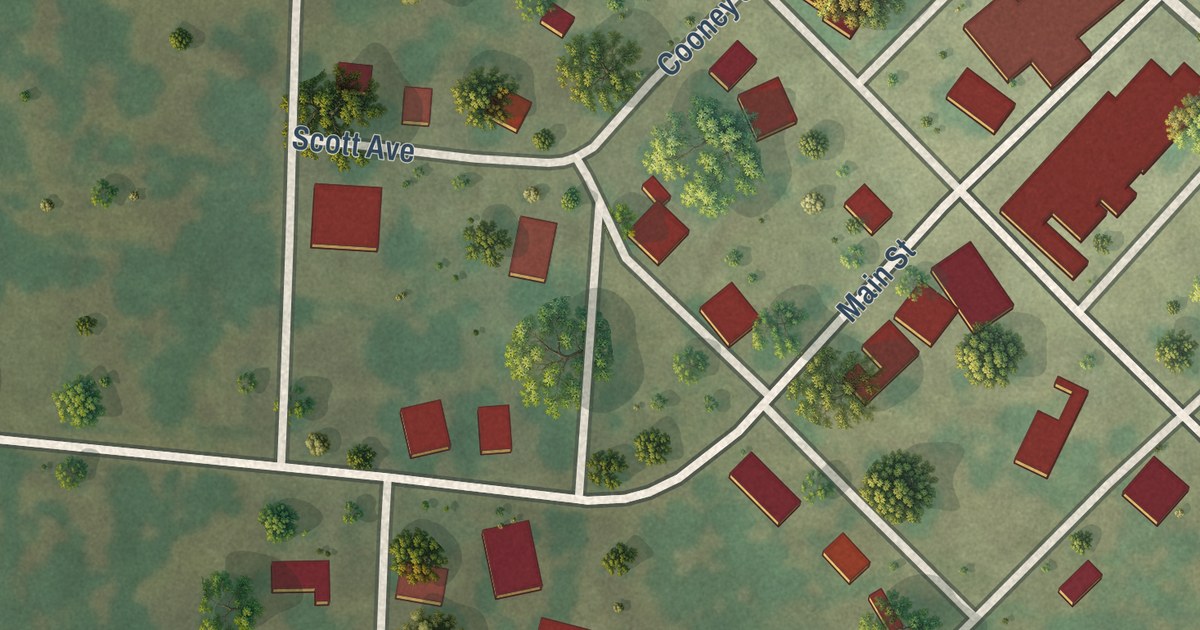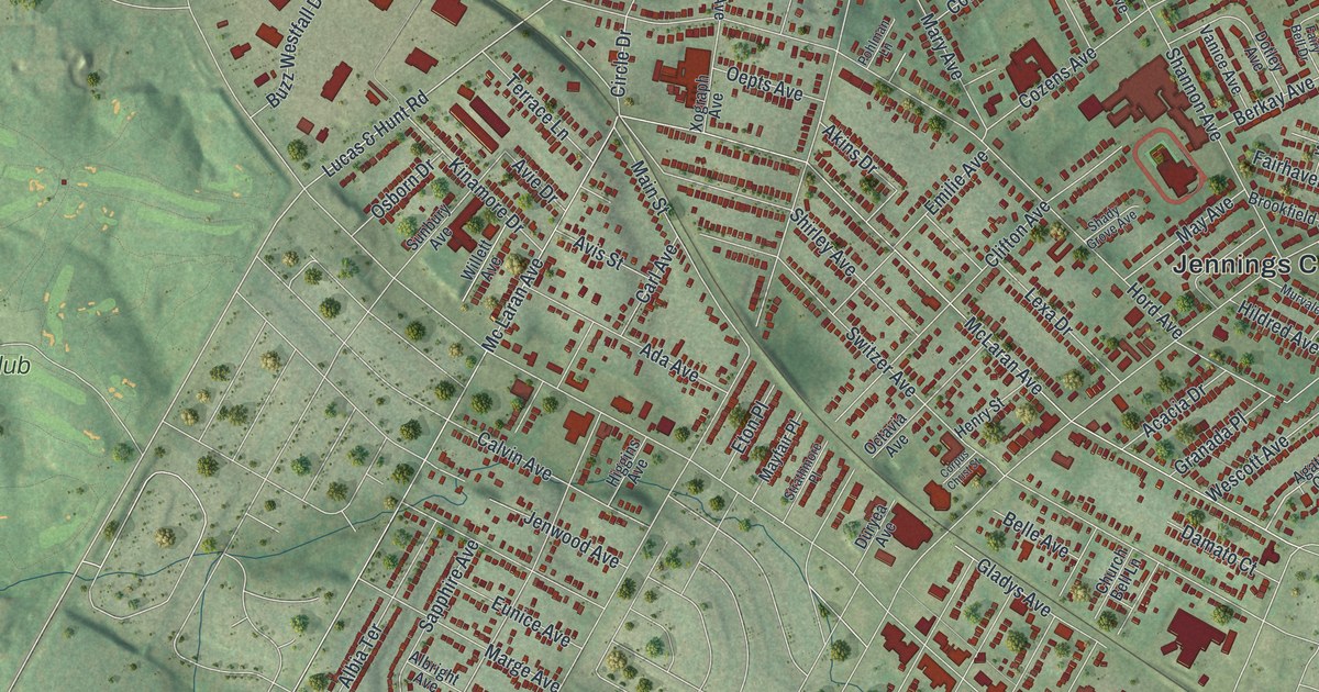
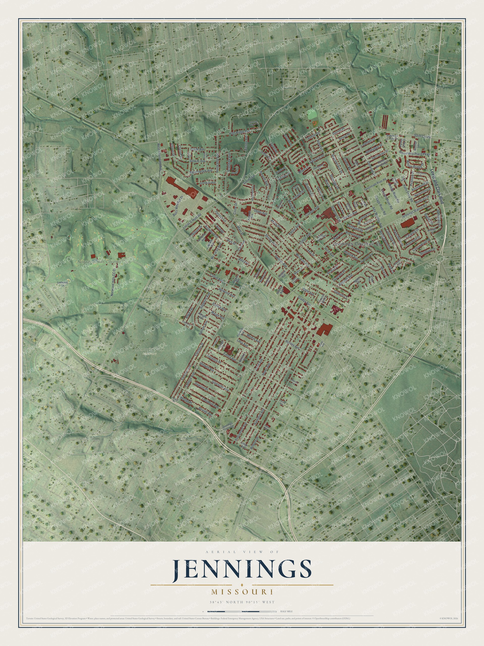
This beautifully detailed map of Jennings, Missouri was created in 2026 using aerial imagery combined with modern topographical, census, street and landmark data. It’s a one-of-a-kind view of Jennings that combines accurate data with a vintage aesthetic. The map shows every building in its true location, many of the roads carry their names, and the shaded topographic relief shows the shape of the land.
Explore an aerial view of Jennings, Missouri
On the map you’ll find Jennings City Hall, Memorial Park Cemetery, Norwood Hills Country Club, and Granada Place, along with Lewis and Clark Boulevard, Lucas & Hunt Road, Hathaway Drive, Ranchdale Drive, Jennings Station Road, McLaran Avenue, College Avenue, and more. If you look closely you can even find your house accurately drawn in its correct location. Zoom in on the preview to look for yours.
Did you know this piece of Jennings, Missouri history?
The city takes its name from James Jennings, a farmer and merchant. He moved here from Virginia in 1839, bringing his family and the people he enslaved. A railroad split his land in 1855. The city was incorporated in 1946, during the boom after World War II.
Take a closer look at the Jennings map
Street and place names on the Jennings, Missouri map
These names are printed on the map of Jennings, Missouri.
Places: Jennings City Hall, Memorial Park Cemetery and Norwood Hills Country Club.
Streets and roads: Lewis and Clark Boulevard, Lucas & Hunt Road, Granada Place, Hathaway Drive, Ranchdale Drive, Jennings Station Road, McLaran Avenue, College Avenue, Mc Laran Avenue, West Florissant Avenue, Hamilton Avenue, Halls Ferry Road.
More street names, A to Z
Acacia Drive, Access Road, Acme Avenue, Ada Avenue, Ada Wortley Avenue, Agate Court, Akins Drive, Albertine Avenue, Albia Terrace, Albright Avenue, Alexandria Place Parkway, Altonwood Drive, Apricot Avenue, Auburn Drive, Avie Drive, Avis Street, Bagley Drive, Belle Avenue, Belridge Court, Berkay Avenue, Beulah Avenue, Beulah Place, Blewett Avenue, Bluegrass Drive, Boyce Place, Brookfield Drive, Buzz Westfall Drive, Calvin Avenue, Carl Avenue, Catalina Drive, Center Avenue, Cherrywood Lane, Church Bell Lane, Circle Drive, Clarion Drive, Clifton Avenue, Coleridge Drive, Corpus Christ Street, Corwin Drive, Cottonwood Drive, Cozens Avenue, Current River Road, Damato Court, Darla Court, Darnell Place, Dawn Court, Dawson Place, Dever Drive, Dorwood Drive, Dotley Avenue, Duryea Avenue, Eastchester Drive, Eichler Place, Ellison Drive, Eltarose Drive, Emilie Avenue, Emma Avenue, Esterbrook Drive, Eton Place, Eunice Avenue, Fairhaven Drive, Fairridge Court, Fairview Avenue, Fairy Bell Drive, Fletcher Avenue, Fletcher Street, Florence Place, Garesche Avenue, Gasconade River Road, Gillette Avenue, Glade Avenue, Gladys Avenue, Glendale Avenue, Glen Garden Drive, Granada Avenue, Grand River Road, Grape Avenue, Hallfer Drive, Harney Avenue, Helen Avenue, Henry Street, Higgins Avenue, High Ridge Avenue, Hildred Avenue, Hillview Avenue, Hodiamont Avenue, Hord Avenue, Huiskamp Avenue, Idlewild Avenue, Janet Avenue, Jendale Court, Jennings Crossing, Jenwood Avenue, Judy Court, Kinamore Drive, Lalite Avenue, Lamar Drive, Lammert Lane, Leamont Drive, Lena Avenue, Lexa Drive, Lillian Avenue, Loleate Drive, Lordan Drive, Lucerne Court, Lucille Avenue, Main Street, Marge Avenue, Mary Avenue, Maya Lane, May Avenue, Mayfair Place, Mayfield Court, Meadowlark Avenue, Middle River Road, Minnie Avenue, Mora Lane, Murvale Drive, Norwood Hills CC Drive, Octavia Avenue, Oepts Avenue, Orchard Avenue, Osage River Road, Osborn Drive, Parker Gray Court, Park Lane, Petrova Avenue, Pickford Place, Pohlman Lane, Ranch Meadows Drive, Reineke Court, Riverwood Drive, Robinson Circle Drive, Robley Drive, Saint Cyr Drive, Saint Cyr Road, Sapphire Avenue, Savannah Heights Court, Scottdale Avenue, Shadydale Drive, Shady Grove Avenue, Shannonaire Drive, Shannon Avenue, Sharidge Drive, Shirley Avenue, Solway Avenue, Strathmore Place, Summit Avenue, Sumter Drive, Sunbury Avenue, Sundown Drive, Switzer Avenue, Terrace Lane, Theodore Avenue, Tyrell Drive, Vanice Avenue, Victory Avenue, Wedgewood Drive, Wescott Avenue, Westchester Drive, Westfall Lane, Whitstone Court, Wieck Drive, Wiedle Place, Wilborn Drive, Willett Avenue, Wilson Bridge Drive, Xograph Avenue.
See the Jennings, Missouri map on a wall
The Jennings map as an 18 x 24 inch print in a black frame.

This beautifully detailed map of Jennings makes an attractive addition to your office, library, or den, and it can even be used to teach children the geography and history of the area. It also makes a great gift for someone who left Jennings and still calls it home. When you’re done exploring, click here to get your copy of the Jennings map.