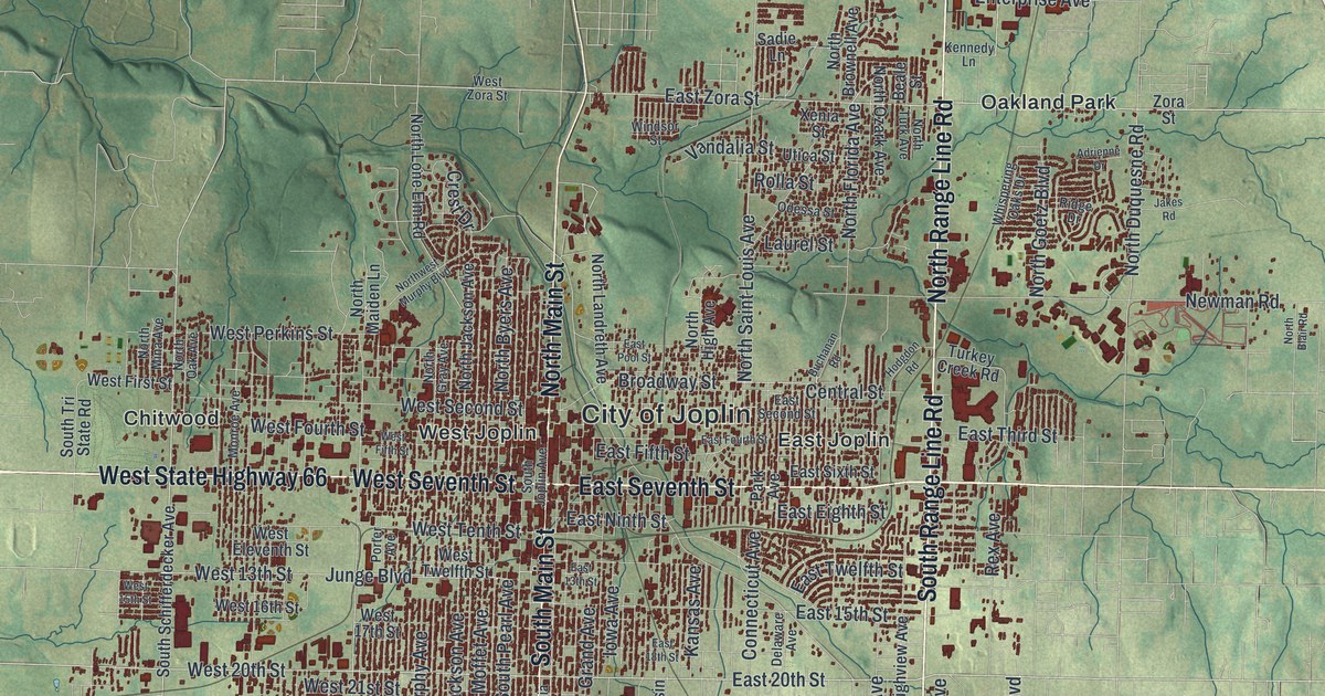
If you grew up in Joplin or still drive North Range Line Road every day, this map is for you. It's a modern aerial view of Joplin in Jasper County, Missouri, made from modern data and given a vintage feel. The city fills the middle of the sheet in a dense grid of red buildings. Green, shaded hills roll out on every side. To the south, a blue creek winds through steep, wooded hills near Redings Mill and Shoal Creek Estates.
How Joplin Got Its Name
On this map you'll find South Main Street, North Range Line Road, West Seventh Street, East 32nd Street, Hearnes Boulevard, Broadway Street, Schifferdecker Road, Zora Street, Murphy Boulevard, Chitwood, Oakland Park, Leawood, Redings Mill, Cliff Village, and more. Each red shape is a building, so zoom in on the preview and look for yours.
The State Historical Society of Missouri traces the name to a Methodist minister named Joplin. In 1840, he started the first Methodist congregation in the county. The church met at his cabin on a creek. That creek still bears his name. On the map, the words City of Joplin sit near the center of the sheet, close to North Main Street.
Old Buildings Along South Main Street
The National Register of Historic Places lists a long row of old buildings on and near Main Street. They include the Joplin Union Depot at Broadway and Main, and the Fox Theater at 415 South Main. The Joplin Carnegie Library at Ninth and Wall is on the list too. So are the Newman Brothers Building and the Rains Brothers Building, both on South Main. To find them, look where Broadway Street meets South Main Street near the middle of the map.
From Chitwood to Redings Mill
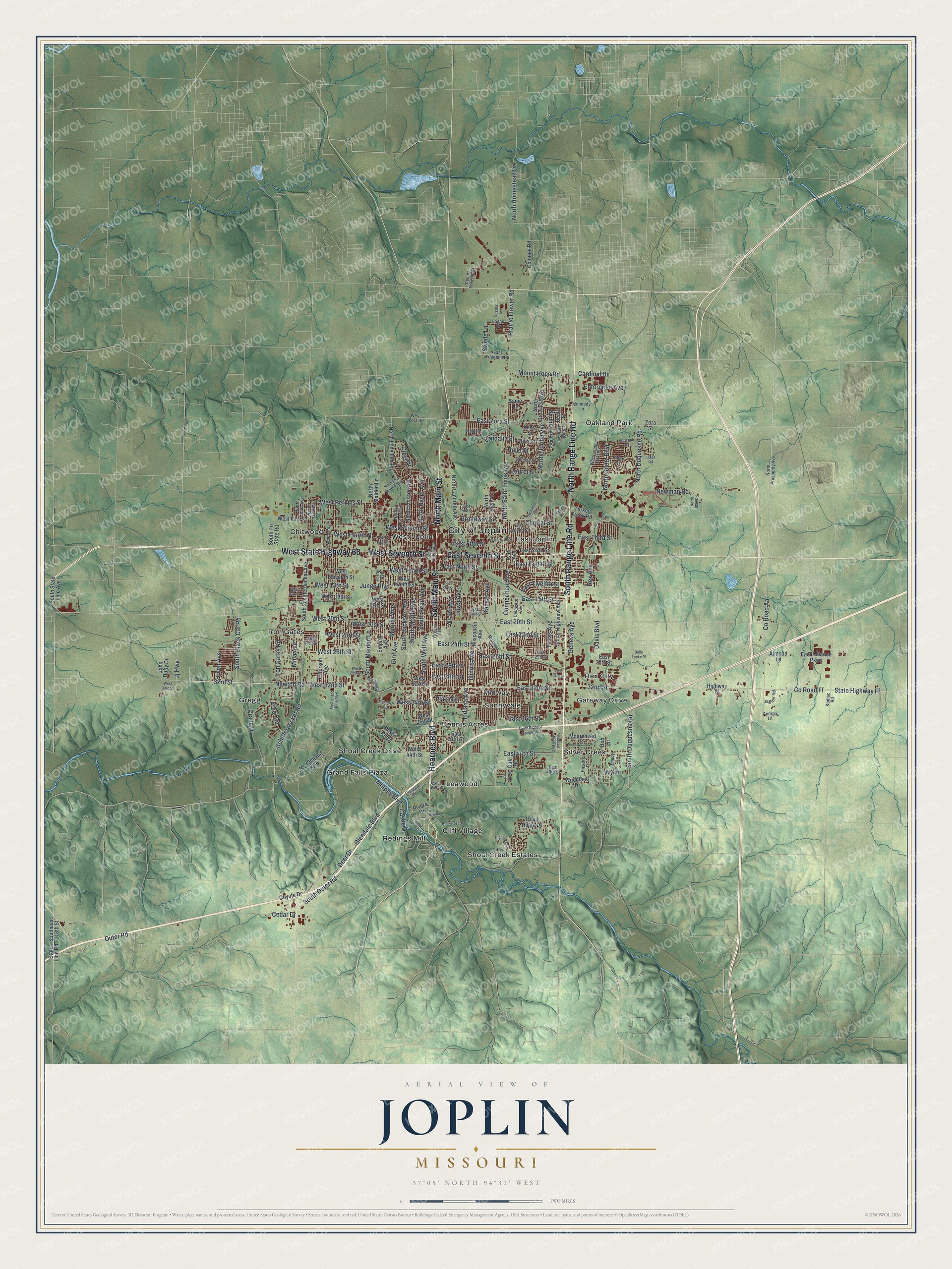
Created by KNOWOL in 2026, the print shows Joplin from above, with red buildings, blue creeks and soft green hills shaded from USGS elevation data. The cream title panel reads "Aerial View of Joplin, Missouri" with the coordinates 37°05' North 94°31' West.
It fits a living room, a front hall or a home office. It makes a good gift for someone who grew up near Oakland Park, or who moved away but still thinks of the old Union Depot on Main Street. Open the preview and look for your own block. See sizes and frames for the Joplin map.