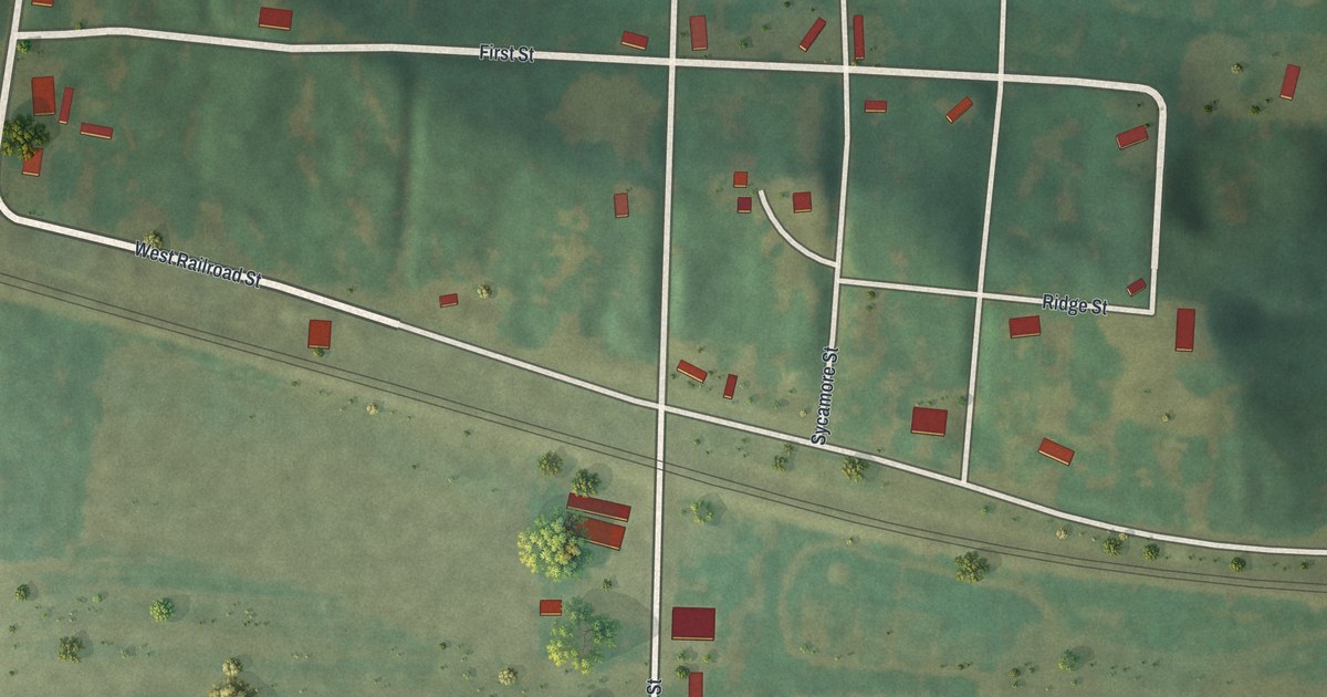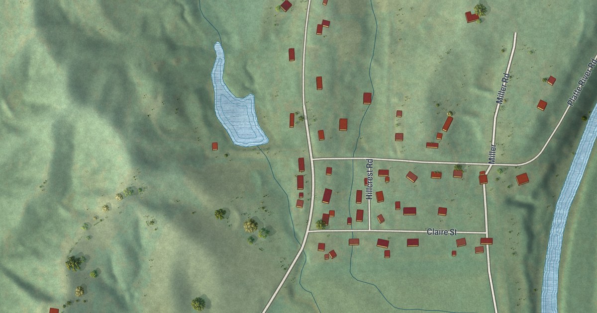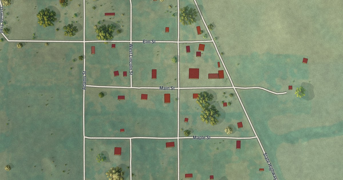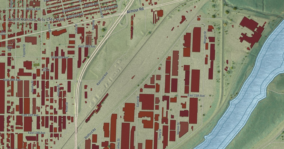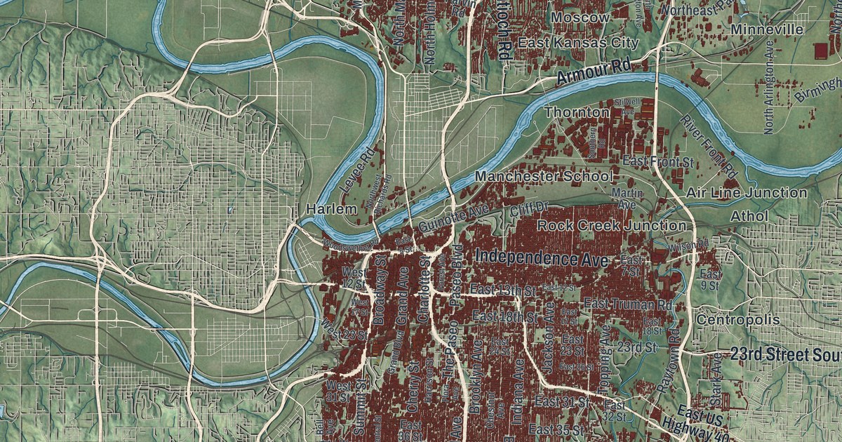
If you grew up off Troost Avenue or The Paseo, or you still drive Ward Parkway every day, this map will feel like home. It's a modern aerial view of Kansas City in Jackson County, Missouri, made from modern data and given a vintage feel. Two blue rivers meet just north of the dense red downtown. Green hills fold out on every side. The city fills the middle in dark red, from Tiffany Springs at the top left down past Martin City.
Troost Avenue, The Paseo and Ward Parkway on the map
On this map you'll find Troost Avenue, The Paseo, Ward Parkway, Wornall Road, Main Street, Independence Avenue, Prospect Avenue, Broadway Street, Blue Parkway, Westport, Waldo, Hickman Mills, Red Bridge, Martin City, and more. Each red shape is a building, so zoom in on the preview and look for yours.
Why Kansas City was once the City of Kansas
Kansas City hasn't always gone by that name. The State Historical Society of Missouri keeps an old place names file, and it tells the story in one line. In 1853, the name was changed to City of Kansas. In 1889, it was changed again, to Kansas City. That means the city used the longer name for 36 years. Today the short name runs in big navy letters across the bottom of this print.
Santa Fe Trail sites near New Santa Fe and Red Bridge
The city also holds pieces of the old Santa Fe Trail. The National Register of Historic Places lists trail segments at Minor Park, on Red Bridge Road east of Holmes Road. In 2012, it added two "Three Trails" sites. One is at 85th and Manchester. The other is a set of trail swales near New Santa Fe. On the print, you'll find New Santa Fe and Red Bridge near the bottom, with East Red Bridge Road and Holmes Road close by.
Westport, Waldo and home on one Kansas City print
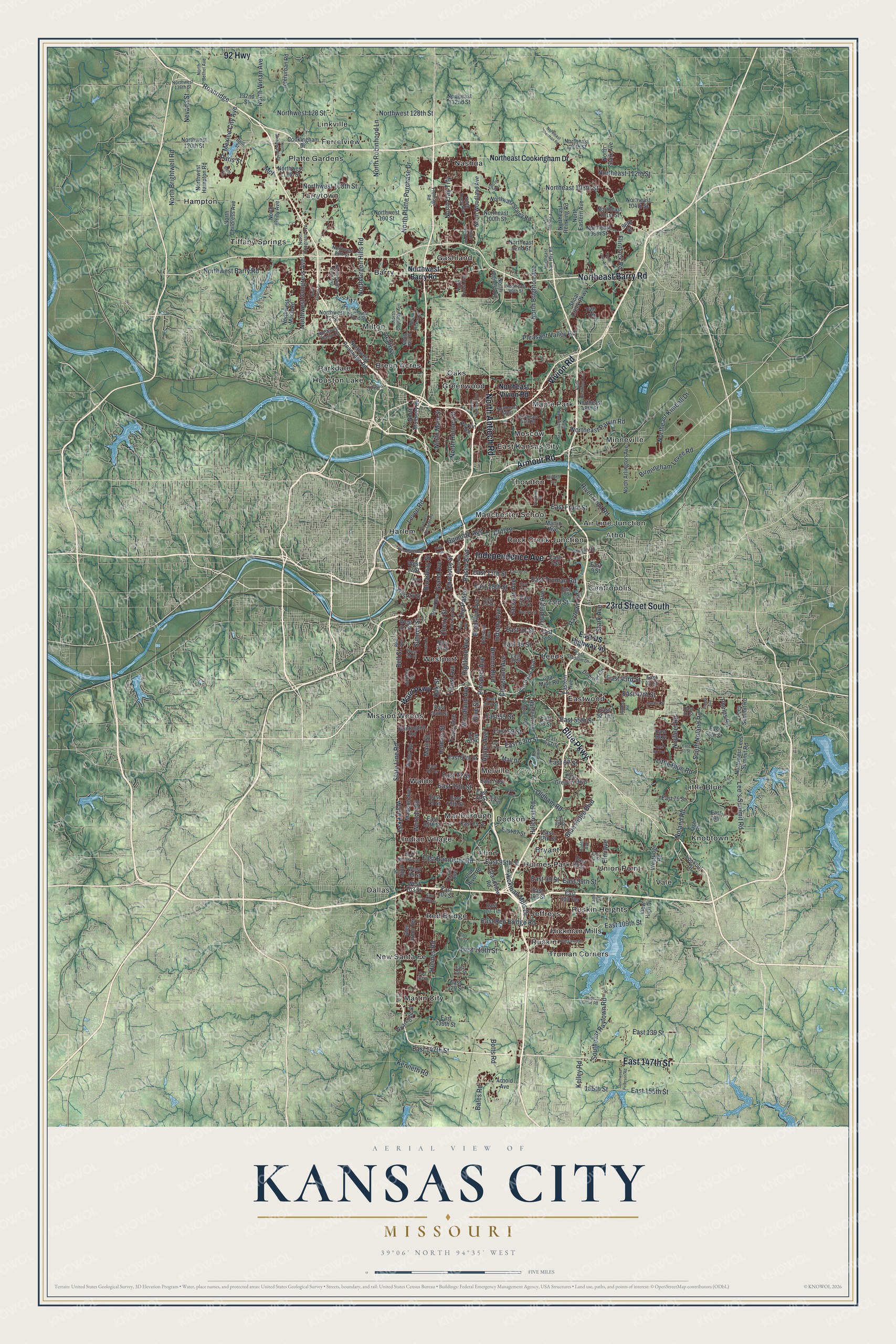
Created by KNOWOL in 2026, this print shows Kansas City in shaded green hills, blue rivers and dark red buildings. A cream title panel sits below the map. It reads "Aerial View of Kansas City, Missouri" and gives the spot as 39°06' North 94°35' West.
It fits a living room, a home office or a first apartment. It's a good gift for someone who grew up near Westport and moved away, or for a family that has lived in Waldo for years. Open the preview and zoom in to find your street. See sizes and frames for the Kansas City map.