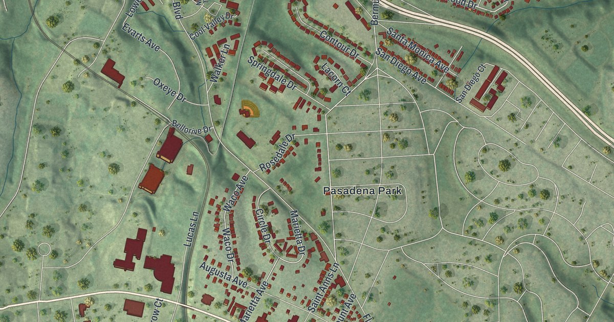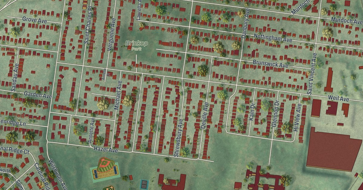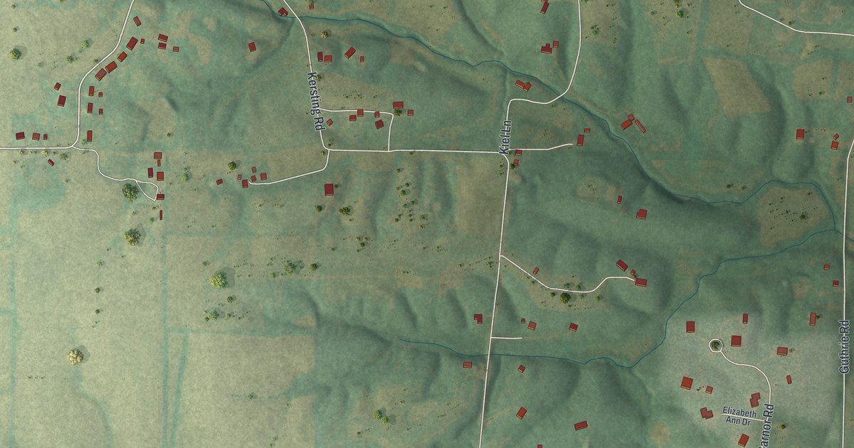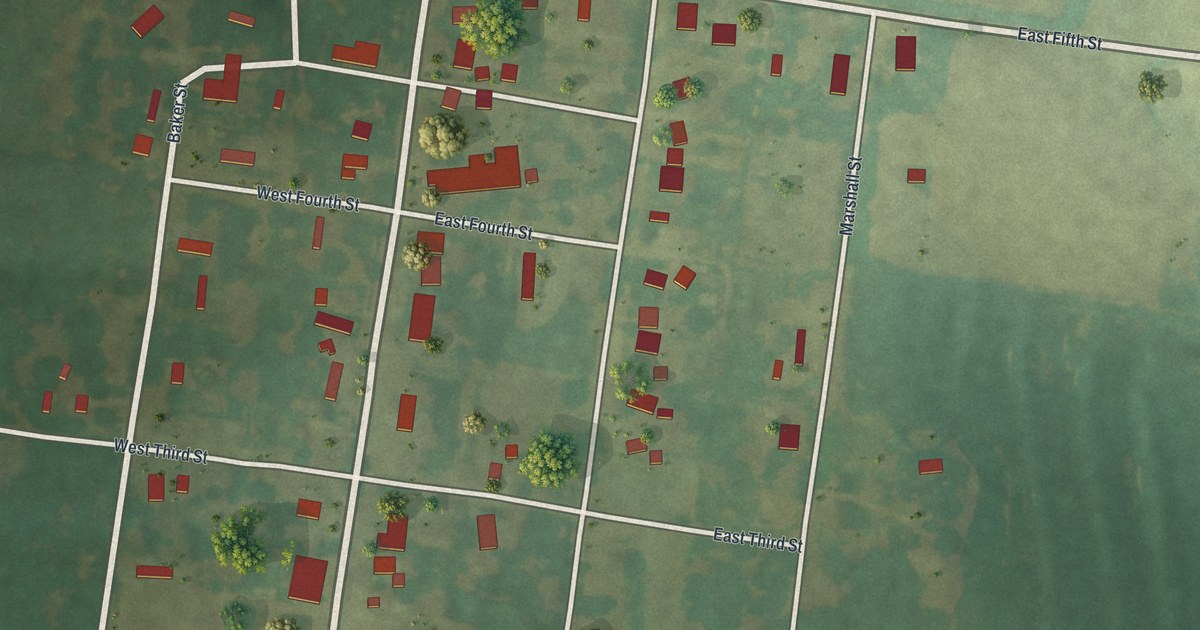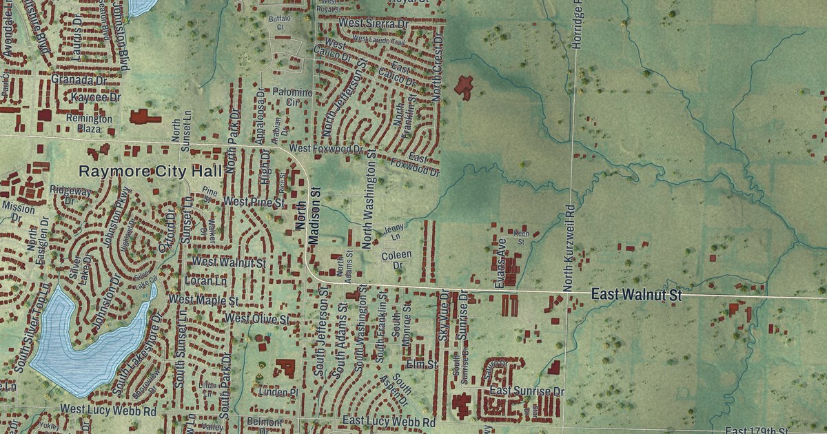
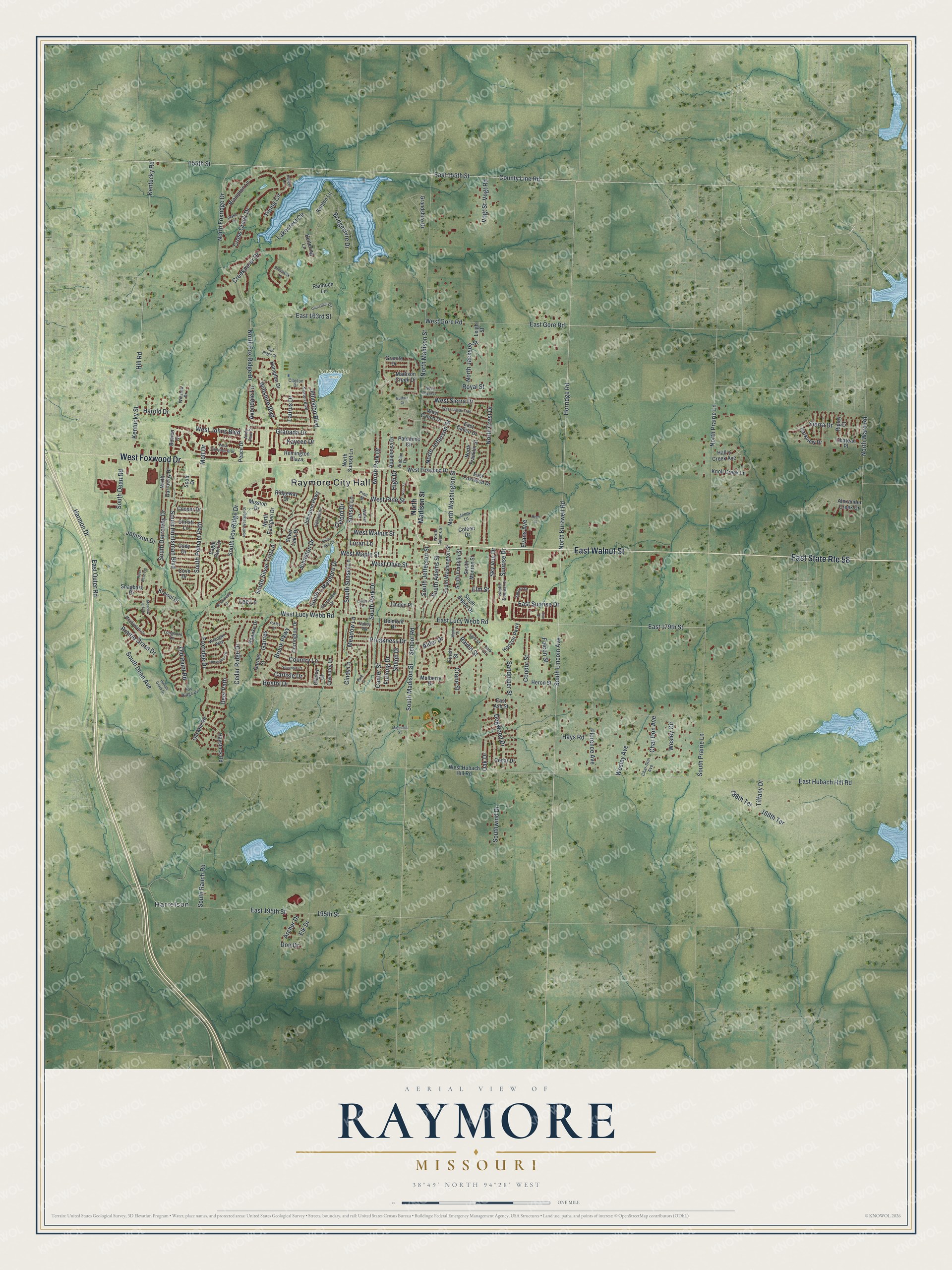
This beautifully detailed map of Raymore, Missouri was created in 2026 using aerial imagery combined with modern topographical, census, street and landmark data. It’s a one-of-a-kind view of Raymore that combines accurate data with a vintage aesthetic. The map shows every building in its true location, many of the roads carry their names, and the shaded topographic relief shows the shape of the land.
Explore an aerial view of Raymore, Missouri
On the map you’ll find Raymore City Hall, Hawk Ridge Park, Harrelson, and Garnes, along with East Walnut Street, West Foxwood Drive, South Madison Street, School Road, East Sunrise Drive, Sunrise Drive, East 155th Street, Sandpiper Street, and more. If you look closely you can even find your house accurately drawn in its correct location. Zoom in on the preview to look for yours.
Did You Know?
From the City of Raymore: "The Raymore Public Works Department is fully accredited by the American Public Works Association (APWA). This accreditation formally verifies and recognizes that the agency is in full compliance with the recommended management practices set forth in APWA’s Public Works Management Practices Manual."
Take a closer look at the Raymore map
Names on this map
These names are printed on this map.
Places: Raymore City Hall, Hawk Ridge Park and Harrelson.
Streets and roads: East Walnut Street, East State Route 58, West Foxwood Drive, South Madison Street, School Road, East Sunrise Drive, Sunrise Drive, Garnes, East 155th Street, Sandpiper Street, 155th Street, West Lucy Webb Road.
More street names, A to Z
168th Terrace, 188th Terrace, 195th Street, Alder Drive, Alexander Creek Drive, Andy Paul Court, Appaloosa Drive, Arabian Drive, Archer Drive, Avondale Lane, Belmont Drive, Bowen Drive, Bridgeshire Drive, Bristol Drive, Brompton Lane, Brook Parkway, Brookwood Lane, Brunswick Lane, Buffalo Court, Buffalo Grass Drive, Canter Street, Carlisle Drive, Cedar Drive, Cedar Ridge Drive, Char-Don Avenue, Char Don Avenue, Chateau Place, Christi Lane, Churchhill Circle, Cindy Lane, Clancy Court, Clayton Drive, Cody Drive, Coleen Drive, Condor Street, Cooper Drive, Corrington Drive, Country Lane, County Line Road, Cove Drive, Coventry Lane, Crane Street, Creekmoor Drive, Cross Creek Drive, Deer Path, Doe Drive, Dogwood Drive, Drake Lane, Eagle Glen Drive, East 163rd Street, East 179th Street, East 195th Street, East Ash Street, East Calico Drive, East Foxwood Drive, East Gore Road, East Hubach Hill Road, East Lucy Webb Road, East Outer Road, Elk Drive, Elm Street, Evans Avenue, Falcon Street, Finch Street, Florence Avenue, Foxridge Drive, Fox Ridge Drive, Furlong Drive, Garnes Street, Granada Drive, Grandshire Drive, Granite Drive, Hall's Creek Avenue, Hampton Drive, Harmon Drive, Harold Drive, Hays Road, Haystack Road, Heron Street, High Drive, Highland Drive, High Ridge Court, Hill Road, Hodges Lane, Horizon Parkway, Horridge Road, Horseshoe Drive, Jenny Lane, Johnson Drive, Johnston Boulevard, Johnston Drive, Johnston Parkway, Kaycee Drive, Keen Street, Kenton Lane, Kentucky Road, Kentucky Street, Kettering Lane, Knoll Creek Lane, Kreisel Drive, Lakecrest Circle, Lark Circle, Lark Street, Laurus Drive, Lee Lane, Leigh Street, Lillian Lane, Linden Place, Longhorn Lane, Loran Lane, Madison Creek Drive, Magnolia Street, Martin Street, Meadow Lane, Meadowlark Drive, Meadow Lark Drive, Mission Drive, Mott Drive, Mulberry Drive, North Adams Street, North Crest Drive, North Darrowby Drive, North Eastglen Drive, North Fox Ridge Drive, North Foxridge Drive, North Franklin Street, North Jackson Street, North Jefferson Street, North Kurzweil Road, North Madison Street, North Park Drive, North Prairie Lane, North Sunset Lane, North Ward Road, North Washington Street, North Westglen Drive, Oak Drive, Old Mill Road, Old Paint Road, Oxford Drive, Palomino Circle, Park Drive, Parkview Drive, Peace Drive, Pine Street, Prairie Grass Drive, Preakness Drive, Rannoch Lane, Raven Street, Remington Plaza, Rice Street, Ridgeway Drive, Ripley Court, River Birch Road, Roanke Drive, Royal Street, Saturn Drive, Scott Drive, Seaton Boulevard, Seminole Court, Shagbark Drive, Shiloh Drive, Shoreview Drive, Sierra Drive, Silver Lake Circle, Silver Lake Drive, Sky Vue Drive, South Adams Street, South Aspen Drive, South Darrowby Drive, South Dean Avenue, South Dean Road, South Fox Ridge Drive, South Franklin Street, South Huntsman Boulevard, South Jefferson Street, South Lakeshore Drive, South Lincoln Avenue, South Monroe Street, South Park Drive, South Pelham Path, South Prairie Lane, South Ranch Road, South Silver Top Lane, South Sunrise Drive, South Sunset Lane, South Washington Street, Southwind Drive, Star Drive, Sunset Lane, Tiffany Drive, Valley Vw, Vogt Road, Vogt Street, Walker Drive, Wesley Avenue, Wesley Circle, West Calico Drive, West Campbell Boulevard, West Gore Road, West Hubach Hill Road, West Johns Boulevard, West Laredo Trail, West Maple Street, West Olive Street, West Pine Street, West Royal Street, West Sierra Drive, West Walnut Street, Wiltshire Boulevard, Winslow Drive, Wrangler Way, Yokley Drive, Young Circle.
See it on a wall
The Raymore map as a framed print. Swipe for more.


This beautifully detailed map of Raymore makes an attractive addition to your office, library, or den, and it can even be used to teach children the geography and history of the area. It also makes a great gift for anyone with Raymore roots. When you’re done exploring, click here to get your copy of the Raymore map.