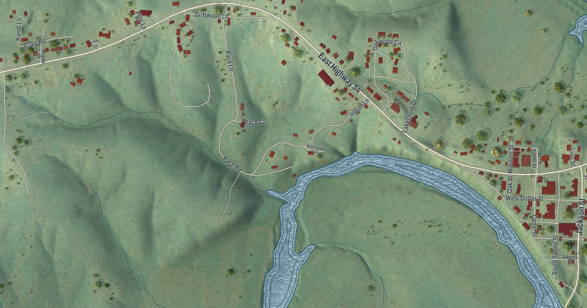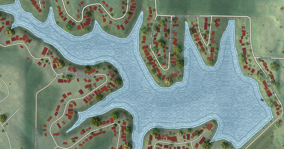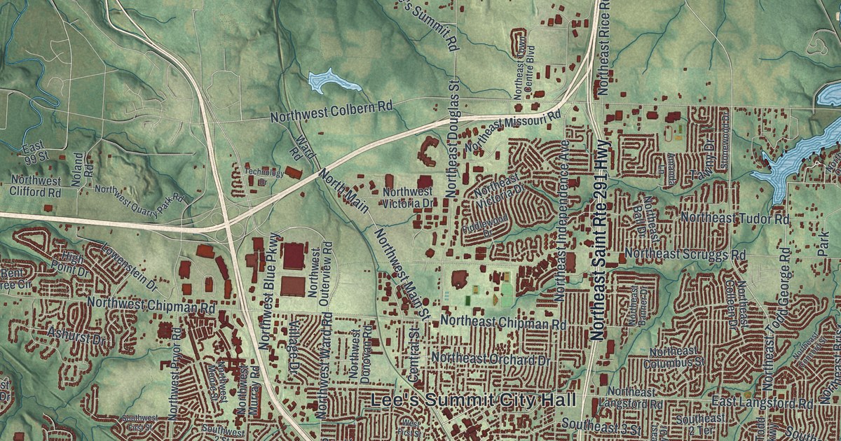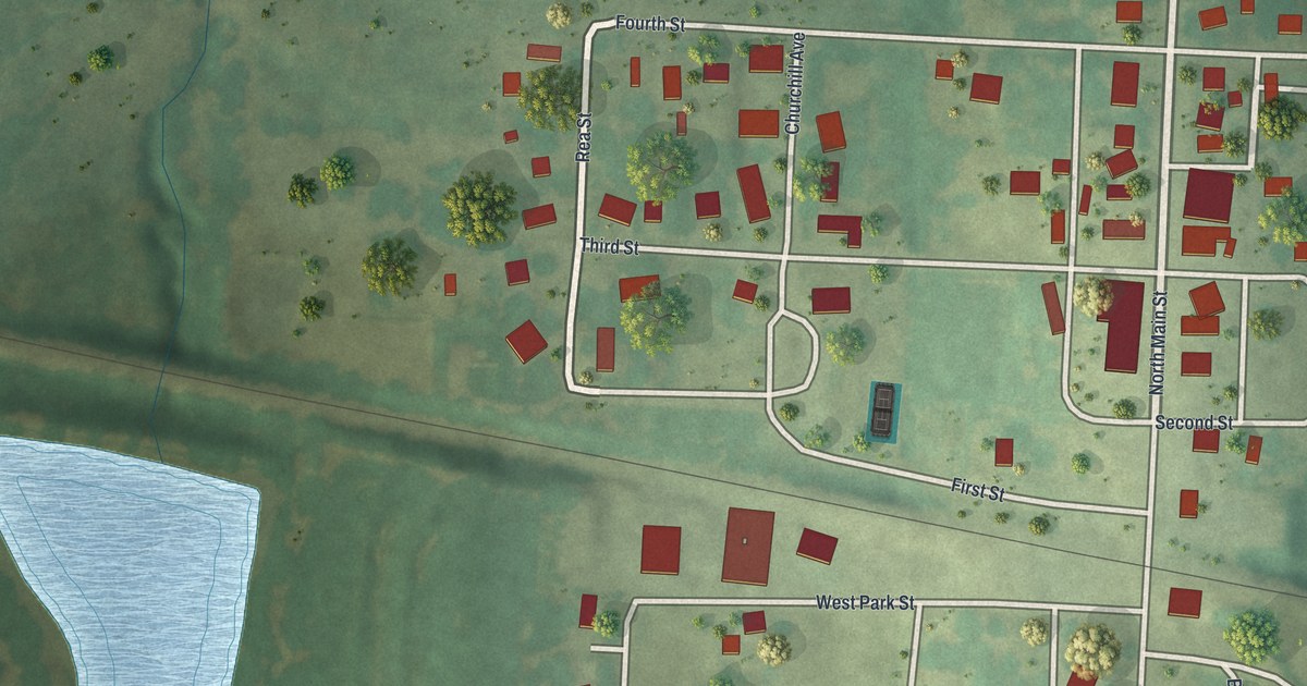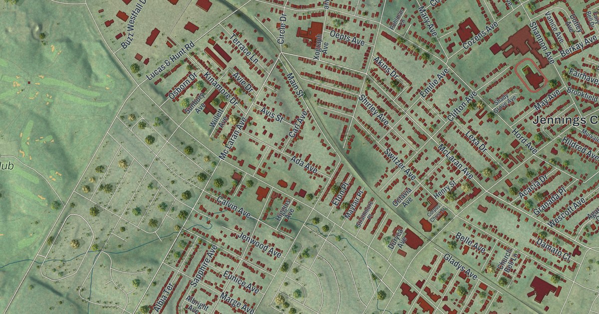
If you grew up on a Jennings block off West Florissant Avenue or Jennings Station Road, this map puts your whole neighborhood on one sheet. It's a modern aerial view with a vintage look, made from modern data, of Jennings in St. Louis County, Missouri. Thousands of small red shapes mark the buildings. Soft green hills and creek valleys fill the ground around them.
Jennings City Hall and the Streets Around It
On this map you'll find West Florissant Avenue, Jennings Station Road, Lucas & Hunt Road, Halls Ferry Road, Lewis and Clark Boulevard, Hord Avenue, Switzer Avenue, Hodiamont Avenue, Cozens Avenue, Buzz Westfall Drive, Jennings City Hall, Norwood Hills Country Club, and more. Each red shape is a building, so zoom in on the preview and look for yours.
Jennings Station Road and the Old Post Office
Jennings has a long history as a named place. The State Historical Society of Missouri keeps an old file of place names. It lists Jennings as a post office in northeast Central Township. That post office opened in 1876. It closed in 1904. Today the name is printed in big letters across the top of the title panel. You'll also see the name on Jennings Station Road, printed on the map.
The Carriage House on Hord Avenue
One building here is on the National Register of Historic Places. It's the Miles A. Seed Carriage House, behind 2456 Hord Ave. It was added to the list in 1987. A carriage house was built to hold a family's buggy and horses. Look for Hord Avenue on the map to find the street where it stands.
A Jennings Map for Home or Far Away
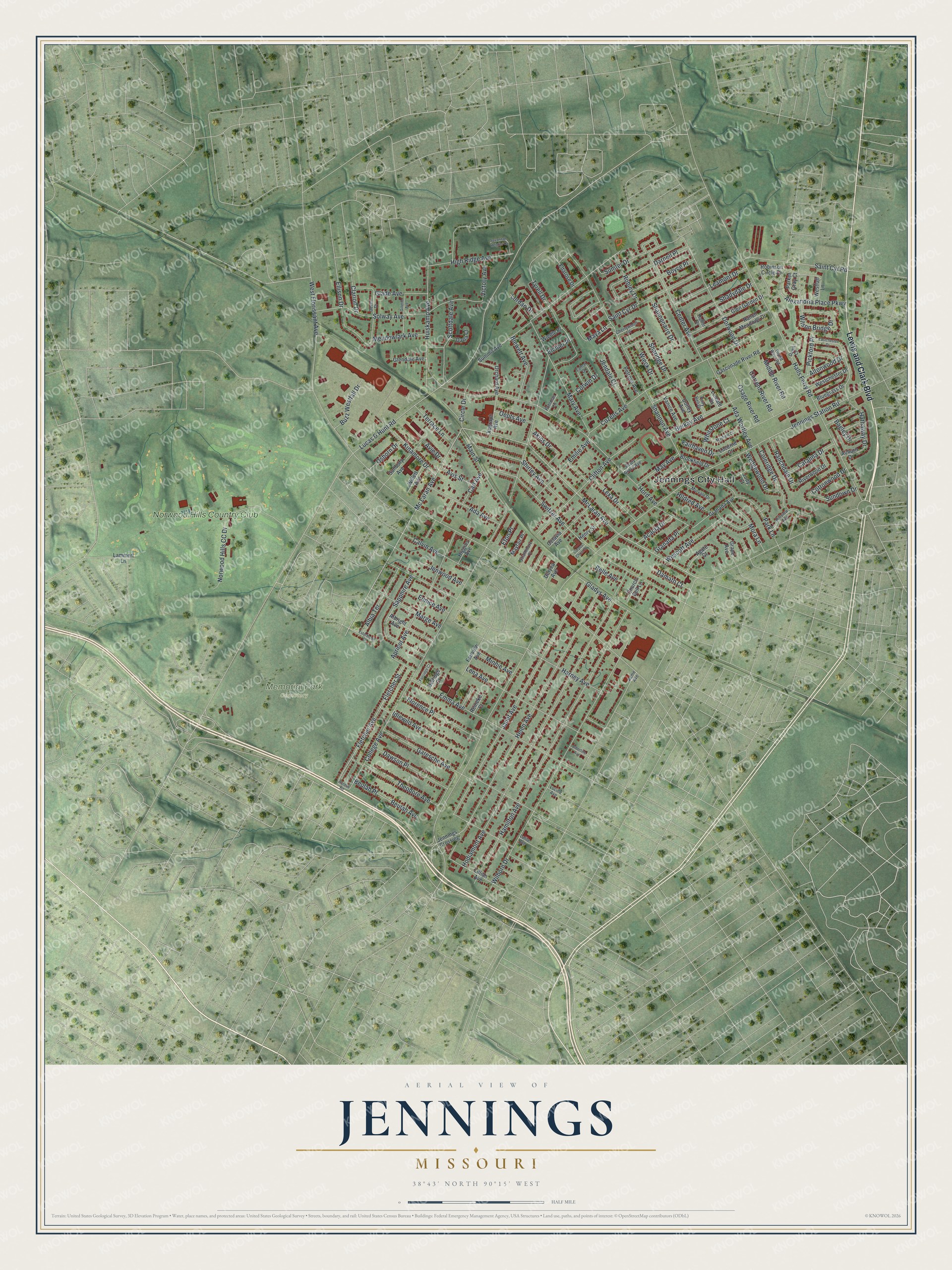
Created by KNOWOL in 2026, the print shows Jennings from above in soft greens, with red buildings and fine white street lines. The cream title panel reads "Aerial View of Jennings, Missouri" with the coordinates 38°43' North 90°15' West.
It fits well in a living room, a front hall or a home office. It makes a kind gift for someone who grew up near Jennings City Hall and has since moved away. Open the preview and find your street. See sizes and frames for the Jennings map.