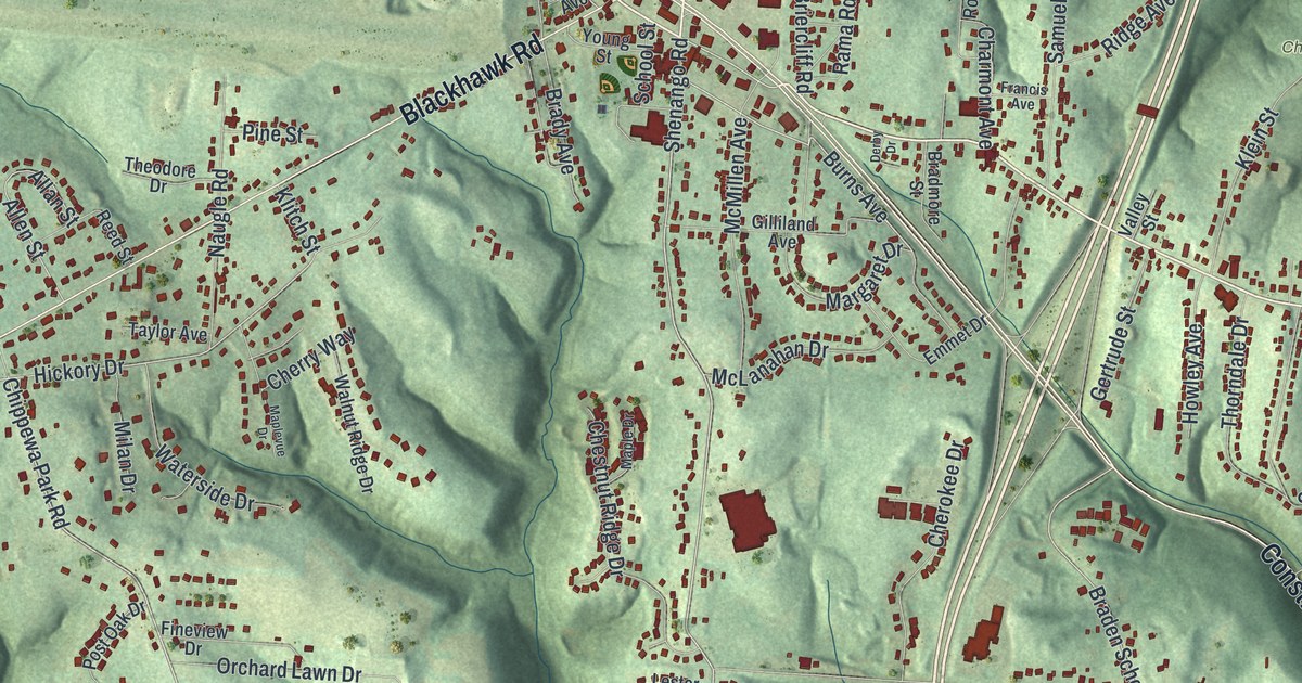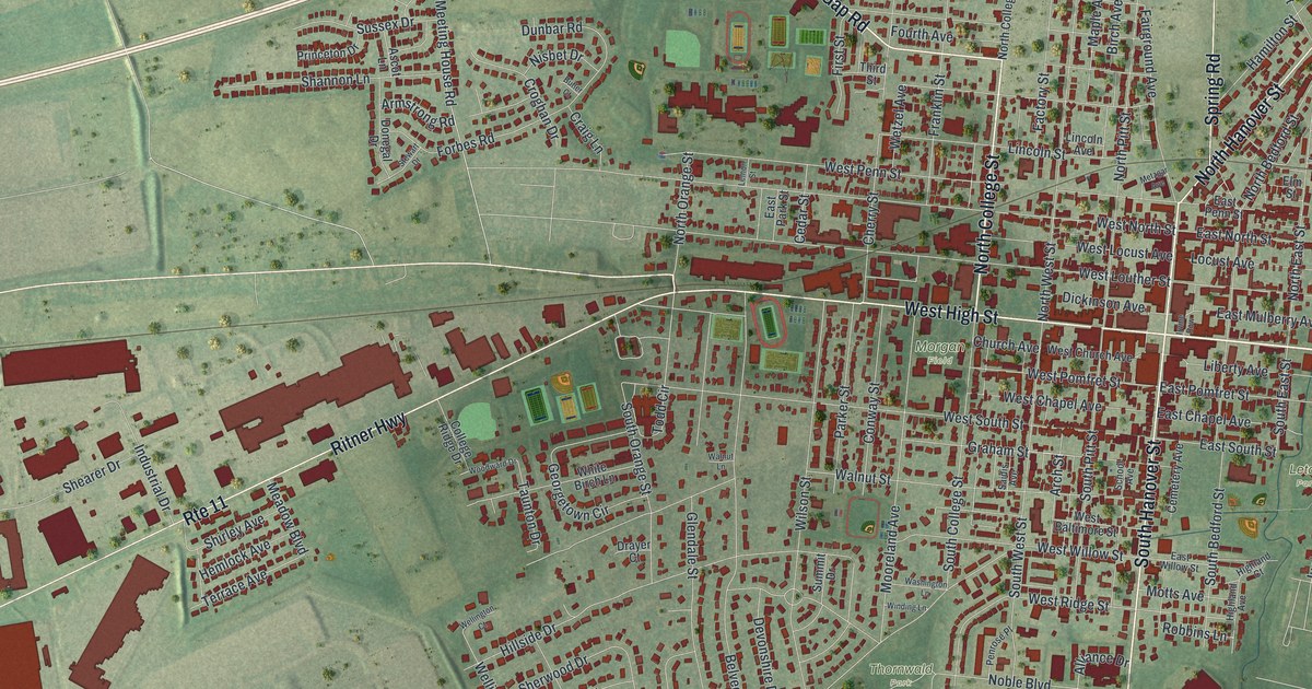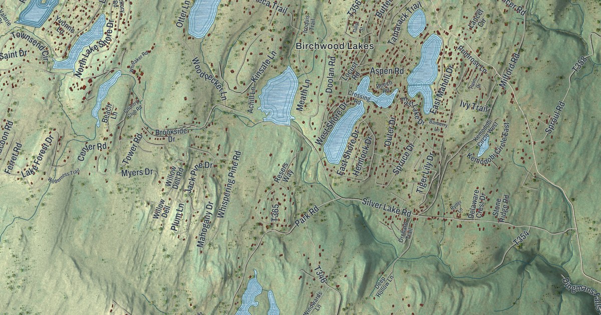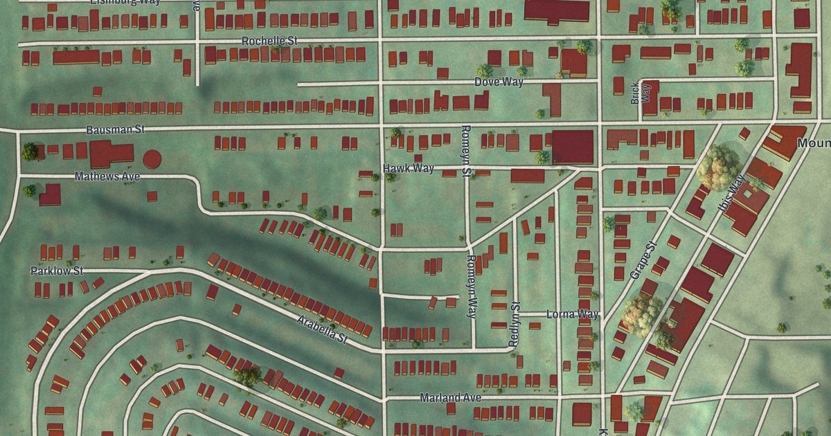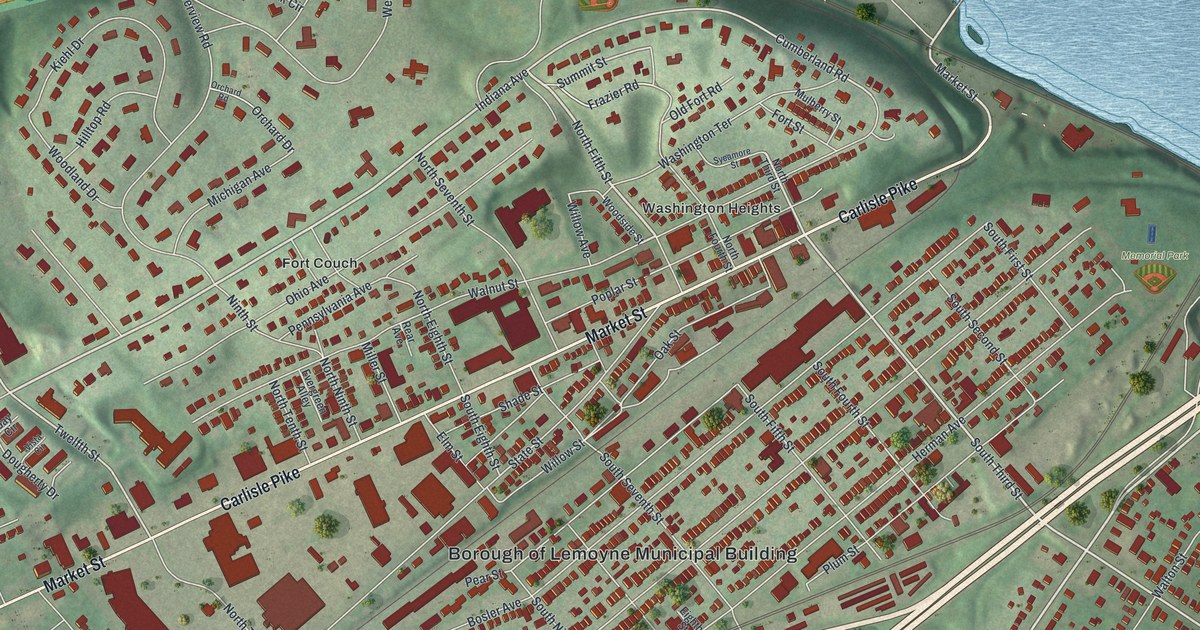
If you grew up in Lemoyne, look for your old block here. This aerial map of Lemoyne in Cumberland County, Pennsylvania is built from modern terrain, street and building data, with a vintage feel. Red buildings fill the street grid, green hills rise behind them, and a wide blue river borders the view.
Fort Couch and Lemoyne's streets
On this map you'll find Market Street, Hummel Avenue, Carlisle Pike, Bosler Avenue, Herman Avenue, Lowther Street, Walnut Street, Ohio Avenue, Fort Couch, Washington Heights, Memorial Park, and more. Each red shape is a building, so zoom in on the preview and look for yours.
The Fort Couch historical marker tells why defenses were built here before Gettysburg. They were meant to stop an expected Southern drive on Harrisburg. On June 29, 1863, a few Confederate scouts came near, then withdrew. The marker records the remains of earth defenses at Eighth and Ohio Streets. On the map, you'll find the Fort Couch name among the hillside blocks, with Ohio Avenue nearby.
Lemoyne, from Market Street to Memorial Park
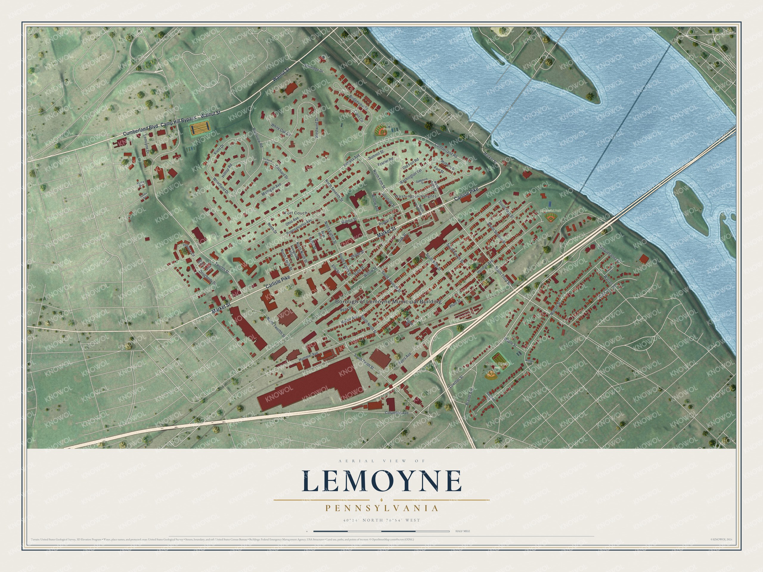
Created by KNOWOL in 2026, the print pairs soft green terrain with red buildings and blue water. A cream border surrounds the view. The title panel reads AERIAL VIEW OF LEMOYNE PENNSYLVANIA, with 40°14' NORTH 76°54' WEST below.
Hang it in a living room, home office, or entryway. It's a gift for someone who grew up near Memorial Park or has family in Lemoyne. Open the preview and find the block you'd like to keep close. See sizes and frames for the Lemoyne map.