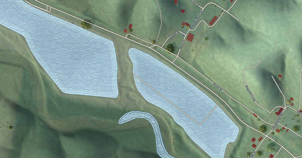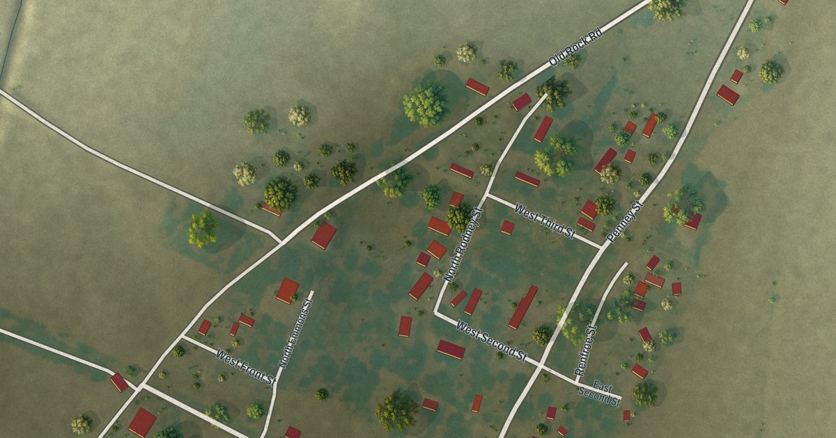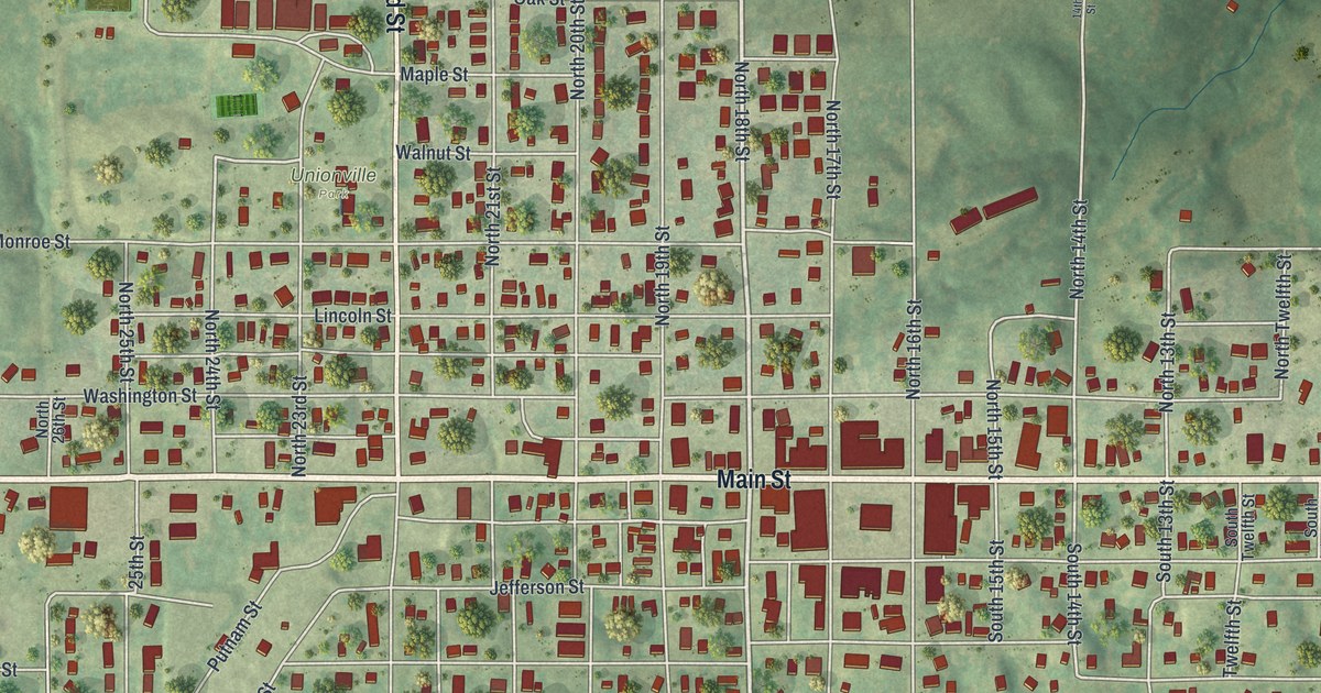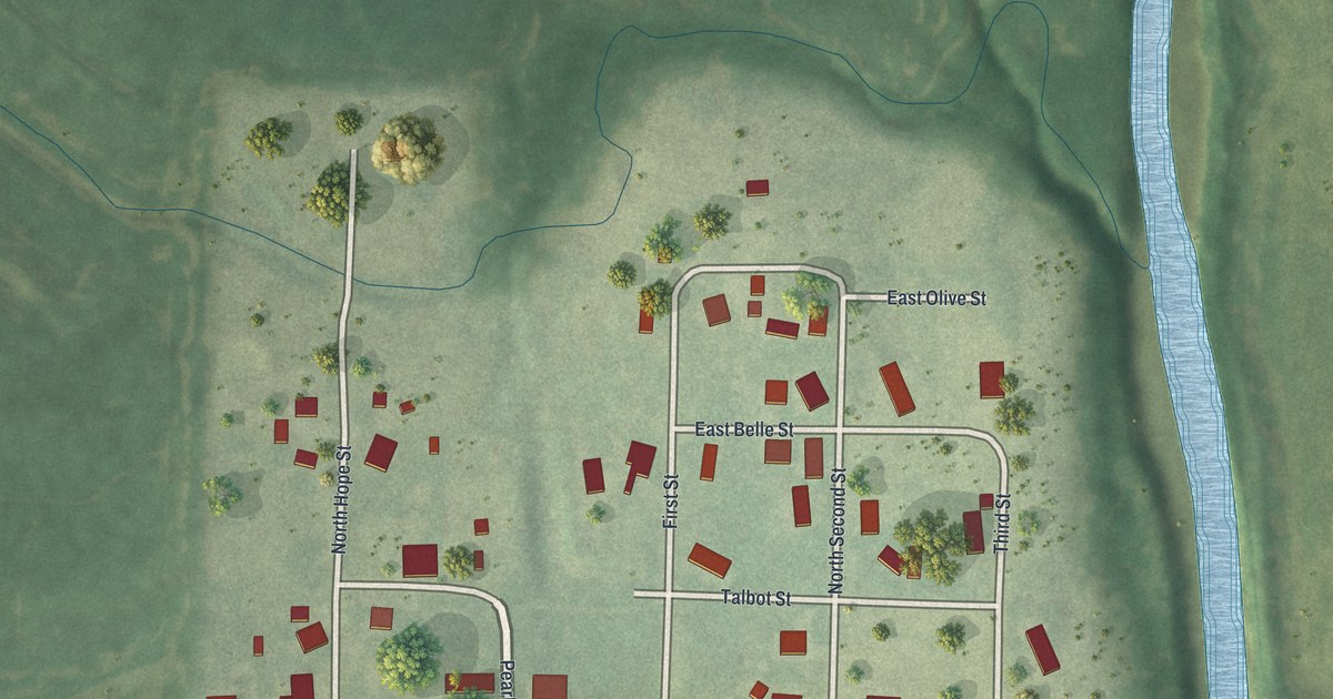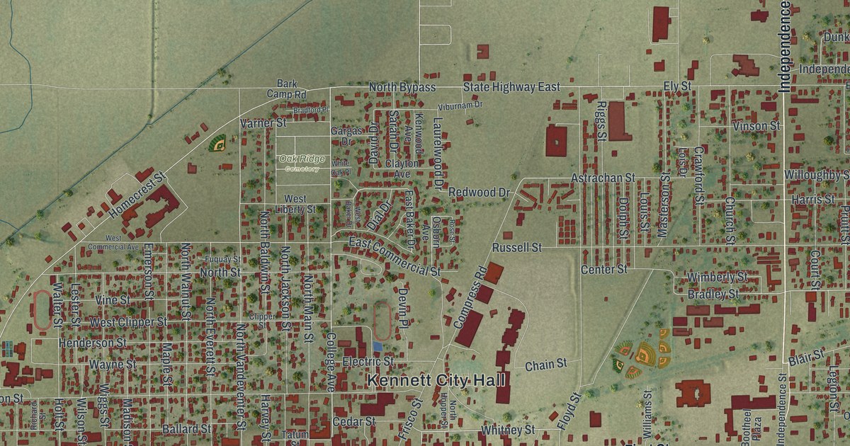
If you grew up in Kennett, look for your old block on this print. It's a modern aerial view of Kennett in Dunklin County, Missouri, made with modern data and a vintage feel. Red buildings fill the street grid, with green fields stretching beyond town.
Kennett's streets and its start in 1846
On this map you'll find First Street, Independence Street, South Main Street, Kennett City Hall, Saint Francis Street, College Avenue, Kennett Street, North Main Street, Court Street, Oak Ridge Cemetery, and more. Each red shape is a building, so zoom in on the preview and look for yours.
The State Historical Society of Missouri's place-name account says Kennett was laid out as a town in 1846. That's a date to share with someone who knows these blocks. On this view of today's town, Kennett City Hall is printed near the center, and First Street runs across the middle of the print. The National Register of Historic Places lists Kennett City Hall and Masonic Lodge at 122 College St., added in 1981, and the Ely and Walker Shirt Factory No. 5 at 221 S Main St., added in 2008.
Keep Kennett and First Street close
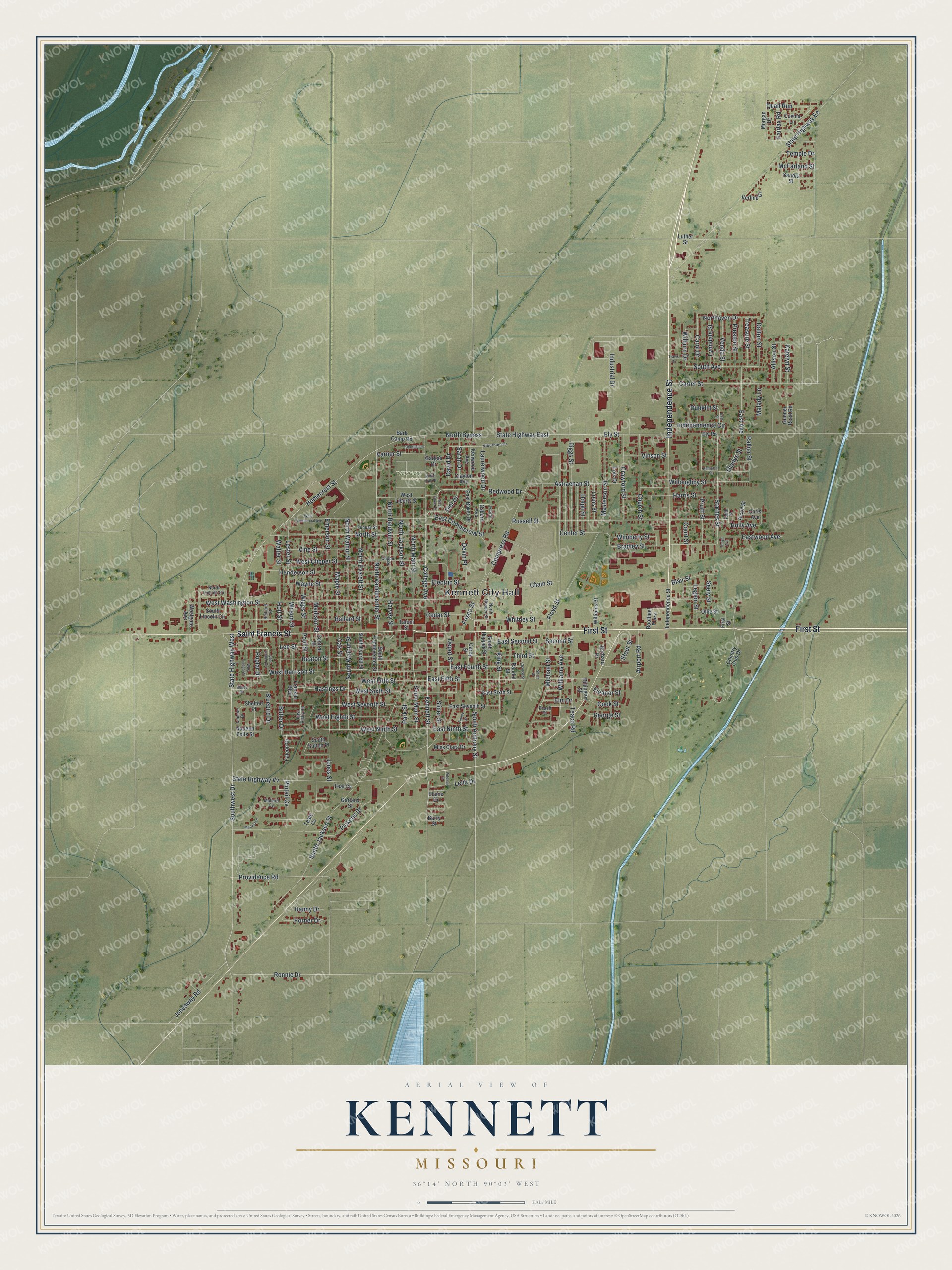
Created by KNOWOL in 2026, the print pairs soft green land with red buildings and pale blue water. A cream border surrounds the view. The title panel reads AERIAL VIEW OF KENNETT, MISSOURI, with 36°14' NORTH 90°03' WEST below.
Hang it in a living room, office, or entryway to keep home close. It's a gift for someone who grew up near First Street and has since moved away. See sizes and frames for the Kennett map.