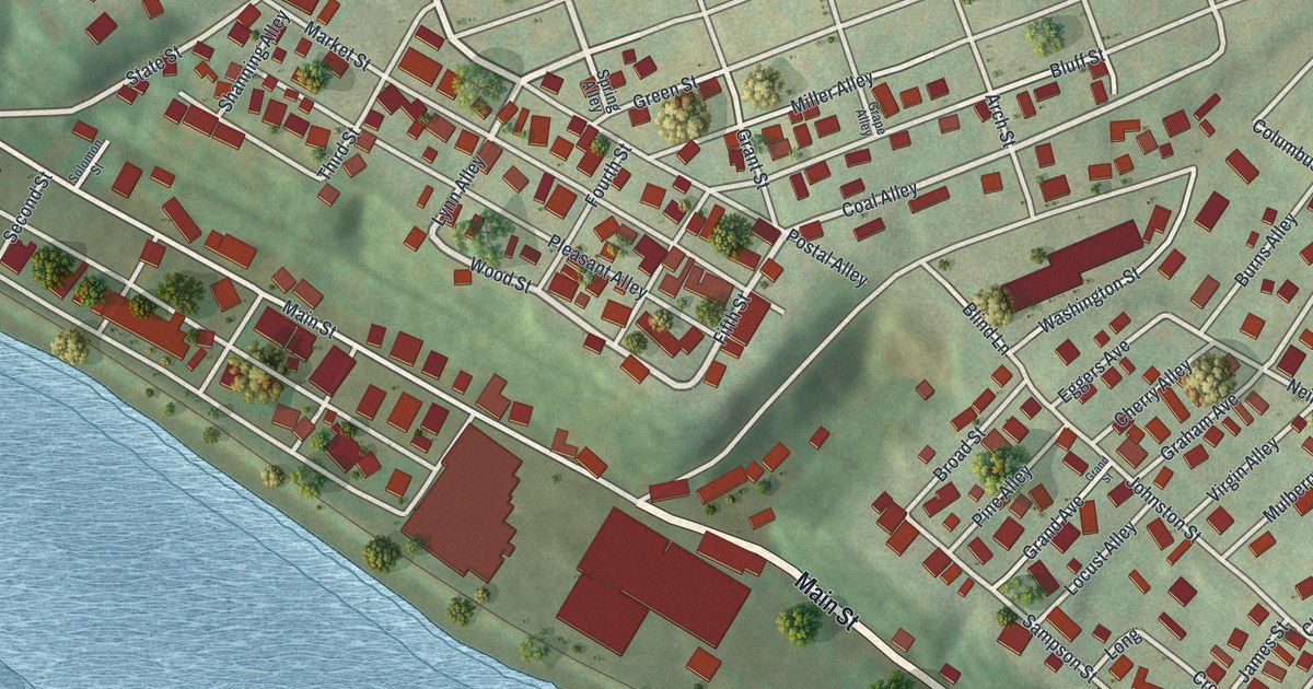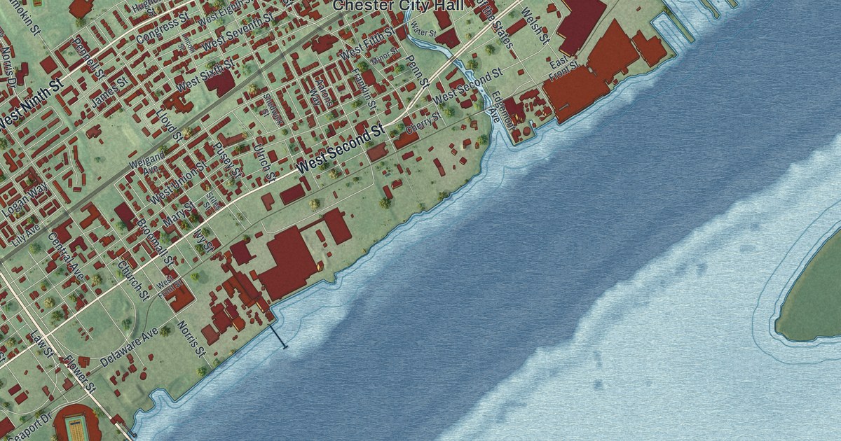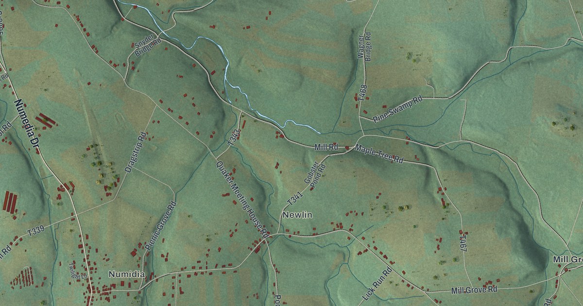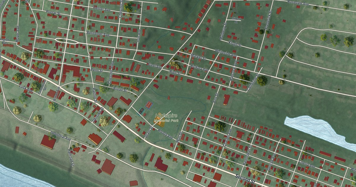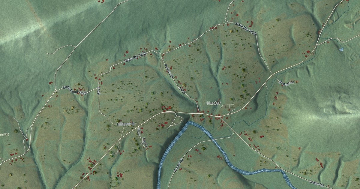
If you grew up in Little Mahanoy, these ridges and roads may look like home. This modern aerial view of Little Mahanoy in Northumberland County, Pennsylvania, pairs public terrain, water and building data with a vintage feel. Green hills frame a winding blue creek, with red buildings along the valley roads.
Hunter, Dornsife and Dunkelbergers
On this map you'll find Hunter, Dornsife, Dunkelbergers, State Game Land 84, Dornsife Mountain Road, Creek Road, Lower Road, Rebuck Road, Mountain Drive, Hillcrest Drive, Sunshine Road, Camp Kettle Road, and more. Each red shape is a building, so zoom in on the preview and look for yours.
Little Mahanoy Township was formed in 1813. According to the History of Northumberland County, Pennsylvania, it was formed that August from Augusta and Shamokin. Its first bounds reached from near the Susquehanna to the Schuylkill county line. The print gives you a closer view, with Hunter, Dornsife and Dunkelbergers among the hills.
Little Mahanoy's Hills on Your Wall
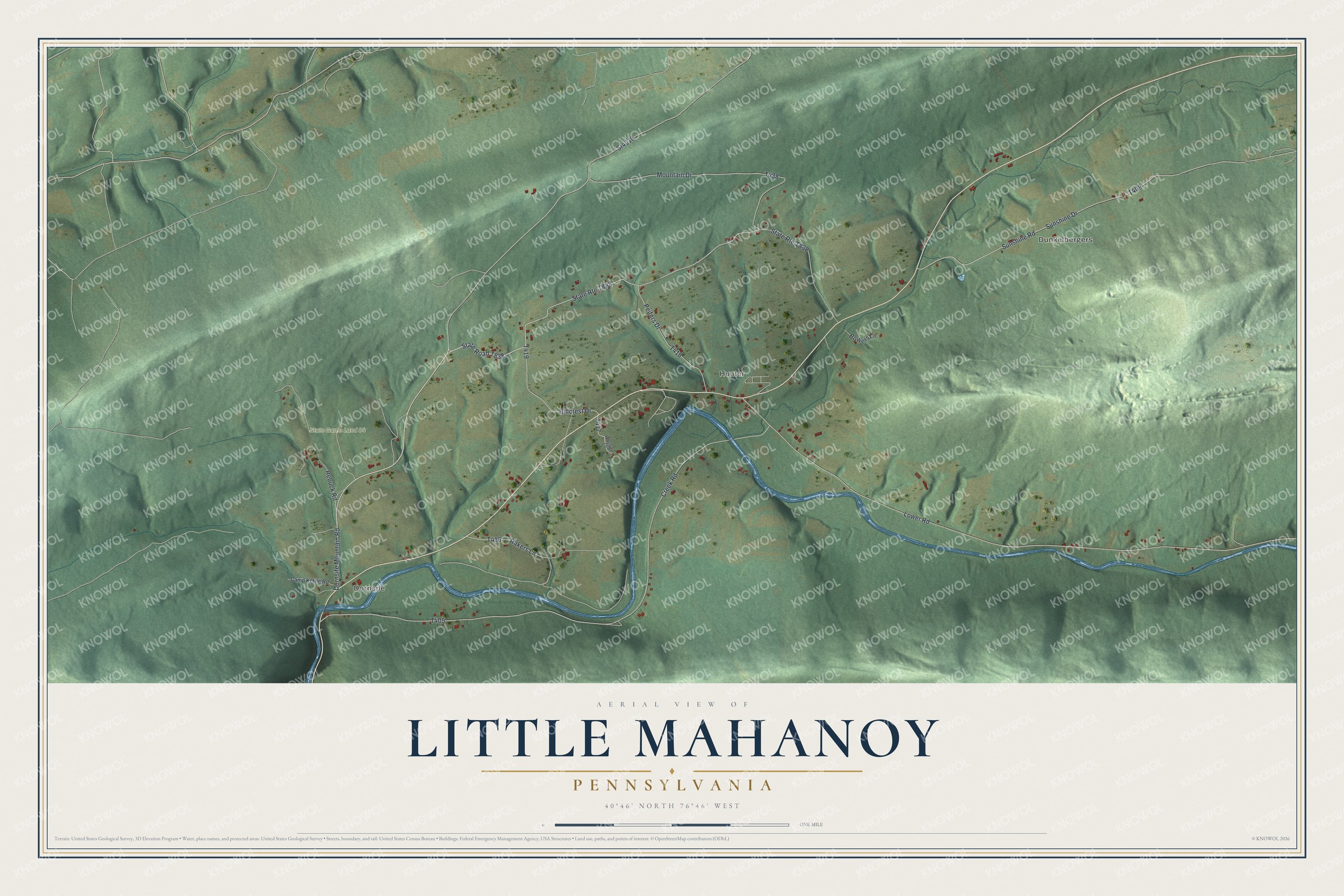
Created by KNOWOL in 2026, the print uses soft green terrain, blue water and small red building shapes. A cream border surrounds the view. The title panel reads AERIAL VIEW OF, LITTLE MAHANOY, PENNSYLVANIA, and 40°46' NORTH 76°46' WEST.
It's a good fit for a living room, hallway or home office. Give it to someone with family near Hunter, or keep Little Mahanoy close in your own home. Open the preview to take a closer look at the hills and roads. See sizes and frames for the Little Mahanoy map.