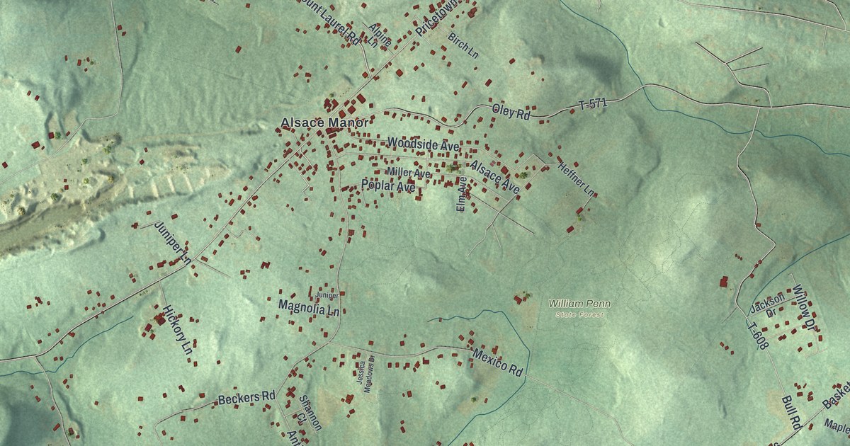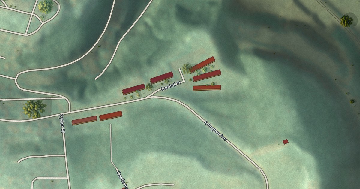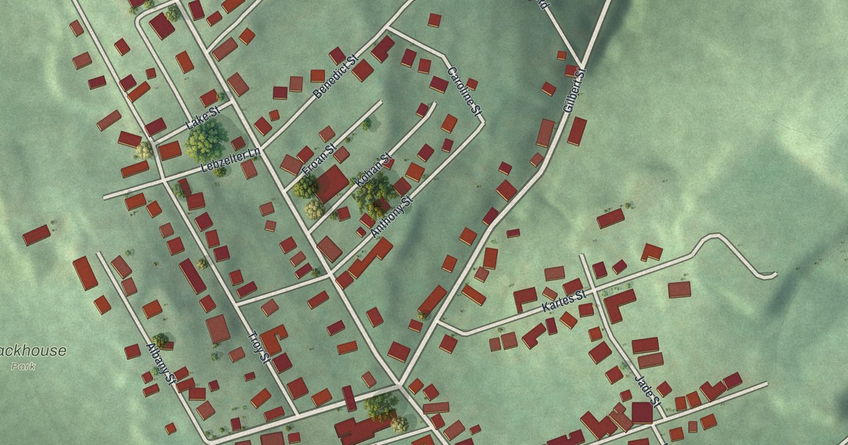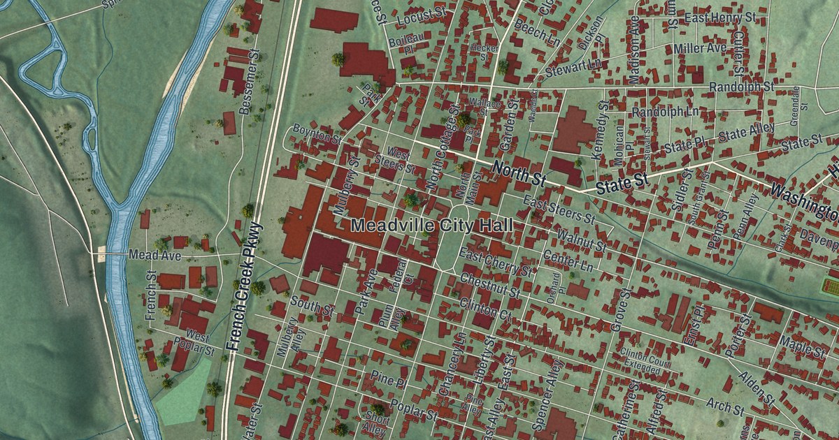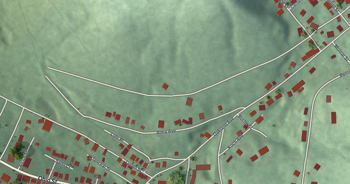
If you grew up along Ohio Street or still have family on Penrod Street, this print puts your borough on the wall. It's a new aerial view of Lorain in Cambria County, Pennsylvania, made with modern map data and given a vintage look. Red shapes mark Lorain's buildings along Ohio Street, set between green, shaded hills. A tight grid of streets fills the left side of the sheet, and a strip of blue water shows in the top left corner.
Ohio Street, Ruby Street and the streets of Lorain
On this map you'll find Ohio Street, Lorain Borough Veterans Memorial Park, Penrod Street, Oakland Avenue, Woodland Avenue, Alma Avenue, View Street, Highland Drive, Green Valley Street, Ruby Street, Emerald Street, Blue Diamond Street, Carnation Street, and more. Each red shape is a building, so zoom in on the preview and look for yours.
The Lorain Steel Company in the 1907 county history
The name Lorain turns up in the History of Cambria County, printed in 1907. The book tells how the 1889 flood nearly wiped out a busy borough near Johnstown. It says that borough had held the Johnstown works of a company that is "now the Lorain Steel Company." A state marker in Johnstown gives the size of the loss. On May 31, 1889, the South Fork Dam broke. A wall of water 35 feet high killed 2,209 people. It wrecked more than 1,600 homes. People from across America helped Johnstown rebuild.
From 1938 to 1943, the U.S. Army Corps of Engineers built a concrete channel 9.2 miles long along Johnstown's three rivers. Another marker says it became the second largest flood control project of its type in the country. In its first 50 years, the only flooding came in 1977. On this sheet, Lorain's buildings line Ohio Street, Oakland Avenue and Penrod Street among the green hills.
Lorain Borough Veterans Memorial Park and home
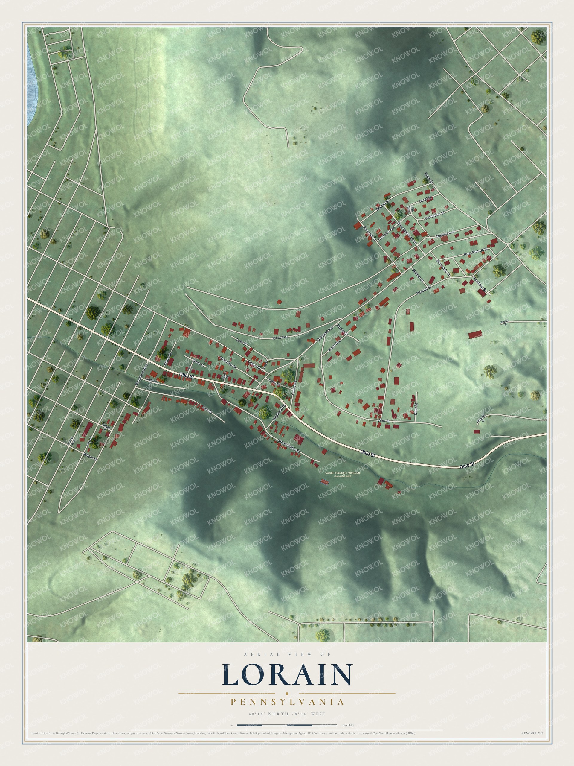
Created by KNOWOL in 2026, the print shows Lorain in soft green shaded hills, with white roads and red building shapes. The cream title panel at the bottom reads "Aerial View of Lorain, Pennsylvania" with the coordinates 40°18' North 78°54' West.
It fits a living room, a front hall or a quiet den. It's a thoughtful gift for someone who moved away and still thinks of Lorain Borough Veterans Memorial Park and the houses on Ohio Street. Open the preview and find your own street. See sizes and frames for the Lorain map.