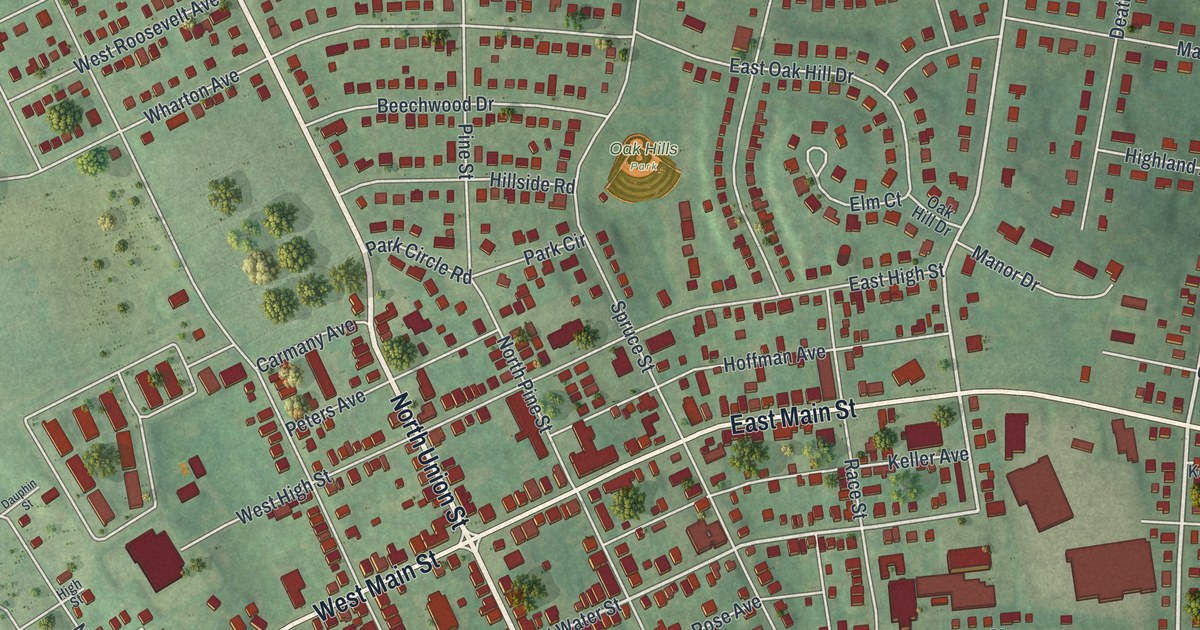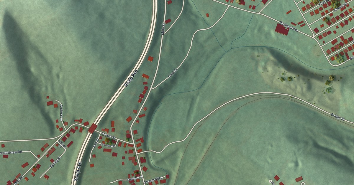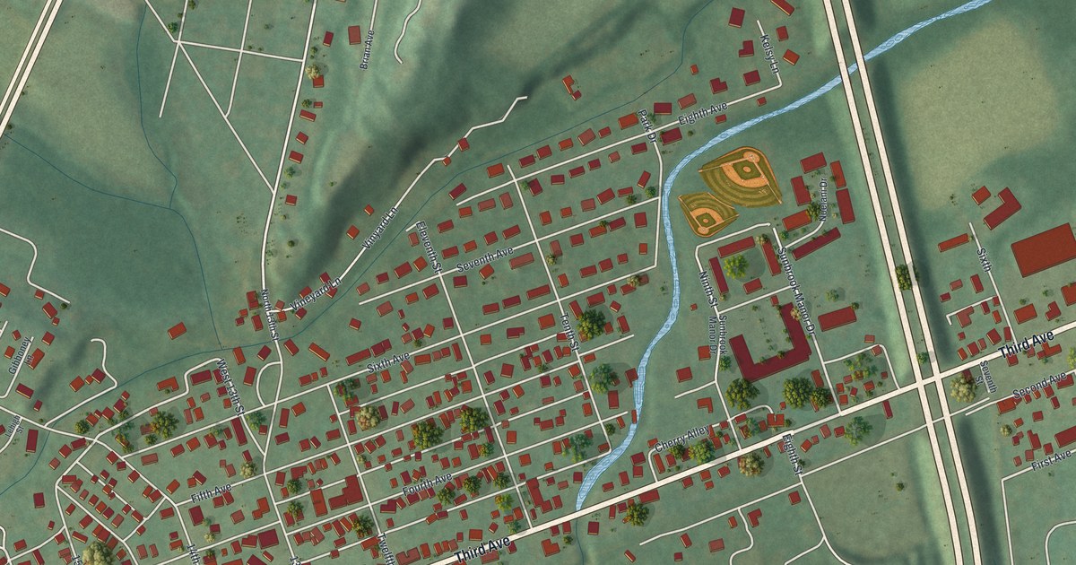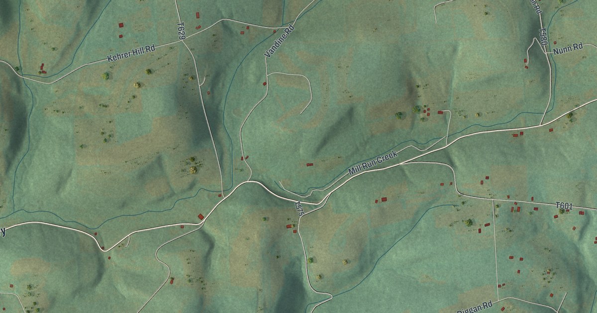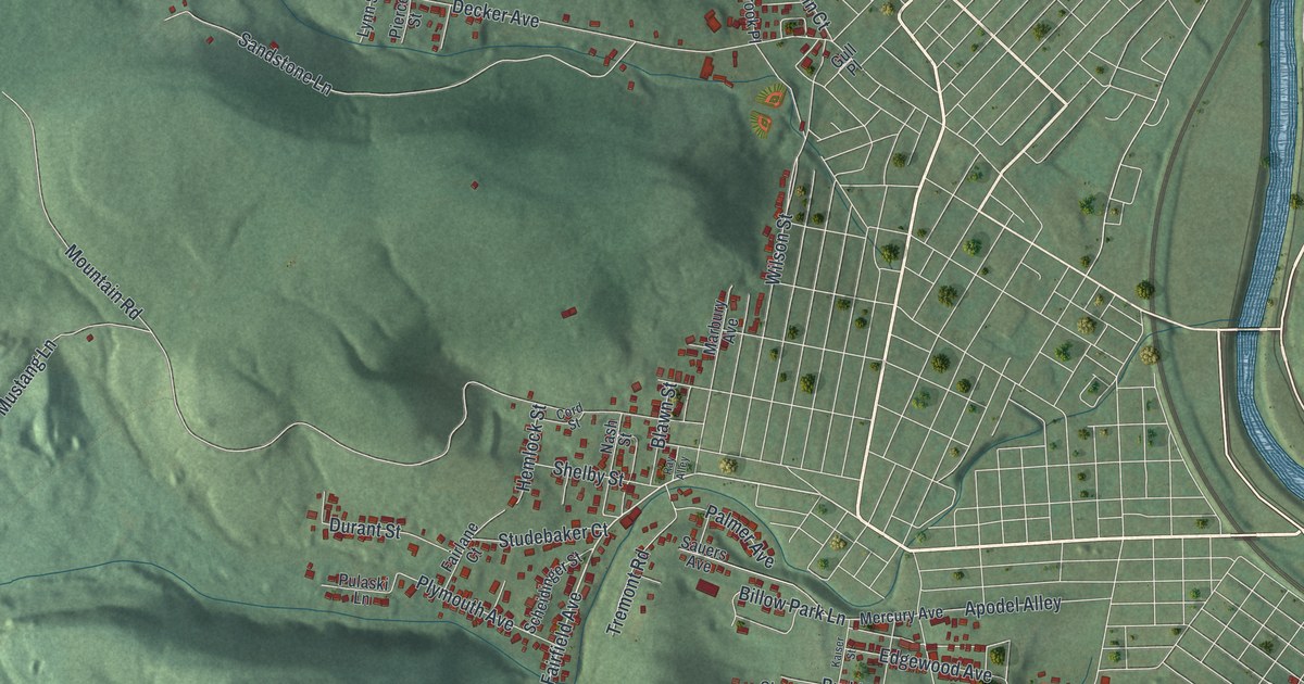
If you grew up in Westwood or near Stackhouse Park, you'll know the streets on this map. It's a new aerial view of Lower Yoder in Cambria County, Pennsylvania, made from modern data and given a vintage feel. Green hills fill most of the sheet. A blue river curves down the right side, past Cambria City. Red shapes mark the buildings on the hillsides, and they pack in closest around Westwood near the bottom.
Westwood, Cambria City and Stackhouse Park
On this map you'll find Westwood, Cambria City, Stackhouse Park, Laurel Ridge State Park, Haws Pike, Fairfield Avenue, Harold Avenue, Decker Avenue, Goucher Street, Mountain Road, Saint Clair Road, Sons of Italy Road, Plymouth Avenue, Edgewood Avenue, and more. Each red shape is a building, so zoom in on the preview and look for yours.
How Lower Yoder got its name
The History of Cambria County, from 1907, tells how the township began. Yoder township was created on July 17, 1858, out of Conemaugh township. It was named for David Yoder, a farmer. On September 1, 1879, it was split in two. One part became Lower Yoder. The other became Upper Yoder.
Lower Yoder also gave up land as Johnstown grew. The court took Cambria borough from it in 1861. That name came from the mills of the Cambria Iron Company. Cambria borough joined the city of Johnstown on December 18, 1889. Morrellville was taken from Lower Yoder in 1890, and it joined Johnstown in 1897. Today Cambria City is printed near the river on the right side of the map. A state marker there says it was founded in 1853 as the first home for immigrants who came to work in the coal mines and steel mills.
From Laurel Ridge State Park to Westwood
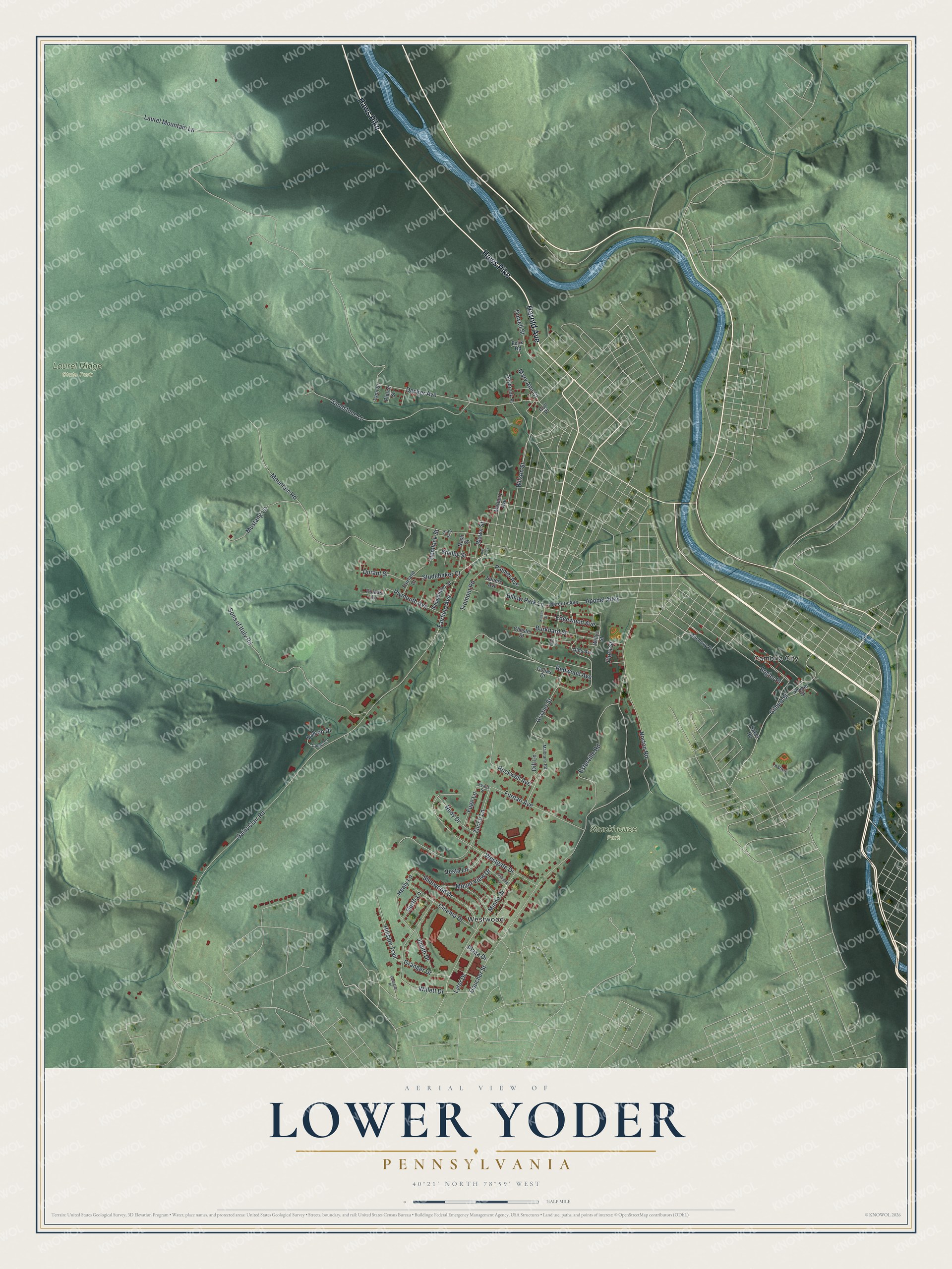
Created by KNOWOL in 2026, this print shows Lower Yoder's hills in soft shades of green, with a blue river, pale roads and red buildings. The title panel says AERIAL VIEW OF LOWER YODER, PENNSYLVANIA, with the coordinates 40°21' NORTH 78°59' WEST.
It fits well in a living room, a den or a home office. It's a good gift for someone who grew up near Stackhouse Park and has since moved away. Open the preview and find your street. See sizes and frames for the Lower Yoder map.