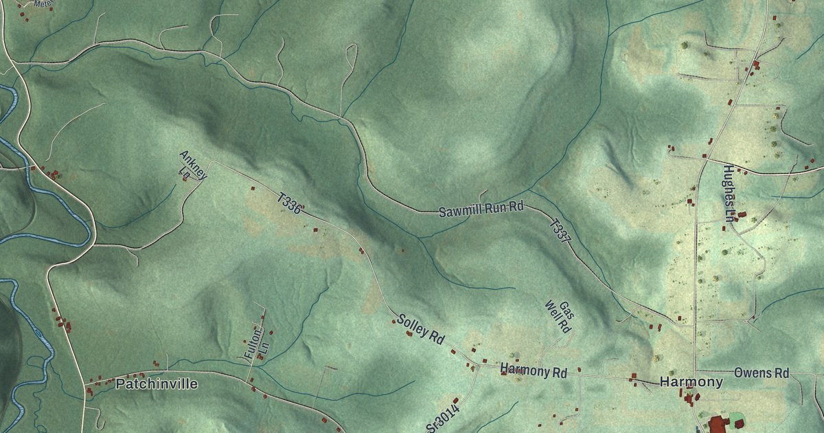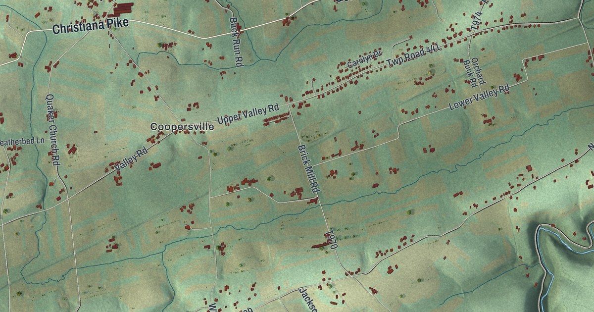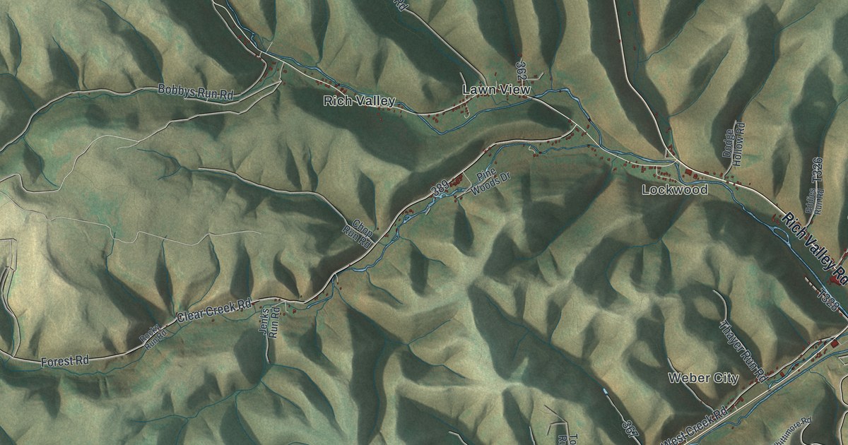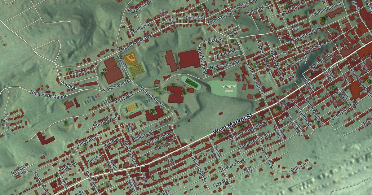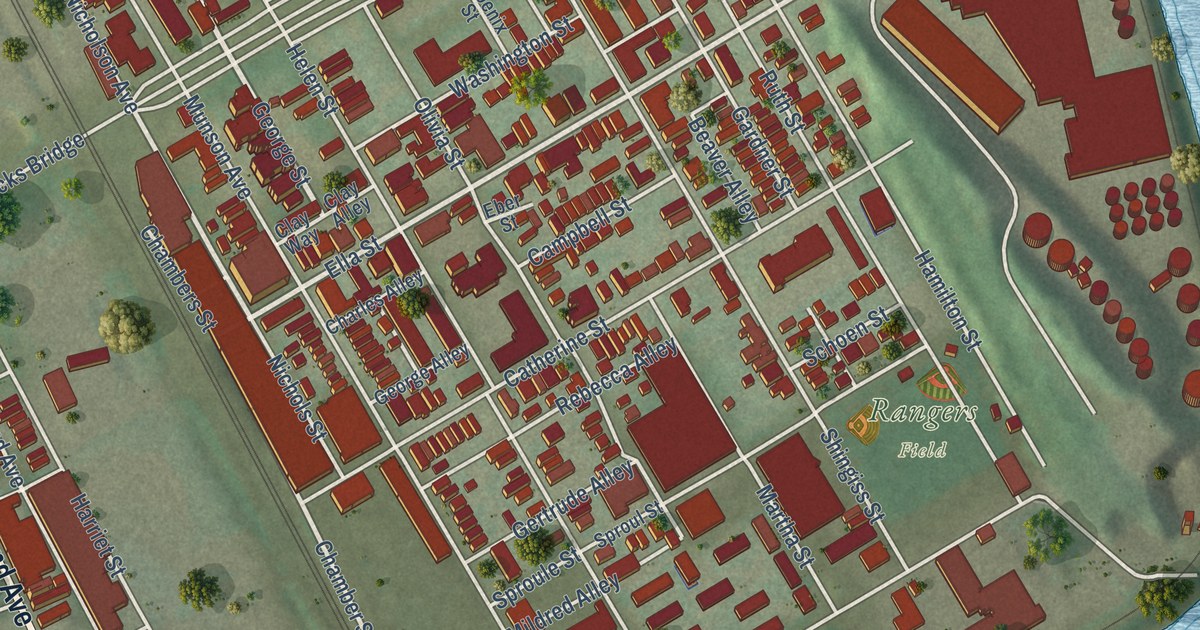
This beautifully detailed map of McKees Rocks, Pennsylvania was created in 2026 using aerial imagery combined with modern topographical, census, street and landmark data. It’s a one-of-a-kind view of McKees Rocks that combines accurate data with a vintage aesthetic. The map shows every building in its true location, many of the roads carry their names, and the shaded topographic relief shows the shape of the land.
Explore an aerial view of McKees Rocks, Pennsylvania
On the map you’ll find Rangers Field, 3rd Street Park, and Wind Gap Bridge, along with Locust Street, Island Avenue, West Carson Street, Chartiers Avenue, George Street, Nicholson Avenue, Sproule Street, Sproul Street, Chamber Street, and more. If you look closely you can even find your house accurately drawn in its correct location. Zoom in on the preview to look for yours.
Take a closer look at the McKees Rocks map
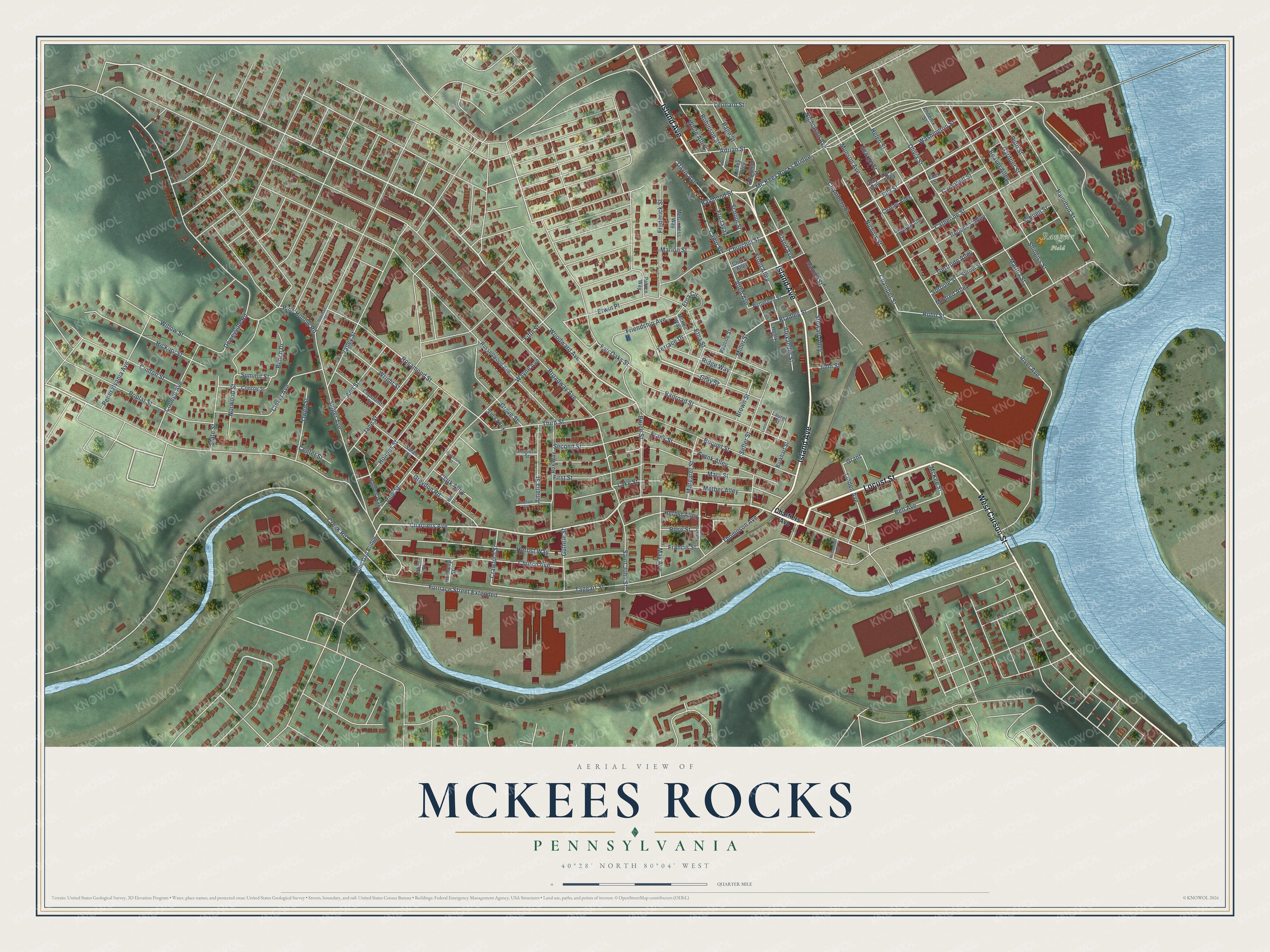
Street and place names on the McKees Rocks, Pennsylvania map
These names are printed on the map of McKees Rocks, Pennsylvania.
Places: Rangers Field.
Streets and roads: Locust Street, Island Avenue, West Carson Street, George Street, Gray Street, Chartiers Avenue, Ella Street, Woodward Avenue, Nicholson Avenue, Chamber Street, Bruce Street, Raymond Street.
More street names, A to Z
Adrian Street, Alexander Street, Alice Street, Allen Avenue, Amelia Street, Ann Street, Beaver Alley, Bell Avenue, Bench Drive, Boquet Street, Bradley Street, Broadway Avenue, Brown Street, Burkhart Street, Campbell Street, Camp Street, Catherine Street, Center Street, Chambers Street, Charles Alley, Cherry Alley, Church Avenue, Churchill Street, Clark Alley, Clay Alley, Clay Way, Clever Avenue, Clinton Street, College Avenue, Conroy Street, Copeland Street, Coxey Alley, Crawford Street, Creek Road, Davis Avenue, Deweyville Road, Dohrman Street, Eber Street, Erwin Place, Etna Circle, Etna Street, Fair Oaks Street, Fifth Street, First Street, Francis Street, Frank Alley, Frank Street, Frederick Street, Friendship Avenue, Front Alley, Fruit Way, Furnace Street Extended, Gardner Street, George Alley, Gertrude Alley, Grant, Greydon Road, Grove Street, Guthrie Street, Hamilton Street, Harriet Street, Helen Street, Henry Street, Herbst Alley, Herbst Way, Hickory Street, Hill Street, Holmes Street, Holmes Way, Jane Street, John Street, Kennedy Street, Lake Street, Laurel Street, Leonard Street, Linden Avenue, Linton Street, Margaret Street, Marion Street, Martha Street, Mary Street, May Avenue, McDonalds Way, McGinness Way, Mc Kees Rocks Bridge, McKee Street, McKee Way, Metber Alley, Mildred Alley, Miller Street, Munson Avenue, Nichols Street, Norwood Street, Odonovan Street, Olivia Street, Owen Street, Page Street, Palace Way, Patterson Street, Pauline Street, Pennsylvania Avenue, Phoenix Street, Pine Hollow Road, Poplar Street, Progress Street, Railroad Street, Rebecca Alley, Ridge Way, River Avenue, Robb Street, Robinson Street, Rosamond Street, Rose Street, Rox Way, Russellwood Avenue, Ruth Street, Saint John Street, Sarah Street, Schoen Street, School Street, Second Street, Sefler Street, Shingiss Street, Short Street, Singer Avenue, Sproule Street, Sproul Street, State Street, Stewart Alley, Summit Street, Taggart Street, Terrace Drive, Third Street, Thompson Avenue, University Street, Valley Street, Vera Alley, Vine Street, Washington Street, Wayne Avenue, White Alley, Willow Street, Wind Gap Bridge, Wright Street, Yunkers Street, Zinkham Street.
See the McKees Rocks, Pennsylvania map on a wall
The McKees Rocks map as an 18 x 24 inch print in a black frame.

This beautifully detailed map of McKees Rocks makes an attractive addition to your office, library, or den, and it can even be used to teach children the geography and history of the area. It also makes a great gift for anyone with McKees Rocks roots. When you’re done exploring, click here to get your copy of the McKees Rocks map.