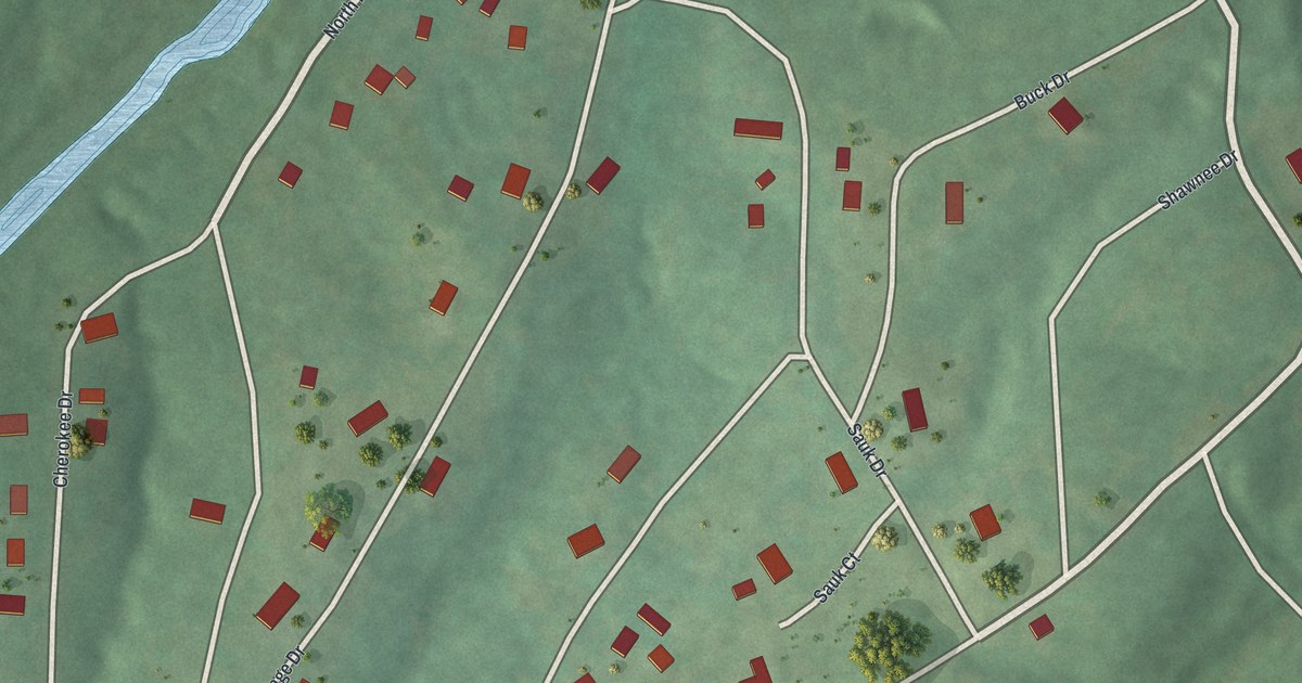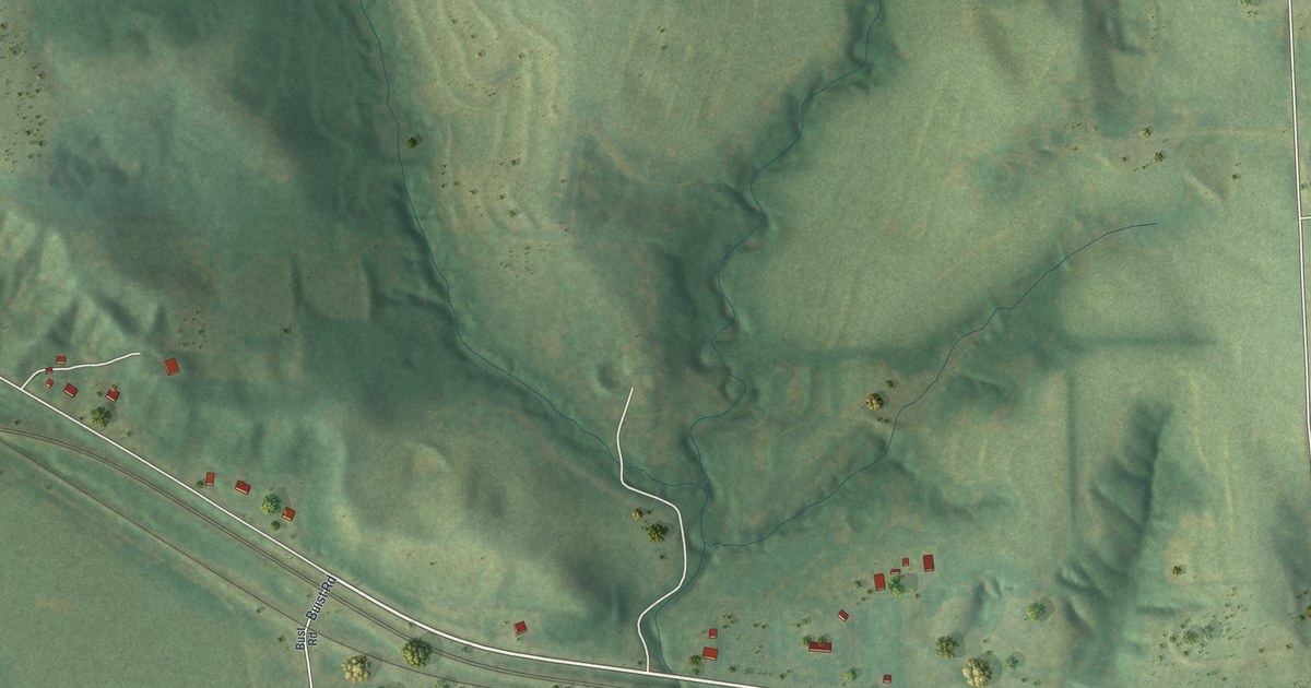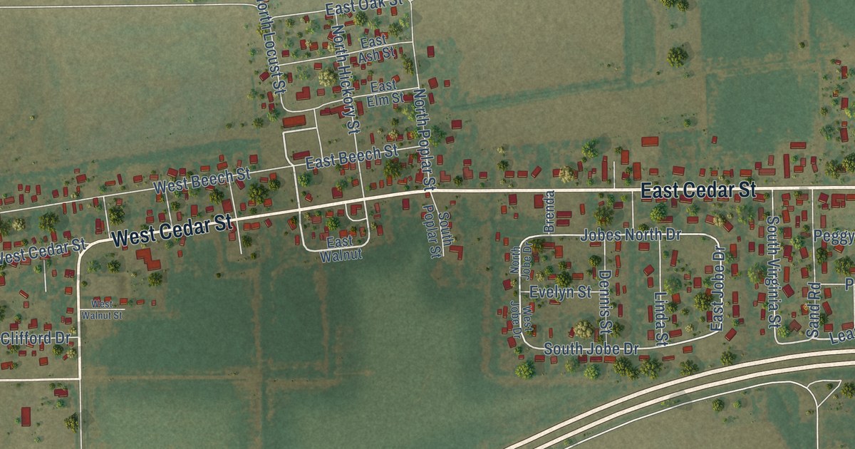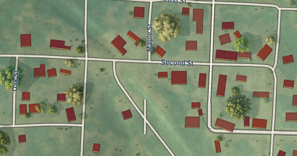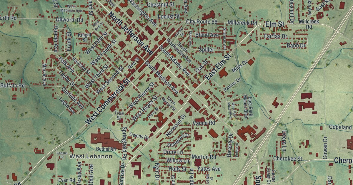
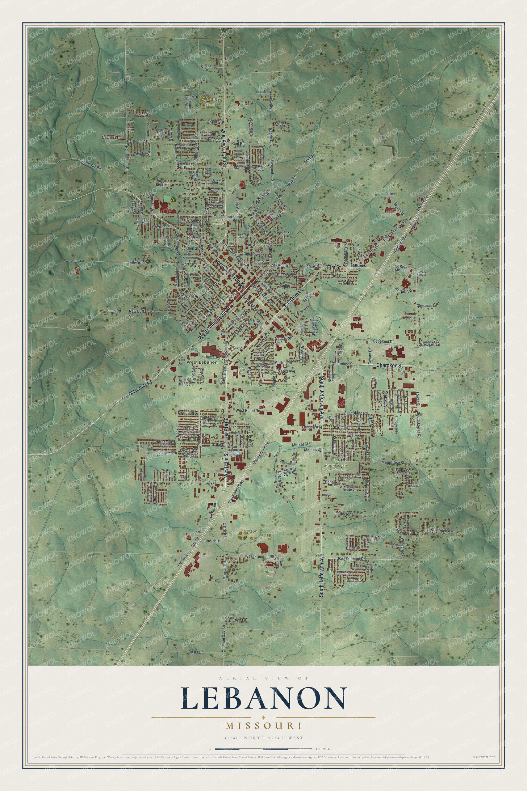
This beautifully detailed map of Lebanon, Missouri was created in 2026 using aerial imagery combined with modern topographical, census, street and landmark data. It’s a one-of-a-kind view of Lebanon that combines accurate data with a vintage aesthetic. The map shows every building in its true location, many of the roads carry their names, and the shaded topographic relief shows the shape of the land.
Explore an aerial view of Lebanon, Missouri
On the map you’ll find West Lebanon, Atchley Park, Harke Park, Lebanon Cemetery, Mount Rose Memorial Park, and Nelson Park, along with West Elm Street, East Elm Street, Elm Street, West Commercial Street, Cherokee Street, South Jefferson Avenue, and more. If you look closely you can even find your house accurately drawn in its correct location. Zoom in on the preview to look for yours.
Did you know this piece of Lebanon, Missouri history?
Lebanon was founded in 1849, and its first name was Wyota. Reverend Benjamin Hooker renamed the town for his own hometown, Lebanon, Tennessee. Many of the first settlers had also come from that Tennessee town. Later, Lebanon became a Route 66 stop with many motels for travelers.
Take a closer look at the Lebanon map
Street and place names on the Lebanon, Missouri map
These names are printed on the map of Lebanon, Missouri.
Places: West Lebanon, Atchley Park, Harke Park, Lebanon Cemetery, Mount Rose Memorial Park and Nelson Park.
Streets and roads: West Elm Street, East Elm Street, Elm Street, West Commercial Street, Hst Route 66, Cherokee Street, South Jefferson Avenue, North Jefferson Avenue, Lynn Avenue, Lynn Street, Millcreek Road, City Route 66.
More street names, A to Z
Adams Place, Addison Drive, Alexis Avenue, Allen Street, Allison Drive, Amy Drive, Apple Lane, Arbour Drive, Ash Street, Audrey Lane, Auglaize Drive, Babb Drive, Beacon, Beck Lane, Benage Drive, Bennett Street, Bethel Road, Beverly Drive, Birchbark Lane, Bland Avenue, Blueberry Lane, Bluebird Lane, Blue Bird Lane, Boardwalk Drive, Bonnie Drive, Brice Street, Britney Drive, Brook Street, Burd Road, Butler Drive, Candlebark Lane, Castle Rock Avenue, Catalpa Lane, Catherine Street, Cedar Crest Drive, Cedar Lawn Drive, Charlton Lane, Cherry Hills Lane, Cherry Street, Chestnut Street, Clark Avenue, Coach Road, Cobb Drive, Copeland Drive, Copperwood Drive, County Road Mm-300, County Road X44-601, Cowan Drive, Crescent Drive, Crestline Street, Curry Street, Cypress Drive, Danielle Drive, Dara Drive, Daytona Drive, Deadra, Deere Lane, Dillworth Road, Dilworth Road, Drury Lane, Dwight Street, East Bland Road, East Fremont Road, Eastmont, East Park Manor Boulevard, East Route 66, East Seminole Avenue, East Street, Elizabeth Drive, Emerald Lane, Enfield Drive, Evan Road, Evergeen Parkway, Evergreen Parkway, Fairfax Drive, Fairfield Street, Farmers Lane, Finch Road, Finn Drive, Fowler Road, Foxwood Court, Frank Street, Freddie Lane, Frisco Drive, Frisco Street, Garfield Avenue, Gateway Road, Gentry Road, Glencastle Lane, Glenridge Street, Goldenwood Road, Greenbrier Street, Green Hills Road, Greenleaf Road, Gresham Lane, Harris Lane, Harrison Street, Harwood Avenue, Heidi Road, Herndon Road, Highland Street, Highway Mm, Highway Yy, Hillsdale Street, Hillside Court, Hillside Drive, Hogan Drive, Holly Street, Holman Road, Hood Street, Hoover Avenue, Hospital Drive, Howard Drive, Hst Route 86, Indian Creek Drive, Industrial Drive, Ivey Lane, Jaden Drive, Jean Drive, Jerald Avenue, Jessalinn Drive, Jessie Street, Jordan Drive, Julia Drive, Kansas Street, Kasen Road, Keller Drive, Kenoly Street, Kent Drive, King James Road, Knight Street, Kuhn Avenue, Laclede Street, Lacy Drive, Lake Drive, Lana Drive, Lantern Lane, Lasalle Street, Lawson Avenue, Lee Street, Lewis Street, Lilly Street, Lincoln Avenue, Linda Circle, Locust Street, Logan Avenue, Lyle Street, Magnolia Drive, Main Street, Manors Drive, Mantle Avenue, Maple Lane, Market Street, Marvin Avenue, Matthew Drive, Mayfield Street, Miller Street, Mills Drive, Morgan Road, Morris Avenue, Morton Road, Mountrose Street, Nathaniel Drive, National Avenue, New Buffalo Road, New Street, North Adams Avenue, North Bend Road, Northbrook Street, Northgate Drive, North King Street, North Sloan Street, Northview Street, North Washington Avenue, Norwood Drive, Oakdale Drive, Oak Street, Oasis Drive, Ohio Avenue, Old Buffalo Road, Orchard Drive, Ortega Drive, Osage Street, Ostrich Drive, Ostrich Lane, Owens Drive, Ozark Drive, Palmer Drive, Pearl Street, Peoria Drive, Perry Street, Phillips Drive, Pine Street, Planeview Avenue, Polk Avenue, Ponderosa, Prairie Ridge Drive, Quail Valley Circle, Rader, Rader Drive, Raef Road, Rolling Hills Road, Rosenthal Street, Rosewood Drive, Route 66, Royal Oak Street, Ryan Street, Saint Louis Street, Sherman Avenue, Smith Road, South Adams Avenue, South Bend Road, South King Street, South Madison Avenue, South Monroe Street, South Sloan Street, South Tower Road, South Washington Avenue, Spiller, Springfield Road, Stanwood Drive, State Highway Mm, State Highway West, State Highway Yy, Stella Street, Sunrise Drive, Sunset Drive, Taylor Street, Tekary Street, Texas Avenue, Timbercreek Drive, Timberwood Lane, Tower Road, Troutman Drive, True Street, Tulane Street, Tuscumbia Street, Twin Oaks, Tyler Drive, Utah Street, Vance Road, Vernon Street, Walser, Weaver Street, West Bland Road, West Fifth Street, West Fourth Street, West Fremont Road, West Hayes Street, West Madison Avenue, West Park Manor Boulevard, West Pierce Street, West Second Street, West Sixth Street, West Third Street, Whitney Lane, Willow Lane, Windbrook, Windsor Drive, Wire Road, Woodhill Drive, Woodside Drive, Woodspice Trail, Wood Street, Woody Drive, Wrinkle Avenue, Wyota Drive, Yates Avenue.
See the Lebanon, Missouri map on a wall
The Lebanon map as an 18 x 24 inch print in a black frame.

This beautifully detailed map of Lebanon makes an attractive addition to your office, library, or den, and it can even be used to teach children the geography and history of the area. It also makes a great gift for anyone who grew up in Lebanon or moved away. When you’re done exploring, click here to get your copy of the Lebanon map.