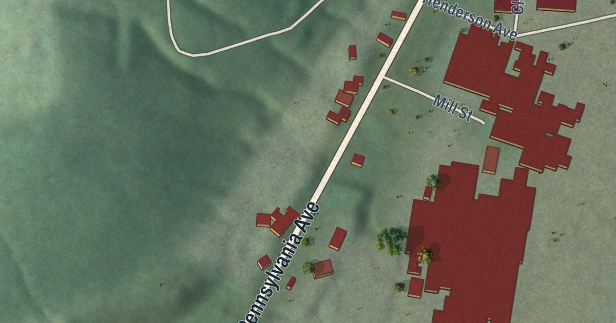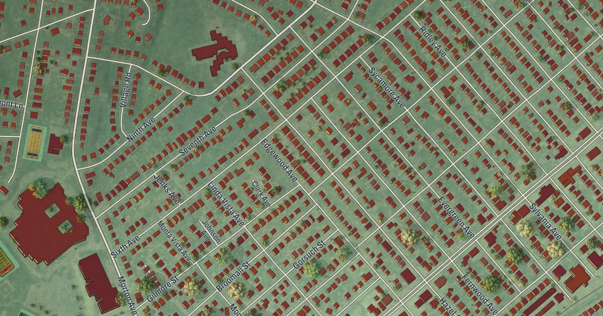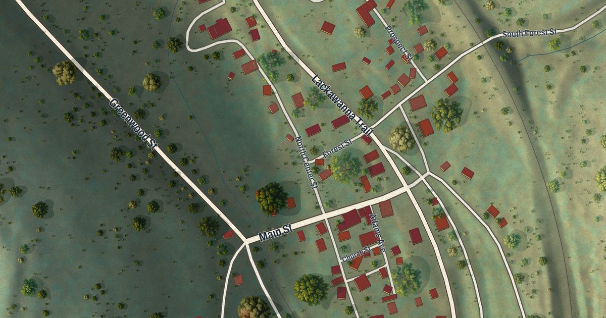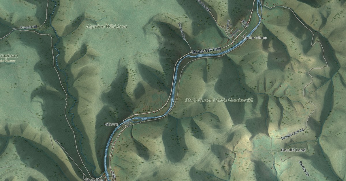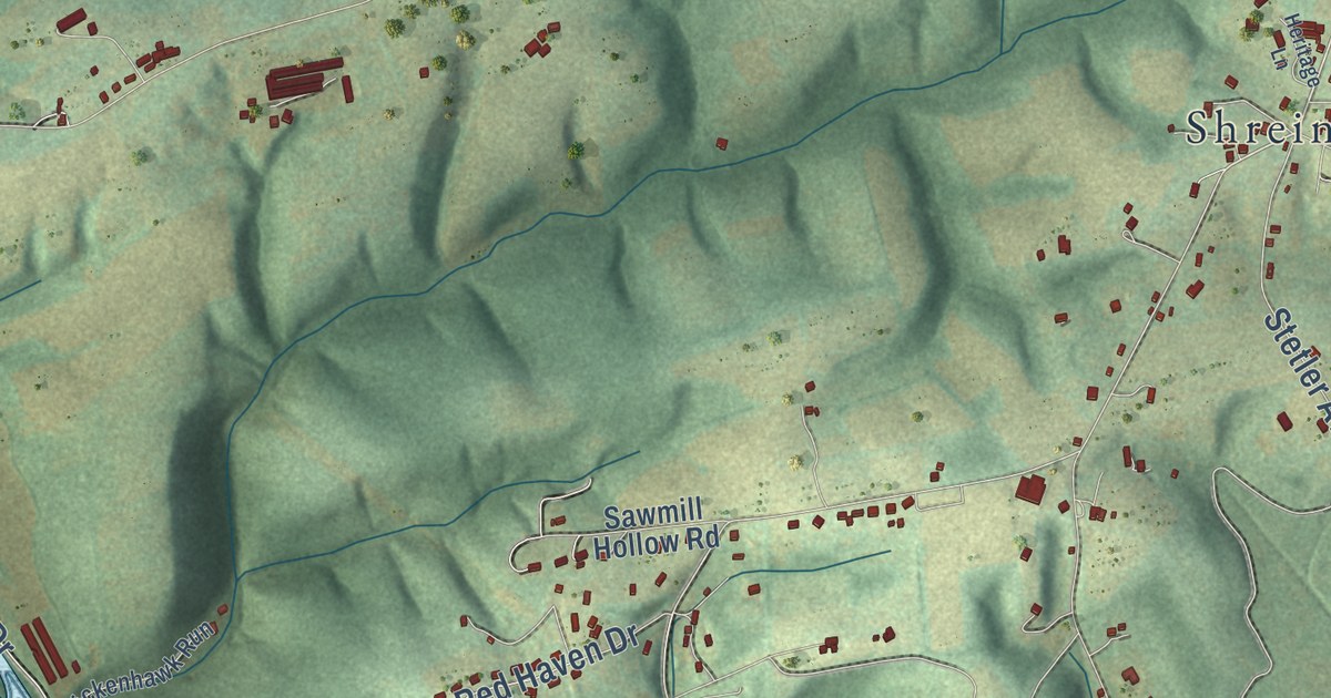
This beautifully detailed map of Monroe, Snyder County, Pennsylvania was created in 2026 using aerial imagery combined with modern topographical, census, street and landmark data. It’s a one-of-a-kind view of Monroe that combines accurate data with a vintage aesthetic. The map shows every building in its true location, many of the roads carry their names, and the shaded topographic relief shows the shape of the land.
Explore an aerial view of Monroe, Snyder County, Pennsylvania
On the map you’ll find Hummels Wharf, Shreiners, Sr2 1022, and Sr2 1017, along with North Susquehanna Trail, Water Street, County Line Road, Park Road, Airport Road, Stetler Avenue, App Road, and more. If you look closely you can even find your house accurately drawn in its correct location. Zoom in on the preview to look for yours.
Take a closer look at the Monroe, Snyder County map
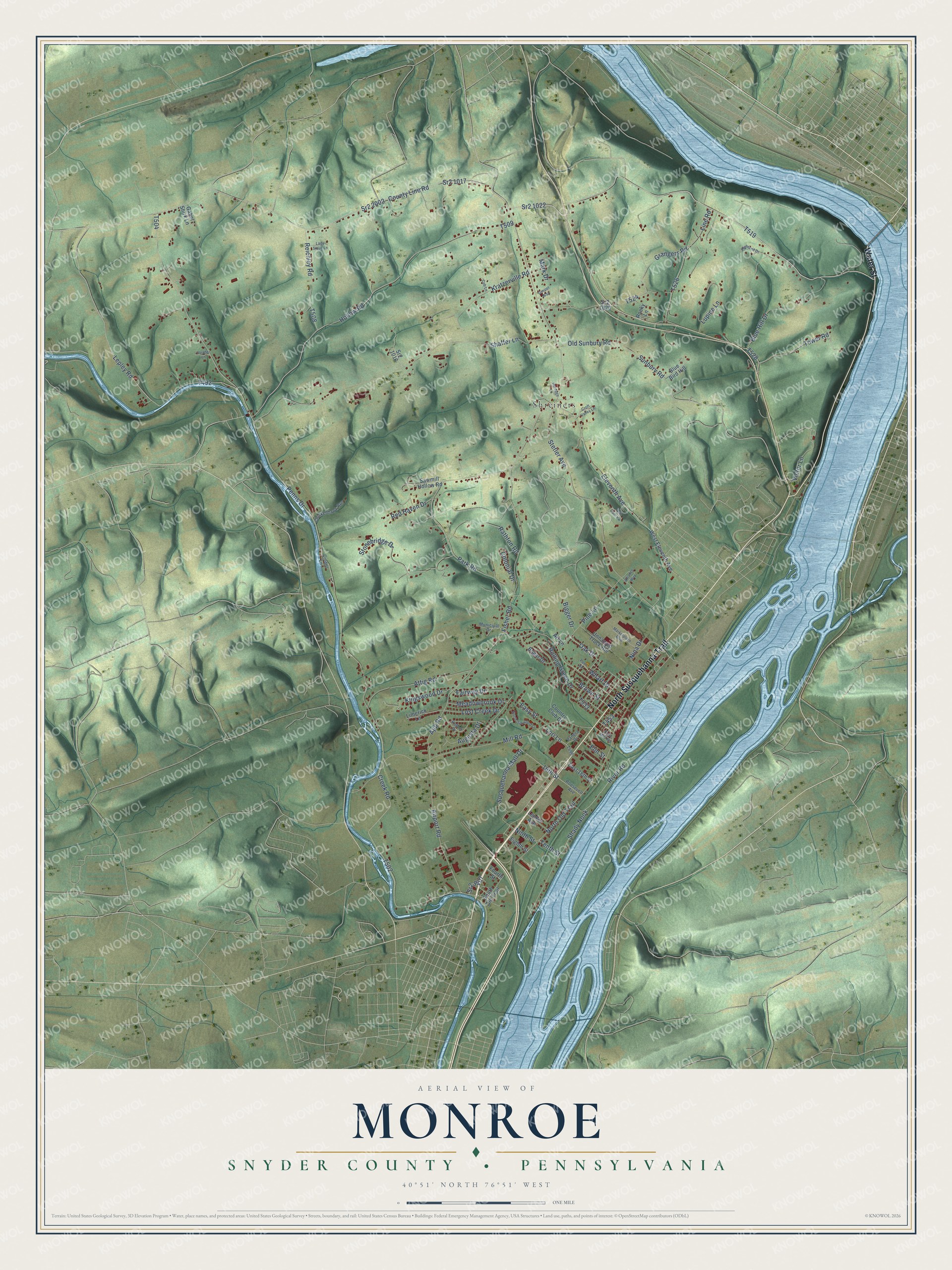
Street and place names on the Monroe, Snyder County, Pennsylvania map
These names are printed on the map of Monroe, Snyder County, Pennsylvania.
Places: Shreiners.
Streets and roads: North Susquehanna Trail, Water Street, County Line Road, Sr2 1022, Park Road, Airport Road, Stetler Avenue, Sr2 1017, App Road, Kratzerville Road, Penns Drive, Wharf Drive.
More street names, A to Z
16th Street, Alliance Way, Art Lane, Ash Dam Vw, Attig Road, Augusta Drive, Bigger Drive, Blue Bird Hill, Blue Hill Drive, Bogar Drive, Brown Street, Chickenhawk Run, Cinder Lane, Colonial Drive, Country Club Drive, Creek Road, Croft Valley Lane, Cub Lane, East 18th Street, East Mill Road, Easy Street, Eighth Street, Eleventh Avenue, Elm Street, Fairway Drive, Fisher Road, Fourth Street, Gabel Shirk Lane, Gospel Way, Grangers Road, Heritage Lane, Highland Drive, Hollow Road, Invader Lane, Kingswood Drive, Kohler Drive, Lady Sioux Lane, Lenker Avenue, Lepley Road, Limerick Lane, Line Road, Lori Lane, Lost Creek Drive, Lupine Lane, Mark Drive, Marketplace Boulevard, Meadowbrook Drive, Mill Road, Municipal Drive, Nina Drive, Ninth Street, North Oakwood Lane, North Old Trail, Oak Drive, Old Sunbury Road, Panera Drive, Penn Street, Pine Lane, Rathfon Road, Red Haven Drive, Reichley Road, River Road, Rocky Lane, Rolling Green Drive, Roosevelt Avenue, Sawmill Hollow Road, Shady Nook, Shaffer Lane, South Old Trail, Sr2 1016, Sr2 1020, Sr2 2002, Sr2 9407, Stonebridge Drive, Sunbury Road, Susquehanna Mall Drive, Tenth Street, Tower Road, Unnamed Truck Route, Victor Lane, West Eleventh Avenue.
See the Monroe, Snyder County, Pennsylvania map on a wall
The Monroe, Snyder County map as an 18 x 24 inch print in a black frame.

This beautifully detailed map of Monroe, Snyder County makes an attractive addition to your office, library, or den, and it can even be used to teach children the geography and history of the area. It also makes a great gift for anyone who grew up in Monroe or moved away. When you’re done exploring, click here to get your copy of the Monroe, Snyder County map.