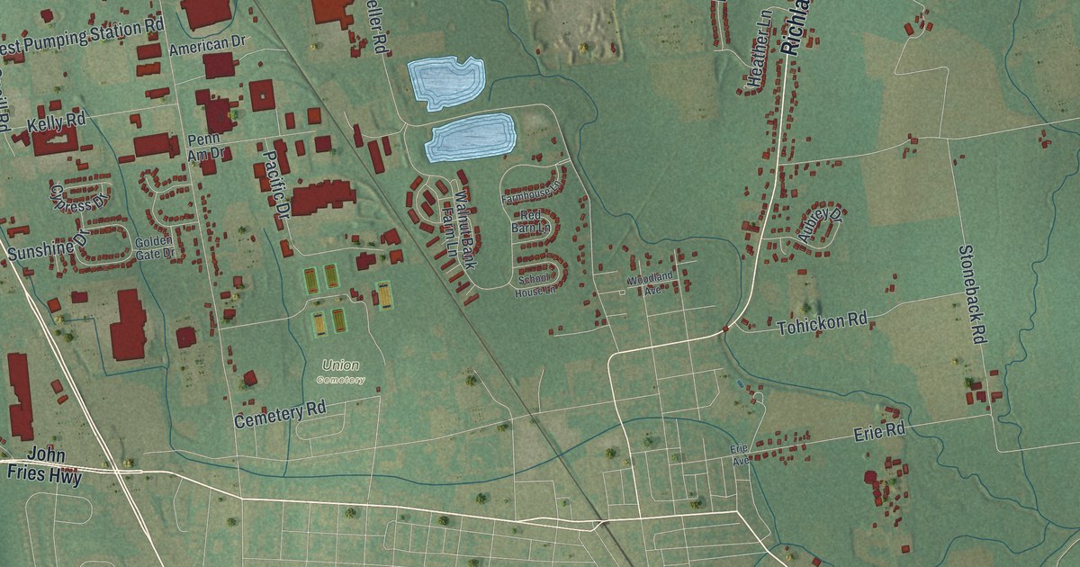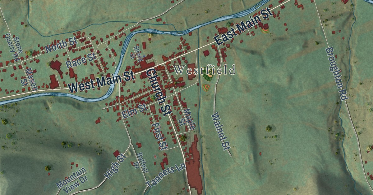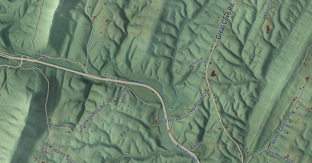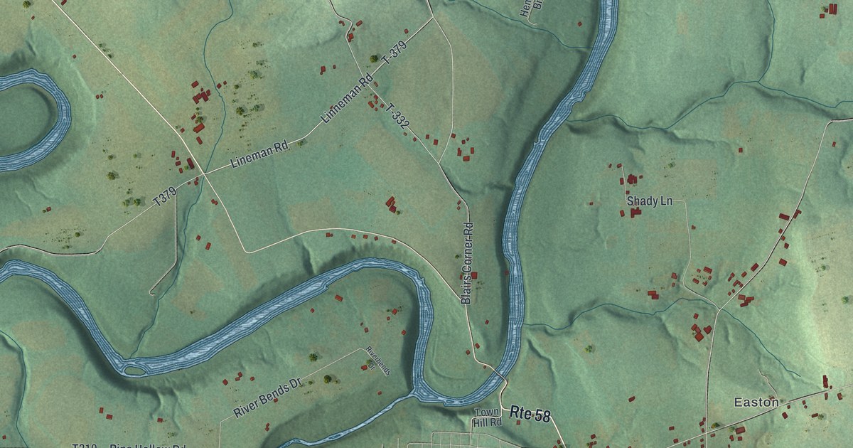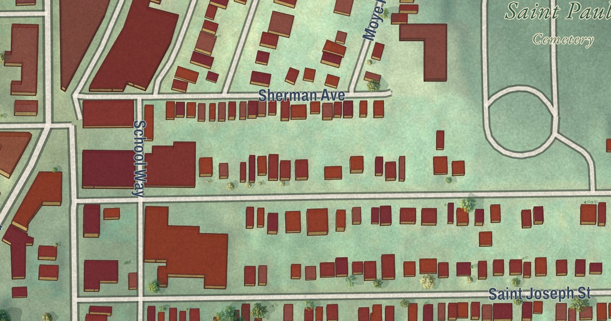
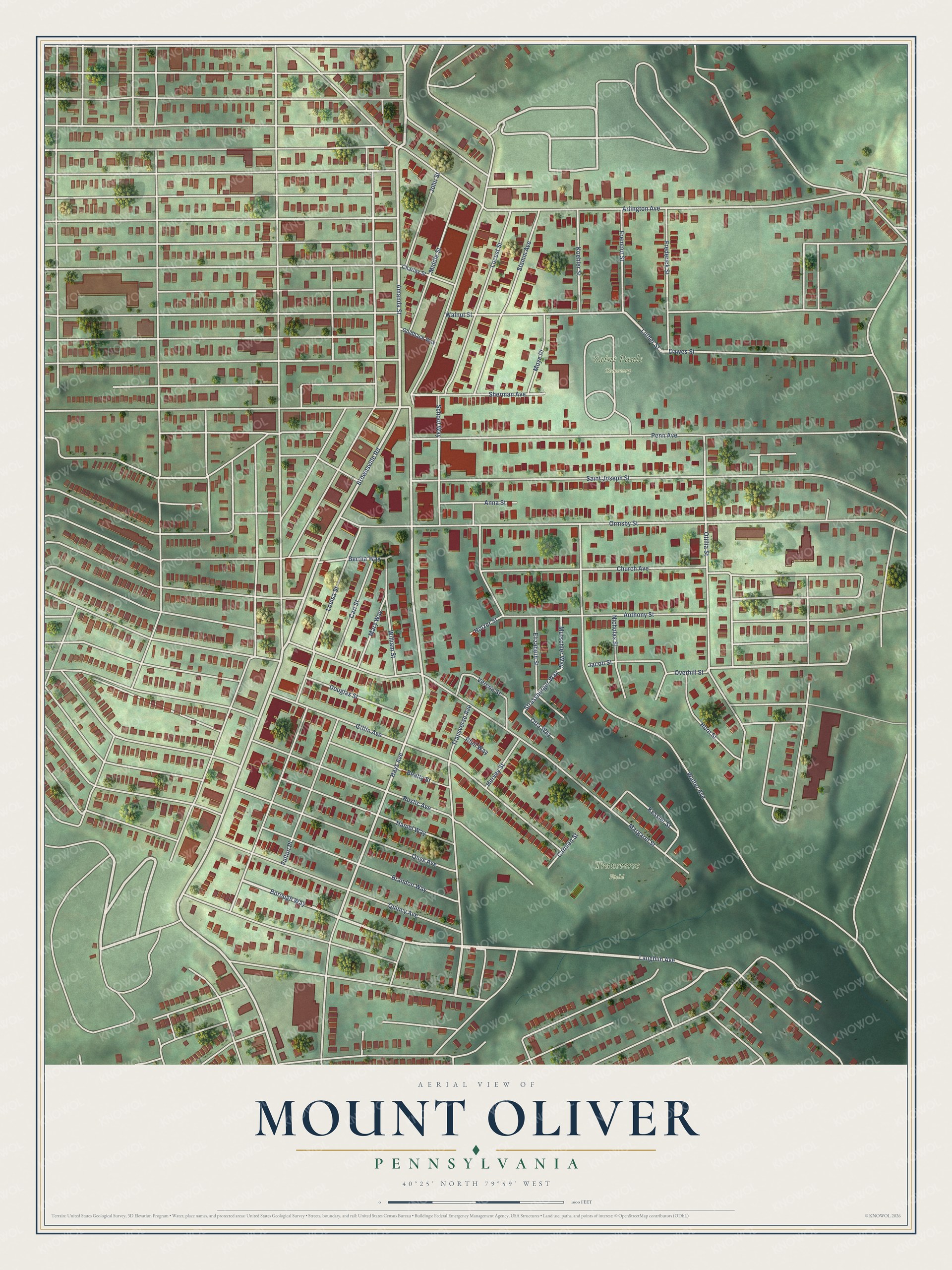
This beautifully detailed map of Mount Oliver, Pennsylvania was created in 2026 using aerial imagery combined with modern topographical, census, street and landmark data. It’s a one-of-a-kind view of Mount Oliver that combines accurate data with a vintage aesthetic. The map shows every building in its true location, many of the roads carry their names, and the shaded topographic relief shows the shape of the land.
Explore an aerial view of Mount Oliver, Pennsylvania
On the map you’ll find Transverse Field and Saint Pauls Cemetery, along with Borough Way, Laughlin Avenue, Luther Street, Hays Avenue, Amanda Street, Strassburger Way, Brownsville Road, Margaret Street, Louisa Street, Ormsby Street, and more. If you look closely you can even find your house accurately drawn in its correct location. Zoom in on the preview to look for yours.
Did you know this piece of Mount Oliver, Pennsylvania history?
From Abraham Howry Espenshade’s 1925 Pennsylvania Place Names: "The name Mount Oliver, given to the postoffice in 1872, was apparently not bestowed in honor of the Oliver family, now so prominently known in the Pittsburgh area."
Take a closer look at the Mount Oliver map
Street and place names on the Mount Oliver, Pennsylvania map
These names are printed on the map of Mount Oliver, Pennsylvania.
Places: Transverse Field and Saint Pauls Cemetery.
Streets and roads: Borough Way, Laughlin Avenue, Amanda Street, Brownsville Road, Luther Street, Hays Avenue, Strassburger Way, Margaret Street, Louisa Street, Ormsby Street, Walter Avenue, Otillia Street.
More street names, A to Z
Anna Street, Anthony Street, Arlington Avenue, Beatty Street, Bertha Way, Brandon Way, Carl Street, Carmen Street, Charles Street, Church Avenue, Dawes Street, Douglas Street, Elizabeth Street, Frederick Street, Fremont Street, Fulton Place, Giffin Avenue, Goldbach Way, Hamel Way, Hervey Street, Holzer Street, Horn Street, Jacob Street, John Street, Kessler Street, Koehler Street, Locust Street, Mary Way, Middle Street, Moye Place, Mutschler Way, Nicholas Street, Onyx Avenue, Otta Way, Overhill Street, Penn Avenue, Pfeil Way, Quincy Avenue, Rustic Avenue, Saint Joseph Street, School Way, Sherman Avenue, Stamm Avenue, Transverse Avenue, Verena Street, Walnut Street, William Street.
See the Mount Oliver, Pennsylvania map on a wall
The Mount Oliver map as an 18 x 24 inch print in a black frame.

This beautifully detailed map of Mount Oliver makes an attractive addition to your office, library, or den, and it can even be used to teach children the geography and history of the area. It also makes a great gift for anyone who grew up in Mount Oliver or moved away. When you’re done exploring, click here to get your copy of the Mount Oliver map.