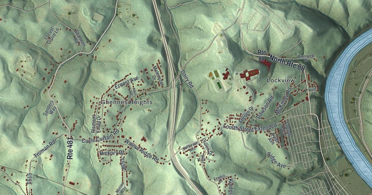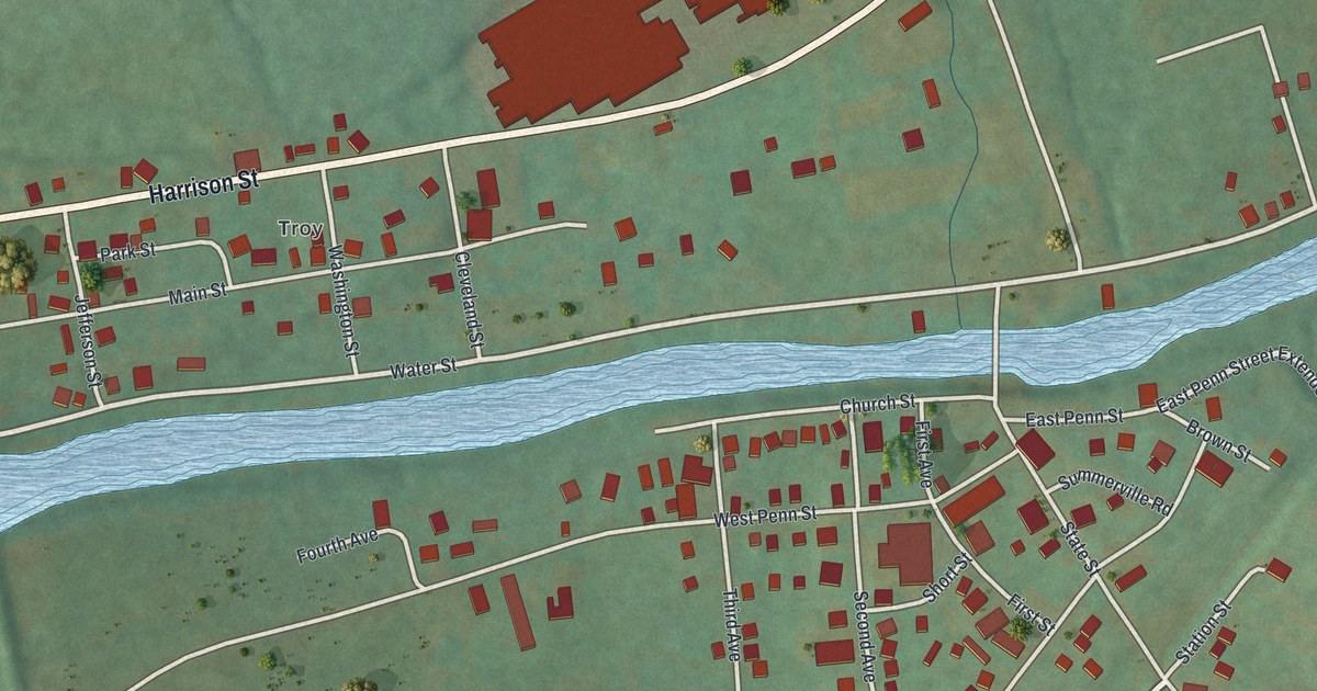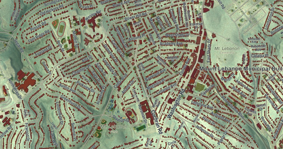
If you grew up in Mount Lebanon, or still drive past the Mount Lebanon Municipal Building on Washington Road, this map puts your hometown on the wall. It's a new aerial view of Mount Lebanon in Allegheny County, Pennsylvania, made with modern data and given a vintage look. Rows of small red buildings climb over green, shaded hills. The parks show up as open patches of green, and wooded valleys wrap around the town.
Washington Road and Mt. Lebanon Park
On this map you'll find Washington Road, Cochran Road, Beverly Road, the Mount Lebanon Municipal Building, Bird Park, McNeilly Park, Bower Hill Road, Castle Shannon Boulevard, McFarland Road, Academy Avenue, Pinoak Road, Scott Road, Robb Hollow Road, Cedar Boulevard, and more. Each red shape is a building, so zoom in on the preview and look for yours.
Mount Lebanon is a town built on hills, and the map makes that easy to see. The biggest red buildings crowd together along Washington Road. The Mount Lebanon Municipal Building stands right next to the open green of Mt. Lebanon Park. Mt. Lebanon Cemetery adds more green nearby. Away from the center, streets bend around the hillsides, and houses line up along them in long, curved rows. Between the neighborhoods, the ground drops into deep green hollows. Two printed names say it plainly: Robb Hollow Road and Sleepy Hollow Road. The streets and the town line come from the Census Bureau, and the shape of the hills comes from USGS elevation data.
Street names from Osage Road to Clemson Drive
Read the street names closely and you'll spot some patterns. Many carry tree names, like Pinoak Road, Cedar Boulevard, Hemlock Street, Catalpa Place, Magnolia Place and Willow Drive. Others share names with Native American nations, like Osage Road, Seneca Drive, Mohawk Drive, Iroquois Drive and Seminole Drive. A few share names with colleges, like Clemson Drive, Cornell Place, Vanderbilt Drive and Haverford Circle. Finding your own street among them is part of the fun.
Bird Park and McNeilly Park
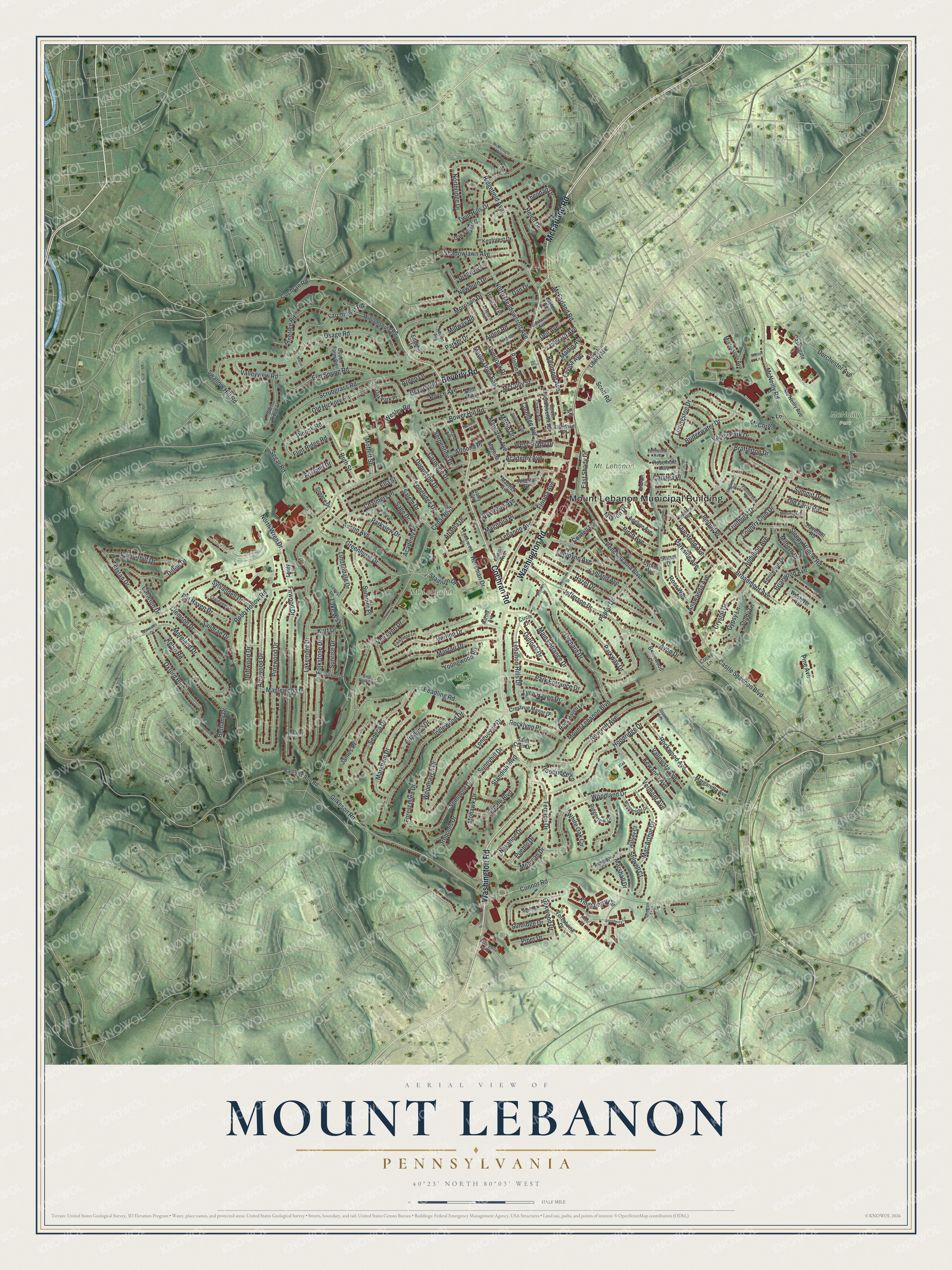
Bird Park and McNeilly Park are printed on it too. Created by KNOWOL in 2026, this print shows Mount Lebanon from above in soft greens, with shaded hills, pale streets and small red buildings. The title panel at the bottom reads "Aerial View of Mount Lebanon, Pennsylvania" with the coordinates 40°23' North 80°03' West.
It suits a living room, a home office or a front hall. It's a good gift for someone who grew up near Mt. Lebanon Park, or for a family that moved away and still thinks about Washington Road. Open the preview and find your own street. See sizes and frames for the Mount Lebanon map.