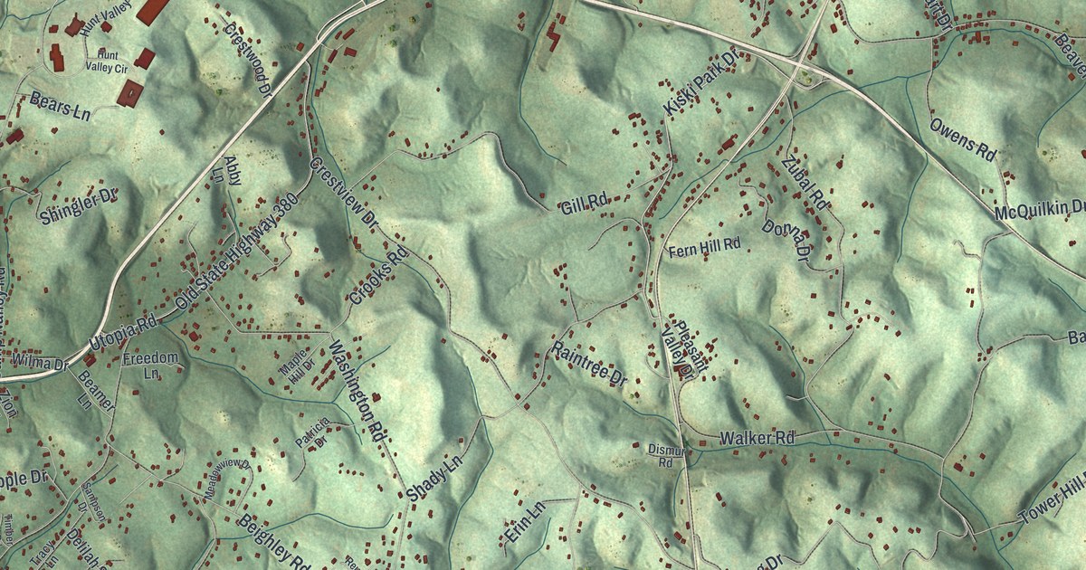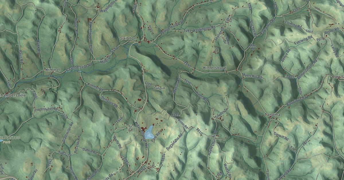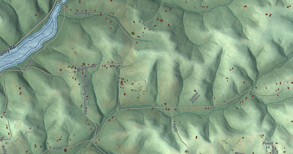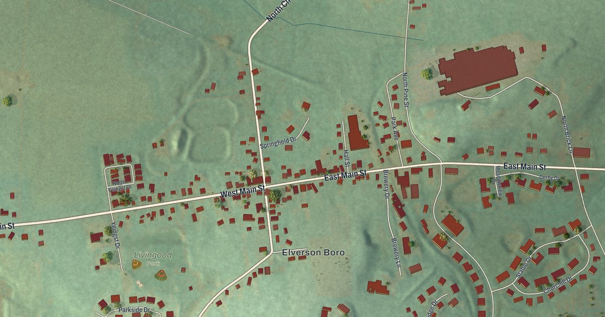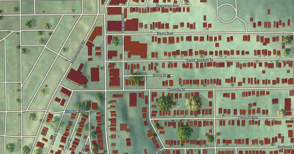
If you grew up along Brownsville Road or still have family on the streets off Penn Avenue, this map is for you. It's a modern aerial view of Mount Oliver in Allegheny County, Pennsylvania, made from modern data and given a vintage look. Red buildings pack the small borough, with Saint Pauls Cemetery near the top and Transverse Field near the bottom. Green hillsides and a grid of city streets wrap around it.
Brownsville Road, Penn Avenue and Saint Joseph Street
On this map you'll find Brownsville Road, Penn Avenue, Saint Joseph Street, Walnut Street, Arlington Avenue, Church Avenue, Ormsby Street, Hays Avenue, Margaret Street, Anthony Street, Giffin Avenue, Saint Pauls Cemetery, Transverse Field, and more. Each red shape is a building, so zoom in on the preview and look for yours.
St. Joseph's Church, dedicated in 1870
One of Mount Oliver's oldest stories is its church. The 1889 History of Allegheny County says St. Joseph's German Catholic Church was dedicated on November 20, 1870. Its cornerstone was laid on October 4, 1868. The members first belonged to St. Michael's on the South Side. The book calls St. Michael's the largest German congregation in western Pennsylvania. Father Luke organized the new parish.
The church site was secured before the Civil War, and the book says it was fortified to protect the city. Mount Oliver was still a village just outside Pittsburgh then, and most of St. Joseph's worshippers came up from the city. The book says people here worked in Pittsburgh and got there by street railways and inclined planes. The same book says Frederick Hampe became the first postmaster in February 1874. Today the same saint's name is printed on Saint Joseph Street, near the center of the map, just below Penn Avenue.
Brownsville Road and the Streets of Home
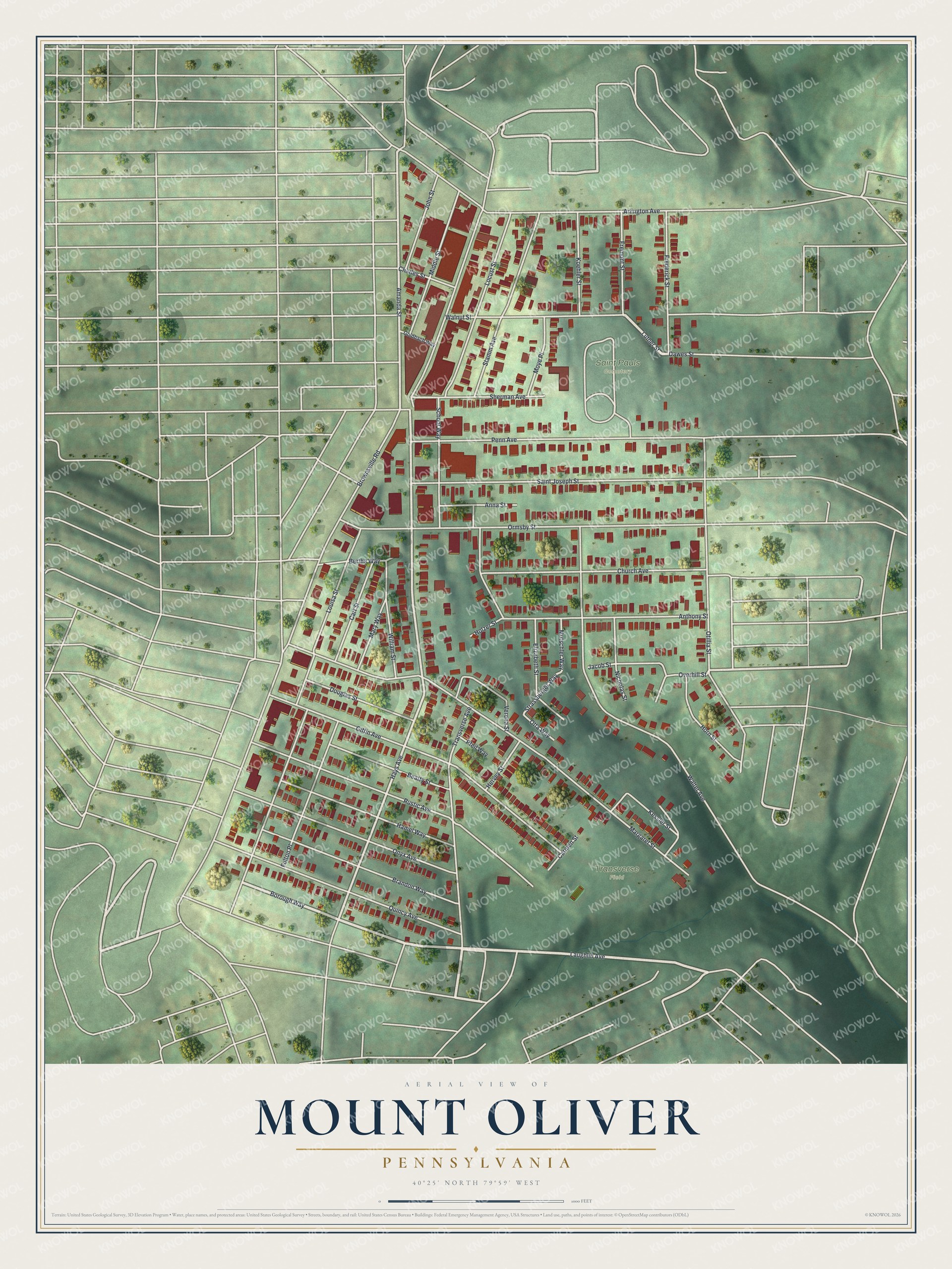
Created by KNOWOL in 2026, this print shows Mount Oliver in soft sage greens, with its buildings in deep red and the hills shaded around them. The cream title panel reads AERIAL VIEW OF, MOUNT OLIVER, PENNSYLVANIA, with 40°25' NORTH 79°59' WEST below.
It fits a living room, a kitchen or a front hall. It's a good gift for someone who shopped along Brownsville Road, played at Transverse Field, or moved away and would like the hill on their wall. Open the preview and find the street you called home. See sizes and frames for the Mount Oliver map.