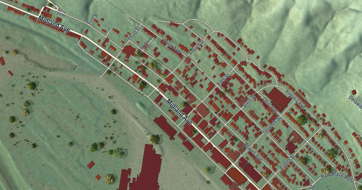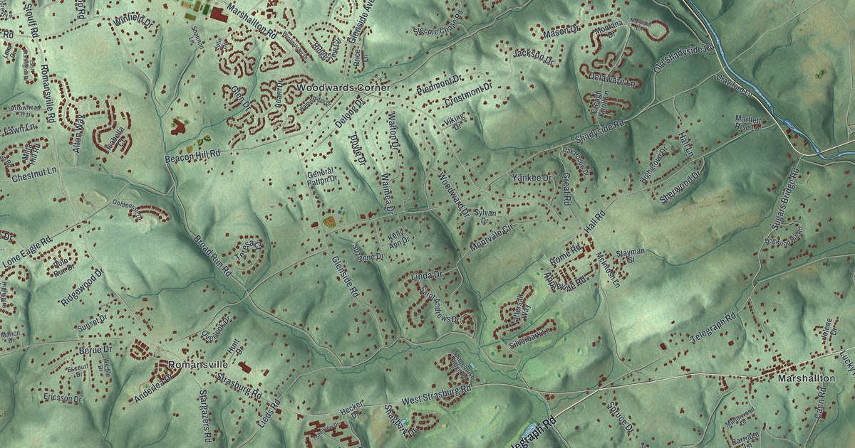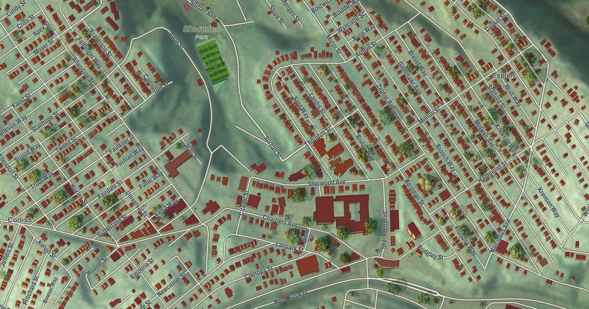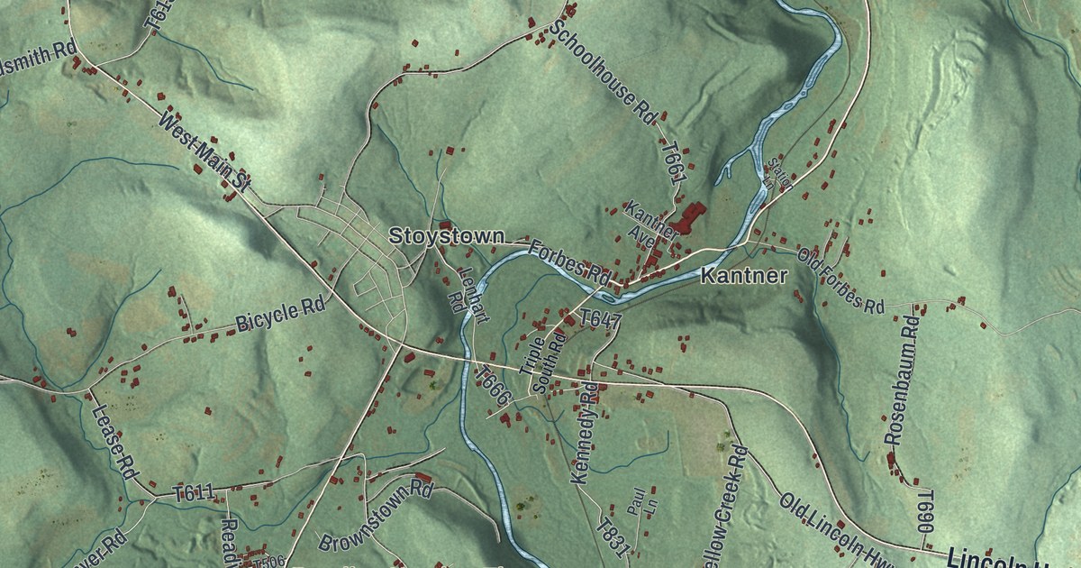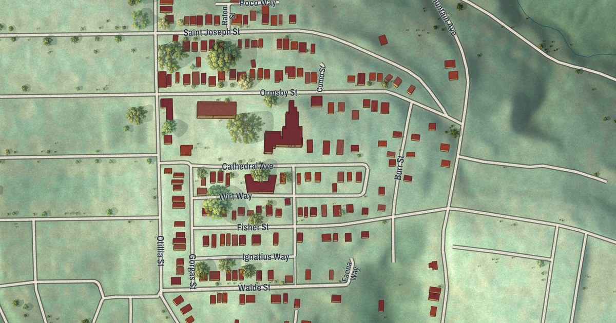
If you grew up on Ormsby Street or Saint Joseph Street, this map puts your block on the wall. It's a modern, vintage-look aerial view of Mt. Oliver in Allegheny County, Pennsylvania, made in 2026. The red buildings sit close together on a hilltop. Green hills and deep, shaded valleys spread out all around them.
Ormsby Street, Saint Joseph Street and more
On this map you'll find Ormsby Street, Saint Joseph Street, Cathedral Avenue, Parkwood Road, Mountain Avenue, Rectenwald Street, Otillia Street, Fisher Street, Walde Street, McManus Street, Gorgas Street, Burr Street, Ignatius Way, and more. Each red shape is a building, so zoom in on the preview and look for yours.
Saint Joseph Street, Saint Lucas Street and Ignatius Way
Saint Joseph Street is printed on this map. So are Saint Lucas Street and Ignatius Way. Small lanes like Wirt Way, Bede Way and Poco Way show up too. More than 2,500 buildings are drawn here, packed close on the hill. The name Mt. Oliver already shows up in the History of Allegheny County, a book printed in 1889.
Keep Mt. Oliver close
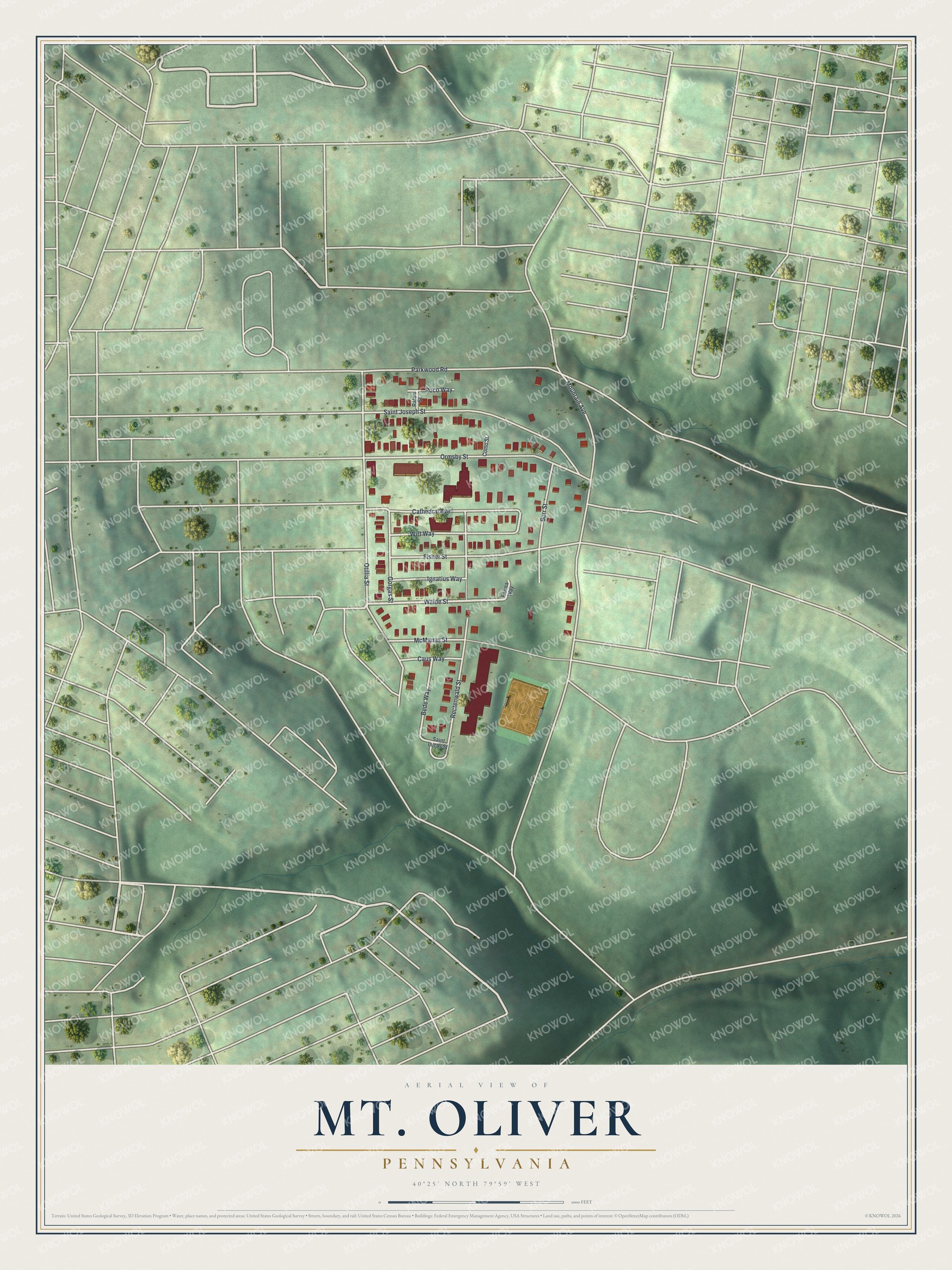
Created by KNOWOL in 2026, the print shows Mt. Oliver from above in soft greens, with shaded hills, pale streets and red buildings. The title panel reads Aerial View of Mt. Oliver, Pennsylvania, with 40°25' North 79°59' West printed below.
It fits a kitchen, a front hall or a den. It's a good gift for anyone who grew up near Saint Joseph Street and has since moved away. Open the preview and find the street you know best. See sizes and frames for the Mt. Oliver map.