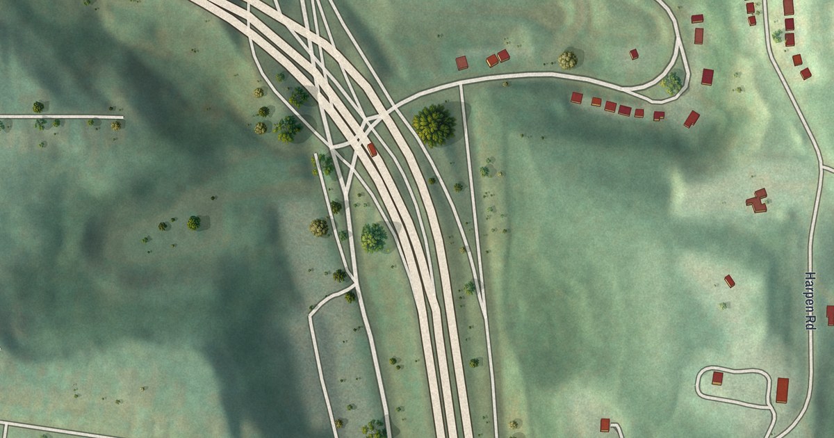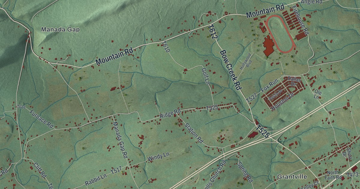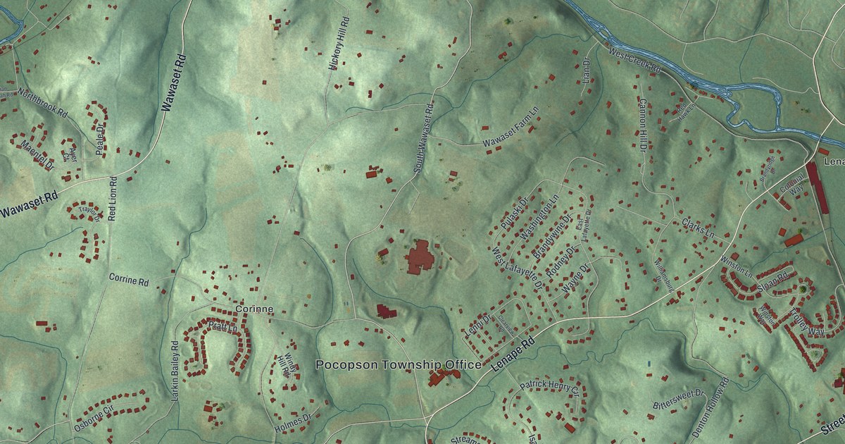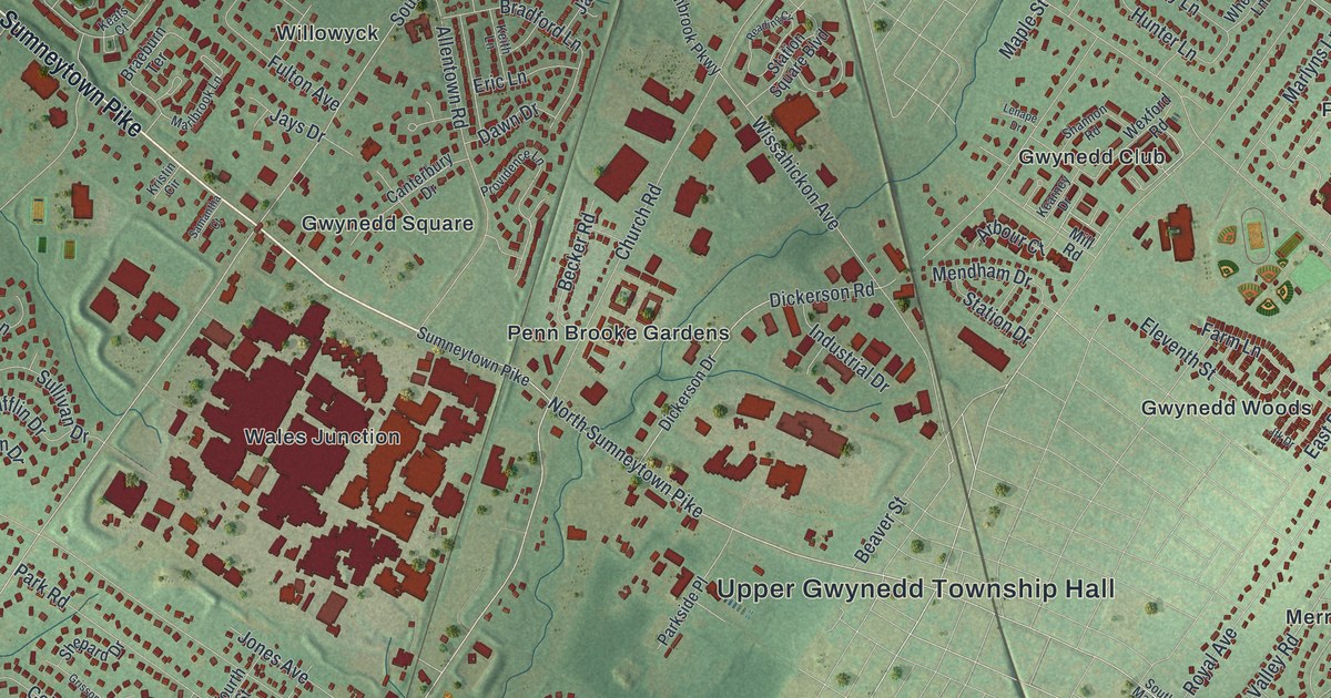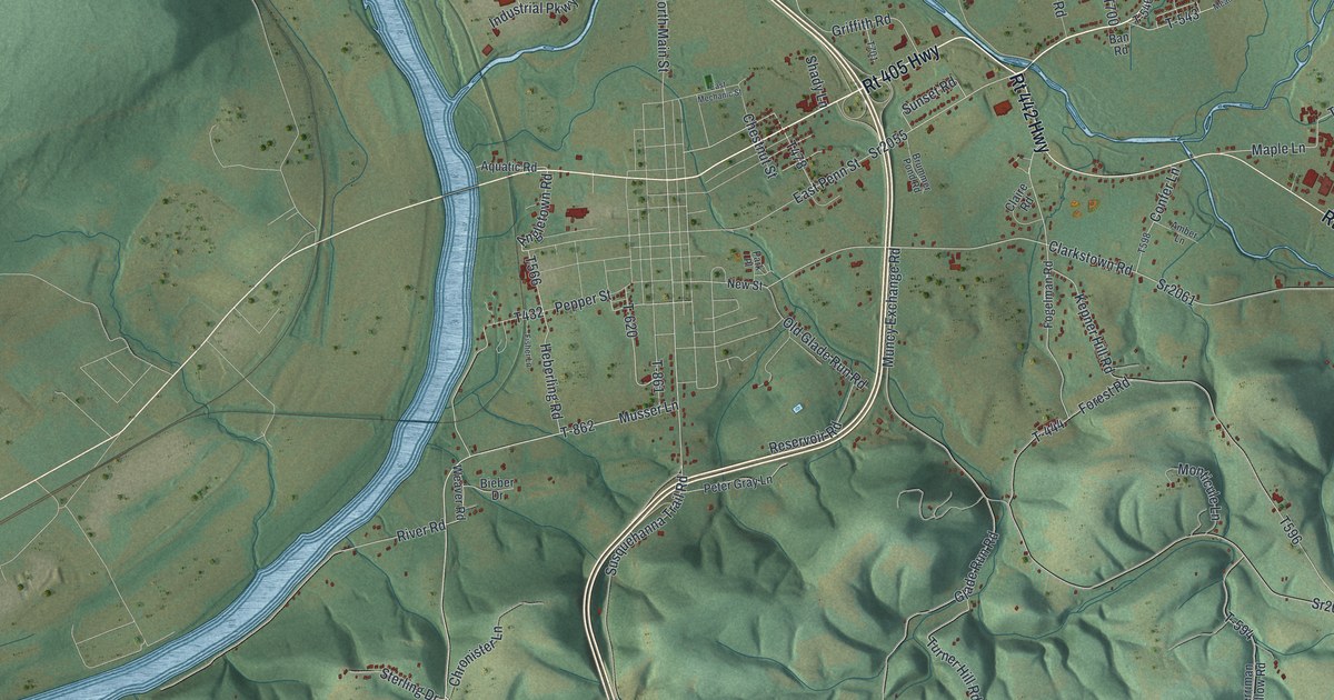
If you grew up on a farm along Muncy Creek, or your family goes back to Clarkstown or Lime Bluff, this map is for you. It's a modern aerial view of Muncy Creek Township in Lycoming County, Pennsylvania, made from modern data and given a vintage feel. A wide blue river makes a big bend around a mountain on the left side. The creek winds through the middle, past clusters of small red buildings. Rows of wooded hills fill the bottom of the sheet.
Muncy Creek and the Old Canal at Port Penn
On this map you'll find North Main Street, East Penn Street, Rt 405 Highway, Rt 442 Highway, Susquehanna Trail Road, John Brady Drive, River Road, Clarkstown Road, Lime Bluff Road, Glade Run Road, Turkey Bottom Road, Peach Orchard Road, Clarkstown, Lime Bluff, and more. Each red shape is a building, so zoom in on the preview and look for yours.
The 1892 History of Lycoming County says the story of this part of the valley starts here. The first settlements were made inside the township's borders. Later came the canal. In 1828 the state built the Muncy dam across the river for the Pennsylvania Canal. People at the time called it a fine piece of engineering. It was built of crib-work filled with stone.
Port Penn and the Packet Boats
A towpath ran four miles around the base of the Muncy Hills, from the dam up to Port Penn. Port Penn was a small place on the river bank. Every packet boat stopped at its hotel. The book says it was a lively place up to 1855, with two or three boat yards. Then the railroad came, and the book says it destroyed all this. The dam stayed, but its chute was hard on the raftsmen. For years it was a terror to them, the book says.
Near Port Penn stood a great elm where Indian chiefs met to talk about their people. Several Indian paths split off from that spot. On the map, look at the wide bend on the left. The old book says the river here sweeps around the east end of Bald Eagle Mountain.
Clarkstown, Lime Bluff and the Muncy Hills
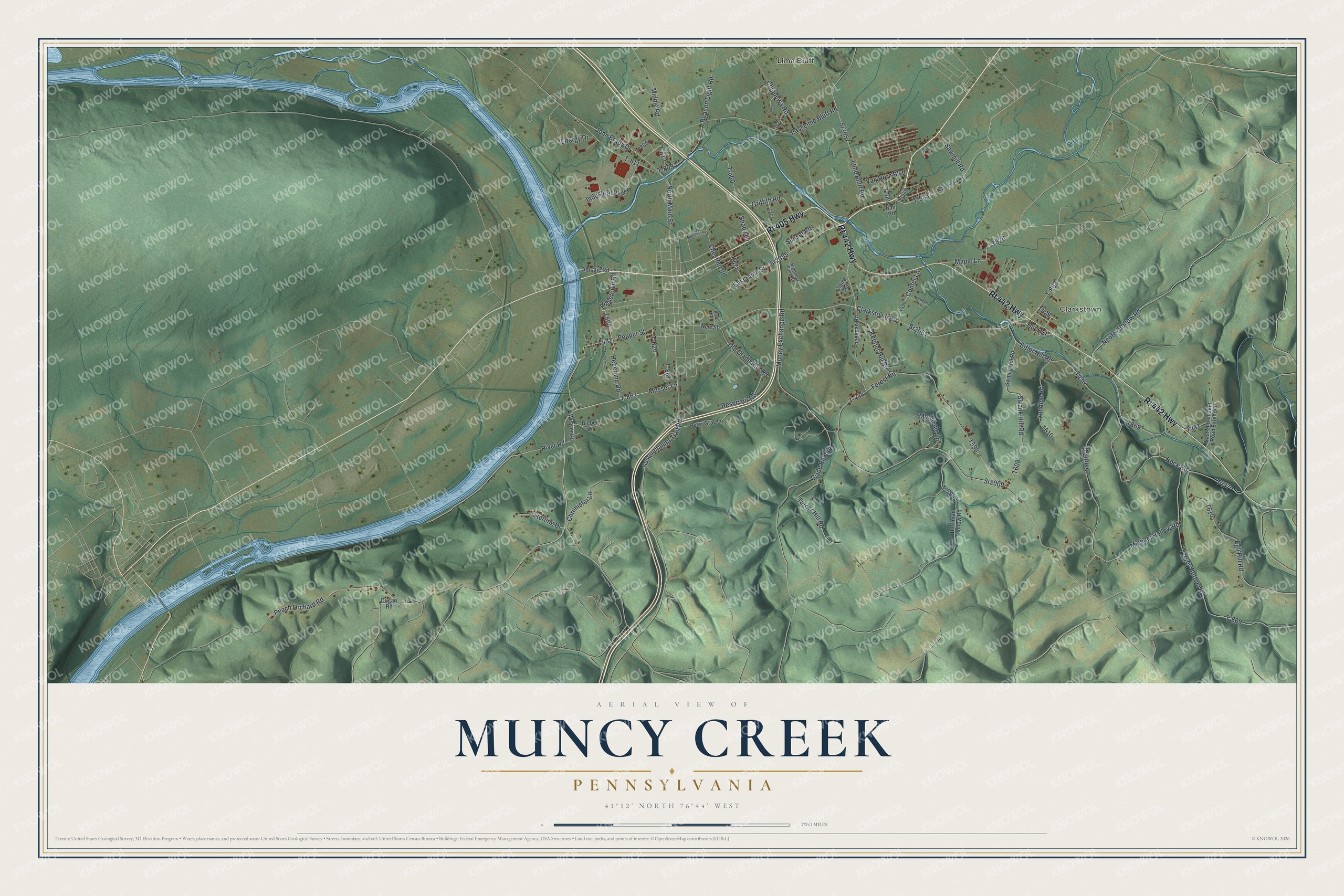
Created by KNOWOL in 2026. The print shows green hills in soft shaded relief, a blue river and creek, and small red buildings, framed by a cream border. The title panel reads AERIAL VIEW OF MUNCY CREEK, PENNSYLVANIA, with 41°12' NORTH 76°44' WEST below it.
It suits a living room, a den, a farmhouse kitchen or a home office. It's a good gift for someone who grew up near Clarkstown or out on Lime Bluff Road and now lives far away. Open the preview and find your own road. See sizes and frames for the Muncy Creek map.