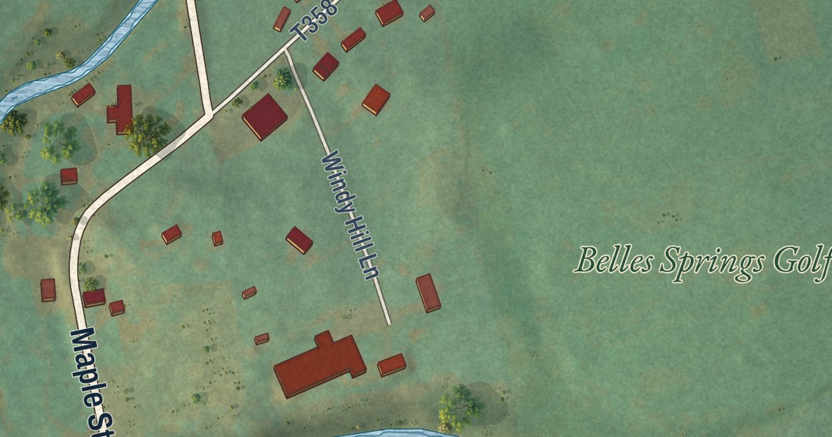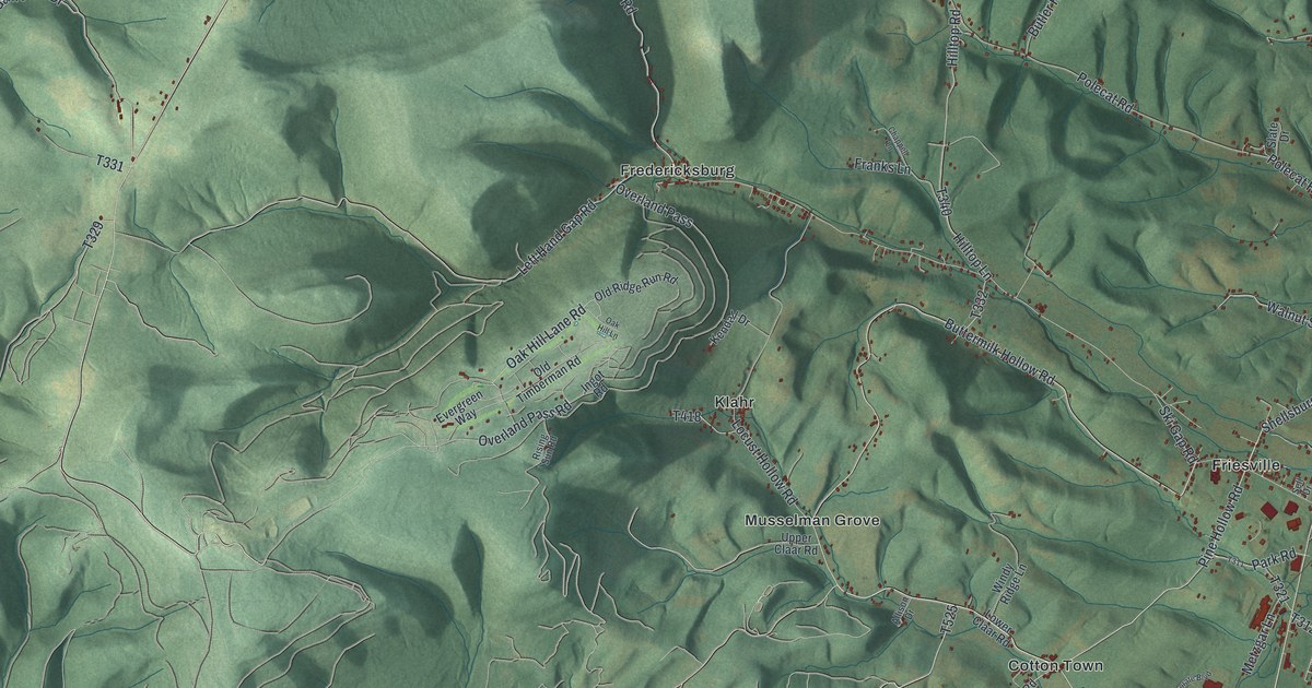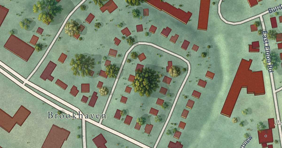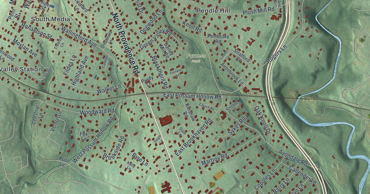
This beautifully detailed map of Nether Providence, Pennsylvania was created in 2026 using aerial imagery combined with modern topographical, census, street and landmark data. It’s a one-of-a-kind view of Nether Providence that combines accurate data with a vintage aesthetic. The map shows every building in its true location, many of the roads carry their names, and the shaded topographic relief shows the shape of the land.
Explore an aerial view of Nether Providence, Pennsylvania
On the map you’ll find Putman Village, Garden City, Lapidea, Furness Park, Smedley Park, Avendale, Bowling Green, Crum Creek Manor, Moylan-Rose Valley Station, Pendle Hill, Pine Ridge, Providence, and more. If you look closely you can even find your house accurately drawn in its correct location. Zoom in on the preview to look for yours.
Take a closer look at the Nether Providence map
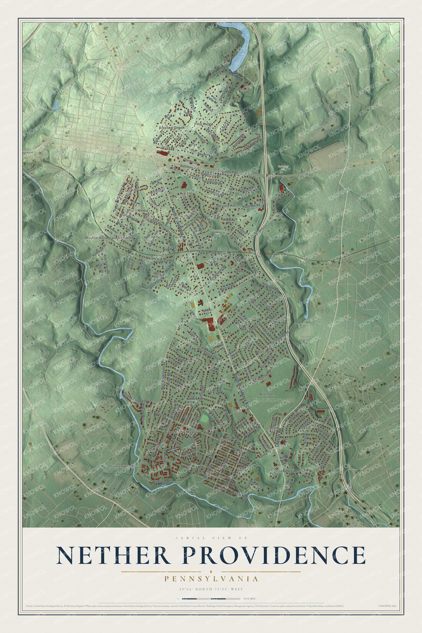
Street and place names on the Nether Providence, Pennsylvania map
These names are printed on the map of Nether Providence, Pennsylvania.
Places: Putman Village, Garden City, Lapidea, Furness Park, Smedley Park, Avendale, Bowling Green, Crum Creek Manor, Moylan-Rose Valley Station, Pendle Hill, Pine Ridge, Providence, South Media, Wallingford, Waterville and The Springhaven Club.
Streets and roads: South Providence Road, Chester Road, North Providence Road, Rose Valley Road, Bullens Lane, West Brookhaven Road, West Rose Valley Road, Chesley Drive, Sharlow Drive, Avondale Road, Plush Mill Road, Baltimore Pike.
More street names, A to Z
Ash Road, Austin Court, Avonbrook Lane, Baltimore Avenue, Barley Mill Road, Barry Lane, Beatty Road, Beech Road, Beechwood Road, Bent Road, Berkshire Drive, Bickmore Drive, Blackthorn Road, Brent Drive, Briarwood Road, Brookside Road, Byre Lane, Callender Lane, Cameron Drive, Canterbury Drive, Carleton Road, Cedar Lane, Cedar Road, Chestnut Lane, Chestnut Parkway, Christian Lane, Church Road, Coles Hill Road, Colonial Drive, Cooper Drive, Copples Lane, Country Club Lane, Creekside Lane, Crestview Circle, Cricket Lane, Crum Creek Road, Dale Lane, Denver Court, Devon Lane, Dogwood Lane, Dundee Mills Lane, East Brookhaven Road, East Country Club Lane, East Possum Hollow Road, East Rose Valley Road, East Wiltshire Drive, Elm Road, Engle Drive, Fairfield Drive, Fairhill Road, Fildes Lane, Fox Lane, Furness Lane, Garnet Lane, Georgetown Road, Glendale Road, Glen Road, Glenwood Lane, Golfview Road, Governors Drive, Grandview Road, Green Valley Road, Harvey Road, Hastings Avenue, Hawthorne Road, Heathdale Lane, Hemlock Road, Henry Lane, Hickory Lane, Hidden Valley Road, Highland Avenue, Hoyt Place, Irving Lane, Irving Road, Karen Lane, Kelly Lane, Kent Road, Kershaw Road, Kincaid Mills Lane, Knoll Road, Lake Avenue, Larkin Lane, Laurie Lane, Leiper Street, Leslie Lane, Linden Lane, Locust Lane, Lombardy Drive, Luckie Lane, Mallard Mill Run, Manchester Avenue, Manchester Road, Maple Road, Marie Drive, Marlyn Lane, Martin Lane, Martroy Road, Meadow Lane, Medbury Road, Media Parkway, Meredith Drive, Michaels Lane, Moore Road, Morgan Lane, Morris Lane, Moylan Avenue, Mulberry Lane, New Jersey Avenue, Oakcrest Lane, Oak Knoll Drive, Oak Valley Road, Osborne Lane, Palmers Lane, Parkridge Drive, Pembroke Road, Penn Street, Pennsylvania Avenue, Penn Valley Road, Pine Ridge Road, Pine Road, Pleasant Hill Road, Pool Lane, Prichard Lane, Pritchard Lane, Purdy Lane, Putnam Boulevard, Quaint Road, Ridge Lane, Ridgewood Road, Ridley Drive, Rogers Lane, Ronaldson Street, Ryanard Road, Sackville Lane, School Lane, Scott Circle, Scott Lane, Sharpless Lane, Sheffield Road, Shepherds Lane, Single Lane, Sloan Lane, Smithfield Road, Somerset Place, Springlawn Drive, Sproul Lane, Stanford Drive, Stratford Road, Surrey Lane, Surrey Road, Sycamore Lane, Sykes Road, Tara Place, Treetop Lane, Turner Road, Vernon Lane, Vernon Street, Walker Lane, Wallingford Avenue, Walnut Road, Washington Avenue, Waterford Way, Waterville Road, West Country Club Lane, Westminster Drive, West Possum Hollow Road, Wilder Road, Willow Road, Winding Lane, Windsor Place, Wisteria Lane, Woodcrest Road, Woodward Road.
See the Nether Providence, Pennsylvania map on a wall
The Nether Providence map as an 18 x 24 inch print in a black frame.

This beautifully detailed map of Nether Providence makes an attractive addition to your office, library, or den, and it can even be used to teach children the geography and history of the area. It also makes a great gift for anyone who grew up in Nether Providence or moved away. When you’re done exploring, click here to get your copy of the Nether Providence map.