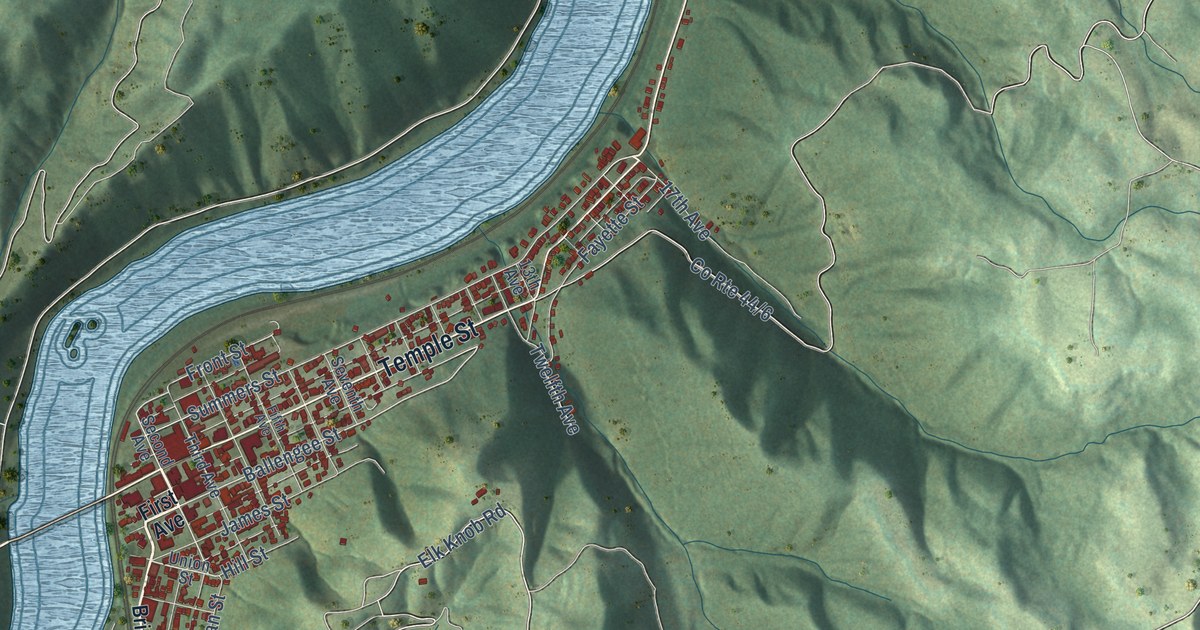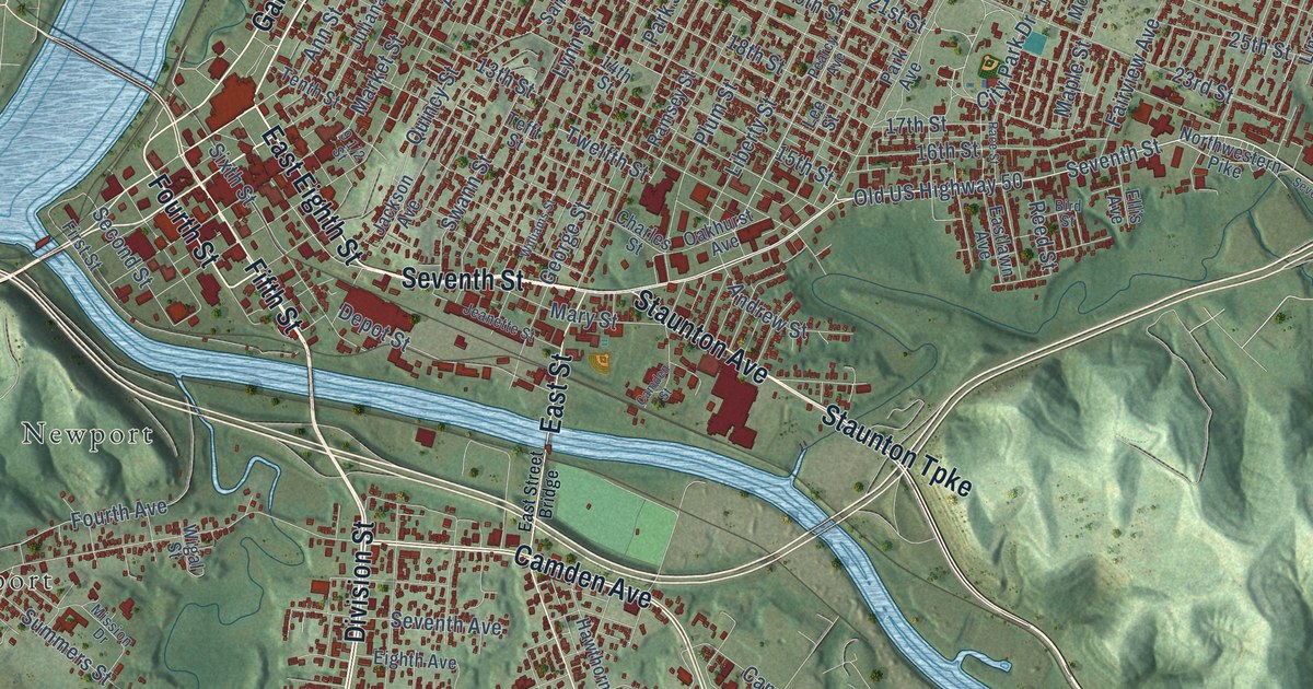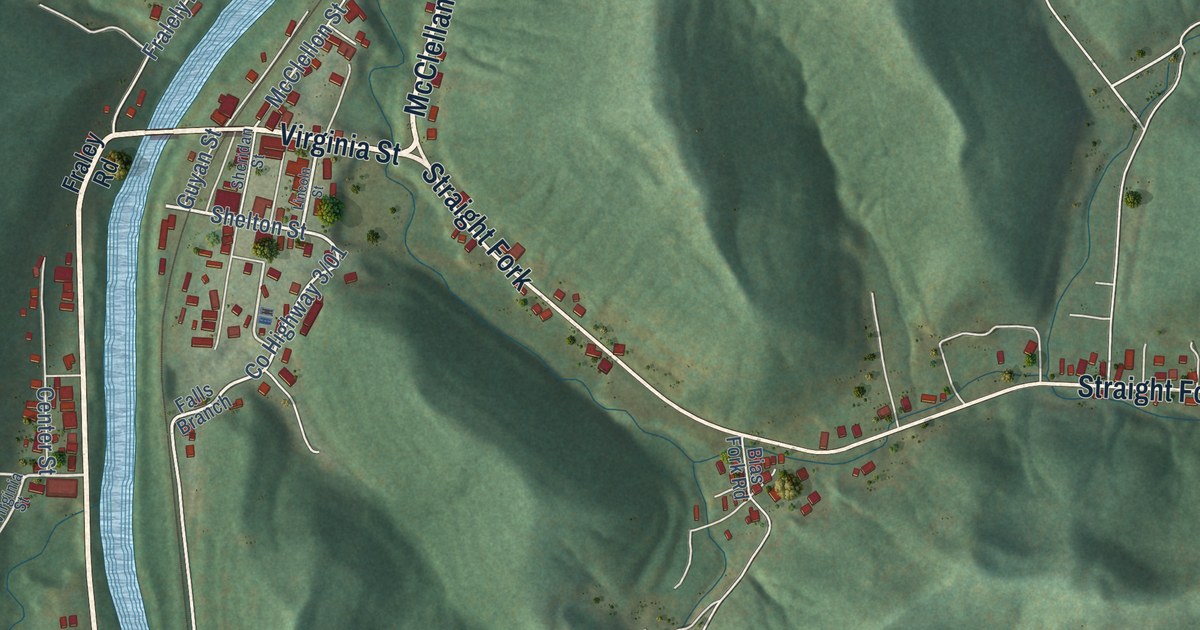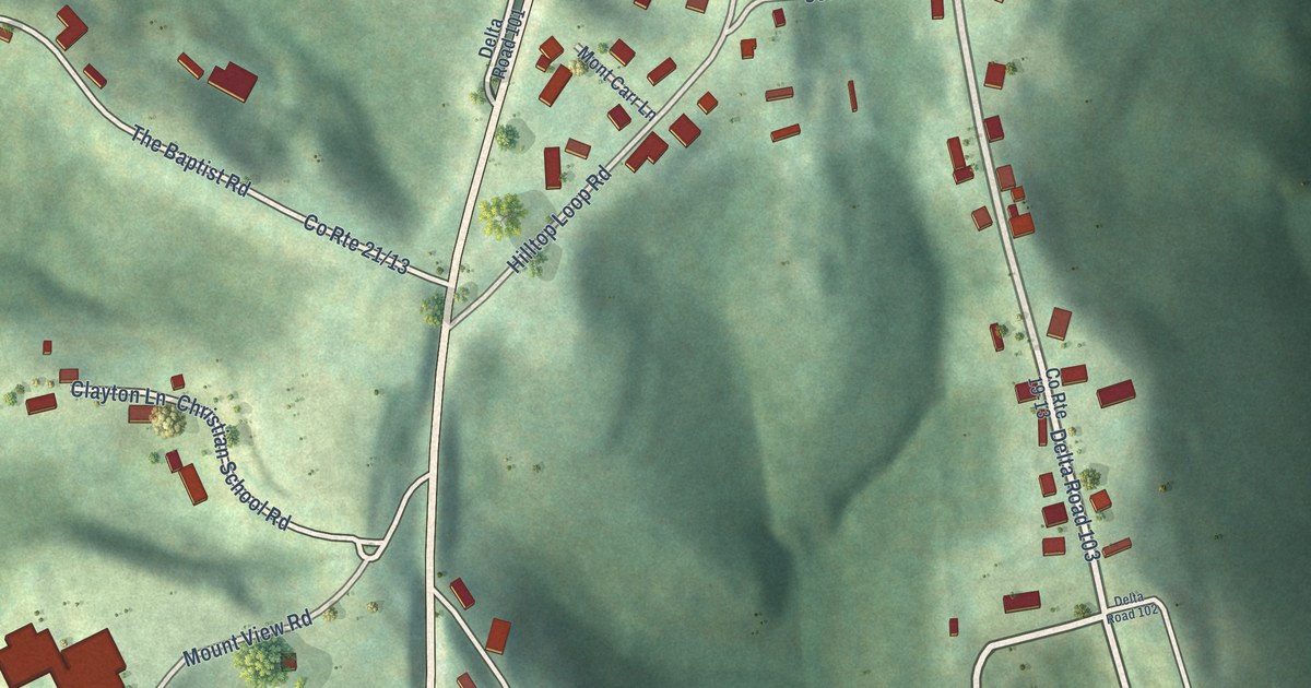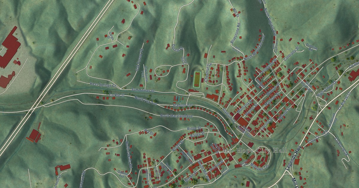
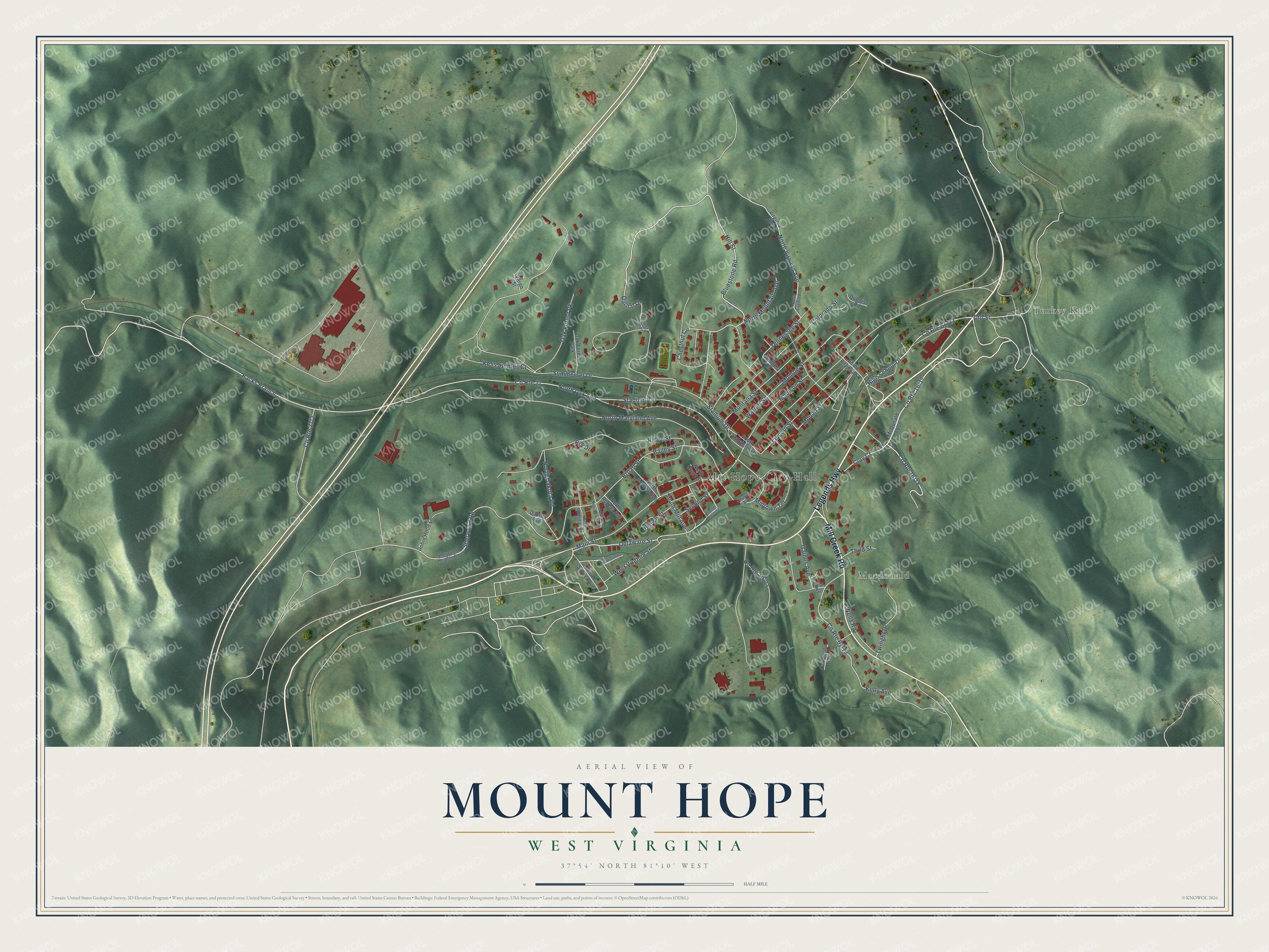
This beautifully detailed map of Mount Hope, West Virginia was created in 2026 using aerial imagery combined with modern topographical, census, street and landmark data. It’s a one-of-a-kind view of Mount Hope that combines accurate data with a vintage aesthetic. The map shows every building in its true location, many of the roads carry their names, and the shaded topographic relief shows the shape of the land.
Explore an aerial view of Mount Hope, West Virginia
On the map you’ll find Turkey Knob, Macdonald, and Packs Branch, along with Legends Highway, Mill Creek Road, Delaware Street, High School Drive, Clay Court, Bluestone Road, Cto Street, Hill Street, Chestnut Circle, and more. If you look closely you can even find your house accurately drawn in its correct location. Zoom in on the preview to look for yours.
Did you know this about Mount Hope, West Virginia?
From the History of Fayette County West Virginia: "The judge suggested that inasmuch as the school house stood near the head of this fruitful valley, it could very appropriately be called the Mount Hope school. The place has ever since been known by that name."
Take a closer look at the Mount Hope map
Street and place names on the Mount Hope, West Virginia map
These names are printed on the map of Mount Hope, West Virginia.
Places: Mt. Hope City Hall, Turkey Knob, Macdonald and Oak Forest Park.
Streets and roads: Legends Highway, Mill Creek Road, Delaware Street, High School Drive, Clay Court, Bluestone Road, Cto Street, Packs Branch, Hill Street, Chestnut Circle, County Route 27, North Mountain Avenue.
More street names, A to Z
Bailey Street, Broad Street, Brown Street, Carolina Street, Church Avenue, Colorado Street, Dakota Avenue, Darnal Drive, Delta Road 92, Duboise Road, First Street, Forest Hiill Street, Gaines Avenue, Hodges Lane, Kelly Avenue, Kess Springs Court, Lincoln Street, Madison Street, Main Street, McDonald Loop, Midtown Terrace, Monroe Street, Montana Street, Mound Street, North Court Street, North Dakota Road, North Grimmett Avenue, North Maryland Avenue, North Michigan Avenue, North Mosley Avenue, North Pax Avenue, North Rogers Avenue, North Virginia Avenue, Oak Forest Pk, Oak Leaf Trail, Prv Drive, Ridge Street, Robin Hood Lane, Second Street, Sherwood Heights Road, Sherwood Road, South Court Street, South Mill Avenue, South Raleigh Avenue, South Snyder Avenue, South Virginia Street, Stadium Drive, Stadium Terrace, Summerset Drive, Tennessee Street, Third Street, Twilight Drive, Vargo Street, Virginia Avenue, Warner Street, Wells Road, West Virginia Street.
See the Mount Hope, West Virginia map on a wall
The Mount Hope map as an 18 x 24 inch print in a black frame.

This beautifully detailed map of Mount Hope makes an attractive addition to your office, library, or den, and it can even be used to teach children the geography and history of the area. It also makes a great gift for anyone with Mount Hope roots. When you’re done exploring, click here to get your copy of the Mount Hope map.