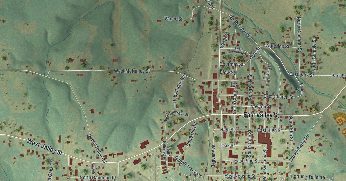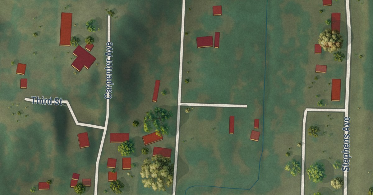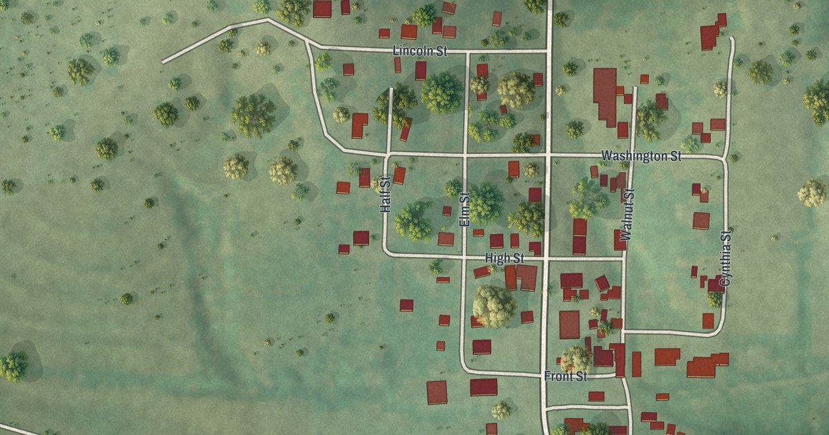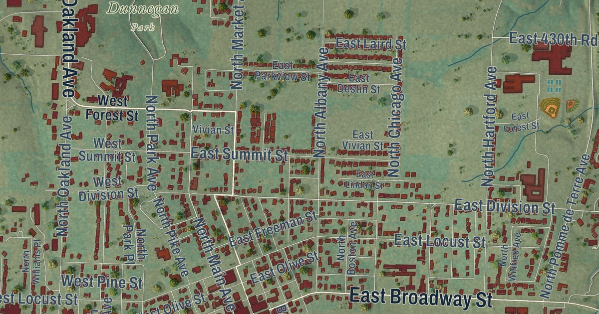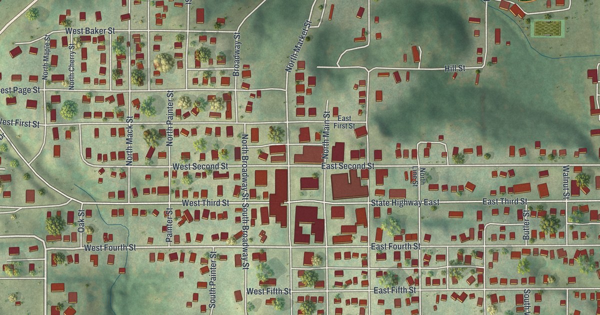
This beautifully detailed map of Milan, Missouri was created in 2026 using aerial imagery combined with modern topographical, census, street and landmark data. It’s a one-of-a-kind view of Milan that combines accurate data with a vintage aesthetic. The map shows every building in its true location, many of the roads carry their names, and the shaded topographic relief shows the shape of the land.
Explore an aerial view of Milan, Missouri
On the map you’ll find American Legion Park, along with South Pearl Street, North Pearl Street, South Cherry Street, West Fourth Street, Mineral Lane, East Seventh Street, South Line Street, North Market Street, South State Street, East Grand Avenue, East Second Street, and more. If you look closely you can even find your house accurately drawn in its correct location. Zoom in on the preview to look for yours.
Did you know this piece of Milan, Missouri history?
From the 1888 History of Adair, Sullivan, Putnam and Schuyler Counties, Missouri: "The first brick building erected in Milan was the court-house, which was the only brick building here until after the war. The only brick residences so far built are those of Edward Ash, erected in 1869, and of John P. Butler, erected in 1878."
Take a closer look at the Milan map
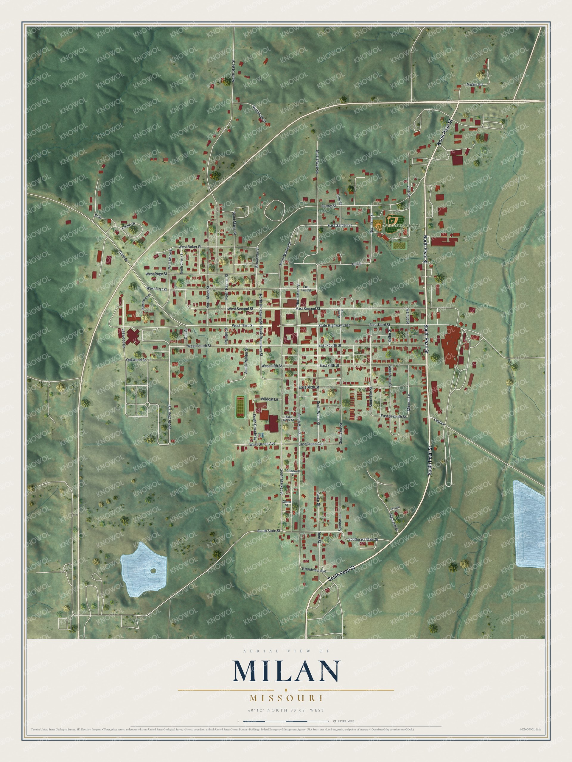
Street and place names on the Milan, Missouri map
These names are printed on the map of Milan, Missouri.
Places: American Legion Park.
Streets and roads: South Pearl Street, North Pearl Street, South Cherry Street, West Fourth Street, Mineral Lane, East Seventh Street, South Line Street, North Market Street, South State Street, East Grand Avenue, East Second Street, Circle Drive.
More street names, A to Z
Broadway Street, Butler Street, Cedar Street, East Fifth Street, East First Street, East Fourth Street, East Garden Street, East Rock Street, East Sixth Street, East Third Street, El Street, Glenn Street, Glidewell Street, Grandview Avenue, Hawthorne Drive, Highland Street, Hill Street, Lagoon, Leewood Drive, Line Street, North Broadway Street, North Cherry Street, North Elm Street, Northfield Drive, North Line Street, North Mack Street, North Main Street, North Maple Street, North Painter Street, North State Street, North Water Street, Oak Street, Oakwood Street, Painter Street, Parker Road, Reynolds Lane, Rice Street, Saint Marys Street, South Broadway, South Broadway Street, Southeast State Street, South Elm Street, South Main Street, South Market Street, South Painter Street, South Vine Street, South Water Street, Spring Street, State Highway East, Sunrise Lane, Third Street, Vine Street, Walnut Street, West Baker Street, West Fifth Street, West First Street, West Grand Avenue, West Page Street, West Second Street, West Third Street, Wildcat Lane.
See the Milan, Missouri map on a wall
The Milan map as an 18 x 24 inch print in a black frame.

This beautifully detailed map of Milan makes an attractive addition to your office, library, or den, and it can even be used to teach children the geography and history of the area. It also makes a great gift for someone who left Milan and still calls it home. When you’re done exploring, click here to get your copy of the Milan map.