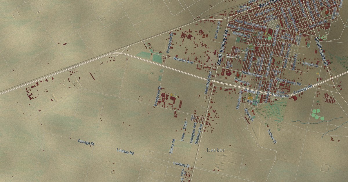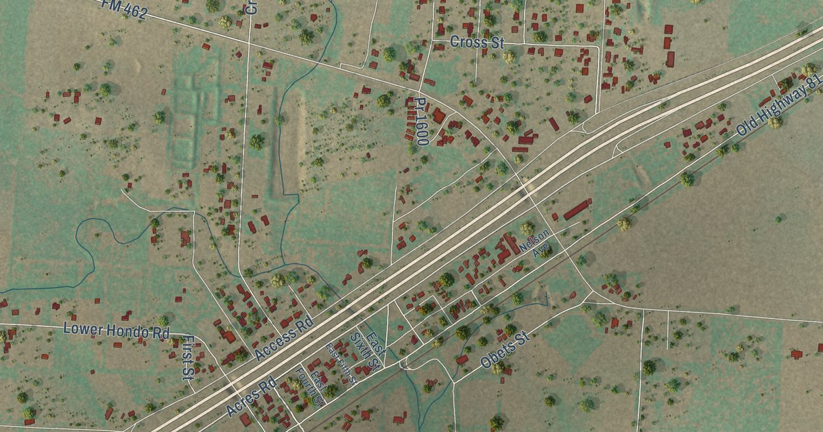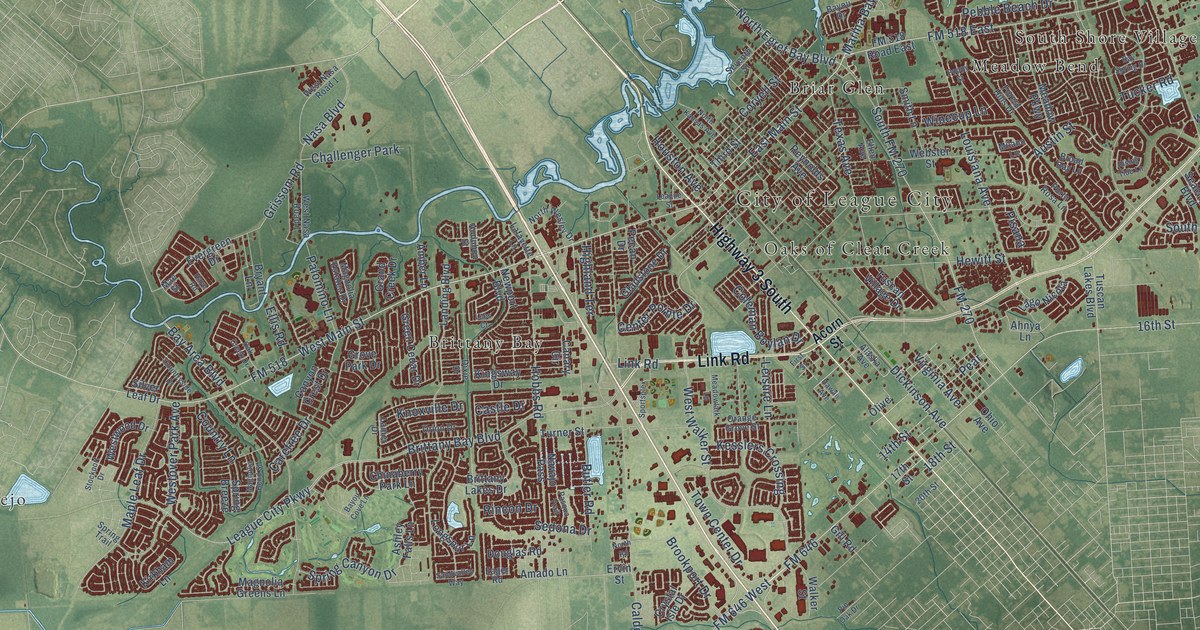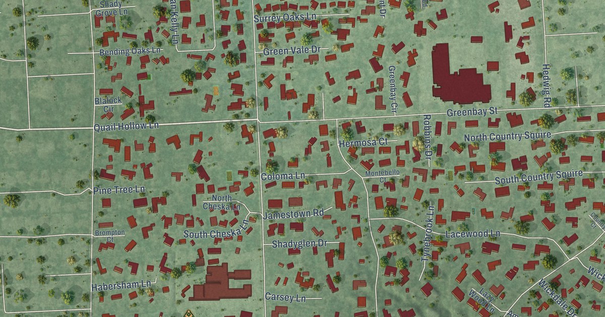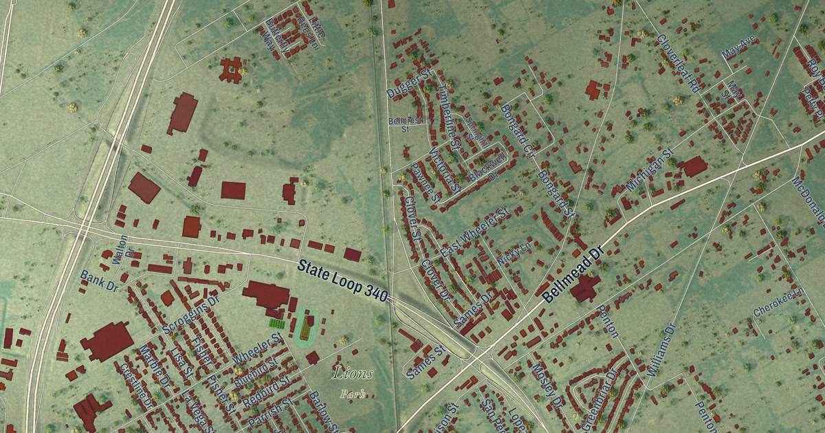
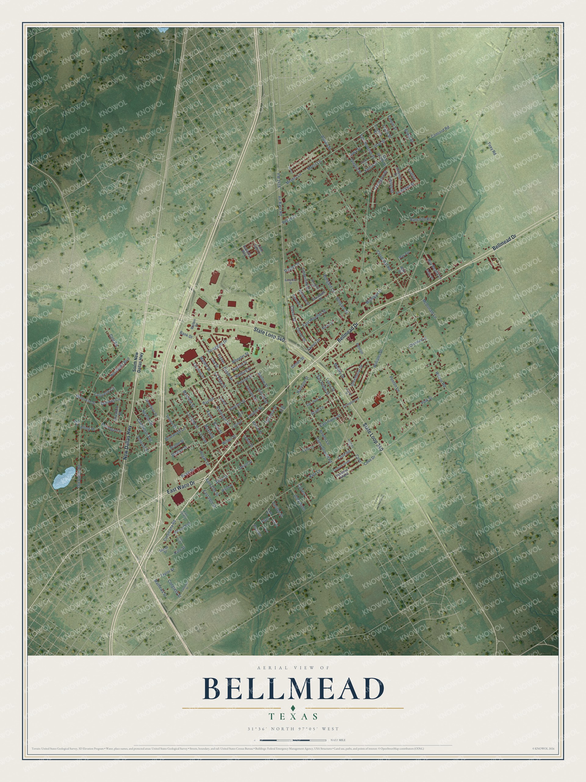
This beautifully detailed map of Bellmead, Texas was created in 2026 using aerial imagery combined with modern topographical, census, street and landmark data. It’s a one-of-a-kind view of Bellmead that combines accurate data with a vintage aesthetic. The map shows every building in its true location, many of the roads carry their names, and the shaded topographic relief shows the shape of the land.
Explore an aerial view of Bellmead, Texas
On the map you’ll find Lions Park and Parrish, along with Bellmead Drive, New Dallas Highway, State Loop 340, East Waco Drive, Air Base Road, Corsicana Road, Williams Drive, Concord Road, Harrison Street, Parrish Street, and more. If you look closely you can even find your house accurately drawn in its correct location. Zoom in on the preview to look for yours.
Did you know this piece of Bellmead, Texas history?
From the Handbook of Texas: "The first school was called Bellmead in honor of Belle Meade Farms, a prominent horse farm in Tennessee."
Take a closer look at the Bellmead map
Street and place names on the Bellmead, Texas map
These names are printed on the map of Bellmead, Texas.
Places: Lions Park.
Streets and roads: Bellmead Drive, New Dallas Highway, State Loop 340, East Waco Drive, Air Base Road, Corsicana Road, Parrish, Williams Drive, Concord Road, Harrison Street, Parrish Street, FM 2418.
More street names, A to Z
Alaska Street, Allen Street, Alma Rohn, Ashleman Street, Bank Drive, Barlow Street, Beale Street, Beauregard Street, Behrens Circle, Bellcrest Street, Bethard Boulevard, Blackwell Drive, Bluebird Street, Bongard Circle, Bongard Street, Bowen Lane, Bowie Street, Brame Street, Briarwood Lane, Bronco, Butterfly Way, Calvery, Cambelton Avenue, Camp Ground Road, Carla, Carla Street, Cherokee Lane, Clover Drive, Cloverleaf Road, Clover Street, Cole Road, Compton Lane, Congress Street, Cottonbelt Street, Cove, Cove Drive, Cove Road, Crestline Drive, Crockett Street, Dugger Street, East 21st Street, East 23rd Street, East 26th Street, East 27th Street, East Harris Street, East Wheeler Street, Elling Drive, Fannin Street, Fenton, Fisher, Fisher Street, Florida Street, Flyer, Gilliam Street, Gram Lane, Greenbriar Drive, Hand Drive, Hannah Drive, Harris Street, Hatcher Street, Hogan Lane, Holmes Street, Ida Street, Inmon Street, Iowa Street, January Street, Kane, Kane Street, Kansas Street, Kate Street, Katy Lane, La Clede, La Clede Street, Lafayette Circle, Larry Lane, Latimer, Latimer Street, La Vega, La Vega Street, Lewis, Lewis Street, Lexington Street, Liberty Street, Limited Street, Lisa Street, Little Rees Lane, Lopez Street, Luanne, Marble Drive, Mathews Street, Maxfield, Maxfield Street, May Avenue, May Street, McDonald Lane, Meyers Lane, Michigan Street, Montrose Street, Mosley Drive, Myers Lane, Nealton Street, Nicky Lane, Old Dallas Road, Oregon Street, Paradise Island, Pawnee Street, Pecan Lane, Penton, Penton Lane, Petty Place, Polk Street, Preston, Ranchito Road, Redbird Street, Reese Street, Roy Beatty Lane, Sames Drive, Sames Street, Sam Houston Street, San Jacinto Street, San Jose Street, San Pedro Street, Saratoga Drive, Scroggins Drive, Shelton Street, Somerset Street, South New Dallas Highway, Springhill Street, Strickland Street, Taylor Street, Timberline Street, Tirey Road, Torrance Street, Travis Street, Treasure Island, Union Street, Utah Street, Victoria Street, Walton Drive, Webb Street, Wheeler Street, Wilder Street, Wilson Road, Woodbine Street, Woodland Boulevard, Yorktown Street.
See the Bellmead, Texas map on a wall
The Bellmead map as an 18 x 24 inch print in a black frame.

This beautifully detailed map of Bellmead makes an attractive addition to your office, library, or den, and it can even be used to teach children the geography and history of the area. It also makes a great gift for anyone with Bellmead roots. When you’re done exploring, click here to get your copy of the Bellmead map.