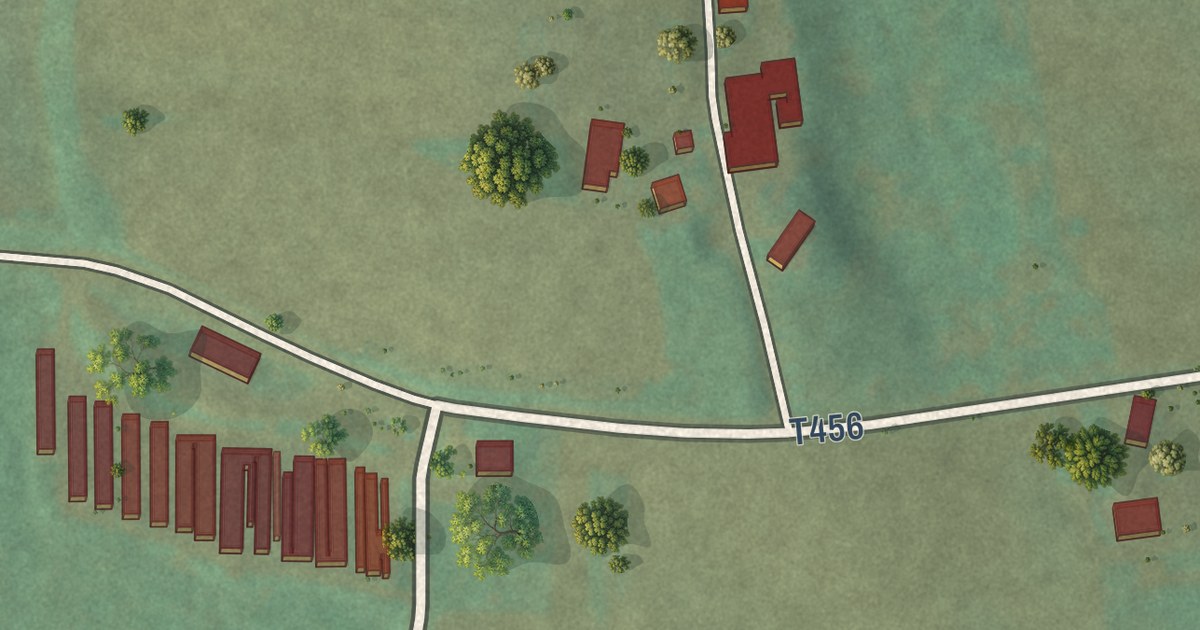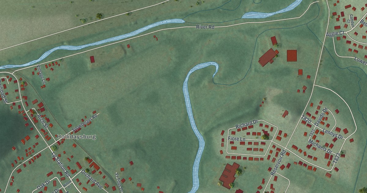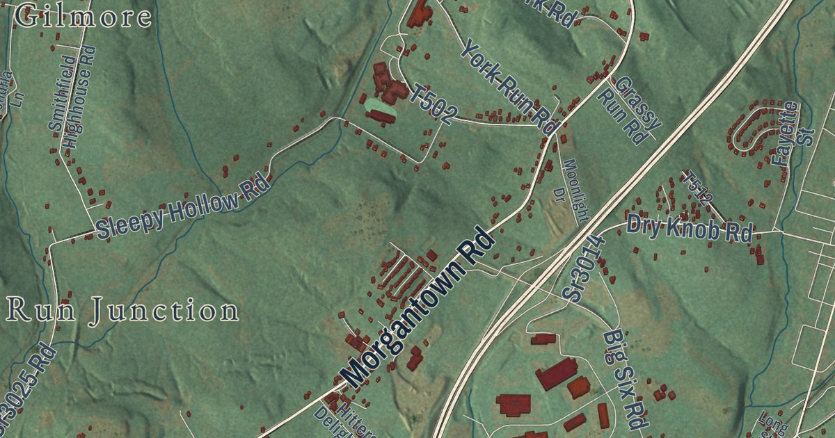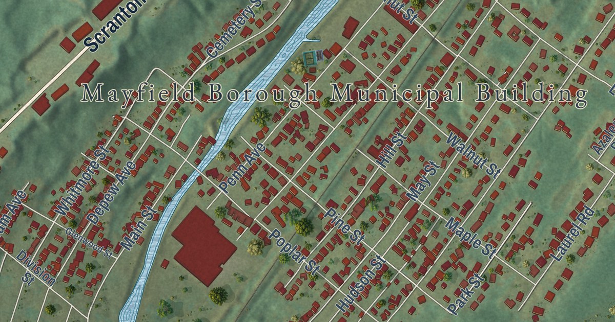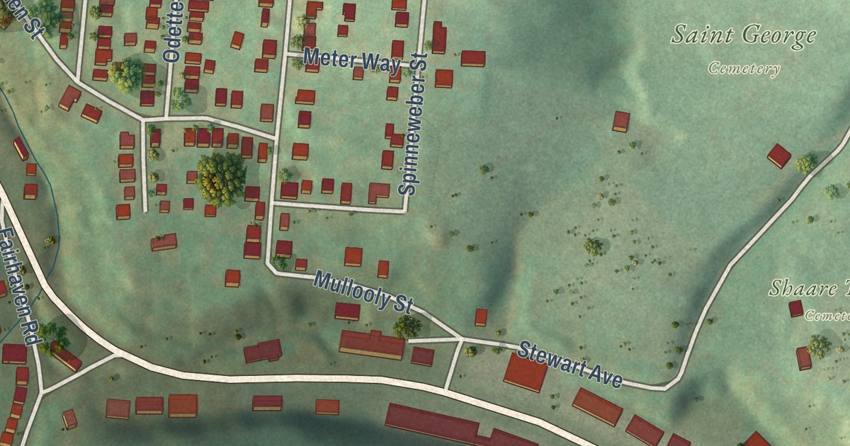
This beautifully detailed map of Overbrook, Pennsylvania was created in 2026 using aerial imagery combined with modern topographical, census, street and landmark data. It’s a one-of-a-kind view of Overbrook that combines accurate data with a vintage aesthetic. The map shows every building in its true location, many of the roads carry their names, and the shaded topographic relief shows the shape of the land.
Explore an aerial view of Overbrook, Pennsylvania
On the map you’ll find Fairhaven Greenway, Saint George Cemetery, and Shaare Torah Cemetery, along with Saw Mill Run Boulevard, Library Road, Underwood Street, Kingwood Street, Fairland Street, Homehurst Avenue, Glenbury Street, Dartmore Street, Horning Avenue, and more. If you look closely you can even find your house accurately drawn in its correct location. Zoom in on the preview to look for yours.
Did you know this about Overbrook, Pennsylvania?
From the City of Pittsburgh: "Like the other District 4 neighborhoods Overbrook is a residential pocket with a rich history behind its hills and tree-lined streets."
Take a closer look at the Overbrook map
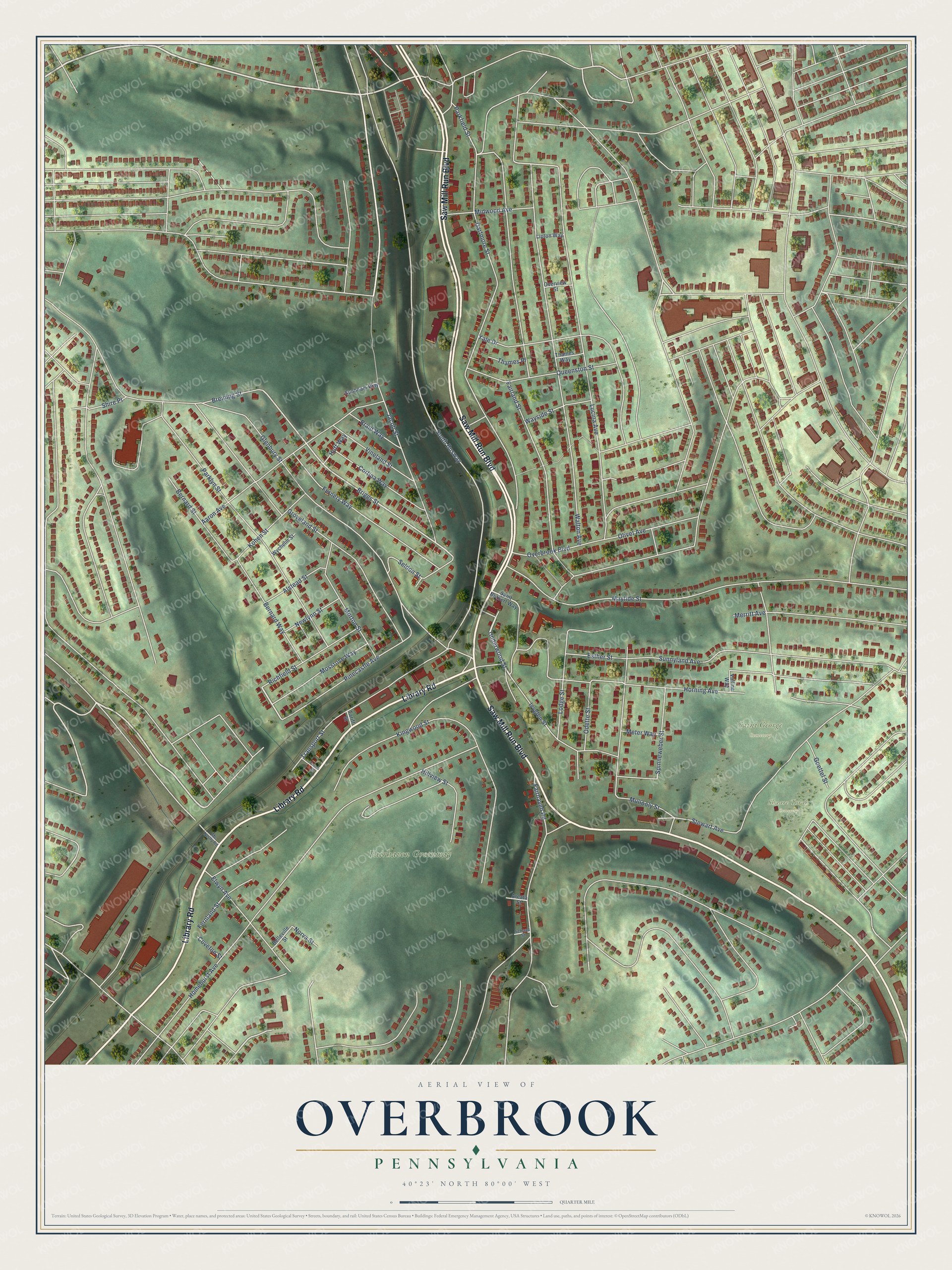
Street and place names on the Overbrook, Pennsylvania map
These names are printed on the map of Overbrook, Pennsylvania.
Places: Fairhaven Greenway, Saint George Cemetery and Shaare Torah Cemetery.
Streets and roads: Saw Mill Run Boulevard, Library Road, Underwood Street, Briggs Street, Kingwood Street, Fairland Street, Homehurst Avenue, Glenbury Street, Dartmore Street, Horning Avenue, South Busway, Groveland Street.
More street names, A to Z
Aaron Avenue, Alstead Street, Arcata Street, Belleville Street, Bernard Street, Bernard Way, Braid Way, Breining Street, Cortina Way, Coveton Street, Elwyn Avenue, Esther Street, Fairhaven Road, Fernery Way, Fernland Street, Forum Street, Goettel Street, Hillview Street, Huff Way, Ivyglen Street, Jacob Street, Kohen Street, Lipton Way, Lodge Street, Lucina Avenue, Maytide Street, Mc Neilly Road, Merritt Avenue, Meter Way, Midwood Avenue, Morton Street, Mossrose Way, Mullooly Street, Newlynn Street, Norva Street, Odette Street, Olivet Avenue, Overbrook Boulevard, Overview Street, Parkfield Street, Parklyn Street, Pinecastle Avenue, Queenston Street, Richfield Street, Saint Norbert Way, Schaad Street, Seldon Street, Shire Place, Spinneweber Street, Stewart Avenue, Sunbeam Way, Sunnyland Avenue, Tariff Street, Thames Place, Thames Way, Transport Street, Valline Way, Vineland Street, Walton Avenue, Wayside Street, Wychelm Street, Yale Drive.
See the Overbrook, Pennsylvania map on a wall
The Overbrook map as an 18 x 24 inch print in a black frame.

This beautifully detailed map of Overbrook makes an attractive addition to your office, library, or den, and it can even be used to teach children the geography and history of the area. It also makes a great gift for anyone who grew up in Overbrook or moved away. When you’re done exploring, click here to get your copy of the Overbrook map.