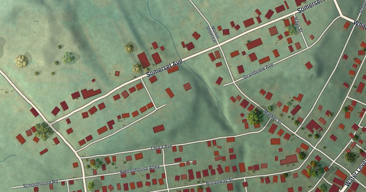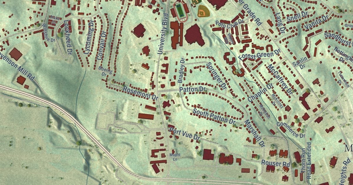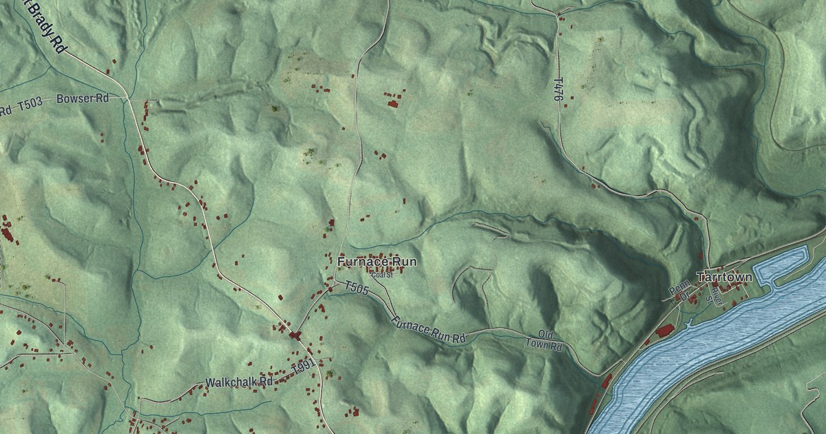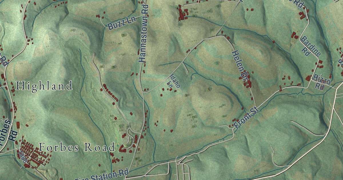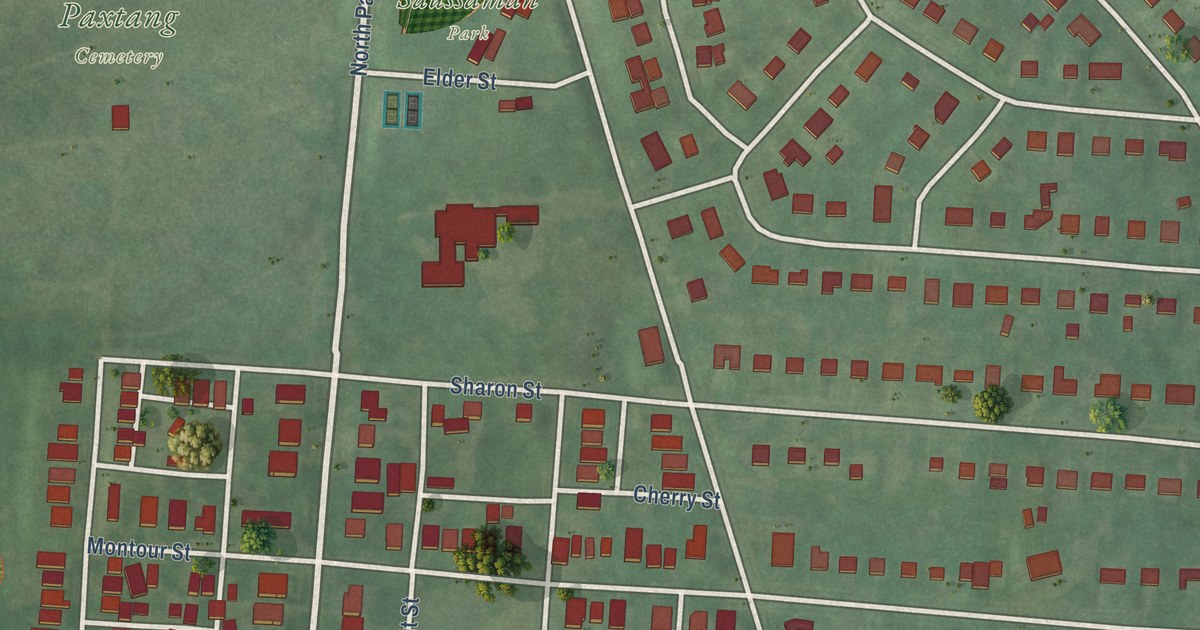
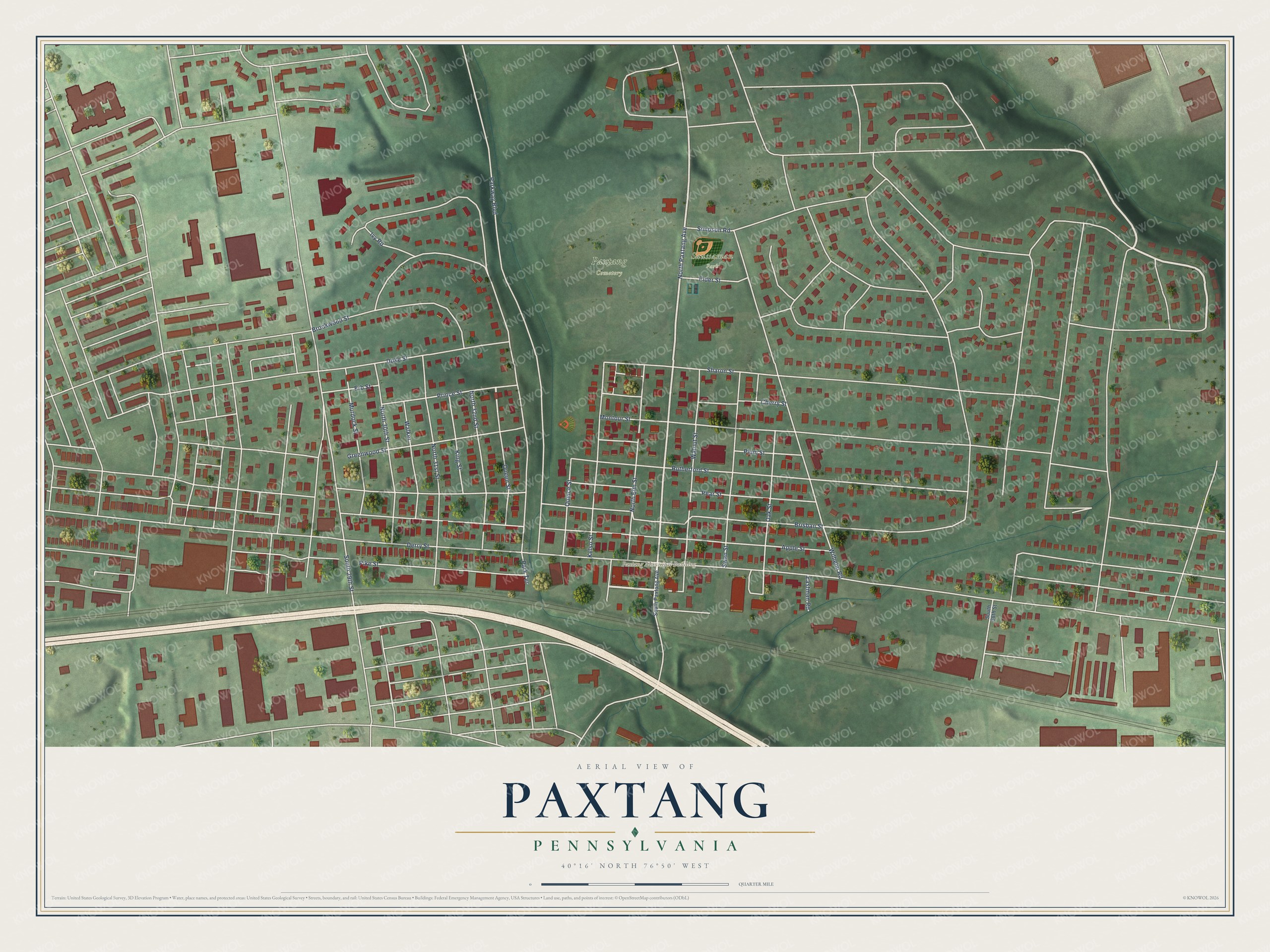
This beautifully detailed map of Paxtang, Pennsylvania was created in 2026 using aerial imagery combined with modern topographical, census, street and landmark data. It’s a one-of-a-kind view of Paxtang that combines accurate data with a vintage aesthetic. The map shows every building in its true location, many of the roads carry their names, and the shaded topographic relief shows the shape of the land.
Explore an aerial view of Paxtang, Pennsylvania
On the map you’ll find Paxtang Municipal Building, Paxtang Cemetery, and Saussaman Park, along with Pike Street, North Paxtang Avenue, Derry Street, Park Terrace, South 29th Street, Brisban Street, Apple Street, Parkway Boulevard, Wilhelm Road, and more. If you look closely you can even find your house accurately drawn in its correct location. Zoom in on the preview to look for yours.
Did you know this piece of Paxtang, Pennsylvania history?
Settlers arrived here in the 1700s at the site of a Shawnee and Lenape village called Peshtank. In Lenape, Peshtank meant where the waters stand. English speakers turned it into Paxtang or Paxton. The Susquehanna River was easy to ford here, so trails and trade routes met at this spot.
Take a closer look at the Paxtang map
Street and place names on the Paxtang, Pennsylvania map
These names are printed on the map of Paxtang, Pennsylvania.
Places: Paxtang Municipal Building, Paxtang Cemetery and Saussaman Park.
Streets and roads: Pike Street, North Paxtang Avenue, Derry Street, Park Terrace, South 29th Street, Brisban Street, Apple Street, Parkway Boulevard, Wilhelm Road, North 32nd Street, Rutherford Street, Walnut Street.
More street names, A to Z
Brookwood Street, Cherry Street, Duke Street, Eastman Road, Elder Street, Erb Street, Greenwood Street, Ivy Road, Kelso Street, King Street, Montour Street, Murdock Street, North 30th Street, North 31st Street, North Elm Street, Oak Street, Pear Street, Plum Street, Prince Street, Queen Street, Quince Street, Sharon Street, Simpson Road, South 38th Street, South Paxtang Avenue, Swan Street, Walker.
See the Paxtang, Pennsylvania map on a wall
The Paxtang map as an 18 x 24 inch print in a black frame.

This beautifully detailed map of Paxtang makes an attractive addition to your office, library, or den, and it can even be used to teach children the geography and history of the area. It also makes a great gift for someone who left Paxtang and still calls it home. When you’re done exploring, click here to get your copy of the Paxtang map.