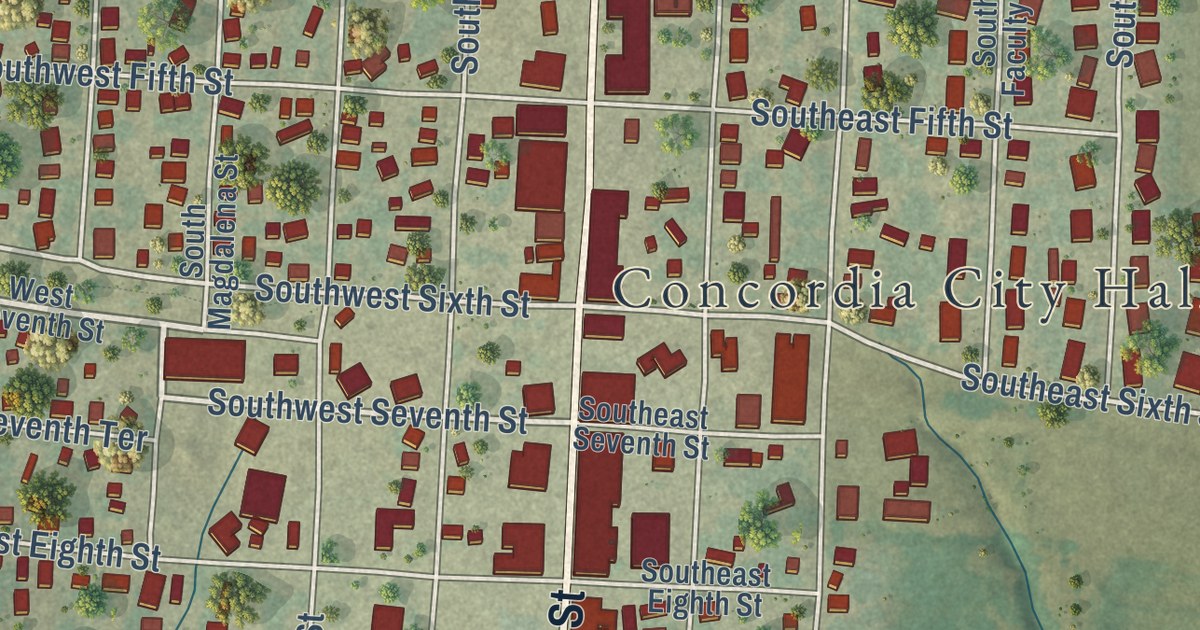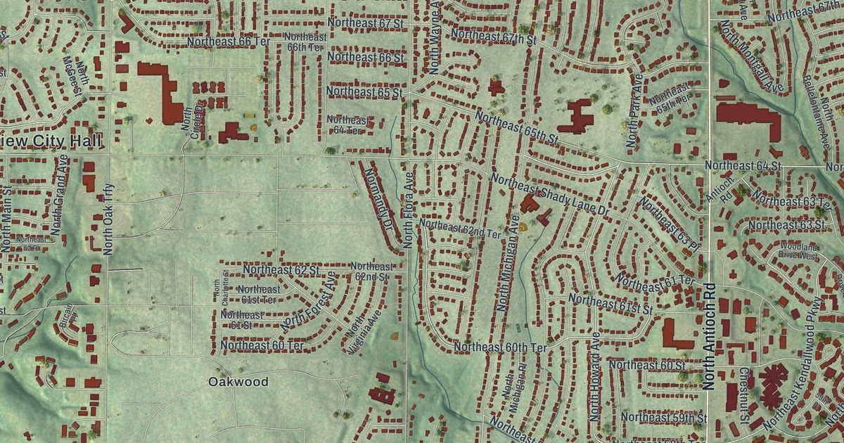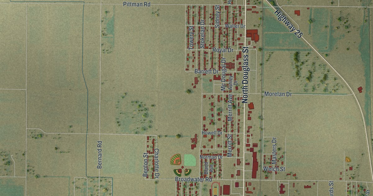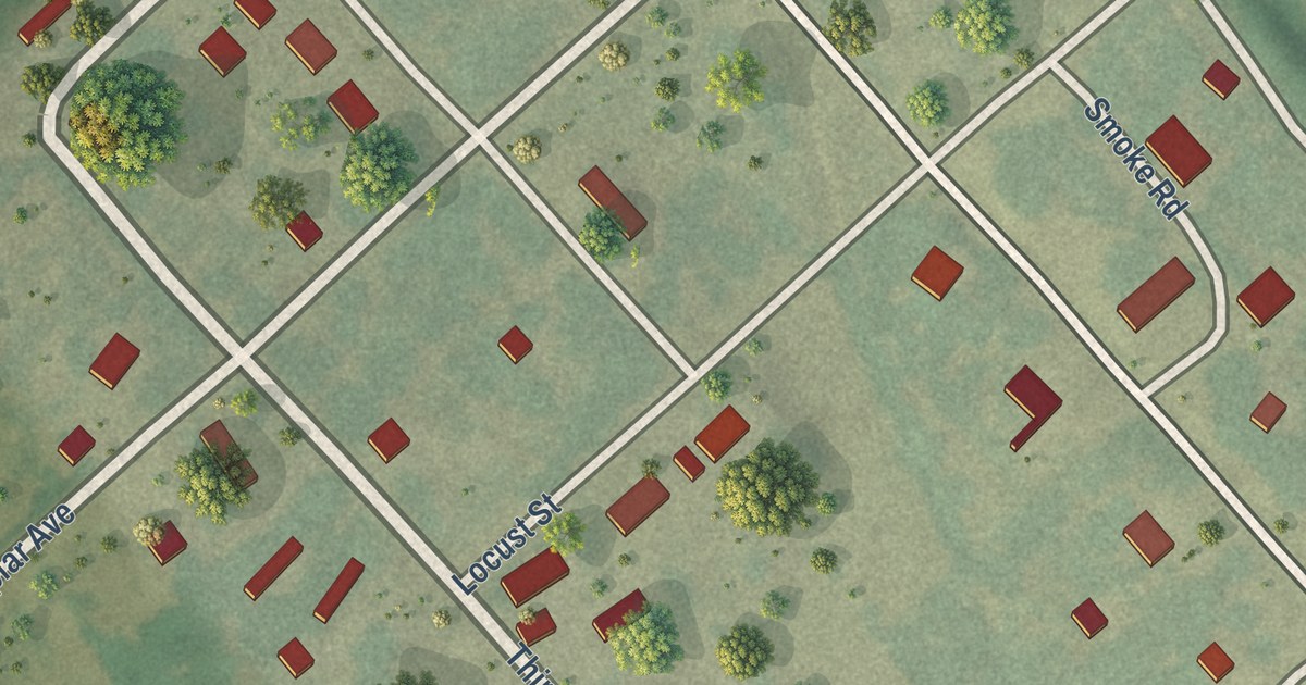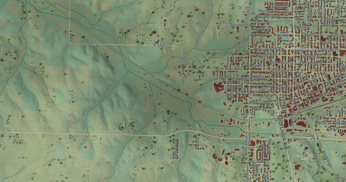
This beautifully detailed map of Monett, Missouri was created in 2026 using aerial imagery combined with modern topographical, census, street and landmark data. It’s a one-of-a-kind view of Monett that combines accurate data with a vintage aesthetic. The map shows every building in its true location, many of the roads carry their names, and the shaded topographic relief shows the shape of the land.
Explore an aerial view of Monett, Missouri
On the map you’ll find Yonkerville, Monett City Park, North Park, Kyler, and North Kyler, along with South Lincoln Avenue, North Central Avenue, Cleveland Avenue, East Cleveland Avenue, 13th Street, North Eisenhower Street, South Eisenhower Street, and more. If you look closely you can even find your house accurately drawn in its correct location. Zoom in on the preview to look for yours.
Take a closer look at the Monett map
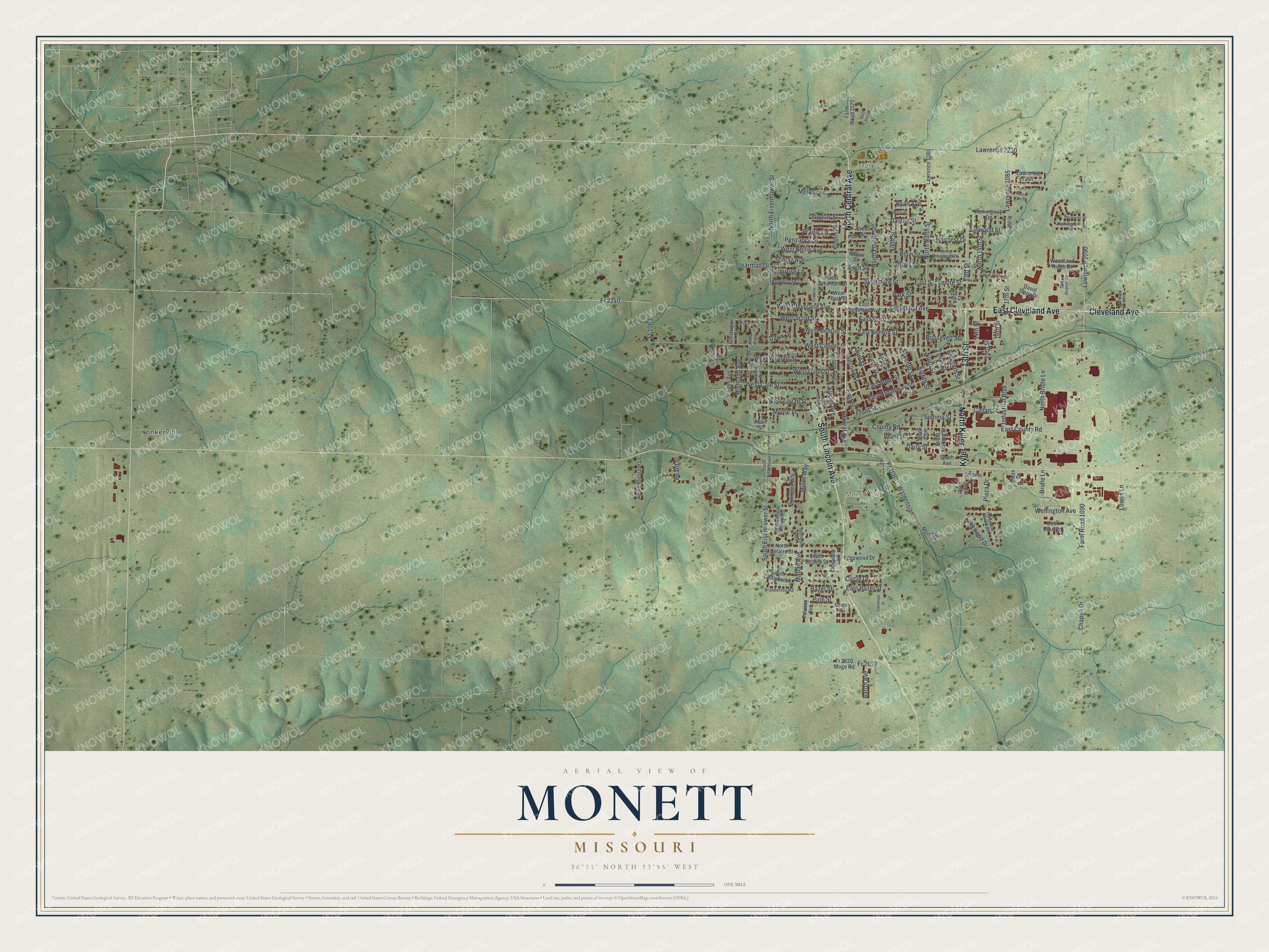
Street and place names on the Monett, Missouri map
These names are printed on the map of Monett, Missouri.
Places: Yonkerville, Monett City Park and North Park.
Streets and roads: South Lincoln Avenue, North Central Avenue, Cleveland Avenue, Kyler, North Kyler, East Cleveland Avenue, 13th Street, North Eisenhower Street, South Eisenhower Street, West Cleveland Avenue, Fr 2022, Linwood Street.
More street names, A to Z
14th Street, 15th Street, 16th Street, 17th Street, Aaron Avenue, Apple Blossom Lane, Atwell Acres, Beard Street, Birch Street, Boys Street, Brandermill Road, Bridle Lane, Brown Street, Bryan Place, Callan Street, Central Avenue, Chapell Drive, Cherry Street, Circle Drive, County Road, Crest Drive, Crestview Drive, Dairy Street, David Sippy Drive, Davis Drive, Dayton Street, Deer Lake Road, Douglas Street, East Benton Street, East Bond Street, East Broadway Street, East County Road, East Hazel Street, East Scott Street, East Sycamore Street, Eastwood Street, Edgewood Drive, Eighth Street, Eleventh Street, Euclid Avenue, Fairway Avenue, Farm Road 1075, Farm Road 1090, Fifth Street, First Street, Fourth Street, Fr 1063, Fr 1080, Fr 2020 Moge Road, Fr 2240, Frisco Avenue, Front Street, Grand Avenue, Hazel Street, Hemingway Drive, Hess Drive, Highland Avenue, High Street, Hillcrest Drive, Honeysuckle Lane, Industrial Boulevard, Jerome Lane, Kingsley Drive, Lakewood Drive, Lakewood Drive East, Lawrence 1080, Lawrence 1085, Lawrence 1090, Lawrence 1093, Lawrence 2230, Lawrence 2232, Learning Lane, Linden Avenue, Lowes Lane, Main Street, Marlan Avenue, Marty Street, Meadow Lark, Melody Lane, Miller Way, Morris Lane, Myrtle Street, Ninth Street, North 14th Street, North 16th Street, North Belaire Street, North Bridle Lane, North Fourth Street, Northgate Avenue, North Lincoln Avenue, North Ninth Street, North Port Drive, North Rosewood Drive, Oakdale Lane, Old Airport Road, Park Street, Pearl Street, Penzance Street, Pine Street, Plaza Drive, Pleasant Drive, Plum Street, Plymouth Hills Drive West, Prairie Lane, Primrose Lane, Remington Drive, Roosevelt Street, Ryan Avenue, Schulz Avenue, Second Street, Seventh Street, Sixth Street, South Avenue, South Belaire Street, South Cedarbrook, South Eisenhower, Southgate Avenue, South Hickory Street, South Kyler, South Oak, Stearman Drive, Summit Street, Sycamore Street, Tenth Street, Third Street, Twelfth Street, Twin Hills Drive, Twin Oaks Drive, Waldensian, Wellington Avenue, West Benton Street, West Cale Street, West County Street, West Dunn Street, West Logan Street, West Nellie Avenue, West Park Street, West Scott Street, West Sycamore Street, West Wishart Street, Wilson Street, Winchester Drive, Woodland Ridge Drive.
See the Monett, Missouri map on a wall
The Monett map as an 18 x 24 inch print in a black frame.

This beautifully detailed map of Monett makes an attractive addition to your office, library, or den, and it can even be used to teach children the geography and history of the area. It also makes a great gift for anyone with Monett roots. When you’re done exploring, click here to get your copy of the Monett map.