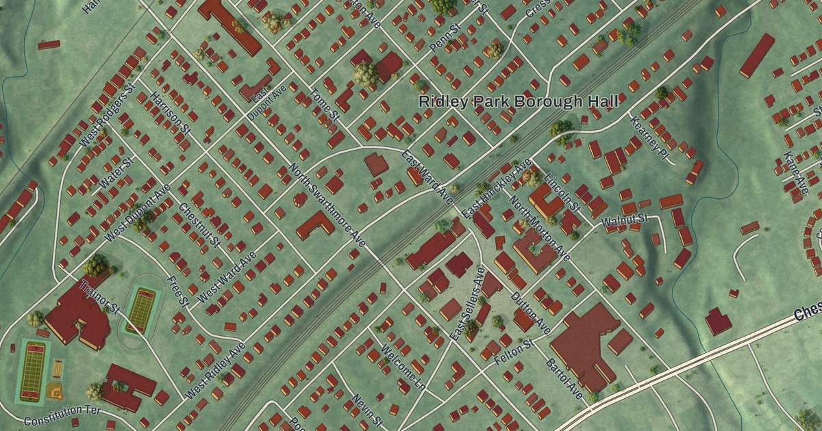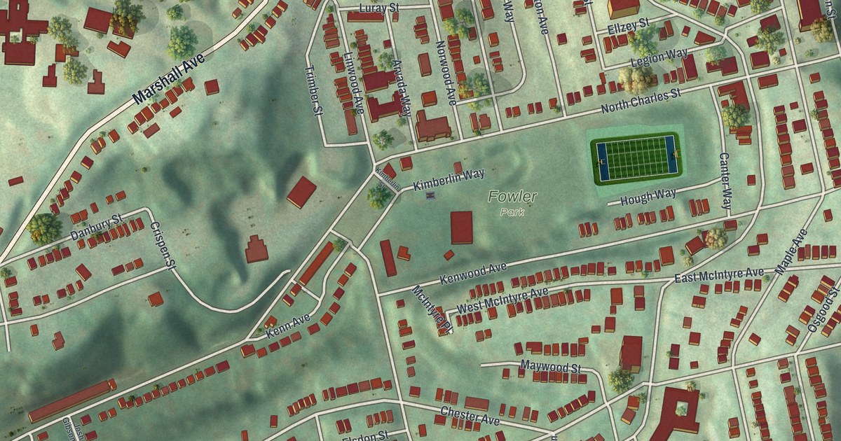
If you grew up in Perry South, look for your old block. This modern aerial view of Perry South in Allegheny County, Pennsylvania pairs modern data with a vintage feel. Red buildings line the streets, with green slopes around the close-set blocks. Fowler Park and Union Dale Cemetery stand out among them.
Perrysville Avenue and Perry Hilltop
On this map you'll find Perrysville Avenue, Marshall Avenue, North Charles Street, Federal Street, Fowler Park, Union Dale Cemetery, Perry Hilltop, Woods Run, Chester Avenue, Wilson Avenue, Norwood Avenue, and more. Each red shape is a building, so zoom in on the preview and look for yours.
Perrysville Avenue also gives you a place to start exploring local history. The National Register lists John A. Brashear's house and factory at 1954 Perrysville Avenue. The property joined the register in December 2012. That record pairs a home and a workplace at one street address. On the print, you can pick out the Perrysville Avenue name among the red buildings and green hills.
Keep Perry Hilltop Close
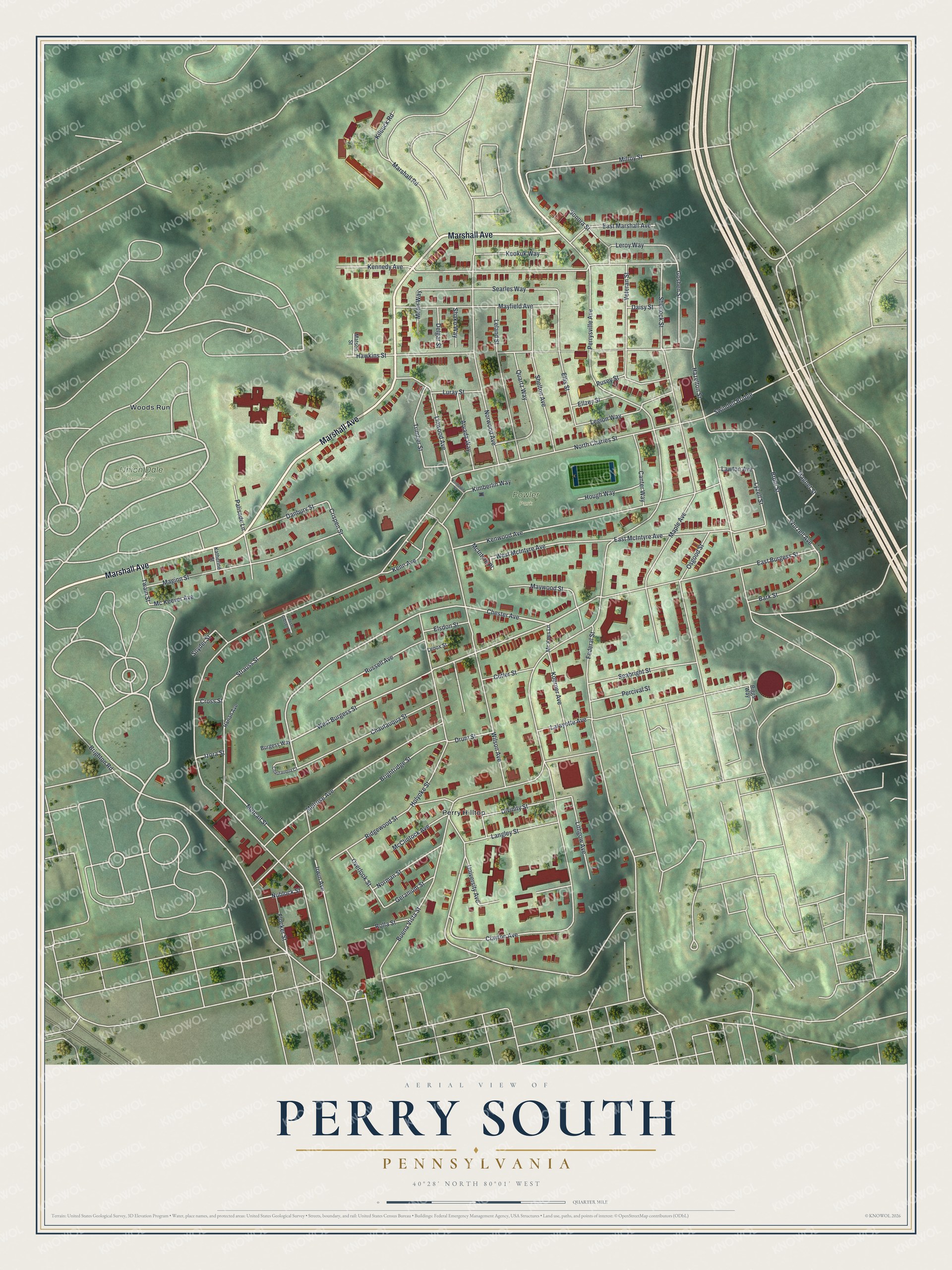
Created by KNOWOL in 2026, the print uses soft greens, red building shapes and pale roads. A cream border surrounds the view. The title panel reads AERIAL VIEW OF, PERRY SOUTH, PENNSYLVANIA, with 40°28' NORTH 80°01' WEST below.
Hang it in a living room, hallway or home office. It's a thoughtful gift for someone who grew up near Fowler Park or has family in Perry Hilltop. Open the preview and take a closer look at the streets you know. See sizes and frames for the Perry South map.