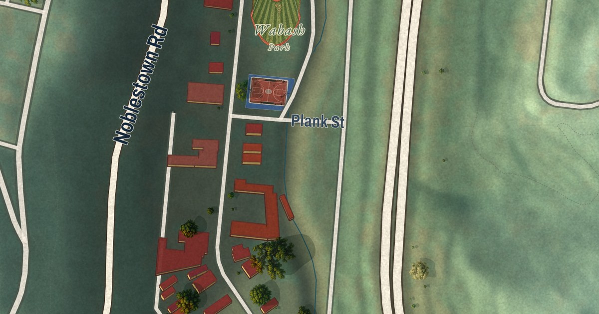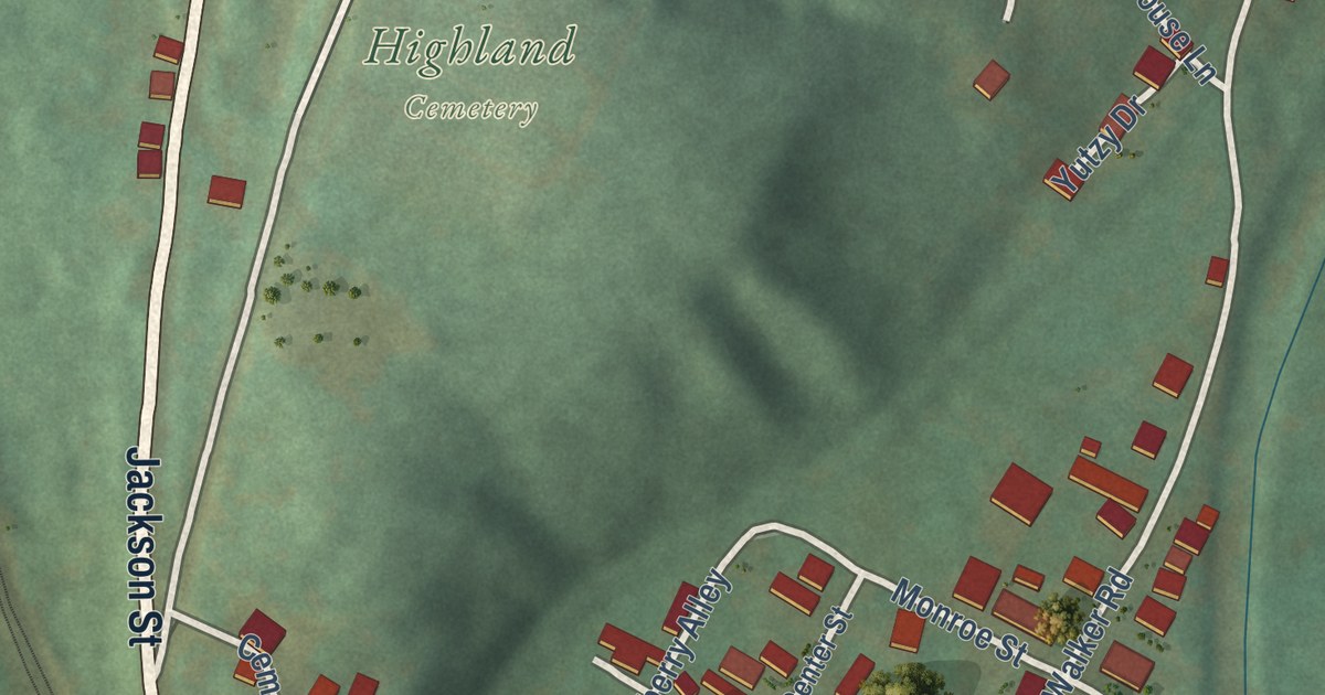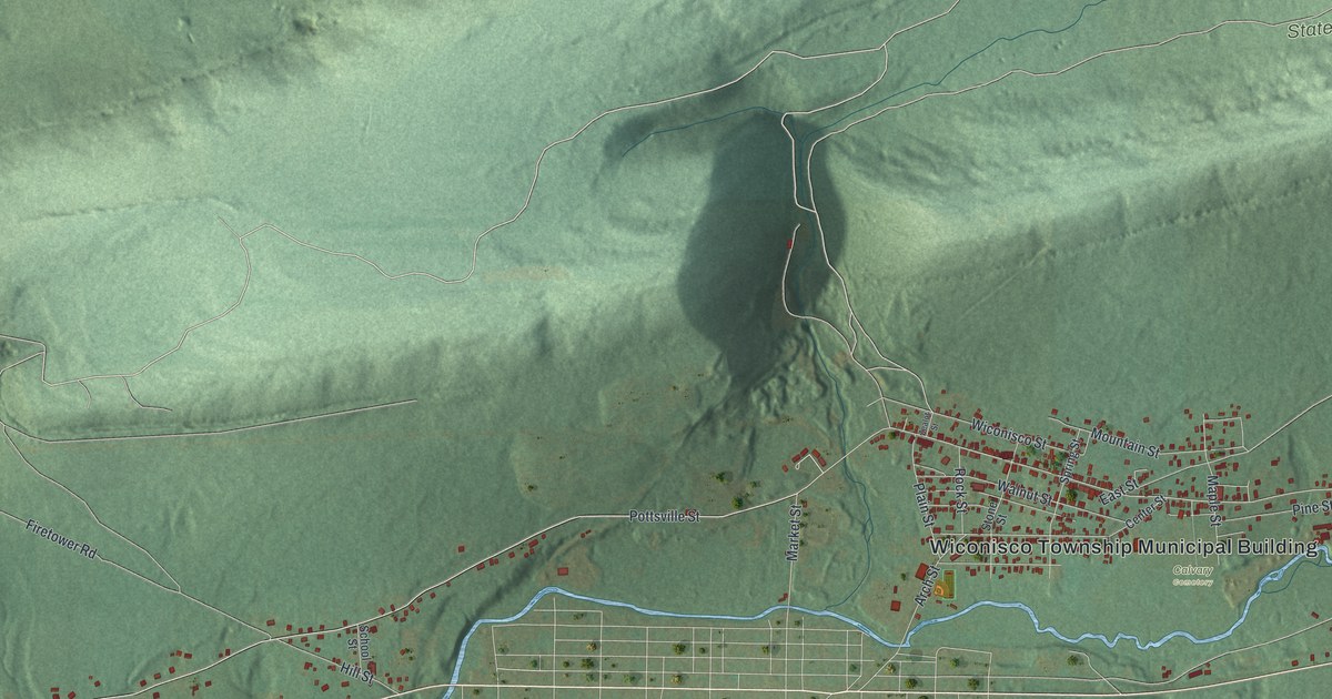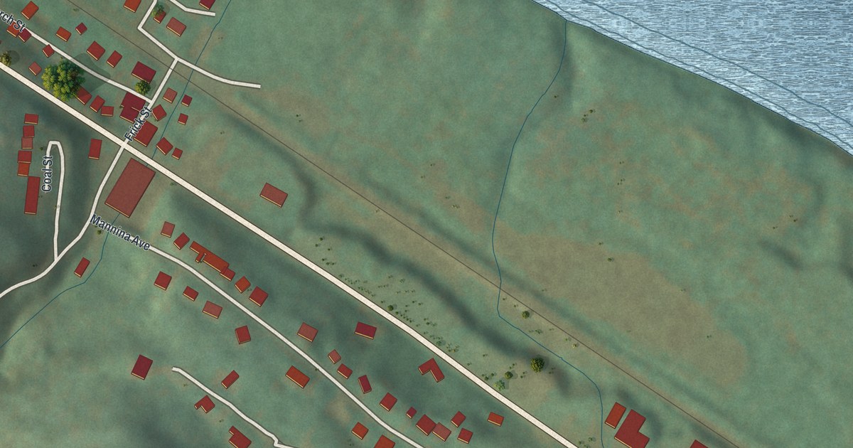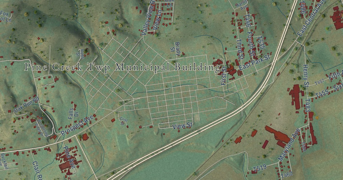
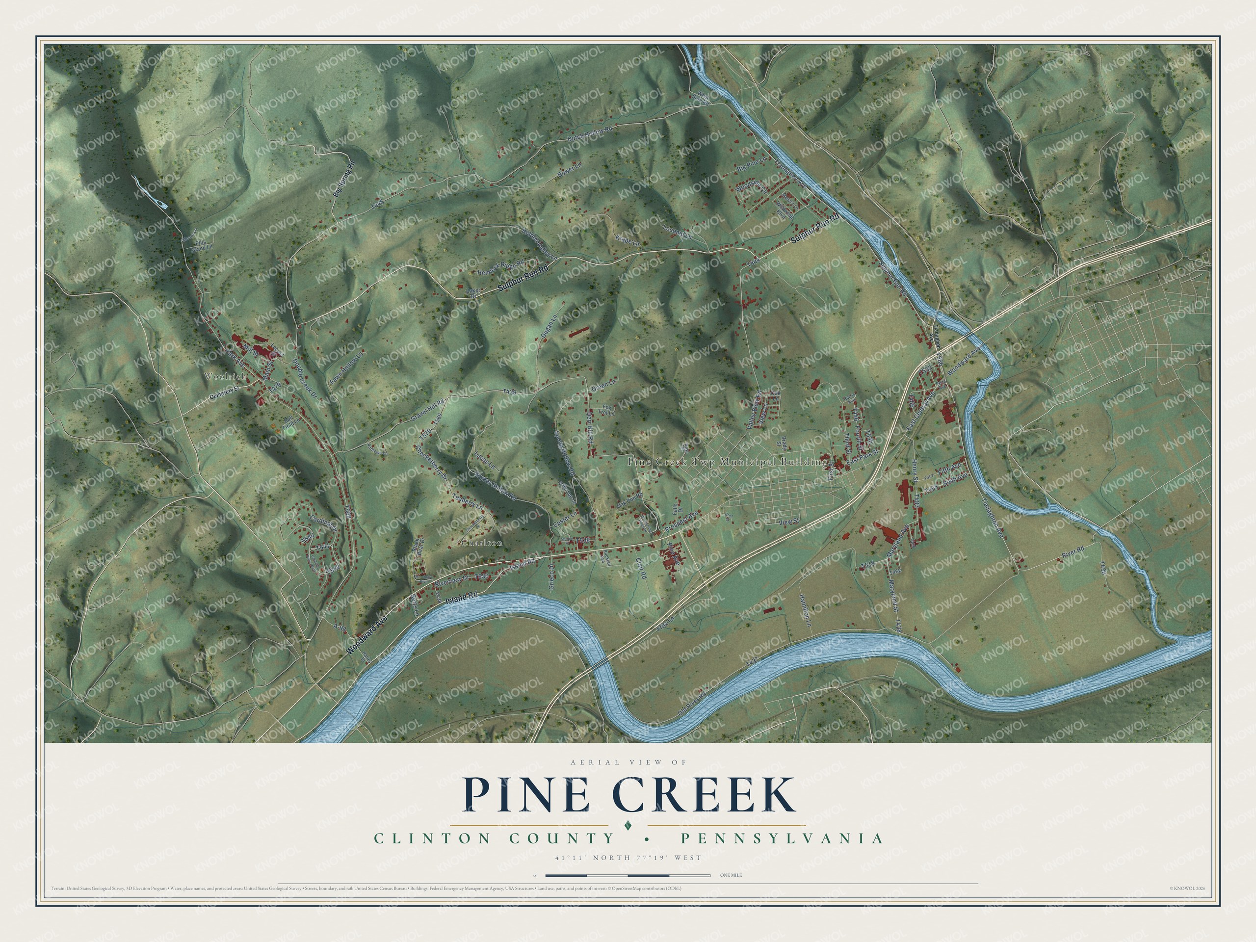
This beautifully detailed map of Pine Creek, Clinton County, Pennsylvania was created in 2026 using aerial imagery combined with modern topographical, census, street and landmark data. It’s a one-of-a-kind view of Pine Creek that combines accurate data with a vintage aesthetic. The map shows every building in its true location, many of the roads carry their names, and the shaded topographic relief shows the shape of the land.
Explore an aerial view of Pine Creek, Clinton County, Pennsylvania
On the map you’ll find Pine Creek Twp Municipal Building, Woolrich, and Charlton, along with Woodward Avenue, Sulphur Run Road, Island Road, Tiadaghton Avenue, River Road, East Central Avenue, Old River Road, and more. If you look closely you can even find your house accurately drawn in its correct location. Zoom in on the preview to look for yours.
Take a closer look at the Pine Creek, Clinton County map
Street and place names on the Pine Creek, Clinton County, Pennsylvania map
These names are printed on the map of Pine Creek, Clinton County, Pennsylvania.
Places: Pine Creek Twp Municipal Building, Woolrich and Charlton.
Streets and roads: Woodward Avenue, Sulphur Run Road, Island Road, Tiadaghton Avenue, River Road, Old River Road, East Central Avenue, Maryland Street, Dutch Hollow Road, Tiadaghen Avenue, View Street, Riverview Drive.
More street names, A to Z
A-98, Andrews Lane, Baker Drive, Ball Field Lane, Betts Lane, Big Pine Lane, Big Spring Road, Black Bear Drive, Bower Lane, Brady Street, Bucktail Avenue, Cardinal Drive, Cardinal Drive West, Cemetery Street, Checkerberry Drive, Checkerberry Lane, Clair Road, Crist Street, Custer Lane, Derr Hill Road, Double Creek Drive, Dugan Lane, East Park Street, Ellis Island Lane, Falls Drive, Fawn Hollow Lane, Fifth Avenue, First Street, Fourth Street, Fox Trot Lane, Fritz Lane, Gravel Hill Road, Green Lane, Grieco Drive, Hamilton Lane, Harley Drive, Harris Avenue, Hemlock Ridge Road, Henry Street, Hidden Valley Lane, Krape Lane, Kryder Hollow Road, Locomo Lane, Locust Street, Lucas Lane, Main Street, Mallard Lane, Maryland Avenue, Mill Street, Moore Lane, Oak Lane, Oak Run Road, Park Avenue, Penn Avenue, Pine Avenue, Prospect Avenue, Ross Street, Sanctuary Boulevard, Sixth Avenue, Spong Hollow Road, Spruce Street, Teaberry Lane, Third Street, Tree Top Lane, Valley View Road, View Lane, West Side Road, Whispering Pines Drive, Wildwing Boulevard, Woodside Circle.
See the Pine Creek, Clinton County, Pennsylvania map on a wall
The Pine Creek, Clinton County map as an 18 x 24 inch print in a black frame.

This beautifully detailed map of Pine Creek, Clinton County makes an attractive addition to your office, library, or den, and it can even be used to teach children the geography and history of the area. It also makes a great gift for anyone with Pine Creek roots. When you’re done exploring, click here to get your copy of the Pine Creek, Clinton County map.