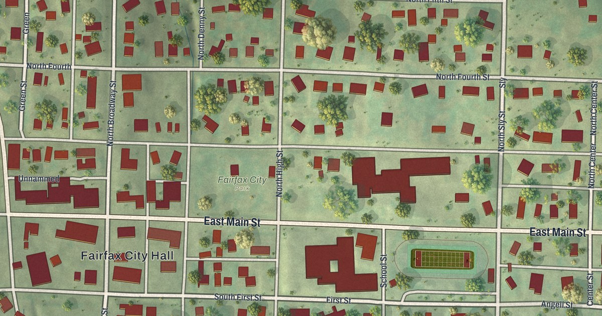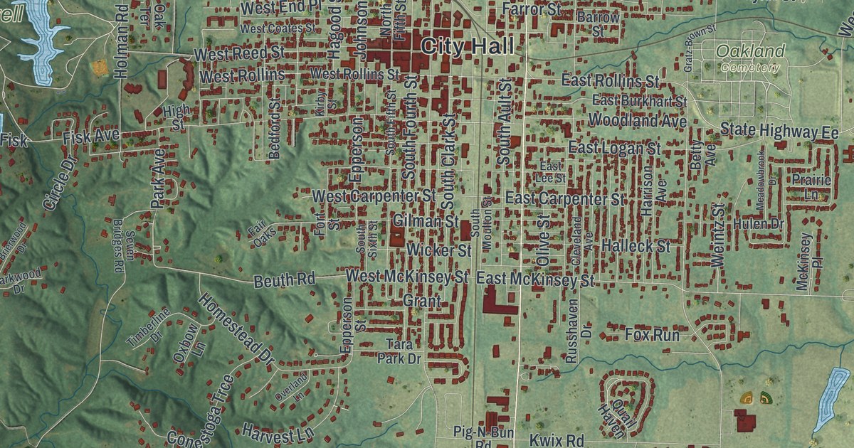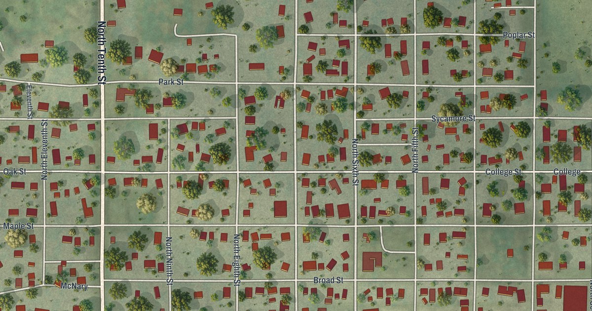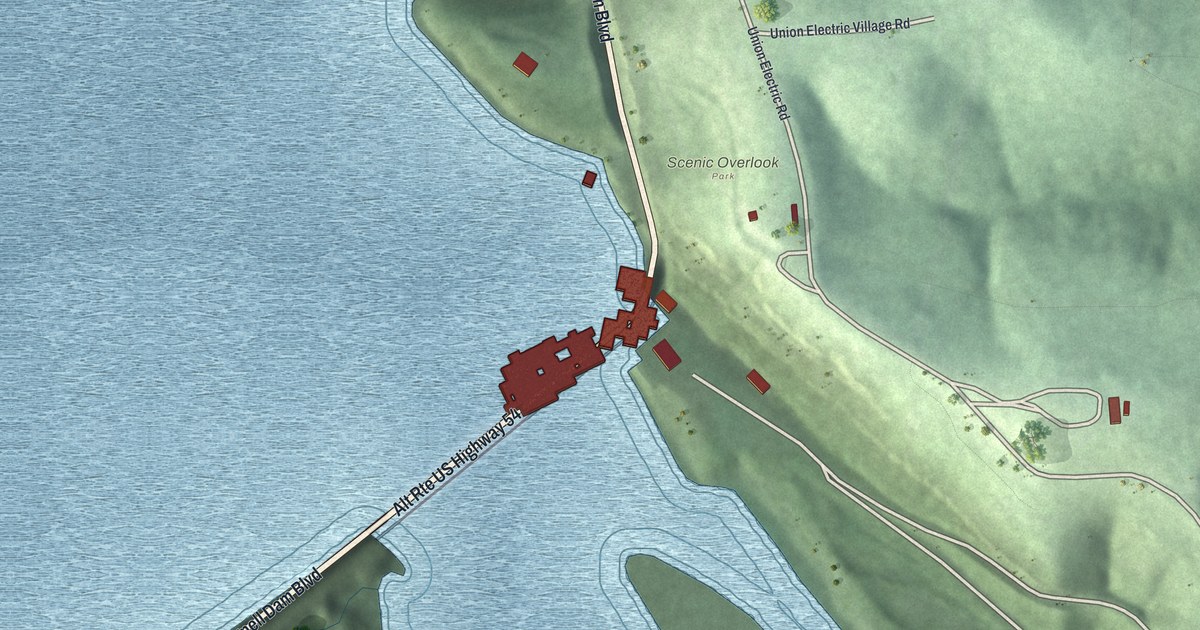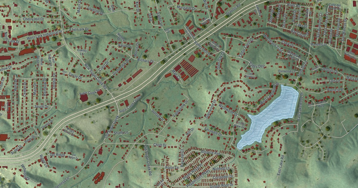
If you grew up in Murphy, look for your old street on this print. It's a modern aerial view of Murphy in Jefferson County, Missouri, made with modern data and a vintage feel. Red buildings fill the curves of neighborhood streets. Green hills and blue water give the view its shape.
Gravois Road and the Murphy Name
On this map you'll find Gravois Road, Hillsboro Valley Park Road, Saline Road, Old Highway 30, Brennan Road, New Sugar Creek Road, Northwest Boulevard, Hawkins Road, Coil Road, Schumacher Road, and more. Each red shape is a building, so zoom in on the preview and look for yours.
The State Historical Society of Missouri's place-name file says Murphy was named for the Murphy family who settled here. The name MURPHY stands in large type in the title panel beneath the map. Above it, you can pick out today's streets and homes among the hills. Start with a name you know, like Gravois Road, and look for the smaller streets you remember.
Murphy on Your Wall
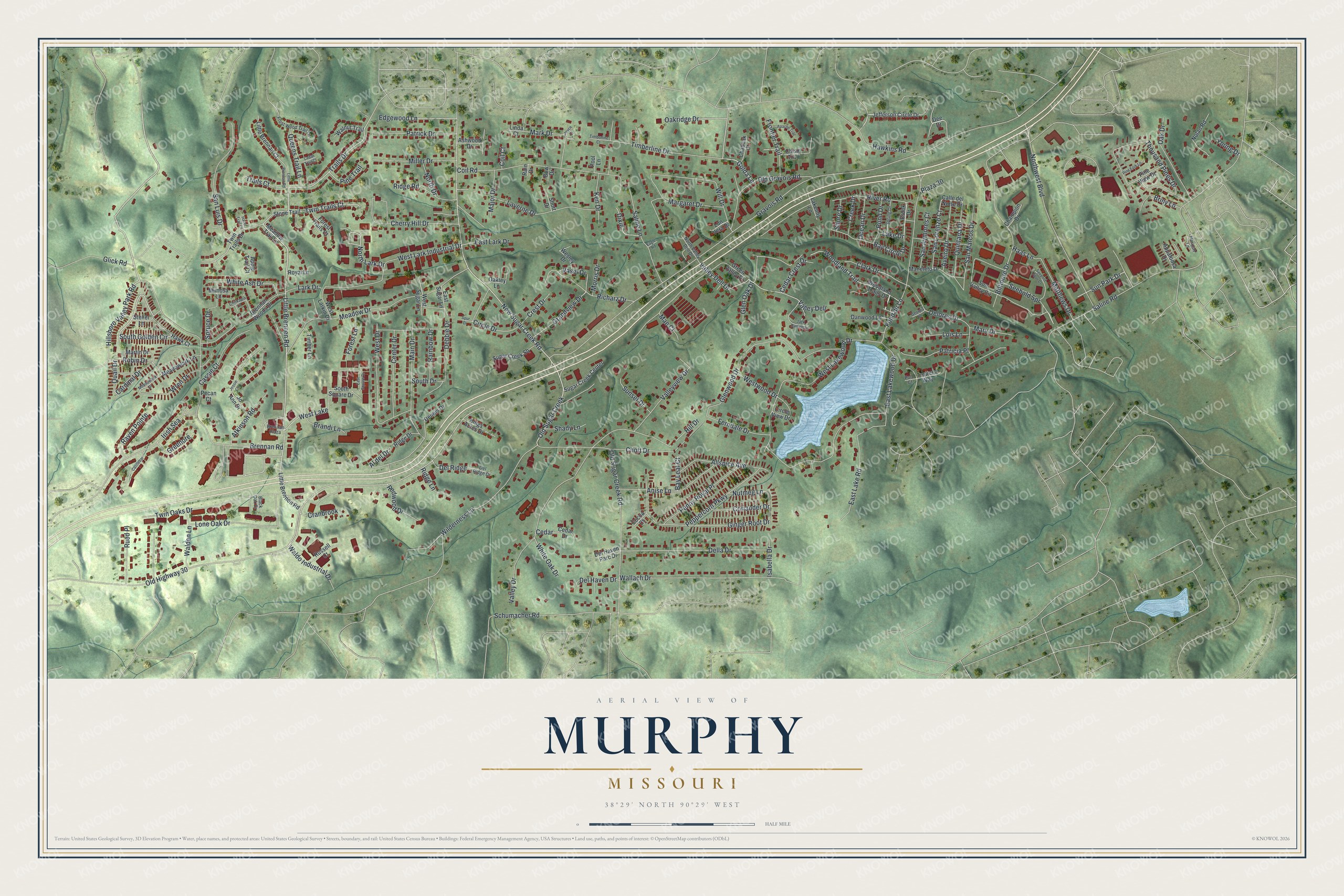
Created by KNOWOL in 2026, this print pairs shaded green hills with red buildings and pale blue water. A cream border surrounds the view. The title panel reads AERIAL VIEW OF, MURPHY, MISSOURI, with 38°29' NORTH 90°29' WEST below.
Hang it in a living room, home office, or entryway. It's a gift for someone who grew up near Gravois Road or has family in Murphy. Open the preview and find the streets that bring you back home. See sizes and frames for the Murphy map.