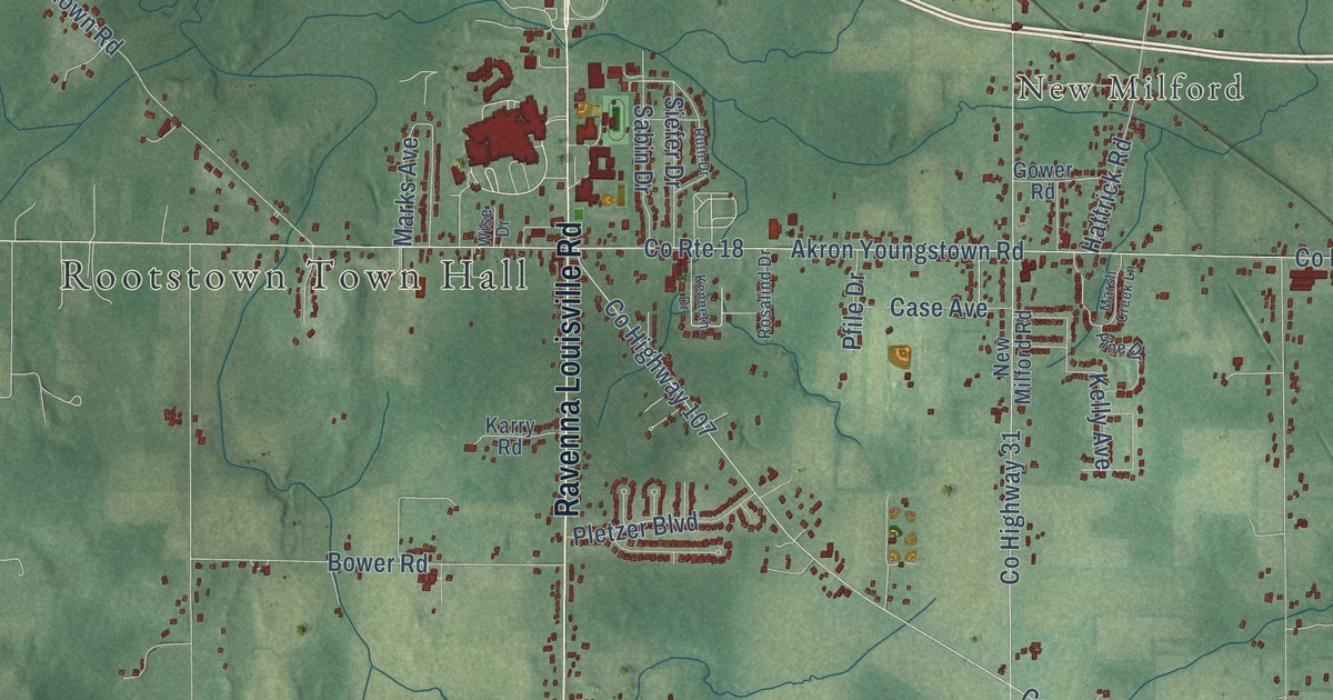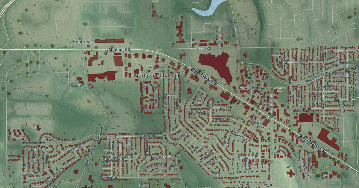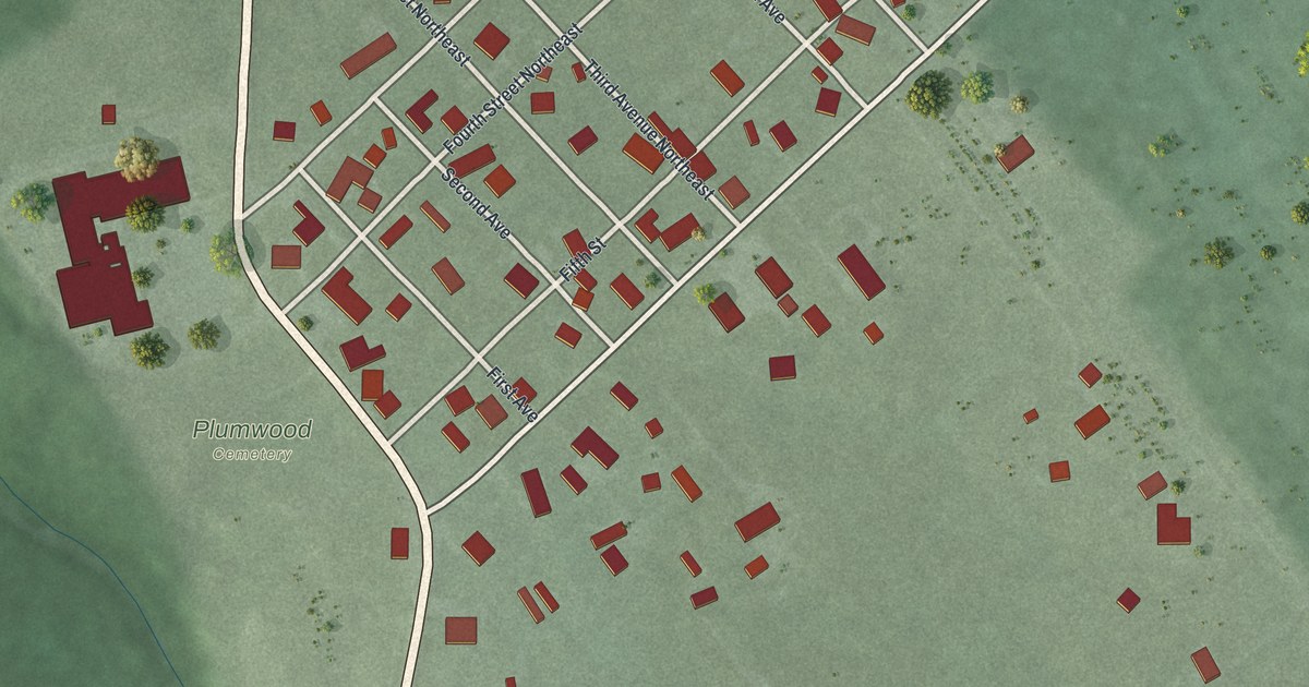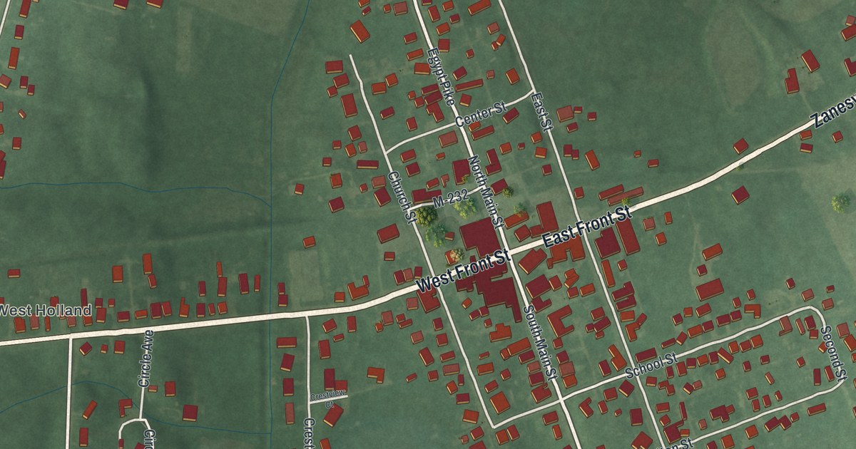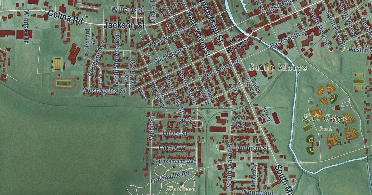
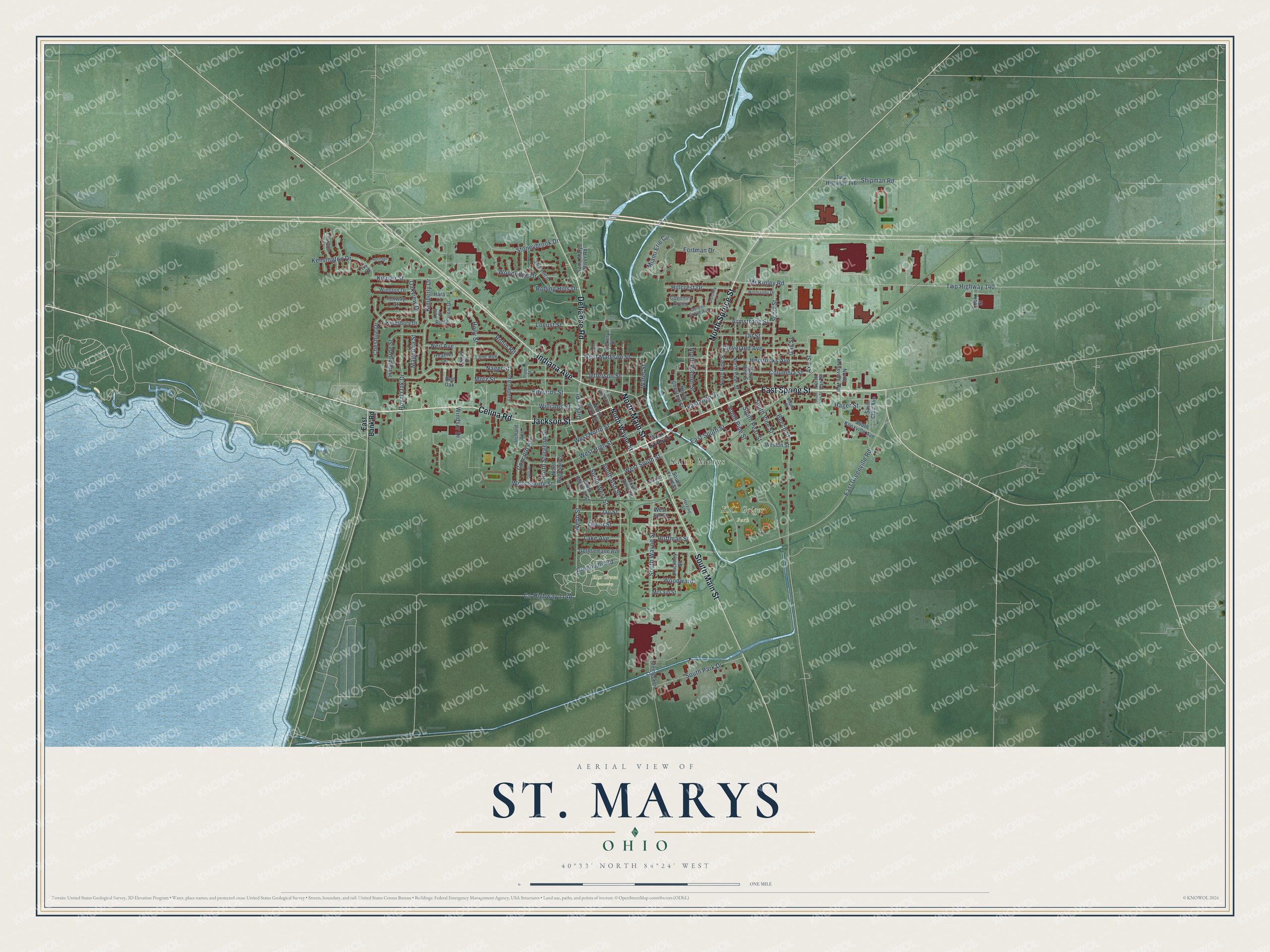
This beautifully detailed map of St. Marys, Ohio was created in 2026 using aerial imagery combined with modern topographical, census, street and landmark data. It’s a one-of-a-kind view of St. Marys that combines accurate data with a vintage aesthetic. The map shows every building in its true location, many of the roads carry their names, and the shaded topographic relief shows the shape of the land.
Explore an aerial view of St. Marys, Ohio
On the map you’ll find Elm Grove Cemetery and West Oaks Park, along with Jackson Street, Celina Road, North Main Street, North Wayne Street, East Spring Street, Defiance Road, South Main Street, North Spruce Street, Indiana Avenue, and more. If you look closely you can even find your house accurately drawn in its correct location. Zoom in on the preview to look for yours.
Did you know this piece of St. Marys, Ohio history?
After the Revolutionary War, the Shawnee village here was called Girty’s Town. It was named for traders James and Simon Girty, who kept a trading post on the site. In 1794, General Anthony Wayne’s approach made James Girty flee to Canada. A year later, soldiers built Fort St. Mary’s, named for the nearby river.
Take a closer look at the St. Marys map
Street and place names on the St. Marys, Ohio map
These names are printed on the map of St. Marys, Ohio.
Places: Saint Marys, Elm Grove Cemetery and K.C. Geiger Park.
Streets and roads: East Spring Street, Jackson Street, Celina Road, North Main Street, South Main Street, North Spruce Street, Indiana Avenue, Defiance Road, McKinley Road, South Ash Street, Webb Street, West South Street.
More street names, A to Z
Armstrong Street, Axe Street, Beech Street, Briarcliff Drive, Cambridge Court, Cheshire Drive, Cleveland Avenue, Columbia Street, Concord Avenue, Cook Street, Coventry Green, Dieker Place, Dorothy Lane, East Bank Road, East Greenville Road, East High Street, East South Street, Edwards Street, Fenway Court, Fortman Drive, Gas Street, Gethsemane Avenue, Gordon Grove Avenue, Greenville Road, Guy Street, Hackney Street, Hager Street, Hara Lane, Hawthorne Street, Heather Drive, Hendricks Avenue, Heritage Court, Herzing Street, Hickory Street, Hillcrest Drive, Holly Street, Huffman Street, Ivy Court, Jay Street, Jefferson Street, Kensington Drive, Kent Court, Kimberly Drive, Kingsbury Drive, Kishler Street, Lake Avenue, Lane Avenue, Laurel Drive, Linden Avenue, Locust Street, Lynn Street, Magnolia Street, Maple Street, Market Street, McLain Street, Miami Erie Circle, Motz Street, Nagel Street, Neil Avenue, Normandy Drive, North Augustus Street, North Chestnut Street, North Knoxville Avenue, North Pear Street, North Perry Street, North Pine Street, North Sturgeon Street, North Van Street, North Vine Street, North Walnut Street, North Wayne Street, Oakview Drive, Ohio Street, Oil Street, Oliver Street, Orchard Avenue, Piper Street, Red Oak, Ridgeview Drive, Robin Road, Rolling Hills Drive, Royal Oak Drive, Saint Clair Avenue, Saint Marys River Road, Scott Street, Shipman Road, South Buckeye Street, South Front Street, South Knoxville Avenue, South Park Drive, South Pear Street, South Perry Street, South Pine Street, South Van Street, South Vine Street, South Wayne Street, South West Street, Steinecker Drive, Stoneybrook Drive, Twp Highway 140, Twp Highway 146, Water Street, West High Street, West Jay Street, West Madison Street, West North Street, Weston Street, West Spring Street, Williams Street, Windsor Drive, Winston Drive, Woodridge Drive, Woodward.
See the St. Marys, Ohio map on a wall
The St. Marys map as an 18 x 24 inch print in a black frame.

This beautifully detailed map of St. Marys makes an attractive addition to your office, library, or den, and it can even be used to teach children the geography and history of the area. It also makes a great gift for anyone with St. Marys roots. When you’re done exploring, click here to get your copy of the St. Marys map.