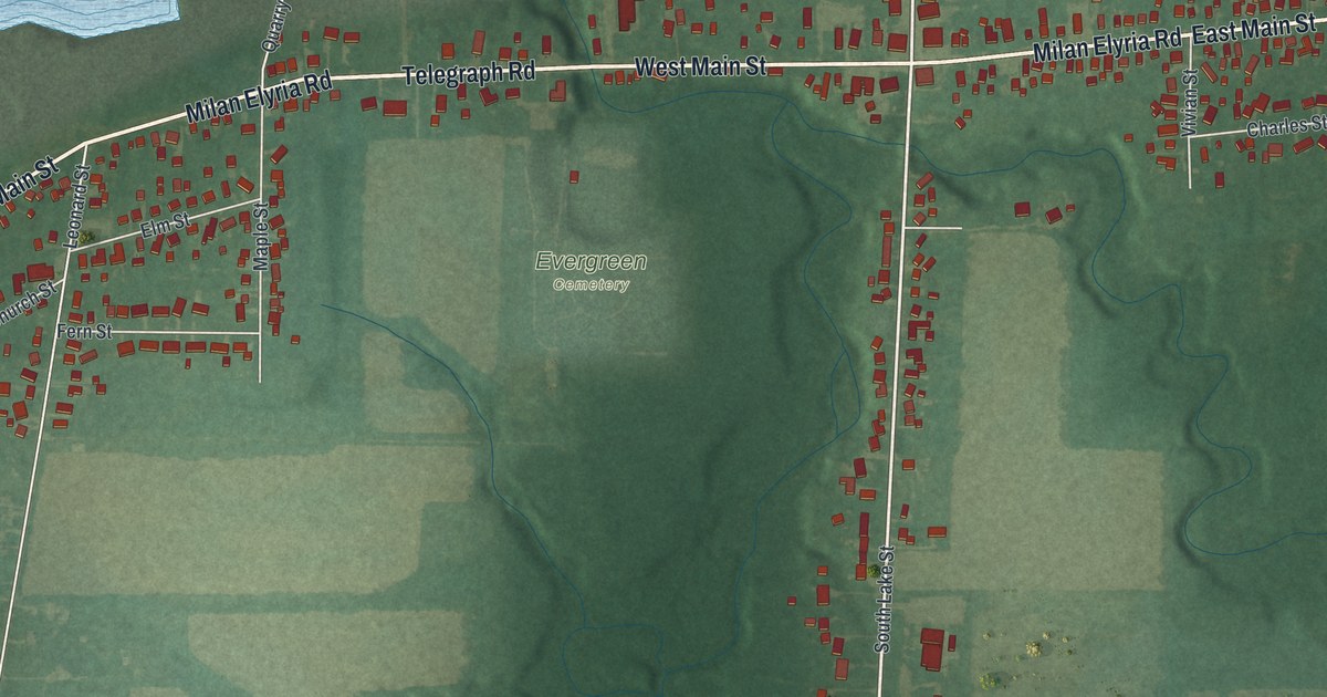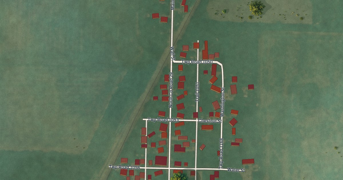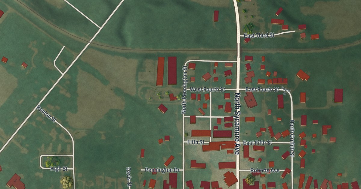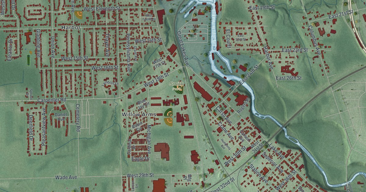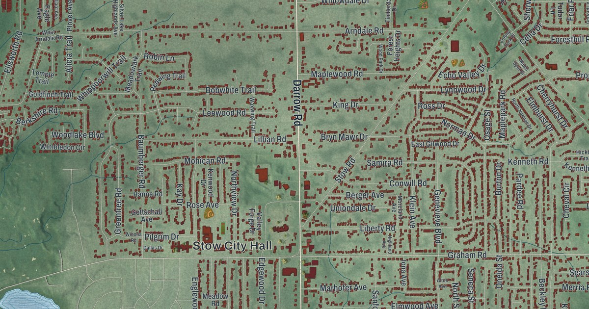
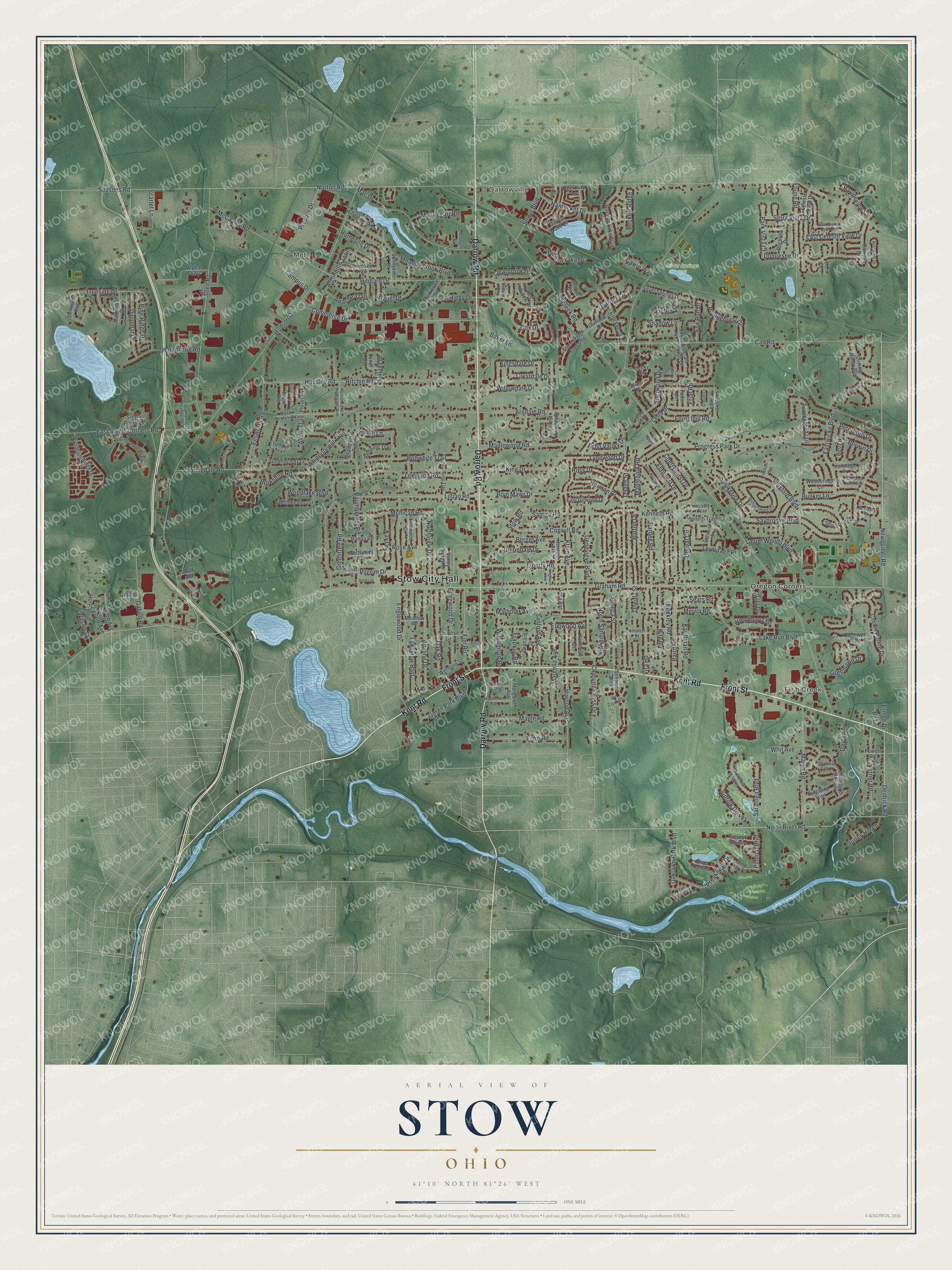
This beautifully detailed map of Stow, Ohio was created in 2026 using aerial imagery combined with modern topographical, census, street and landmark data. It’s a one-of-a-kind view of Stow that combines accurate data with a vintage aesthetic. The map shows every building in its true location, many of the roads carry their names, and the shaded topographic relief shows the shape of the land.
Explore an aerial view of Stow, Ohio
On the map you’ll find Stow City Hall, Metz, Darrowville, Fish Creek, Silver Springs Park, and Oregon Corners, along with Darrow Road, Front Street, Kent Road, Graham Road, Newcomer Road, North River Road, and more. If you look closely you can even find your house accurately drawn in its correct location. Zoom in on the preview to look for yours.
Did you know this piece of Stow, Ohio history?
The city is named for Joshua Stow, who helped survey the Western Reserve with Moses Cleaveland in 1796. He bought the township for 14,154 dollars but never lived there. First settler William Walker built a cabin in 1802, thinking he was in Hudson. An 1804 survey showed it was really in Stow Township.
Take a closer look at the Stow map
Street and place names on the Stow, Ohio map
These names are printed on the map of Stow, Ohio.
Places: Stow City Hall, Metz, Darrowville, Fish Creek, Silver Springs Park and Oregon Corners.
Streets and roads: Darrow Road, Front Street, Kent Road, Graham Road, Newcomer Road, North River Road, Deidrick Road, East Celeste View Drive, North Santom Road, Shadow Lane, Norton Road, Fishcreek Road.
More street names, A to Z
Adaline Drive, Algonquin Trail, Alicia Trail, Allen Road, Alpha Parkway, Alton Avenue, Apache Trail, Arndale Road, Atterbury Lane, Baird Road, Baker Lane, Baumberger Road, Bayside Lake Boulevard, Becket Circle, Beckett Ridge, Beckley Road, Becky Circle, Beech, Bent Tree Lane, Berger Avenue, Berkeley Place, Berkshire Road, Berry Hill, Berwin Drive, Bluestem Lane, Bobwhite Trail, Bridgewater Parkway, Brockton Drive, Bryn Mawr Drive, Bunker Lane, Burton Drive, By Lane, Caleb Avenue, Caleb Street, Call Road, Cambridge Drive, Camden Drive, Campus Drive, Carrie Way, Celeste View Drive, Celia Drive, Charring Cross Drive, Cherokee Trail, Cherryhurst Drive, Chestnut Drive, Cheval Circle, Churchill Downs, Clearbrook Drive, Colony Park Place, Commerce Drive, Conwill Road, Cox Drive, Crestdale Drive, Crockett Drive, Crown Pointe Drive, Dallas Drive, Darrow Lake Drive, Dayton Avenue, Deauville Avenue, Deercrest Path, Diplomat Drive, Dresher Trail, Duquesne Drive, Eagle Avenue, East Diana Lynn Drive, East Gilwood Drive, East Steels Corners Road, Eastwicke Boulevard, Echo Road, Echo Valley Drive, Edgewater Drive, Edgewood Drive, Ellsworth Road, Elmhurst Drive, Elm Road, Elmwood Avenue, Emerald Woods Drive, Englewood Drive, Ernlee Drive, Evelynton Place West, Forest Heights Drive, Foresthill Road, Fox Run Drive, Franklin Road, Friar Road, Galaxy Drive, Gangl Drive, Garnet Circle, Genevieve Boulevard, Gilbert Lane, Gilbert Road, Glenrich Circle, Goldfinch Trail, Golf Avenue, Gorge Park Boulevard, Gottschall Avenue, Graford Lane, Greenlawn Drive, Greentree Road, Guilford Drive, Hampshire Road, Hanna Road, Harvester Drive, Hawthorne Avenue, Heath Way, Heights Drive, Hibbard Drive, Hickory Trail, Hidden Lake Drive, Higby Drive, Highland Avenue, Hilary Circle, Hile Road, Hillcrest Drive, Hiwood Avenue, Homesite Drive, Homewood Avenue, Housley Road, Hudson Drive, Hunters Crossing, Iona Avenue, June Avenue, Kauffman Road, Kay Drive, Kenneth Road, Kenneth Trail, Kenwood Drive, King Drive, Kingsdale Drive, Klein Avenue, Lakepointe Corporate Drive, Lake Run Boulevard, Lakeview Boulevard, Laurel Woods Boulevard, Leewood Road, Lermitage Place, Liberty Road, Lillian Road, Lunar Drive, Lynnwood Drive, Mac Drive, Mallard Avenue, Maplepark Road, Maple Road, Maple Spur Drive, Maplewood Road, Marcella Avenue, Margaret Avenue, Marhofer Avenue, Maribend Drive, Markwood Drive, Marsh Road, Martinique Drive, McCauley Road, McTaggart Court, McTaggart Road, Meadowbrook Boulevard, Meadowlark Trail, Meadow Road, Merria Road, Mohican Road, Moreland Avenue, Nantucket Drive, Norman Drive, North Norman Drive, Northport Drive, Northview Drive, Oaklawn Park Boulevard, Oak Road, Oldham Way, Oneida Street, Orchard Drive, Osage Street, Paradise Drive, Pardee Road, Park Vista Court, Pebblehurst Drive, Peterboro Drive, Pilgrim Drive, Pimlico Boulevard, Pine Ridge Drive, Pin Oak Drive, Plover Avenue, Pond Court, Powell Road, Preakness Drive, Prescott Downs, Progress Park Drive, Prosper Drive, Ravineview Circle, Red Willow Drive, Redwing Trail, Ridgeline Trail, Ritchie Road, River Downs, Robin Lane, Rochelle Drive, Rockport Cv, Rose Avenue, Ross Drive, Samira Road, Sanford Avenue, Santa Anita Drive, Saratoga Boulevard, Saybrooke Boulevard, Scarlet Lane, Sears Road, Seasons Road, Seneca Street, Serra Vista Drive, Sherwood Drive, Shining Willow Boulevard, Silver Lake Highlands Avenue, Silver Springs Drive, Smokerise Drive, Sowul Boulevard, Springdale Road, Steels Pointe Drive, Stillwood Boulevard, Stockbridge Drive, Stonebridge Crossing, Stow Road, Suffolk Downs, Sunnyside Drive, Surrey Hill Lane, Temple Trail, Thorndale Avenue, Timberdale Drive, Treeside Drive, Tricia Rae Lane, Trillium Drive, Tudor Lane, Turf Paradise Drive, Turnberry Trail, Uniondale Drive, Valley Forge Drive, Verner Road, Villa Drive, Vira Road, Waterford Circle, Waxwing Trail, West Arndale Road, Wetmore Street, Wexford Boulevard, Whippoorwill Trail, Whit Avenue, Williamsburg Circle, Williamson Road, Willowdale Drive, Wilson Street, Wimbledon Circle, Winona Road, Woodbridge Lane, Woodbury Oval, Woodlake Boulevard, Wood Park Drive, Wren Place, Wyndham Ridge Drive, Young Road.
See the Stow, Ohio map on a wall
The Stow map as an 18 x 24 inch print in a black frame.

This beautifully detailed map of Stow makes an attractive addition to your office, library, or den, and it can even be used to teach children the geography and history of the area. It also makes a great gift for anyone who grew up in Stow or moved away. When you’re done exploring, click here to get your copy of the Stow map.