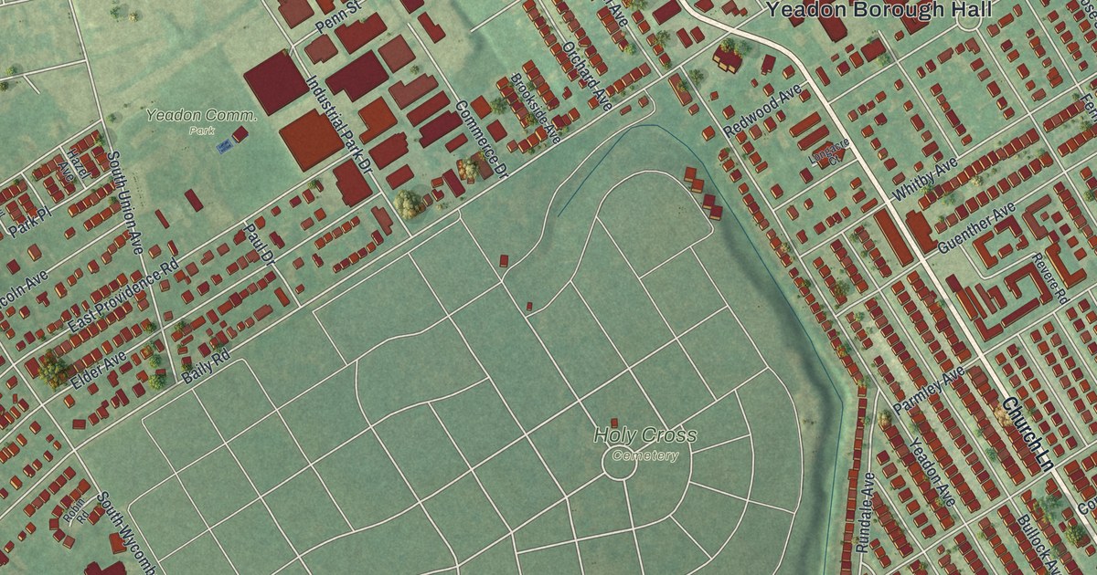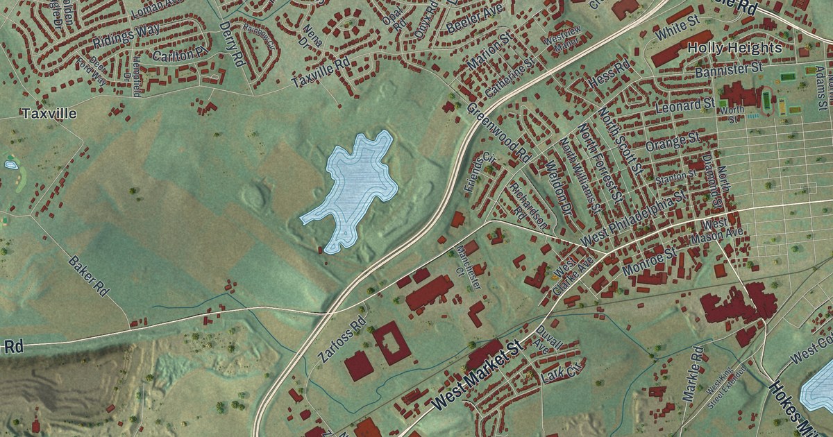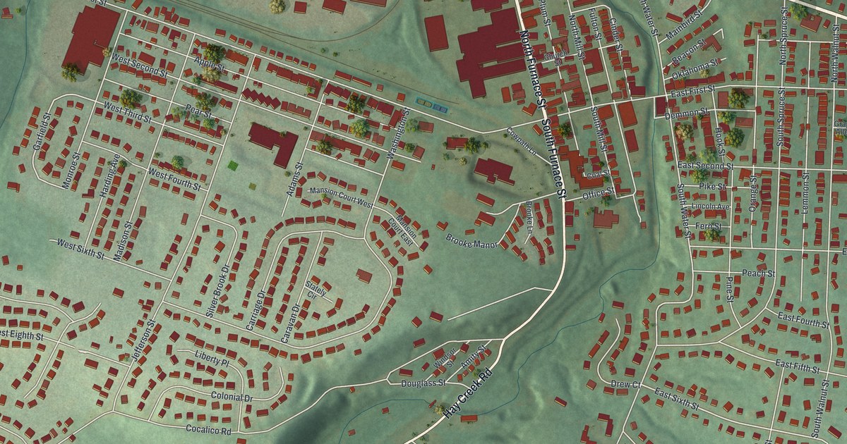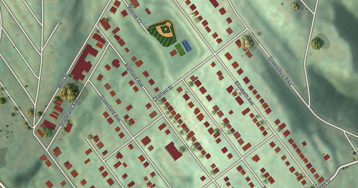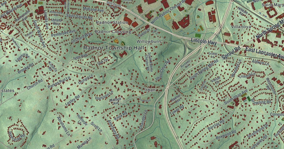
If you grew up in Wayne, live near Ithan or Villanova, or still have family in Radnor Township, this map gives you a lot to find. It's a modern aerial view of Radnor Township in Delaware County, Pennsylvania, made from modern data and given a vintage look. More than 21,000 buildings are drawn in dark red on soft green hills. The view runs from Wayne and Saint Davids across the upper part of the print to Skunk Hollow at center left and Fox Fields near the lower right.
From Wayne along Lincoln Highway to Sproul Road
Start in Wayne, in the upper-left part of the print. Lincoln Highway runs east from here, and parts of it are printed as East Lancaster Avenue. Louella Avenue drops south from the highway through Wayne. Follow the highway east past Saint Davids. Just below it, Iven Avenue passes Radnor Station, Radnor Crossing and Radnor Township Hall. Keep going east to Villanova. Upton sits just above the highway, and Saint Marys Seminary is to the right.
From Villanova, Sproul Road heads south to Ithan, where Conestoga Road crosses it. Conestoga Road runs east to Garrett Hill and Montrose Village. Back at Ithan, Newtown Road heads west toward The Willows. Darby Paoli Road runs across the lower left, past Skunk Hollow. Fox Fields sits near the bottom right, along Foxfields Road. Many of the roads are named, and each red shape is a building, so zoom in on the preview and look for yours.
Wayne's 1895 swimming pool
Wayne once had one of the country's largest open-air, in-ground swimming pools. A Pennsylvania historical marker says the Wayne Natatorium opened in 1895 and measured 500 by 100 feet. Its spring-fed water hosted National Swimming Association championships. Women could use the pool, though they could not compete in those events. The pool closed in 1903 after droughts and a shift toward other kinds of recreation. Find Wayne near the upper-left part of the map, then follow Louella Avenue south from Lincoln Highway.
The Radnor map, from Wayne to Fox Fields
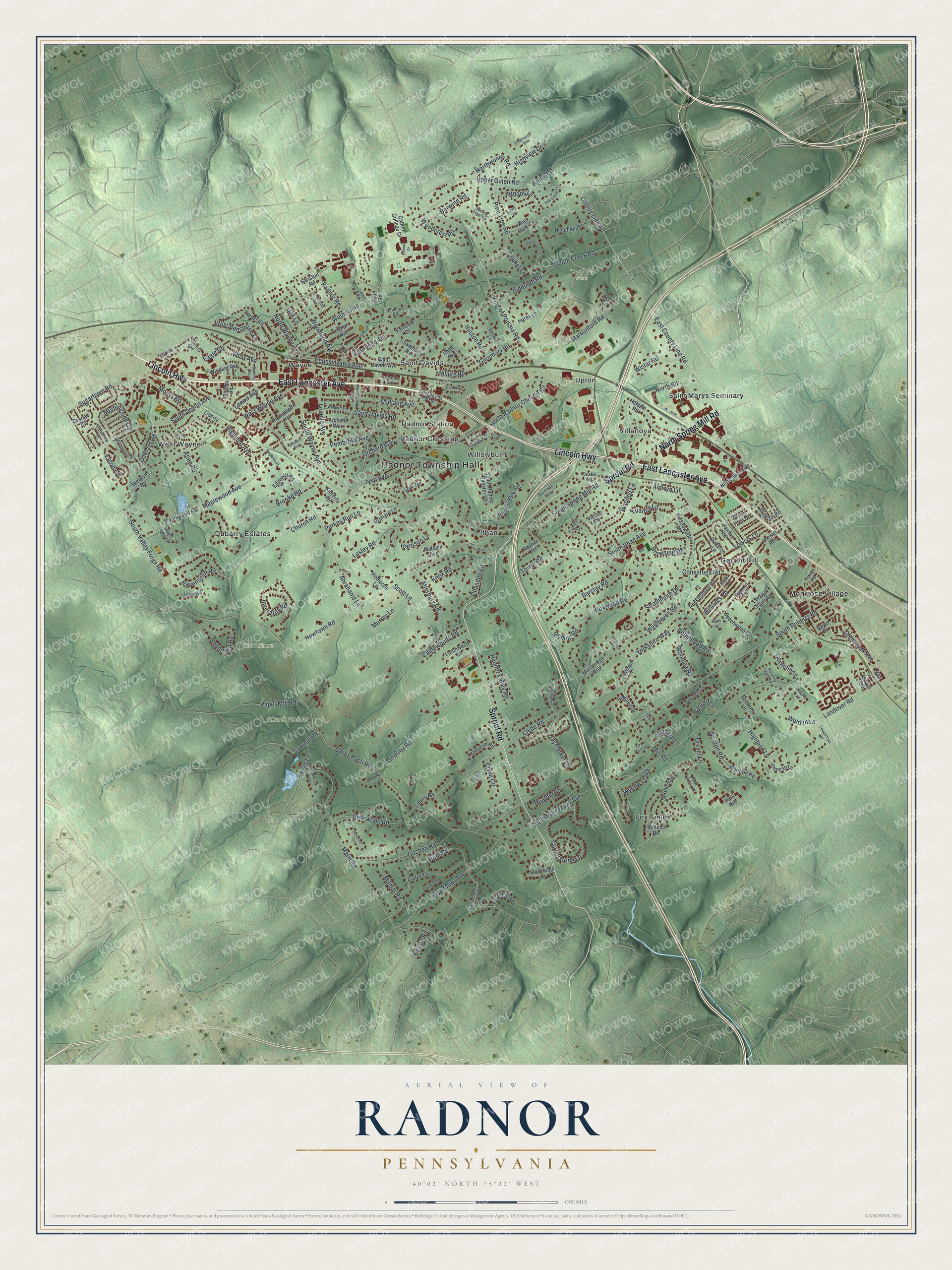
Created by KNOWOL in 2026, this map of Radnor fits an office, a den or a front hall. The shaded hills come from USGS elevation data, and the buildings are drawn in dark red. The title panel reads "Aerial View of Radnor, Pennsylvania," with the coordinates 40°02' North, 75°22' West and a one-mile scale bar.
It's a thoughtful gift for someone who grew up in Wayne, caught the train at Radnor Station, or moved away and misses Lancaster Avenue. Open the preview, zoom in and find the streets you know. See sizes and frames for the Radnor map.