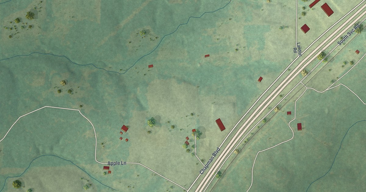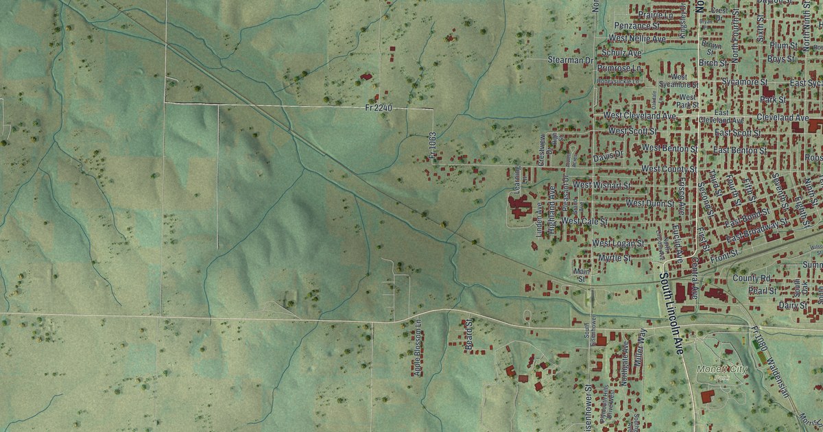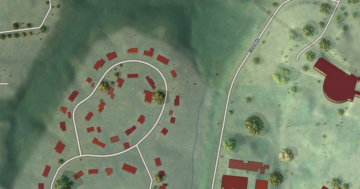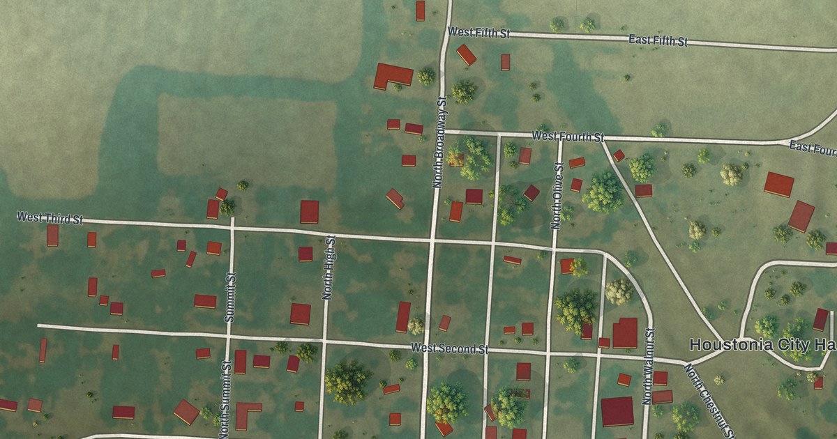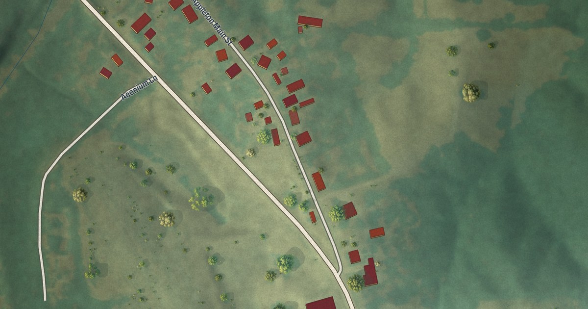
If you have family in Old Appleton, this print brings home into view. It's a modern aerial view of Old Appleton in Cape Girardeau County, Missouri, made with modern data and a vintage feel. Red buildings stand among green fields, pale roads and broad creek bends.
Appleton Main Street and Old Appleton's Early Mail
On this map you'll find Appleton Main Street, South Highway 61, Aeonium Lane, and more. Each red shape is a building, so zoom in on the preview and look for yours.
The State Historical Society of Missouri's place-name file records a post office here before 1876. The Old Appleton Bridge, which carries Main Street over Apple Creek, was added to the National Register of Historic Places in 2009. On this modern view, you can pick out the buildings along Appleton Main Street and the open ground around them.
Old Appleton's Bridge, Creek and Main Street at Home
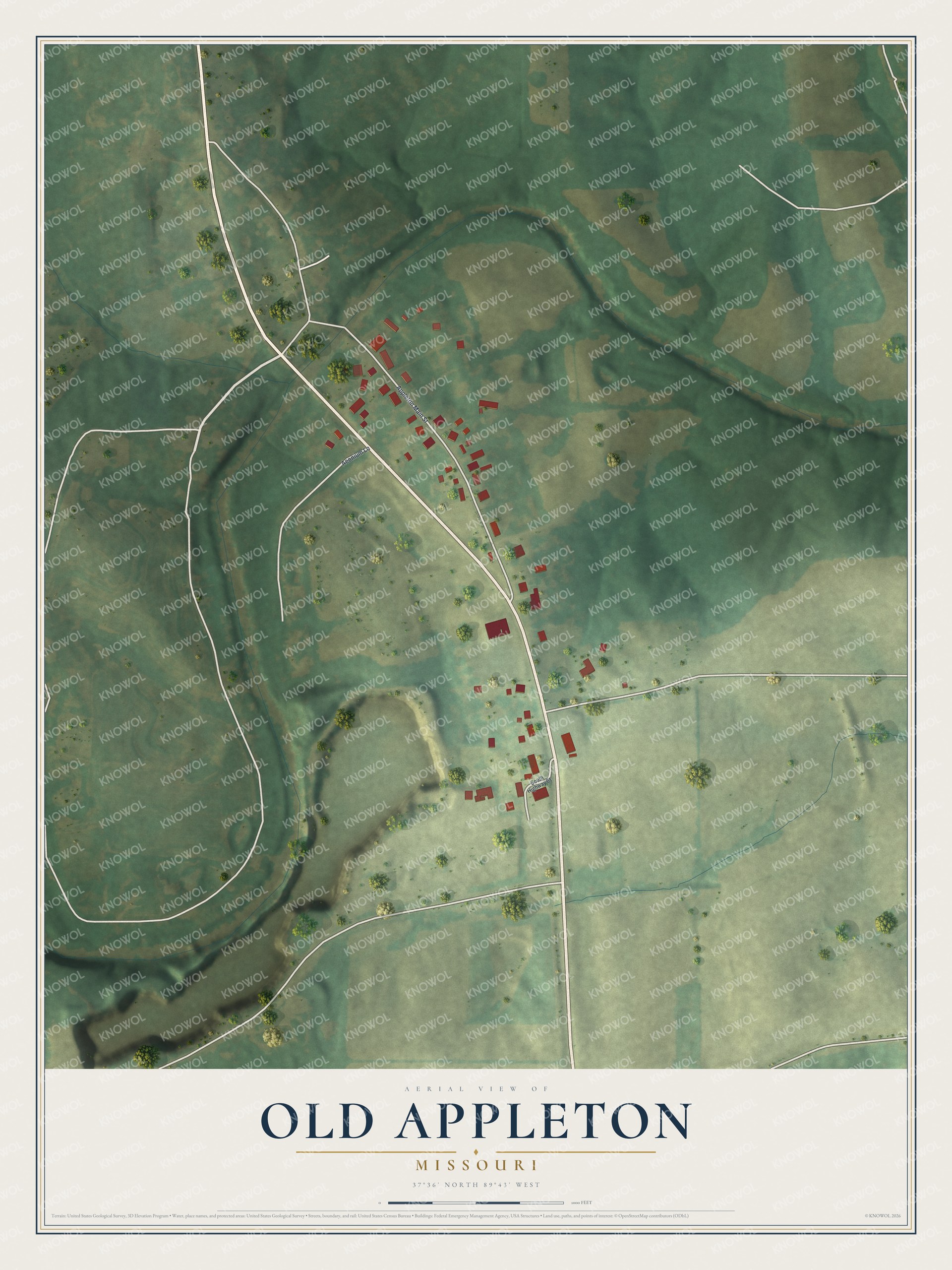
Created by KNOWOL in 2026, the print pairs soft green land with red buildings and pale roads. A thin border surrounds the view. The cream title panel reads AERIAL VIEW OF, OLD APPLETON, MISSOURI, and 37°36' NORTH 89°43' WEST.
It suits a living room, hallway or home office. It's a gift for family with ties to Appleton Main Street, including someone who's moved away. Open the preview and take a closer look at home. See sizes and frames for the Old Appleton map.