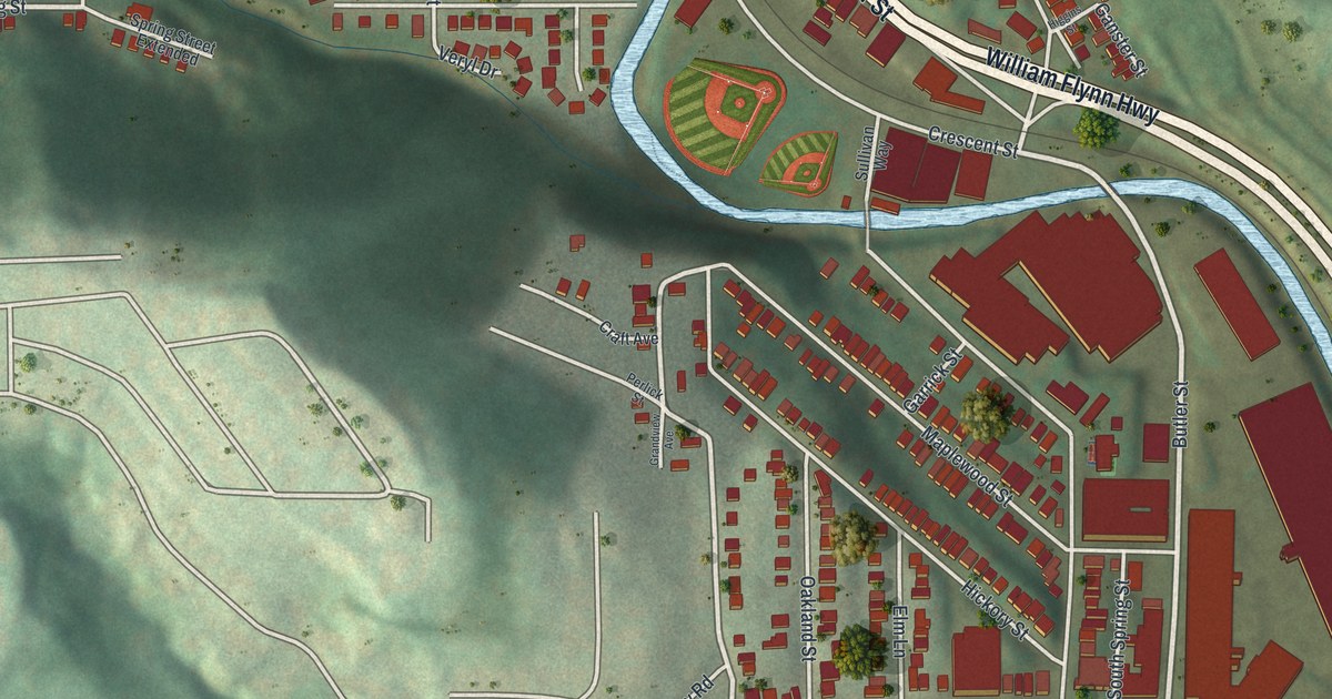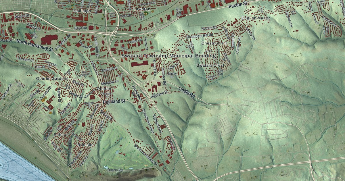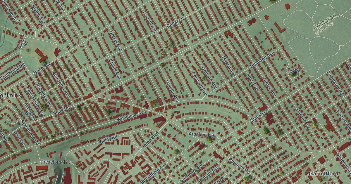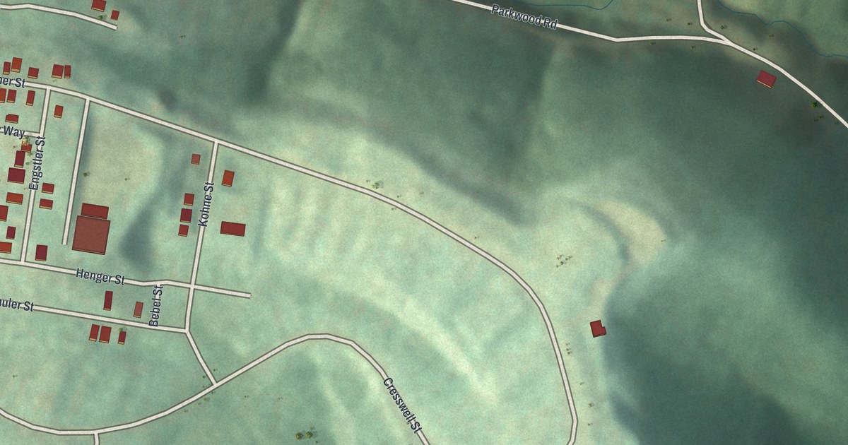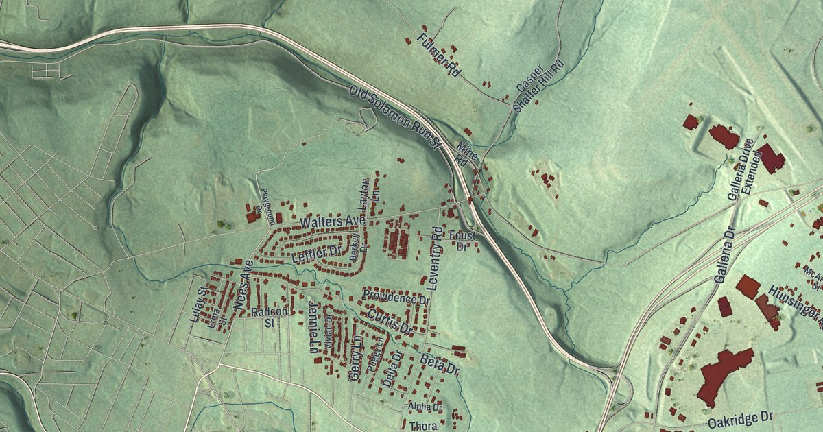
If you grew up in Richland, look for your family's street on this print. It's a modern aerial view of Richland in Cambria County, Pennsylvania, made with modern data and a vintage feel. Red building shapes gather along Scalp Avenue and around Belmont. Green hills and shaded hollows fill the spaces between the roads.
Scalp Avenue, Belmont and the hills of Richland
On this map you'll find Scalp Avenue, Bedford Street, Elton Road, Eisenhower Boulevard, Schoolhouse Road, Galleria Drive, Solomon Run Road, Airport Road, Belmont, Krings, Walsall, Ingleside, Number Thirty-Seven, and more. Each red shape is a building, so zoom in on the preview and look for yours.
The Census Bureau lists this Richland as a township in Cambria County. The 2020 census counted 12,233 people here. The print gives you a broad view of its setting. Tight rows of buildings around Belmont give way to green slopes. Larger red shapes stand among the streets near Scalp Avenue. Near the bottom, Number Thirty-Seven has its own cluster of streets and buildings, and Richland Cemetery is printed along the bottom edge. You can pick out those small groups while taking in the hills around them.
A Richland print with Belmont and Krings
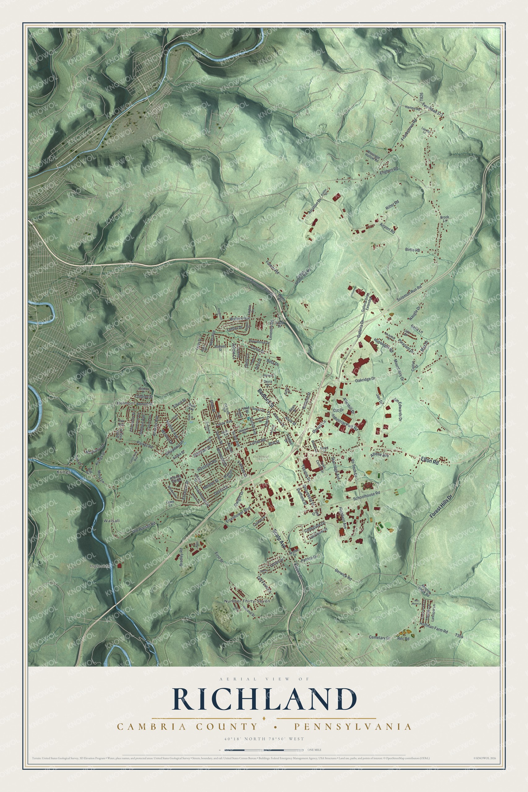
Created by KNOWOL in 2026, this print pairs green shaded hills with red buildings and fine road lines. A cream border surrounds the view. The title panel reads AERIAL VIEW OF RICHLAND, CAMBRIA COUNTY, PENNSYLVANIA, with 40°18' NORTH 78°50' WEST below.
Hang it in a living room, office or entryway. It's a gift for someone who grew up in Belmont and wants to keep home close. Open the preview to find a familiar street and see the full view. See sizes and frames for the Richland, Cambria County map.