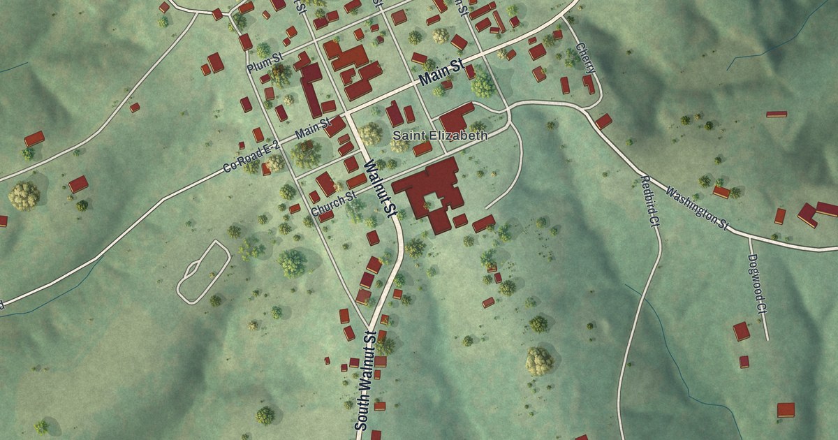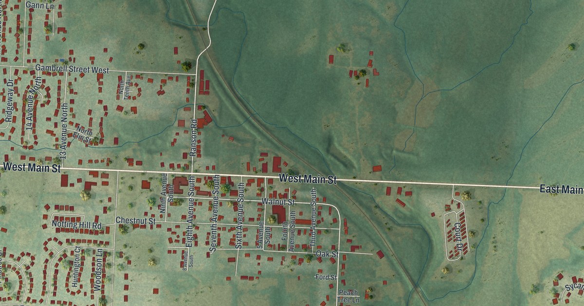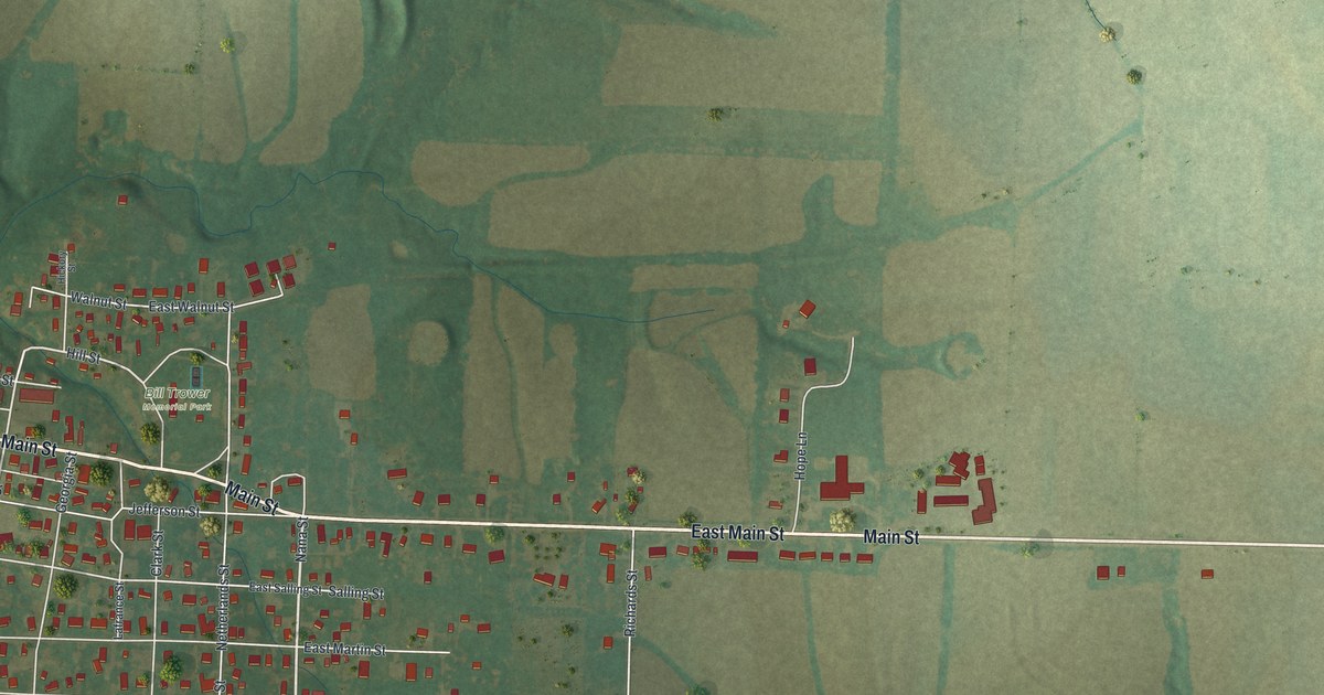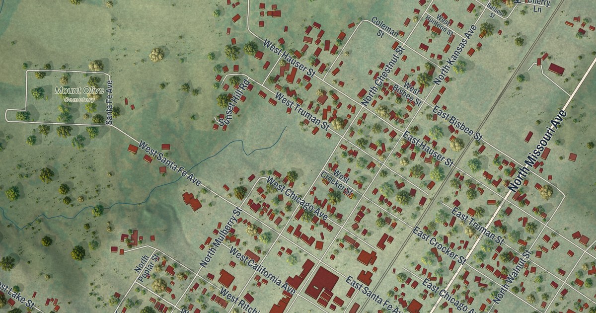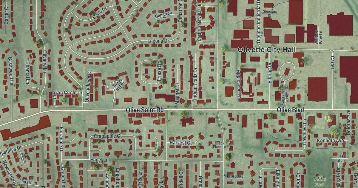
If you grew up off Olive Boulevard or spent summer days at Stacy Park, this map is a piece of home. It's a modern aerial view of Olivette, Missouri, drawn from modern data with a vintage feel. The city is part of St. Louis County. Olive Boulevard crosses the middle of the sheet, with Olivette City Hall just above it. Long rows of red buildings line the top edge, and quiet streets curl through the neighborhoods below. A rail line curves down the right side.
Olive Boulevard, City Hall and Four Parks
On this map you'll find Olive Boulevard, Olive Saint Road, Olivette City Hall, Indian Meadows Park, Stacy Park, Warson Park, Villa Park, Dielman Road, North Price Road, Old Bonhomme Road, Warson Road, Delmar Boulevard, Baur Boulevard, Olivette Drive, and more. Each red shape is a building, so zoom in on the preview and look for yours.
Olivette's Post Office on the Rock Island Railroad
Olivette had a post office on the railroad for a few years. The State Historical Society of Missouri keeps an old file of Missouri place names. It says Olivette's post office opened in 1910 and closed in 1915. The office sat on the Chicago, Rock Island and Pacific Railroad, in the middle of Central Township. That line's name still shows up today. Look near the top of the map for Dielman Rock Island Industrial Drive. A long row of red buildings runs beside it.
A Map of Olivette, From Warson Park to Villa Park
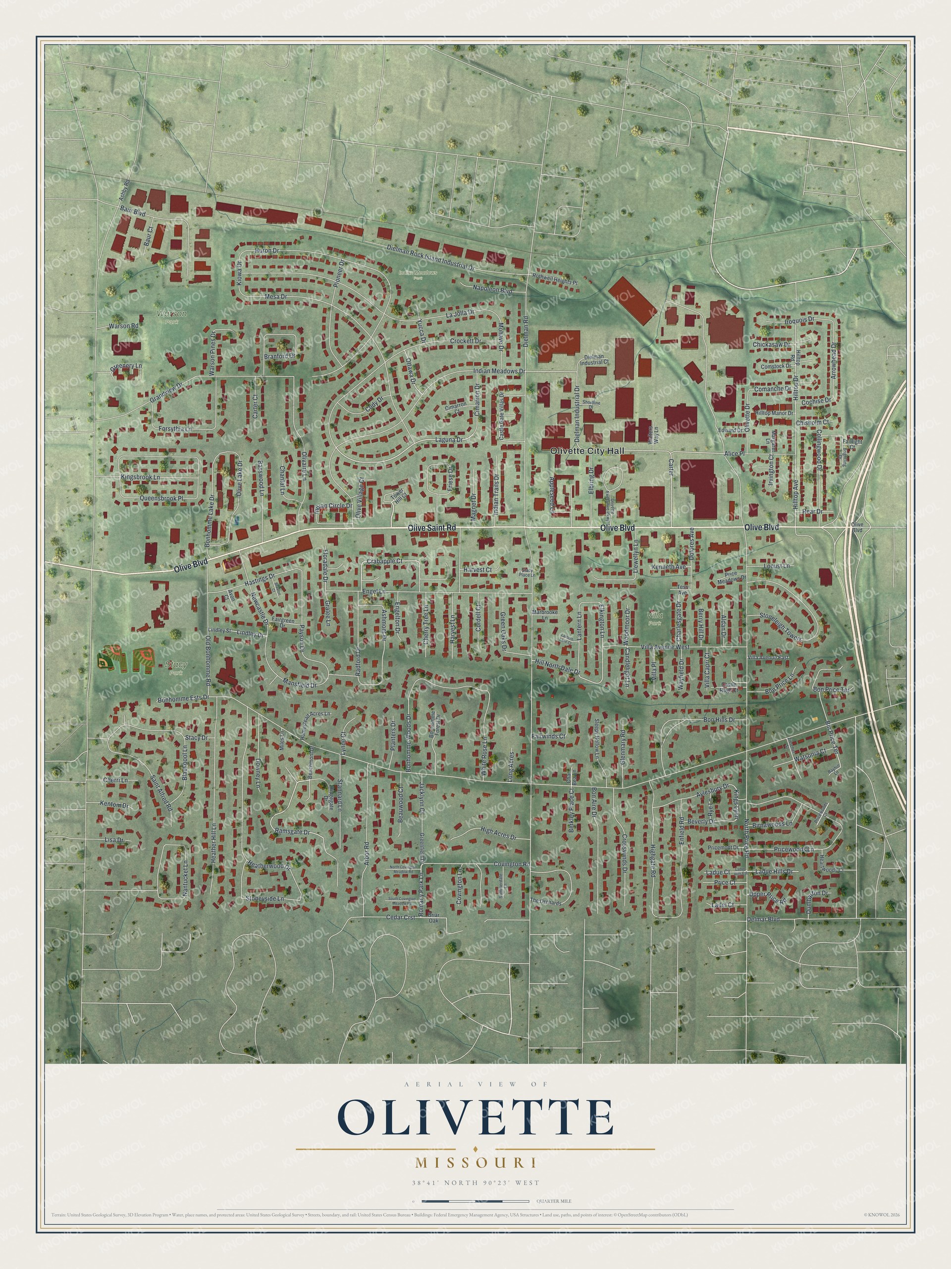
Created by KNOWOL in 2026, this print shows Olivette from above in soft greens, with every building in deep red and the land's gentle rises shaded in. The title panel reads Aerial View of Olivette, Missouri, with the coordinates 38°41' North 90°23' West.
It fits a living room, a hallway or a home office. It's a good gift for someone who grew up near Indian Meadows Park or who moved away from St. Louis County. Open the preview and find your street. See sizes and frames for the Olivette map.