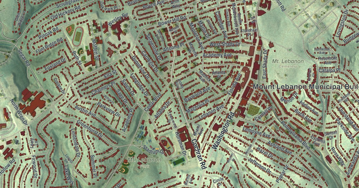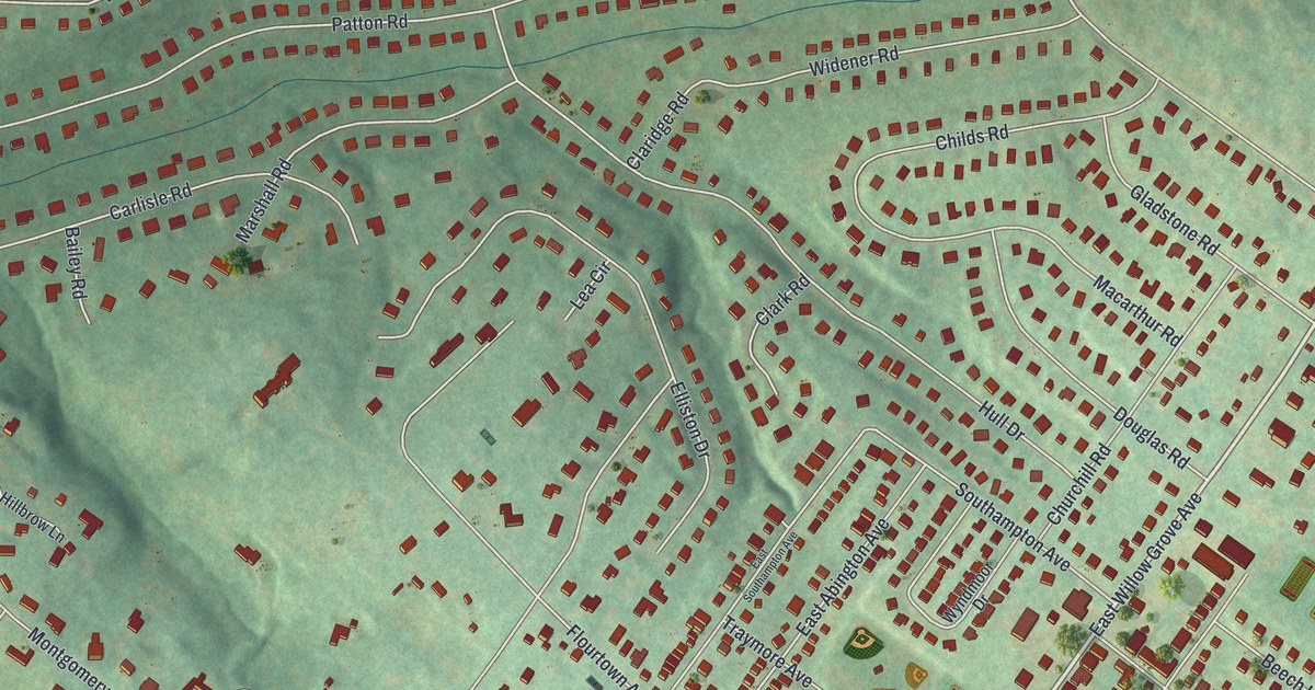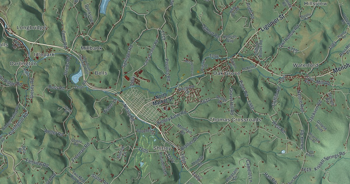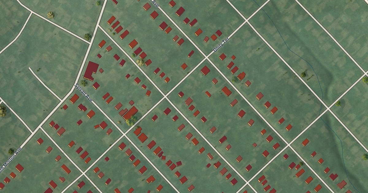
If you grew up in Rutledge, look for your old block here. It's a modern aerial view of Rutledge in Delaware County, Pennsylvania, made with modern data and a vintage feel. Red building shapes line a close grid of pale streets. Green ground fills the spaces around them.
Rutledge Avenue, Swarthmore Avenue and the terraces
On this map you'll find Swarthmore Avenue, Rutledge Avenue, South Morton Avenue, Linden Avenue, President Avenue, Sylvan Avenue, Unity Terrace, Waverly Terrace, Melrose Terrace, and more. Each red shape is a building, so zoom in on the preview and look for yours.
Rutledge is home to 782 people (2020 Census), and every one of its blocks fits on one sheet. Unity Terrace, Waverly Terrace and Melrose Terrace are printed on the map, so look for them among those blocks.
A gift for anyone who grew up on Rutledge Avenue
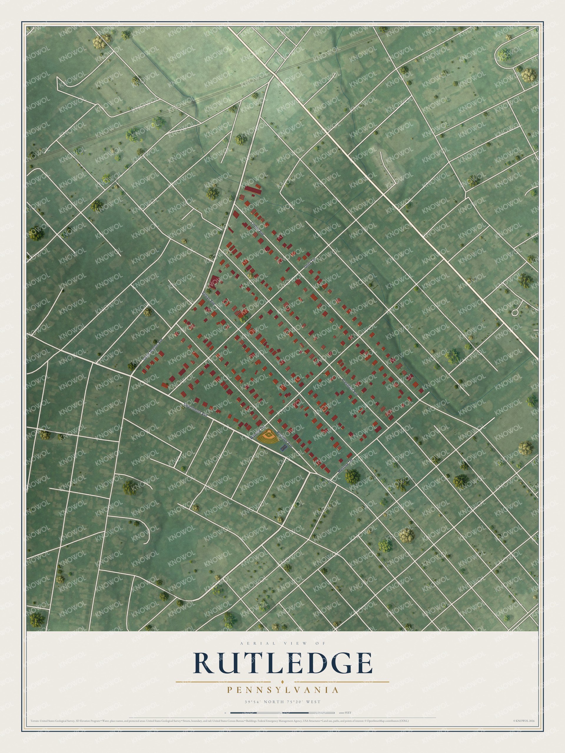
Created by KNOWOL in 2026, the print pairs muted green ground with red buildings and fine, pale streets. A cream border surrounds the view. The title panel reads AERIAL VIEW OF RUTLEDGE, PENNSYLVANIA, with 39°54' NORTH 75°20' WEST below.
It's a good fit for a living room, home office or entryway. Give it to someone who grew up on Rutledge Avenue and now lives away. Open the preview to find their block and take a closer look at yours. See sizes and frames for the Rutledge map.