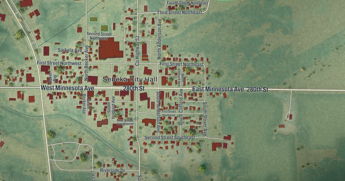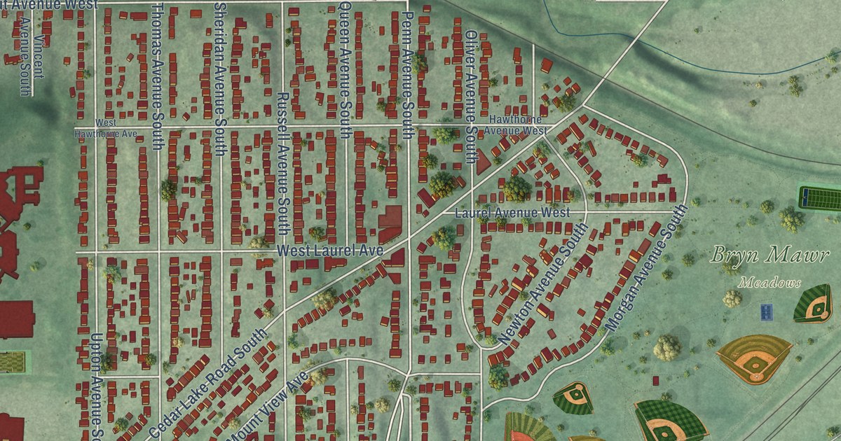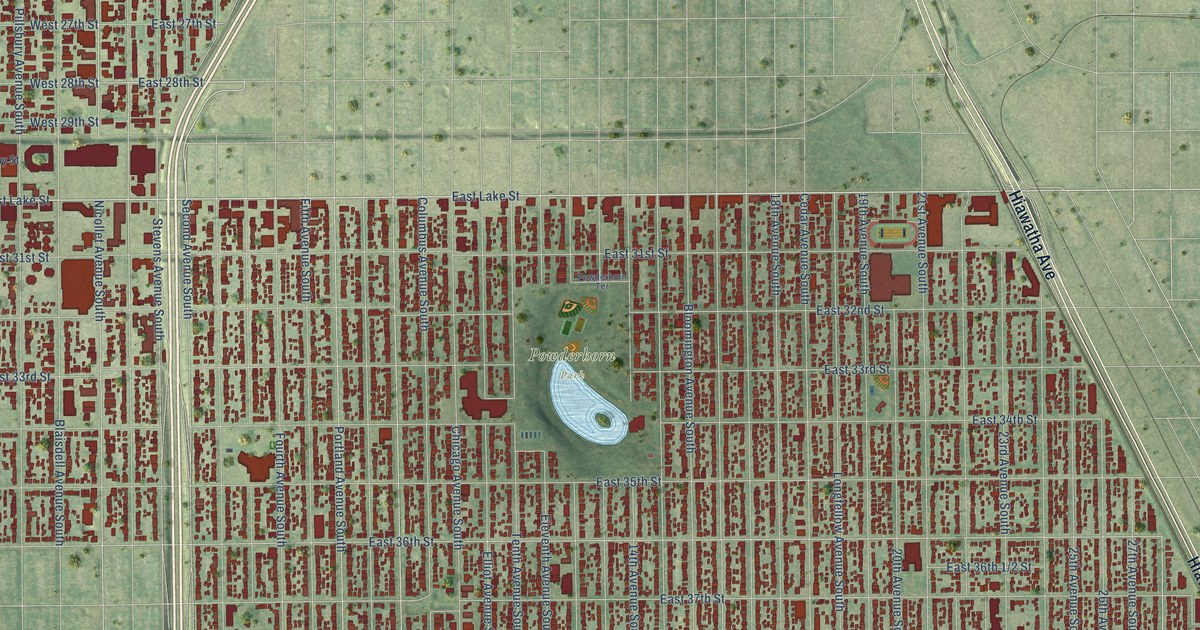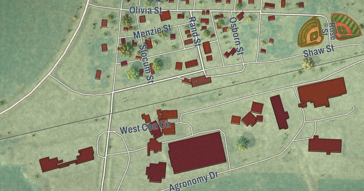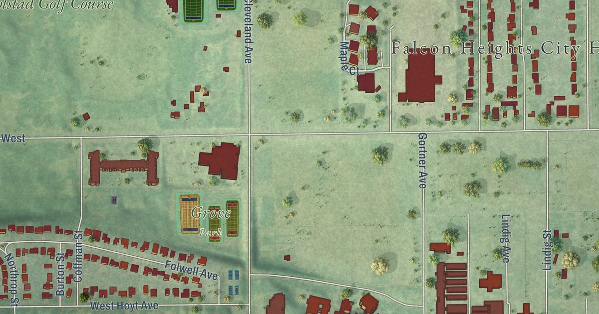
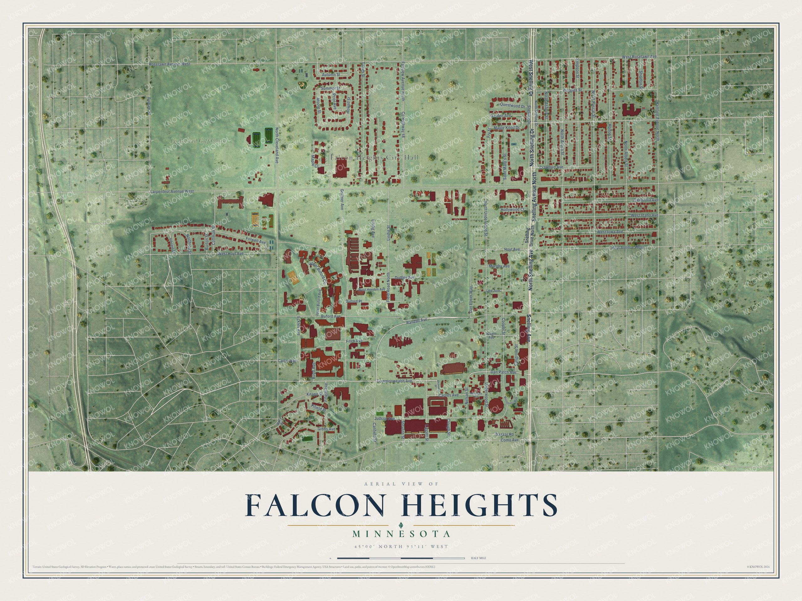
This beautifully detailed map of Falcon Heights, Minnesota was created in 2026 using aerial imagery combined with modern topographical, census, street and landmark data. It’s a one-of-a-kind view of Falcon Heights that combines accurate data with a vintage aesthetic. The map shows every building in its true location, many of the roads carry their names, and the shaded topographic relief shows the shape of the land.
Explore an aerial view of Falcon Heights, Minnesota
On the map you’ll find Falcon Heights City Hall, Grove Park, University of Minnesota Field Plots, The Lawn, Breck Woods, Mural Park, and Les Bolstad Golf Course, along with North Snelling Avenue, Snelling Avenue North, Snelling Avenue, North Snelling Drive, West Snelling Drive, and more. If you look closely you can even find your house accurately drawn in its correct location. Zoom in on the preview to look for yours.
Did you know this piece of Falcon Heights, Minnesota history?
From the Minnesota Historical Society: "By the 1880s, the Minnesota State Agricultural Society had decided that the fair needed a permanent home. In 1885, Ramsey County donated land from the county poor farm as a site for the fair. Later that year, the first fair was held on the new fairgrounds situated between St. Paul and Minneapolis, in what would become Falcon Heights. The site ushered in a new era for the Minnesota State Fair."
Take a closer look at the Falcon Heights map
Street and place names on the Falcon Heights, Minnesota map
These names are printed on the map of Falcon Heights, Minnesota.
Places: Falcon Heights City Hall, Grove Park, The Lawn, Mural Park and Les Bolstad Golf Course.
Streets and roads: North Snelling Avenue, Snelling Avenue North, Snelling Avenue, North Snelling Drive, West Snelling Drive, Commonwealth Avenue, Dan Patch Avenue, Maple Court, Randall Avenue, West Roselawn Avenue, Autumn Street, Garden Avenue.
More street names, A to Z
Bazaar Road, Boyd Avenue, Buford Avenue, Buford Place, Burton Street, California Avenue, Canfield Street, Carnes Avenue, Carter Avenue, Chambers Street, Clough Street, Coffman Street, Como Avenue, Cooper Street, Cosgrove Street, County Highway 48, Crawford Avenue, Dan Elmer Way, Dudley Avenue, Eckles Avenue, Fairview Avenue North, Field Road North, Fifield Avenue, Fifield Place, Fitch Avenue, Folwell Avenue, Fry Street, Fulham Street, Gibbs Avenue, Gortner Avenue, Hamline Avenue North, Hollywood Court, Holton Street, Howell Street, Hoyt Avenue, Hoyt Avenue West, Judson Avenue, Knapp Street, Larpenteur Avenue West, Lee Avenue, Liggett Street, Lindig Avenue, Lindig Street, Maple Knoll Drive, Minnesota Avenue, Minnesota Way, Moore Street, Murphy Avenue, Nelson Street, North Albert Street, North Arona Street, North Asbury Street, North Cleveland Avenue, North Pascal Street, Northrop Street, North Underwood Street, Prior Avenue, Questwood Drive, Ray Place, Roselawn Avenue West, Ruggles Street, Saint Mary's Street, Sheldon Street, Simpson Street, Snelling Drive, Snelling Drive North, Stevens Street, Summer Street, Tatum Street, Underwood Street, Upper Buford Avenue, Upper Buford Circle, Vincent Street, West Hendon Avenue, West Hoyt Avenue, West Idaho Avenue, West Iowa Avenue, Wright Avenue.
See the Falcon Heights, Minnesota map on a wall
The Falcon Heights map as an 18 x 24 inch print in a black frame.

This beautifully detailed map of Falcon Heights makes an attractive addition to your office, library, or den, and it can even be used to teach children the geography and history of the area. It also makes a great gift for anyone who grew up in Falcon Heights or moved away. When you’re done exploring, click here to get your copy of the Falcon Heights map.