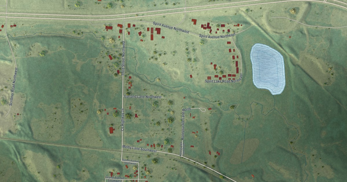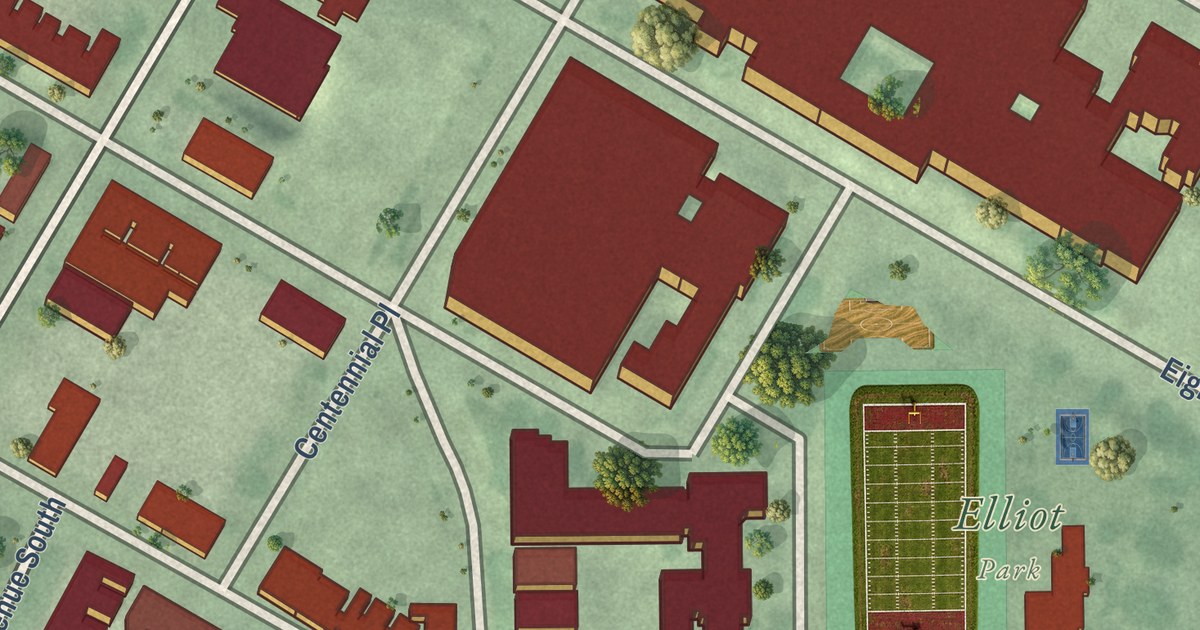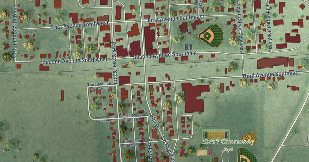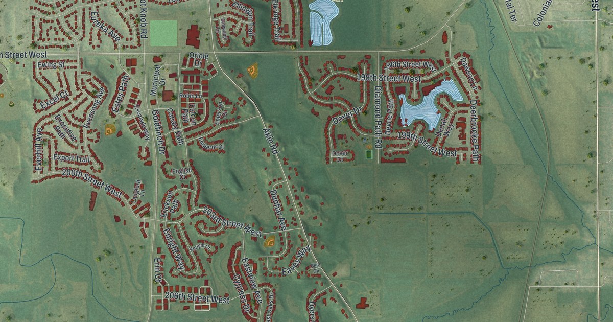
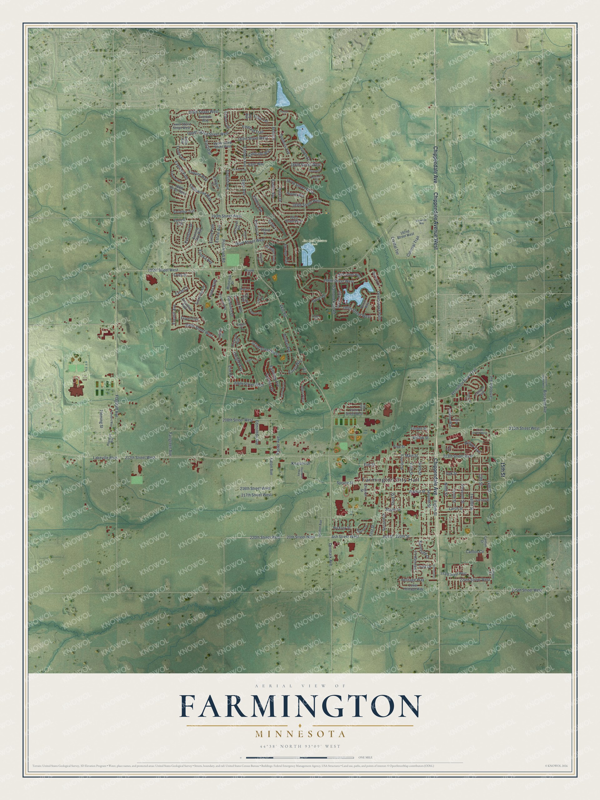
This beautifully detailed map of Farmington, Minnesota was created in 2026 using aerial imagery combined with modern topographical, census, street and landmark data. It’s a one-of-a-kind view of Farmington that combines accurate data with a vintage aesthetic. The map shows every building in its true location, many of the roads carry their names, and the shaded topographic relief shows the shape of the land.
Explore an aerial view of Farmington, Minnesota
On the map you’ll find Farmington City Hall and Jim Bell Preseve Park, along with Chippendale Avenue, Chippendale Avenue West, 15th Street, Ash Street, 20th Street West, 220th Street, Ash Street West, 220th Street West, 208th Street West, Larch Street, and more. If you look closely you can even find your house accurately drawn in its correct location. Zoom in on the preview to look for yours.
Did you know this piece of Farmington, Minnesota history?
From the National Register of Historic Places: "Built in 1880 on the busy corner of Third and Oak Streets in Farmington, the brick building replaced first-generation wooden stores destroyed in a disastrous fire in 1879."
Take a closer look at the Farmington map
Street and place names on the Farmington, Minnesota map
These names are printed on the map of Farmington, Minnesota.
Places: Farmington City Hall and Jim Bell Preseve Park.
Streets and roads: Chippendale Avenue, Chippendale Avenue West, 15th Street, Ash Street, 20th Street West, 220th Street, Ash Street West, 220th Street West, 208th Street West, Larch Street, 14th Street, Dunbury Avenue.
More street names, A to Z
13th Street, 180th Street West, 183rd Street West, 186th Street West, 187th Street West, 188th Street West, 189th Street West, 190th Street West, 191st Street West, 192nd Street, 192nd Street West, 193rd Street West, 195th Street West, 196th Street West, 198th Street West, 199th Street West, 200th Street West, 203rd Street West, 206th Street West, 207th Street West, 210th Street West, 211th Street West, 212th Street West, 213th Street West, 216th Street West, 217th Street West, 223rd Street West, 224th Street West, 225th Street West, Akin Circle, Akin Road, Biscayne Avenue, Biscayne Avenue West, Calhoun Court, Cambodia Avenue, Camden Path, Canary Path, Canton Circle, Canton Court, Capri Street, Catalina Way, Centennial Drive, Cloverleaf Way, Colonial Trail, Crystal Terrace, Cypress Drive, Dallas Avenue, Dawson Lane, Deerbrooke Path, Denali Way, Denmark Avenue, Denton Avenue, Devrie Path, Diamond Path Road, Division Street, Dover Court, Dover Drive, Dulaney Drive, Dulcimer Court, Duluth Street, Dunbar Avenue, Duncan Court, Dupont Way, Dushane Parkway, Dyers Pass, Dylan Drive, Easter Avenue, East Oaks Drive, Easton Avenue, Eastview Avenue, Eaton Avenue, Eaves Way, Echo Drive, Echo Lane, Echo Terrace, Edmonton Avenue, Egret Way, Eighth Street, Eldorado Way, Eleventh Street, Elgin Avenue, Elkridge Trail, Elk River Trail, Ellington Trail, Elm Street, Elmwood Circle, Ely Avenue, Embers Avenue, Embry Avenue, Embry Lane, Emerald Trail, Emerson Court, Emperor Court, Empire Trail, Enchanted Way, Encore Court, Englewood Way, English Avenue, English Court, Enhance Court, Enright Court, Enright Way, Erickson Path, Erin Court, Escalade Way, Esquire Way, Estate Avenue, Estes Path, Euclid Path, Euclid Street, Eureka Avenue, Evening Star Way, Evensong Avenue, Evenston Drive, Eventide Way, Everest Path, Everest Trail, Everhill Avenue, Ewing Street, Excalibur Trail, Excel Court, Executive Path, Exley Avenue, Exodus Avenue, Explorer Way, Export Trail, Fairgreen Avenue, Fairview Lane, Falcon Path, Fifth Street, First Street, Flagstaff Avenue, Flagstone Way, Flanders Way, Fleming Street, Fourth Street, Goldfinch Drive, Heritage Way, Hickory Street, Knutsen Drive, Lakeville Boulevard, Langford Lane, Linden Street, Locust Street, Lower 182nd Street West, Lower Heritage Way, Main Street, Maple Street, Municipal Drive, Ninth Street, Oak Street, Oriole Drive, Park Drive, Pilot Knob Road, Pine Place, Pine Street, Robin Lane, Second Street, Seventh Street, Sixth Street, Spruce Street, Sunnyside Drive, Tamarack Trail, Tenth Street, Third Street, Twelfth Street, Upper 182nd Street West, Upper 183rd Street West, Vermillion River Trail, Walnut Street, Westview Drive, Willow Street, Willow Trail.
See the Farmington, Minnesota map on a wall
The Farmington map as an 18 x 24 inch print in a black frame.

This beautifully detailed map of Farmington makes an attractive addition to your office, library, or den, and it can even be used to teach children the geography and history of the area. It also makes a great gift for anyone with Farmington roots. When you’re done exploring, click here to get your copy of the Farmington map.