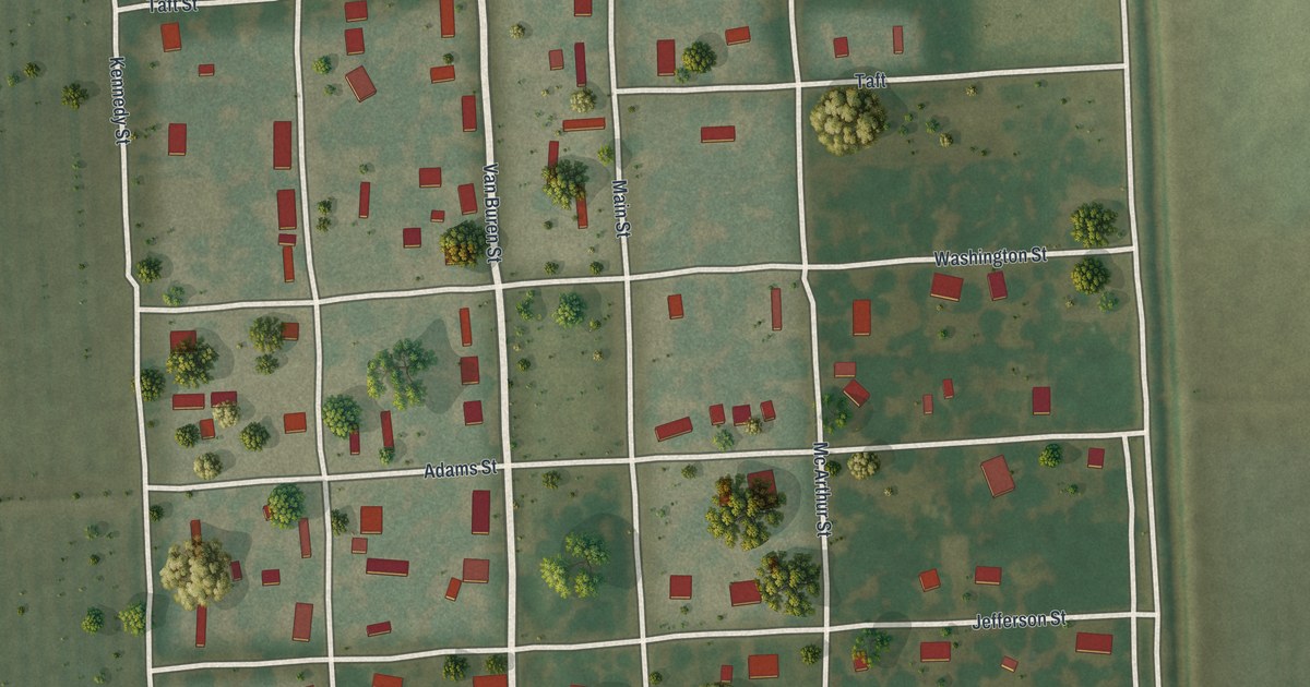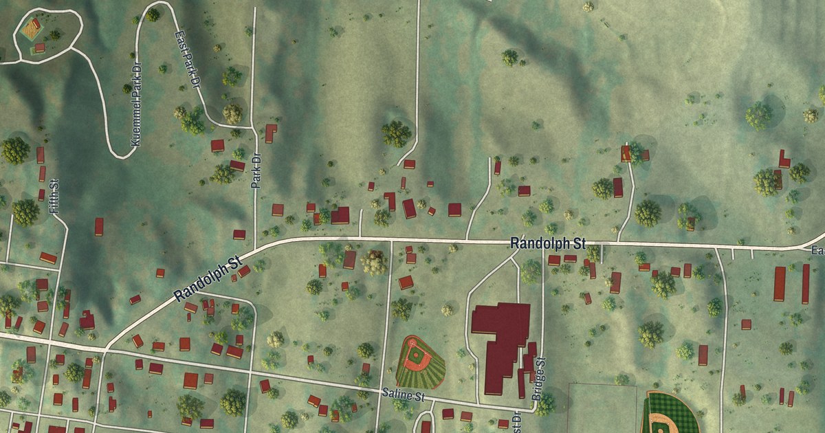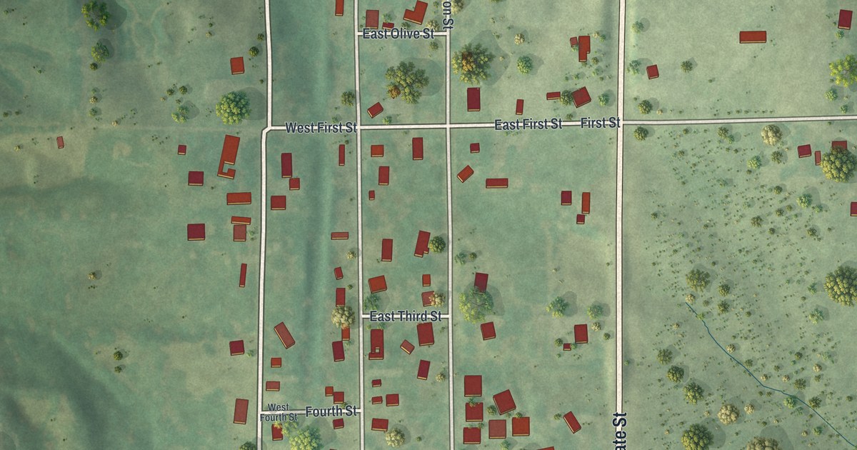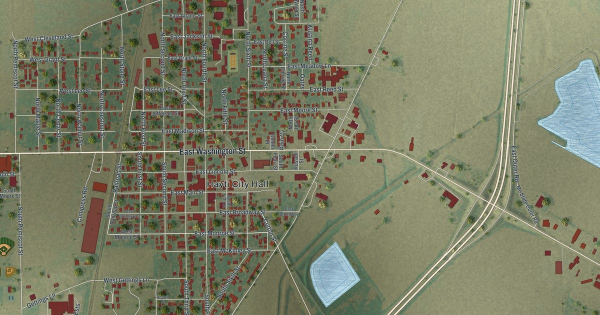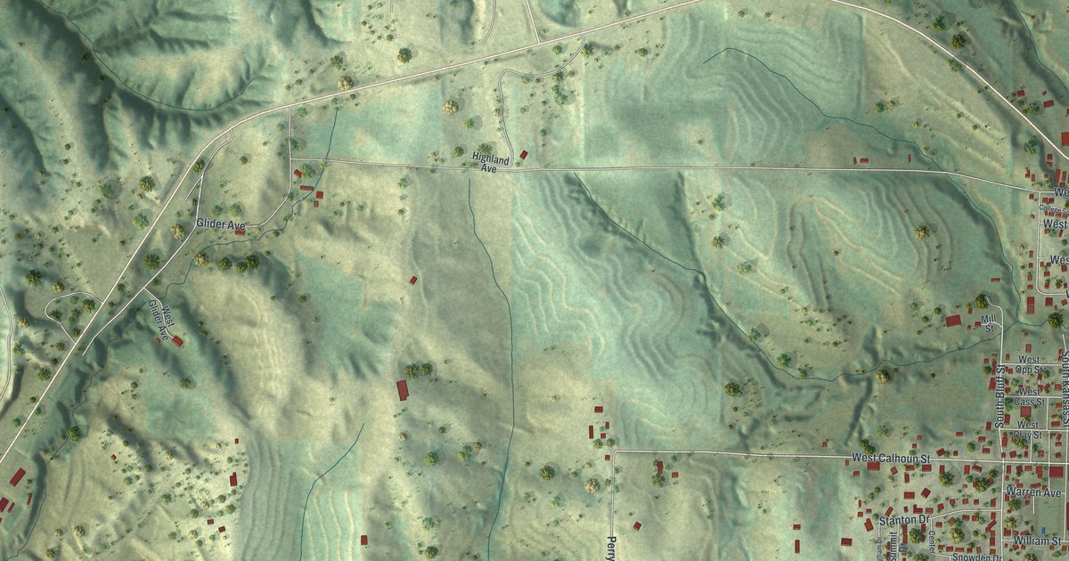
If you grew up in Rock Port, or you still drive down Main Street most days, this map shows the town you know. It's a modern aerial-style map of Rock Port in Atchison County, Missouri, built from public elevation, street and building data and given a vintage look. The town fills the right side of the sheet, a tight grid of streets and red buildings. To the west, deep green hills fold into long ridges and valleys. A wide highway runs down the far left edge.
Streets of Rock Port, from Main Street to Skyline Drive
On this map you'll find North Main Street, South Main Street, West Mill Street, East Mill Street, College Street, West Calhoun Street, East Cass Street, Independence Avenue, Skyline Drive, Highland Avenue, Depot Road, Perry Parkway, Rainbow Drive, Elmwood Cemetery, and more. Each red shape is a building, so zoom in on the preview and look for yours.
Nathan Meeks built a mill on Rock Creek in 1843
Rock Port's story includes a mill. In 1843, Nathan Meeks built a grist mill on Rock Creek. It stood on the land where Rock Port sits today, according to an 1882 county history. The book calls it the first grist mill. A grist mill ground grain into meal and flour. On the map, the hills and valleys around town are shaded in soft green.
Two Rock Port buildings on the National Register
Two buildings in town are listed on the National Register of Historic Places. The Atchison County Memorial Building stands at 417 South Main Street. It was listed in 1987. The John Dickinson Dopf Mansion, at 407 Cass Street, was listed in 1984.
Rock Port, from Main Street to Elmwood Cemetery
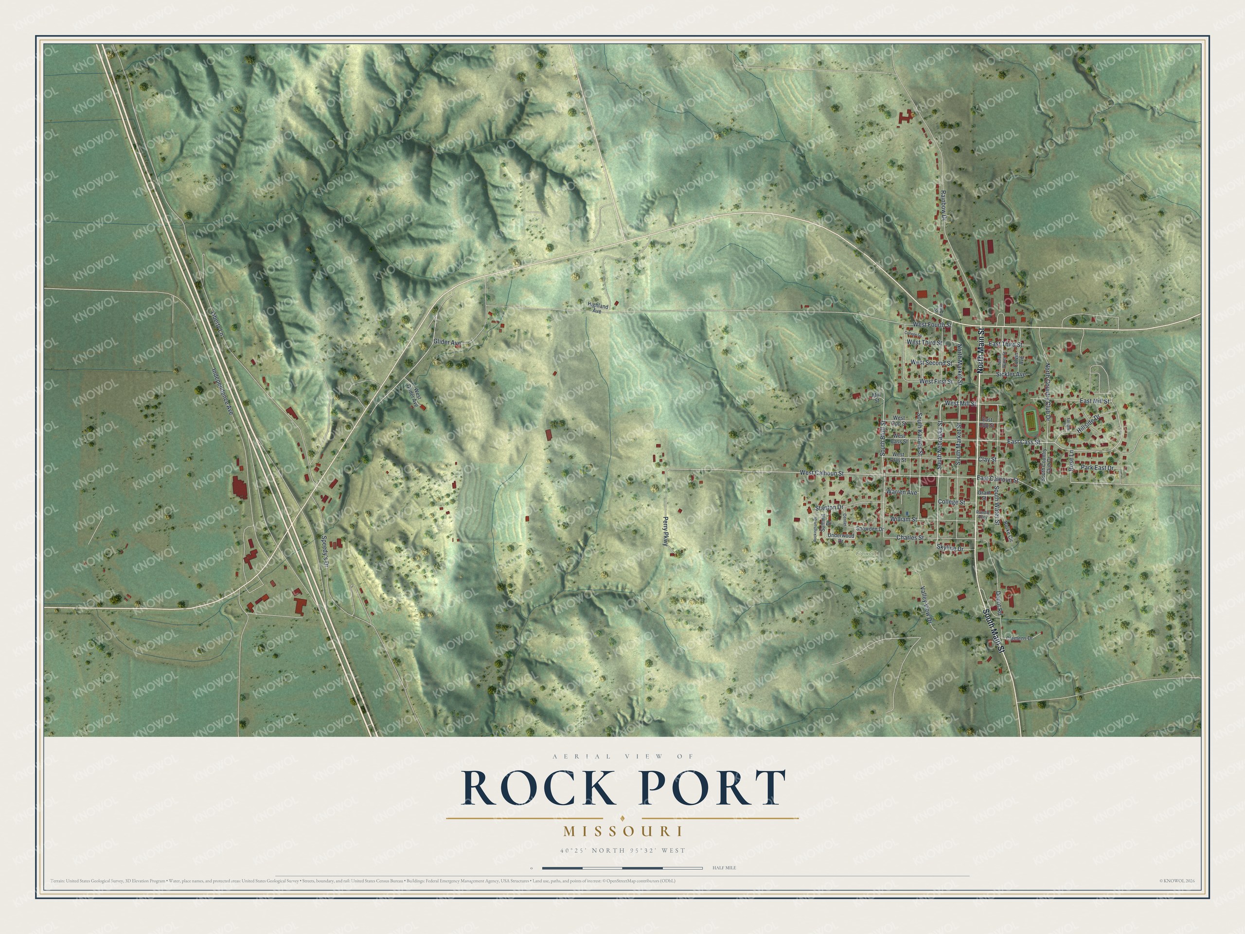
Created by KNOWOL in 2026, this print shows Rock Port in soft greens, with shaded hills, small red buildings and a tight grid of streets. The title panel at the bottom reads "Aerial View of Rock Port, Missouri" with 40°25' North 95°32' West printed below it.
It fits a living room, a hallway or a home office. It's a good gift for someone who moved away but still remembers Main Street, or for a family with roots near Elmwood Cemetery. Open the preview and find your street. See sizes and frames for the Rock Port map.