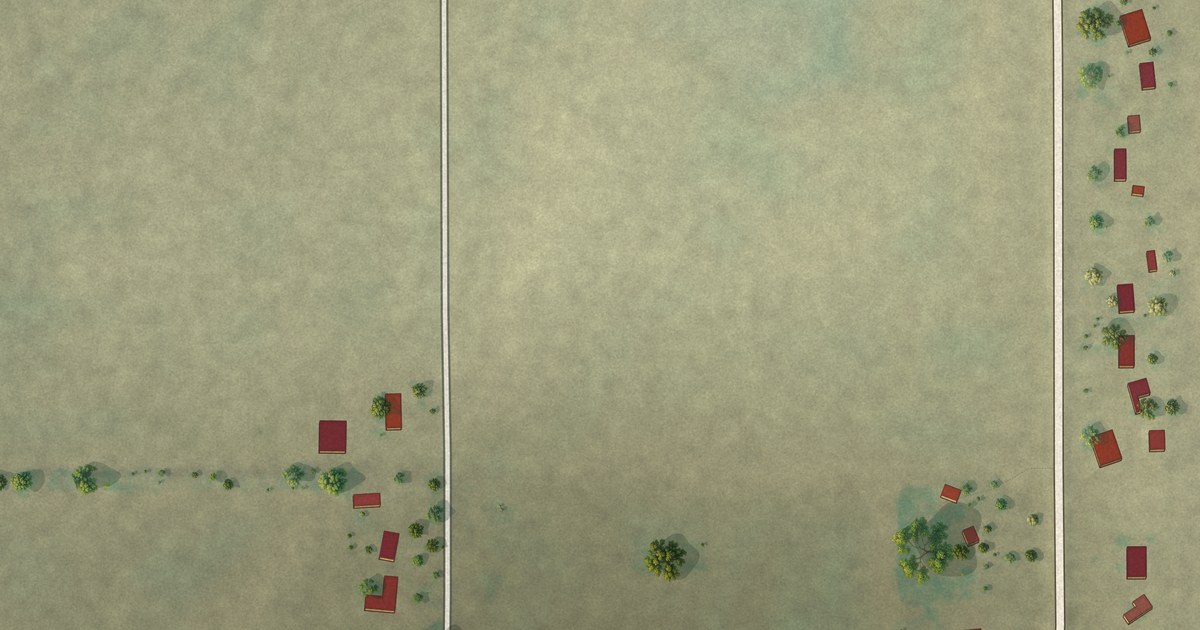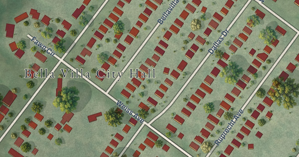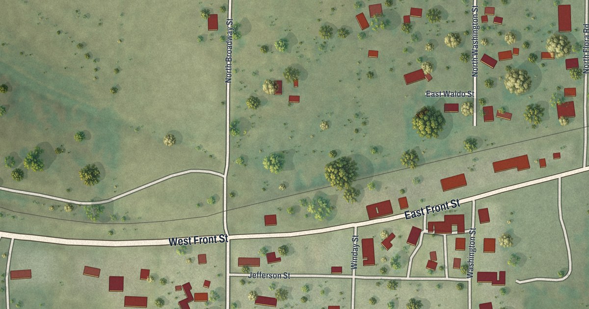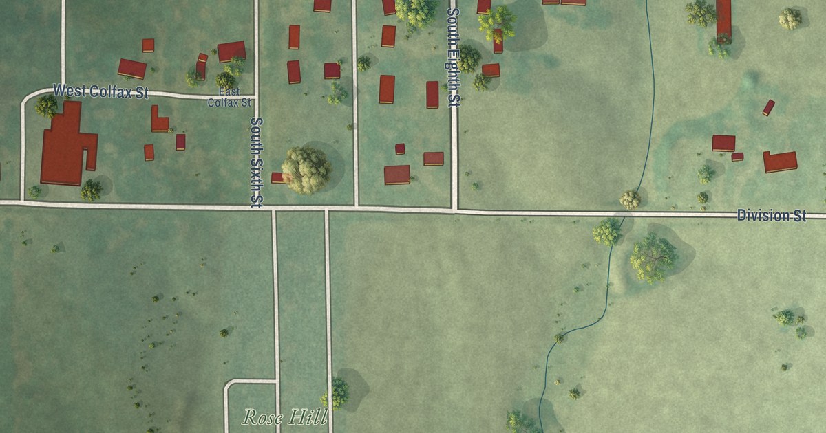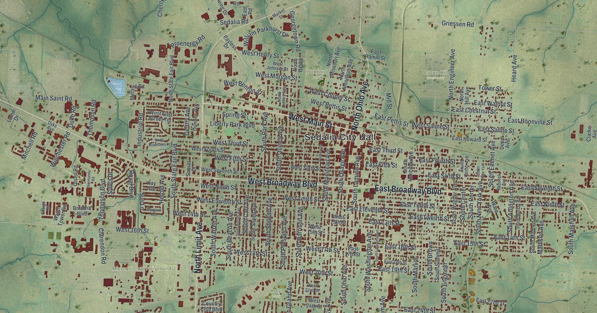
This beautifully detailed map of Sedalia, Missouri was created in 2026 using aerial imagery combined with modern topographical, census, street and landmark data. It’s a one-of-a-kind view of Sedalia that combines accurate data with a vintage aesthetic. The map shows every building in its true location, many of the roads carry their names, and the shaded topographic relief shows the shape of the land.
Explore an aerial view of Sedalia, Missouri
On the map you’ll find Sedalia City Hall, Clover Dell Park, Crown Hill Cemetery, Hubbard Park, Katy Park, and Missouri State Fairground, along with West Broadway Boulevard, North Ohio Avenue, West Main Street, North Limit Avenue, East Broadway Boulevard, West 18th Street, and more. If you look closely you can even find your house accurately drawn in its correct location. Zoom in on the preview to look for yours.
Did you know this piece of Sedalia, Missouri history?
In 1866 Sedalia stood at the end of the Missouri Pacific Railroad. That spring and summer, some 260,000 head of Texas cattle were driven north to it. From 1866 to 1874 the town was a railhead for cattle drives, with huge stockyards. Its economy stayed tied to the railroads for nearly a century.
Take a closer look at the Sedalia map
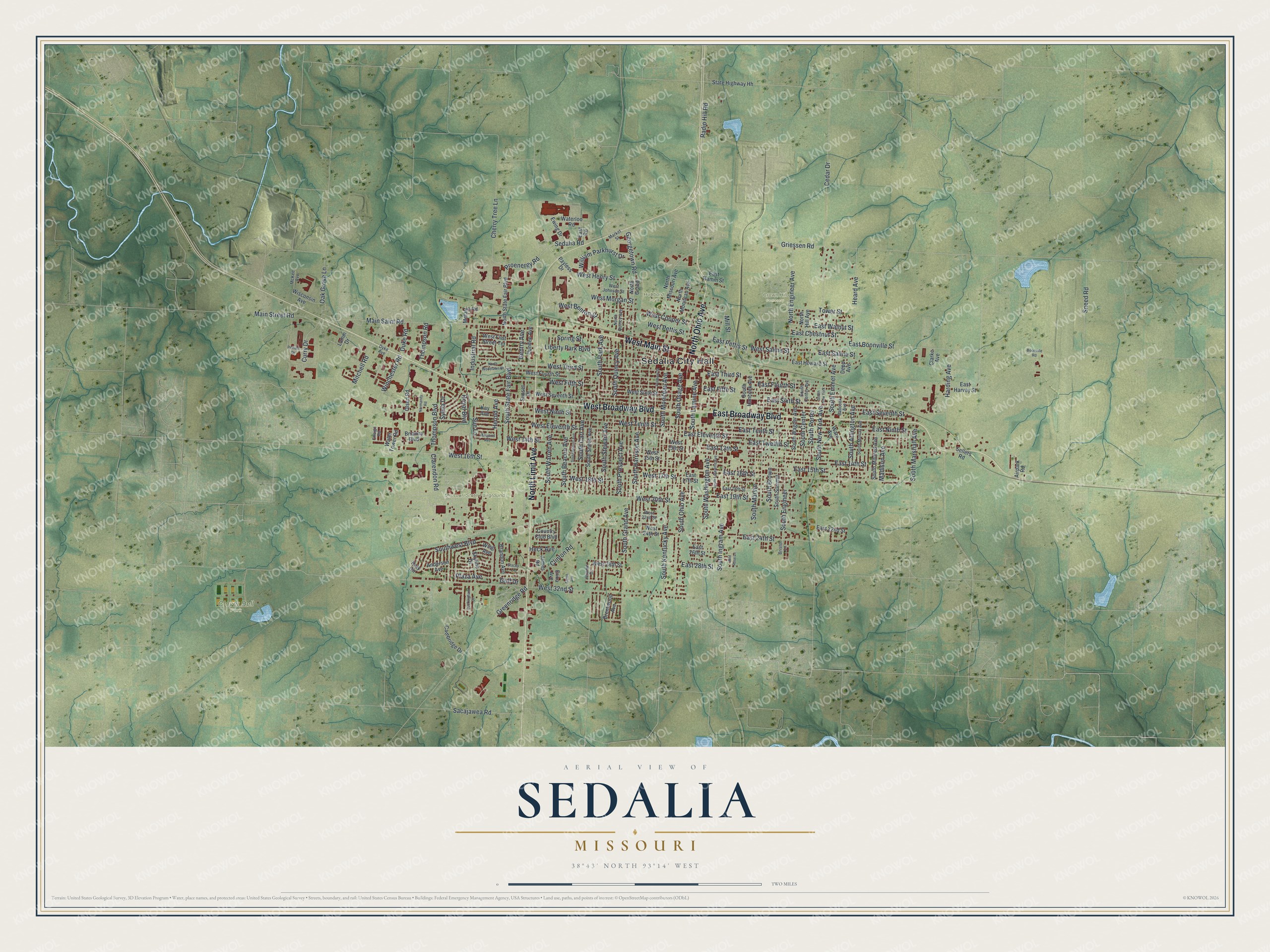
Street and place names on the Sedalia, Missouri map
These names are printed on the map of Sedalia, Missouri.
Places: Sedalia City Hall, Clover Dell Park, Crown Hill Cemetery, Hubbard Park, Katy Park and Missouri State Fairground.
Streets and roads: West Broadway Boulevard, North Ohio Avenue, West Main Street, North Limit Avenue, East Broadway Boulevard, West 18th Street, West 16th Street, South Moniteau Avenue, West 20th Street, South Ohio Avenue, Main Street Road, Proenergy Road.
More street names, A to Z
Aaron Avenue, Airpark Road, Anderson Avenue, Babcock Avenue, Boonville Road, Brandon Avenue, Brentwood Avenue, Brianna Boulevard, Bristol Lane, Buckingham Drive, Cambridge Drive, Cedar Drive, Cherry Tree Lane, Clarendon Road, Clarke Avenue, Clinton Road, Country Club Boulevard, Curry Drive, Depp Avenue, Duke Road, Dundee Avenue, Dyke Avenue, East 13th Street, East 14th Street, East 15th Street, East 16th Street, East 17th Street, East 18th Street, East 19th Street, East 22nd Street, East 24th Street, East 26th Street, East 28th Street, East Boonville Street, East Chestnut Street, East Eleventh Street, East Fifth Street, East Fourth Street, East Hamm Street, East Harvey Street, East Howard Street, East Ninth Street, East Pettis Street, East Road, East Saline Street, East Seventh Street, East Sixth Street, East Tenth Street, East Third Street, East Twelfth Street, East Walnut Street, Ensign Road, Erika Avenue, Ewing Drive, Gentry Avenue, Georgetown Road, Golf Drive, Greenridge Road, Griessen Road, Harding Avenue, Heard Avenue, Heck Avenue, Herold Avenue, Industrial Road, James Road, Jerome Drive, Katy Circle, Kay Avenue, Lamm Drive, Liberty Park Boulevard, Madison Avenue, Main Saint Road, Margaret Avenue, Market Street, McKee Avenue, Metallic Road, Mill Street, Mitchell Road, Normandy Road, North Engineer Avenue, North Grand, North Hill Avenue, North Missouri Avenue, North Moniteau Avenue, North Quincy Avenue, North State Fair Boulevard, North Woodlawn Drive, Oak Grove Lane, Olsen Road, Payless Drive, Pelham Drive, Plaza Avenue, Radio Hill Road, Royal Boulevard, Sacajawea Road, Sedalia Road, Sellers Road, Skyline Drive, Sneed Road, South Arlington Avenue, South Barrett Avenue, South Beacon Avenue, South Brown, South Carr Avenue, South Center, South Center Avenue, South Emmet Avenue, South Engineer, South Grand Avenue, South Hancock Avenue, South Harrison Avenue, South Ingram Avenue, South Kentucky Avenue, South Lafayette Avenue, South Lamine Avenue, South Marshall Avenue, South Marvin, South Mildred Avenue, South Murray Avenue, South New York, South New York Avenue, South Osage Avenue, South Park Avenue, South Porter, South Prospect Avenue, South Quincy Avenue, South Sneed Avenue, South State Fair Boulevard, South Stewart Avenue, South Summit, South Wagner Avenue, South Warren Avenue, South Washington Avenue, Southwest Boulevard, Spring Street, Stacey Lane, State Highway Hh, Sue Lane, Sunset Drive, Sylvia Drive, Thompson Boulevard, Thompson Road, Tower Street, Vermont Street, Ware Avenue, Waterloo Road, Water Tower Road, West 13th Street, West 14th Street, West 15th Street, West 17th Street, West 22nd Street, West 24th Street, West 28th Street, West 32nd Street, West Benton Street, West Cooper Street, West Eleventh Street, West Fifth Street, West First Street Terrace, West Fourth Street, West Henry Street, West Johnson Street, West Morgan Street, West Ninth Street, West Pettis Street, West Saline Street, West Seventh Street, West Sixth Street, West Tenth Street, West Third Street, Wild Rose Lane, William Parkhurst Drive, Winchester Road, Wing Avenue, Wisconsin Avenue.
See the Sedalia, Missouri map on a wall
The Sedalia map as an 18 x 24 inch print in a black frame.

This beautifully detailed map of Sedalia makes an attractive addition to your office, library, or den, and it can even be used to teach children the geography and history of the area. It also makes a great gift for anyone who grew up in Sedalia or moved away. When you’re done exploring, click here to get your copy of the Sedalia map.