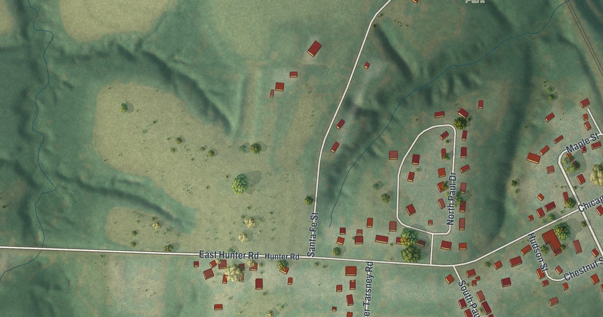
If you grew up in Sibley, or your family still lives near the river, this map is for you. It's a modern aerial view of Sibley in Jackson County, Missouri, built from modern data and given a vintage look. A wide blue river runs down the right side. A rail line cuts across the hills, and deep green ravines fold between the farm fields. Small red shapes mark the homes along the village streets.
How Fort Osage Became Sibley
On this map you'll find Front Street, Third Street, Fourth Street, Osage Street, Santa Fe Street, Maple Street, Chicago Avenue, California Avenue, Chestnut Street, Walnut Street, Hayes Park, Sibley Cemetery, East Hunter Road, Buckner Tarsney Road, East Blue Mills Road, and more. Each red shape is a building, so zoom in on the preview and look for yours.
Sibley's story starts with a fort. The 1881 History of Jackson County says the county's first settlement was at Fort Osage, on the Missouri River. That place was later called Sibley. The fort went up four years after Lewis and Clark came along the county's northern edge in 1804. The government built it to guard the frontier and to trade with the Indians. It took its name from the Osage tribe. The book also tells of George C. Sibley, who worked there as the government's trade agent.
Sibley Laid Out in 1836
The fort stood on a bluff above the river, a short distance from where Sibley stands now. On the map, that wide blue river on the right is the Missouri. Sibley Cemetery is printed near the top right, close to the water. The town of Sibley was laid out in 1836. The same history says the first house built in Sibley was also the first in all of Fort Osage Township. The book's chapter on Sibley also lists a fire that burned the town and a great flood. The village is still here, with its homes spread over the hills near the river.
Sibley Cemetery, Hayes Park and the River Bluffs
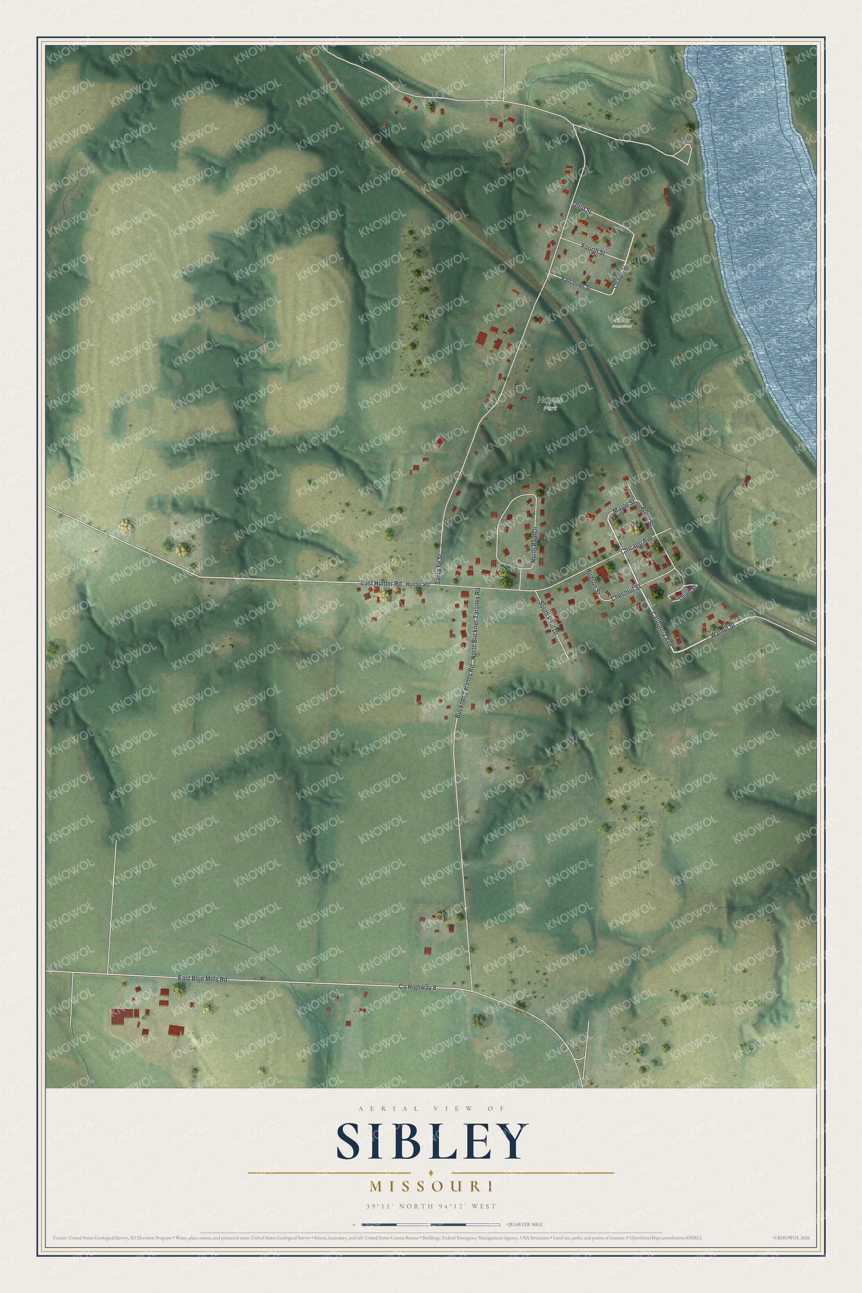
Created by KNOWOL in 2026, this print shows Sibley in soft greens, with shaded hills, blue water and red buildings. The title panel reads Aerial View of Sibley, Missouri, with 39°11' North 94°12' West below it.
It fits a living room, a den or a hallway by the front door. It's a thoughtful gift for someone who grew up near Hayes Park and moved away, or for a family that still calls Sibley home. Open the preview and find the streets you know. See sizes and frames for the Sibley map.