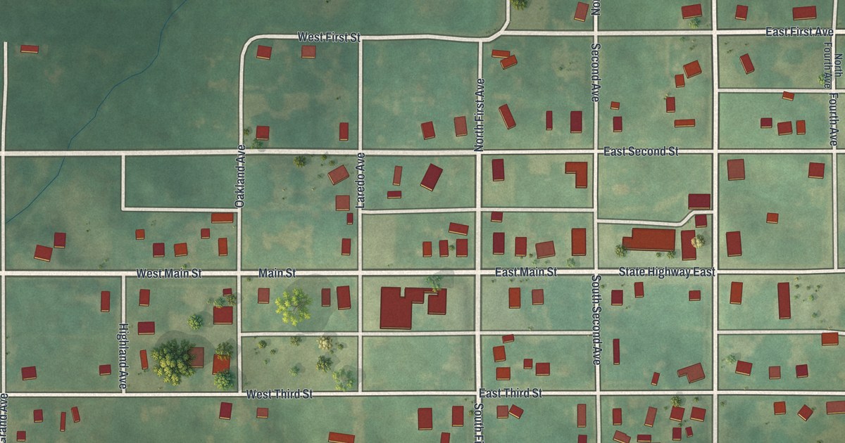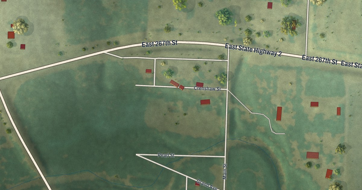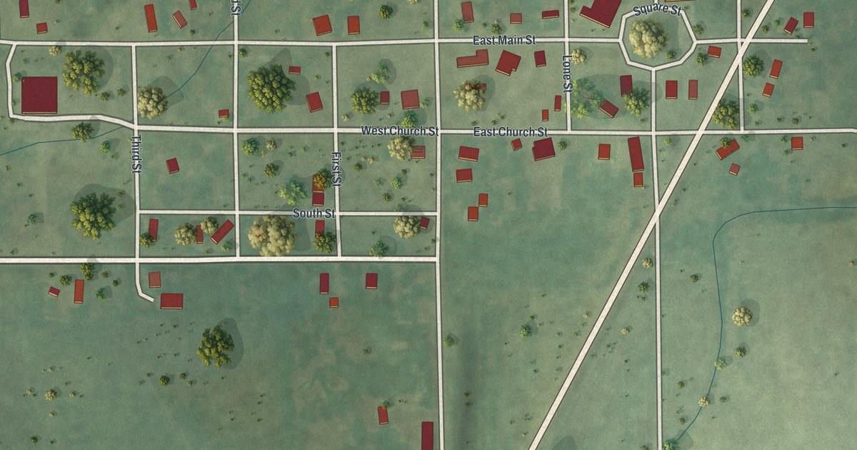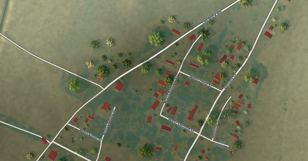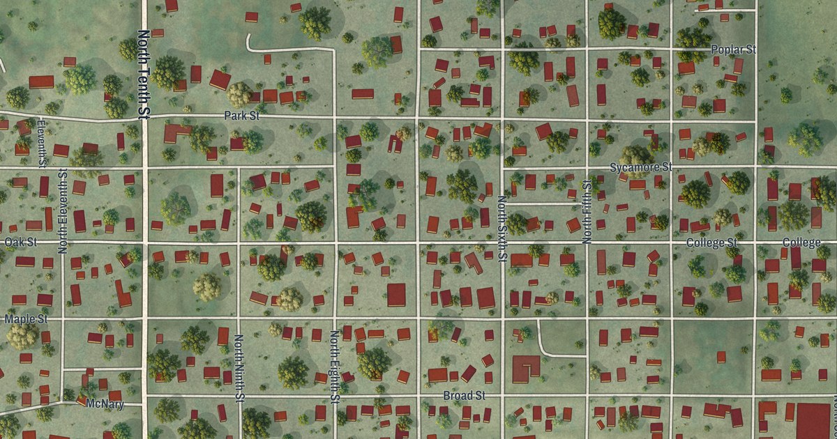
If you studied at Tarkio College, grew up in town, or still have family near Main Street, this map gives you plenty to find. It's a modern aerial view of Tarkio in Atchison County, Missouri, made from modern data with a vintage feel. More than 1,100 buildings are marked in deep red on soft green hills. The streets make a tidy grid. Tarkio Golf Club sits to the northwest, and a blue river runs down the east side.
From North Tenth Street to Main Street in Tarkio
Start at the top of North Tenth Street, the long road down the left side of the map. Up there it meets Olive Street and 190th Street. Tarkio Golf Club is just to the west, with two small blue ponds. Now head south to Park Street. Below it, Sycamore Street and Oak Street cross town side by side, then College Street and Maple Street follow the next block south. Keep going to Broad Street and Main Street. The biggest red shapes of downtown sit along Main Street.
Below Main Street come Elm, Chestnut and Walnut Streets. Walnut Street runs east all the way to the edge of the sheet. On the west side, look for West Main Street and McNary near a running track and a ball field. The numbered streets run north and south, from North First Street on the east side to North 13th Street on the west. Many of the roads are labeled, and each red shape is a building, so zoom in on the preview and look for yours.
Two National Register landmarks on Park and 13th Streets
Two of Tarkio's buildings are on the National Register of Historic Places. Rankin Hall, at 402 North 13th Street, was listed in 2010. The Mule Barn Theatre, at 10th and Park Streets, was listed in 1970. Both addresses sit on printed streets on the west side of the map. Look for North 13th Street, North Tenth Street and Park Street to find them.
For anyone who knows College Street and Main Street
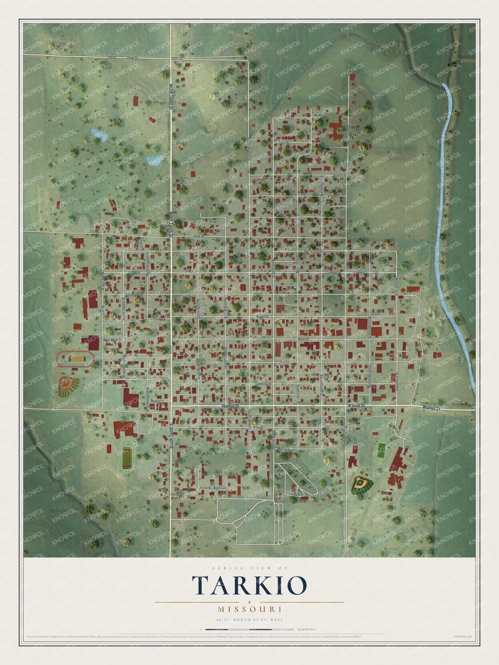
Created by KNOWOL in 2026, this Tarkio map suits an office, a den or a family room. The hills are shaded from USGS elevation data, and each building is marked in deep red. The title panel reads "Aerial View of Tarkio, Missouri," with the coordinates 40°27' North, 95°23' West and a quarter-mile scale bar.
It's a thoughtful gift for someone who went to Tarkio College, grew up near Tarkio Golf Club, or moved away from Atchison County. Open the preview, zoom in and find a street you know. See sizes and frames for the Tarkio map.