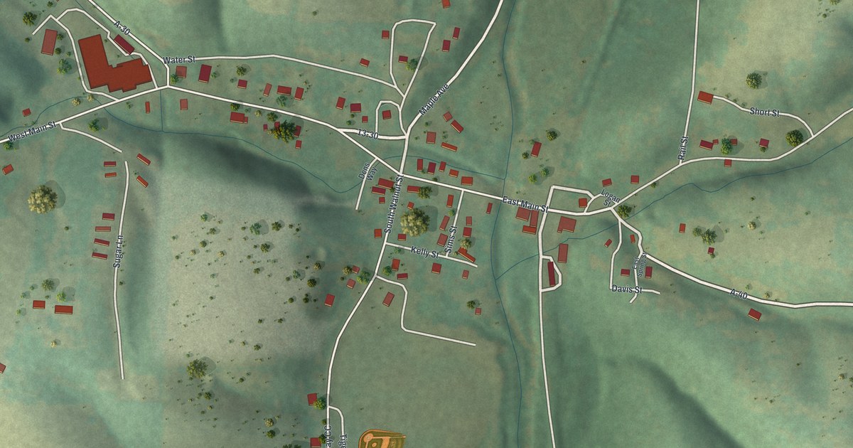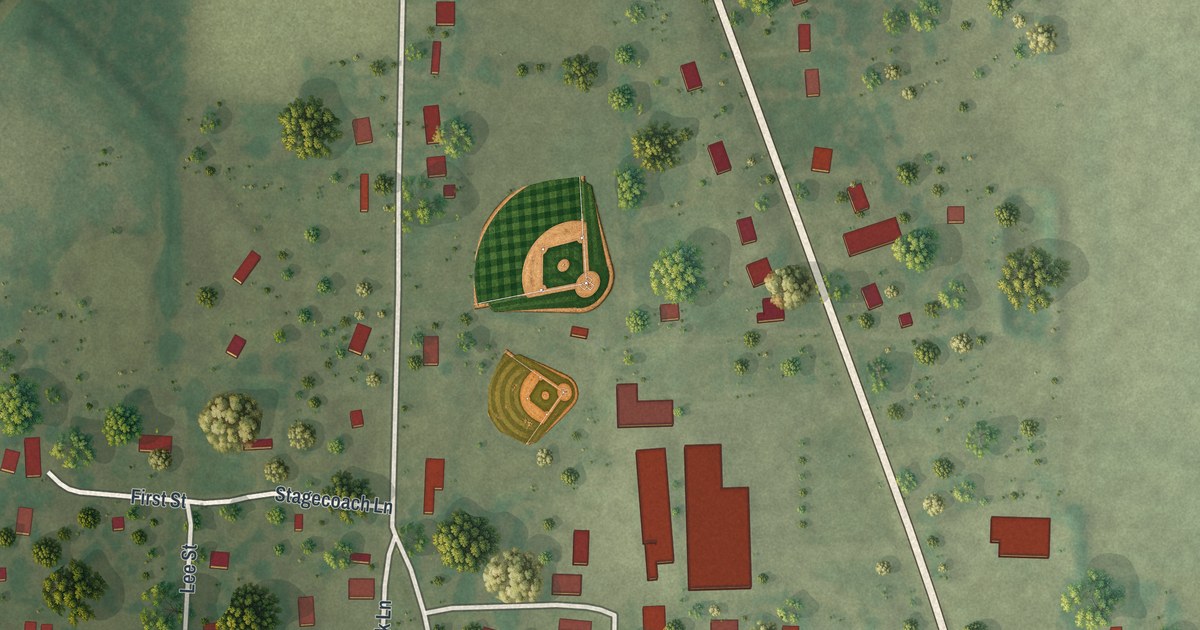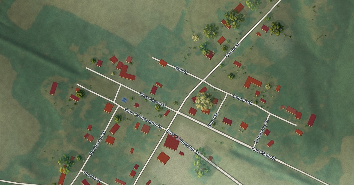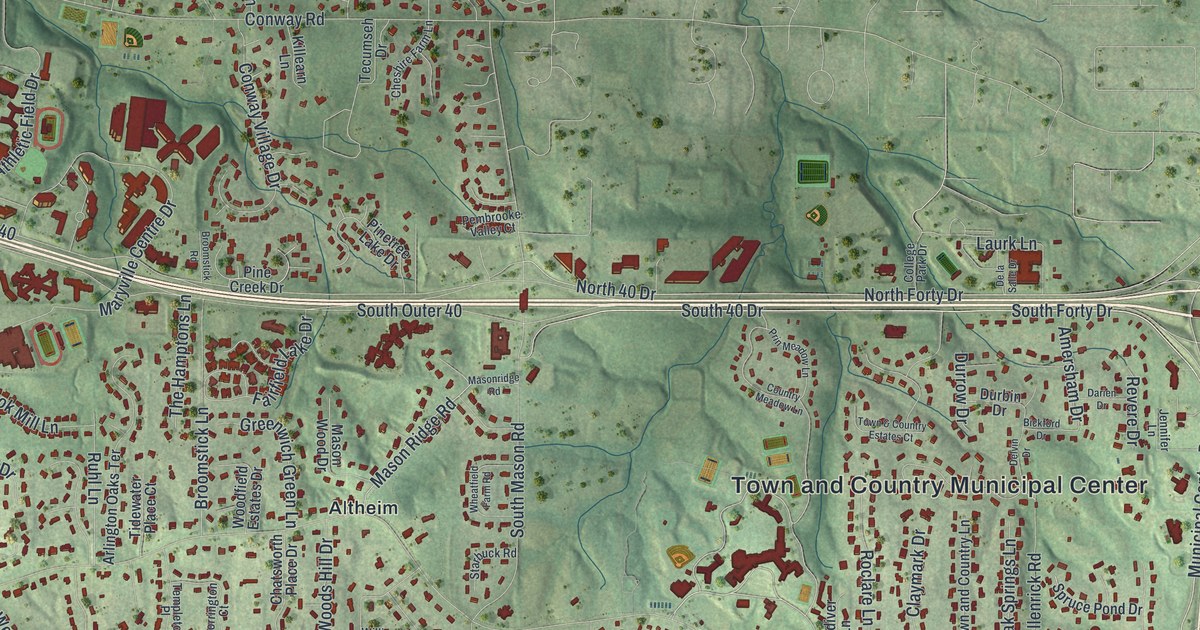
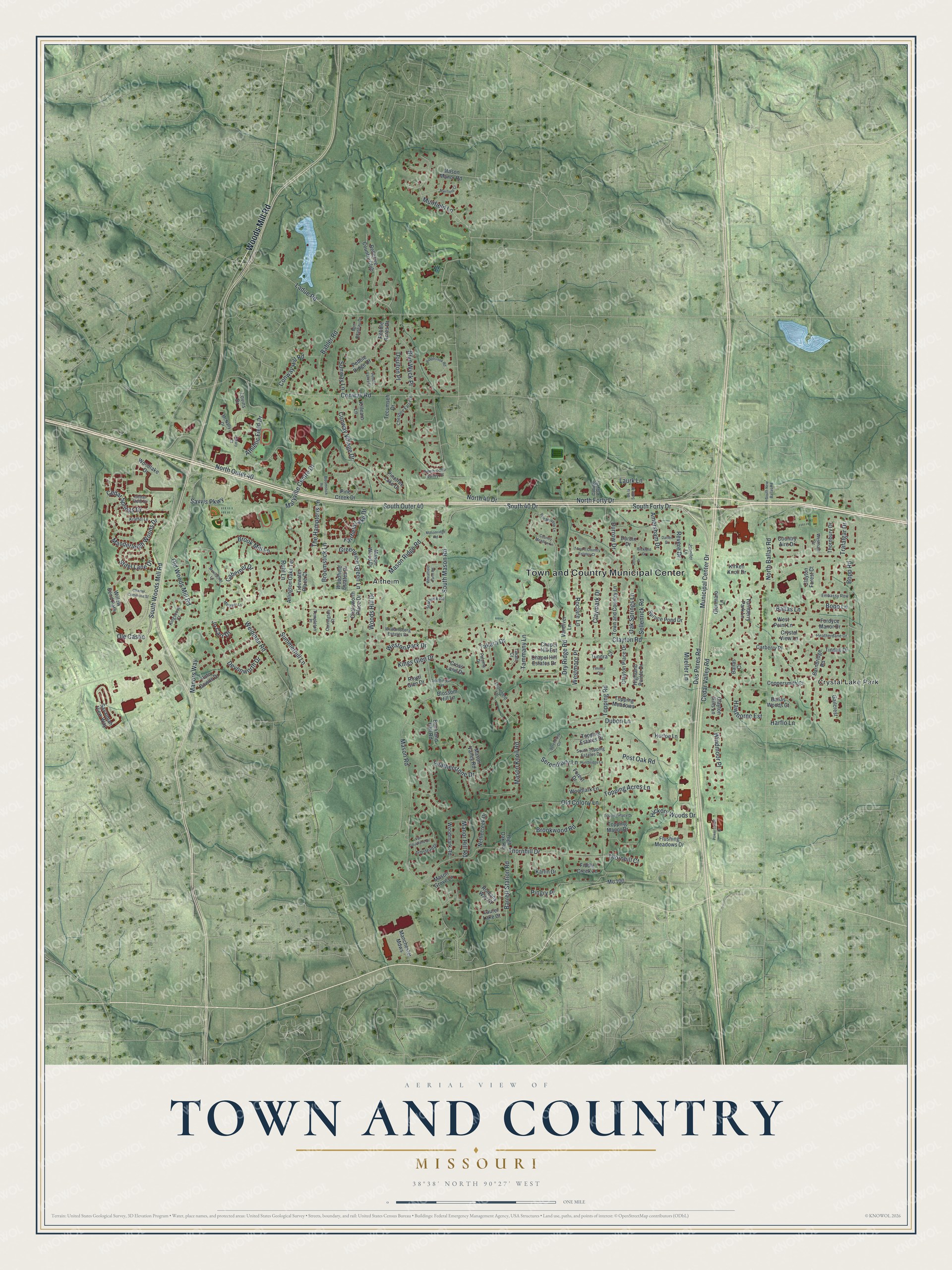
This beautifully detailed map of Town and Country, Missouri was created in 2026 using aerial imagery combined with modern topographical, census, street and landmark data. It’s a one-of-a-kind view of Town and Country that combines accurate data with a vintage aesthetic. The map shows every building in its true location, many of the roads carry their names, and the shaded topographic relief shows the shape of the land.
Explore an aerial view of Town and Country, Missouri
On the map you’ll find Town and Country Municipal Center, Drace Park, Altheim, and Crystal Lake Park, along with Woods Mill Road, South Woods Mill Road, South 40 Drive, South Forty Drive, Des Peres Road, Muirfield Lane, Municipal Center Drive, Mason Road, and more. If you look closely you can even find your house accurately drawn in its correct location. Zoom in on the preview to look for yours.
Take a closer look at the Town and Country map
Street and place names on the Town and Country, Missouri map
These names are printed on the map of Town and Country, Missouri.
Places: Town and Country Municipal Center, Drace Park, Altheim, Crystal Lake Park and Willow Bend Park.
Streets and roads: Woods Mill Road, South Woods Mill Road, South 40 Drive, South Forty Drive, Des Peres Road, Muirfield Lane, Municipal Center Drive, Mason Road, Barrett Station Road, South Mason Road, Clayton Road, North Forty Drive.
More street names, A to Z
Amersham Drive, Arlington Oaks Terrace, Armstead Drive, Athletic Field Drive, Babler Road, Ballas Court, Ballas Lane, Ballas Woods Court, Barnbridge Road, Bellerive Country Club, Bickford Drive, Blossom Hill Lane, Bon Chateau Drive, Bopp Lane, Bopp Road, Brook Mill Lane, Brookwood Road, Broomstick Lane, Broomstick Road, Bryn Wyck Place, Buckland Hall Road, Cabernet Drive, Carberry Place, Cedar Field Court, Cedar Springs Drive, Cedar Valley Road, Chapel Hill Est, Chapel Hill Estates Drive, Charter Commons Street, Chatsworth Place Drive, Cheshire Farm Lane, Claymark Drive, Clayton Forest Court, Clayton Hills Lane, Clayton Place Drive, College Park Drive, Conway Hill Road, Conway Road, Conway Village Drive, Coppersmith Court, Corrington Court, Country Aire Drive, Country Meadow Lane, Cross Land Drive, Crystal View Lane, Darien Drive, De la Salle Drive, Delvin Drive, Devonworth Drive, Doulton Place, Dry Ridge Road, Dubon Lane, Durbin Drive, Durrow Drive, Embassy Row, Fairfield Lake Drive, Featherstone Drive, Fiddle Creek Lane, Flushing Meadows Drive, Fordyce Manor Drive, Forest Drive, Gailcrest, Glenmaro Lane, Greenwich Green Lane, Harflo Lane, Hawthorne Est, Heatherdane Drive, Hickory Woods Drive, Highland Pointe Drive, High Oak Road, Horton Lane, Huntbridge Lane, Jennifer Lane, Jo Carr Drive, Karlin Drive, Killearn Lane, Kingscove Court, Kings Glen Drive, Kirken Knoll Drive, Kraffel Lane, Ladue Road, Laurel Lake Court, Laurk Lane, Library Court, Lochinvar Drive, Lovins Drive, Manchester Mdws, Manderleigh Woods Drive, Manor Hill Road, Manors Way, Margaux Lane, Maryville Centre Drive, Mason Grove Lane, Mason Knoll Road, Mason Manor Road, Mason Ridge Road, Masonridge Road, Mason Valley Road, Mason Wood Drive, McNally Drive, Mo 100, Montrachet Lane, Mueller Lane, Muirfield Court, Nettlecreek Drive, North 40 Drive, North Ballas Road, North Outer 40, Oak Springs Lane, Old Colony Lane, Old Woods Mill Road, Ole Castle, Paloma Drive, Pebble Acres Drive, Pebble Ridge Drive, Pebble Valley Drive, Pembrooke Valley Court, Pine Creek Drive, Pinetree Lake Drive, Pingry Place, Polo Downs Drive, Post Oak Road, Powerscourt Drive, Prin Meadow Lane, Revere Drive, Ridgecreek Road, Roclare Lane, Romany Way Court, Royal Glen Drive, Ruhl Lane, Savannah View Way, Savvis Parkway, Sellenrick Road, Serendipity Circle, Serendipity Lane, South New Ballas Road, South Outer 40, South Topping Estates Drive, Spruce Pond Drive, Starbuck Road, Stifel Lane Drive, Summerhill Lane, Sunway Lane, Takara Court, Takara Drive, Tammany Lane, Tecumseh Drive, Templeton Place, The Hamptons Lane, Thornbury Drive, Thornfield Lane, Thornhill Court, Thornhill Drive, Tidewater Place Court, Timmor Court, Tindall Drive, Topping Acres Lane, Topping Estates Drive, Topping Manor Drive, Topping Meadows, Topping Place Drive, Topping Road, Town & Country Estates Court, Town and Country Lane, Trafalgar Drive, Tundra Court, Turnberry Park Lane, Van Courtland Drive, Vandiver Lane, Weidman Road, Westham Drive, Westmoor Place, Weston Park Drive, West Point Lane, Wheatfield Farm Road, Williamsburg Estates Drive, Windmoor Place, Woodfield Estates Drive, Woodlake Drive, Woodlark Lane, Woodmark Road, Woods Hill Drive.
See the Town and Country, Missouri map on a wall
The Town and Country map as an 18 x 24 inch print in a black frame.

This beautifully detailed map of Town and Country makes an attractive addition to your office, library, or den, and it can even be used to teach children the geography and history of the area. It also makes a great gift for anyone who grew up in Town and Country or moved away. When you’re done exploring, click here to get your copy of the Town and Country map.