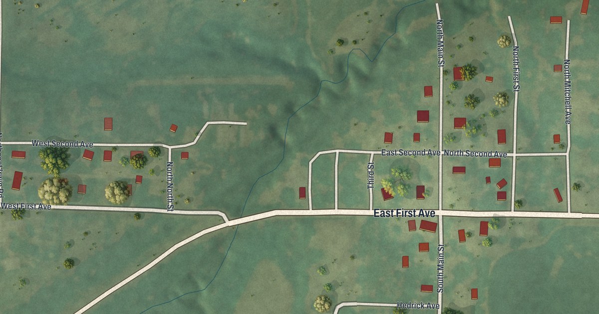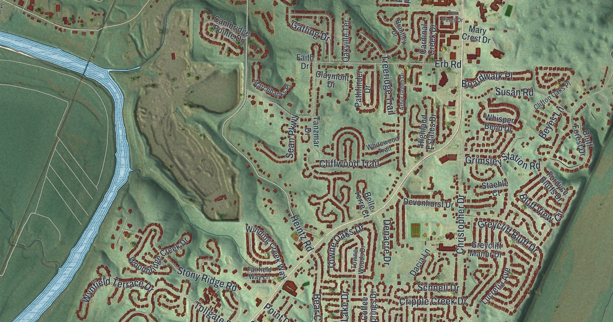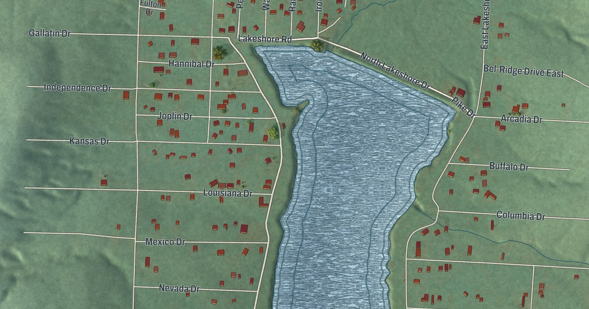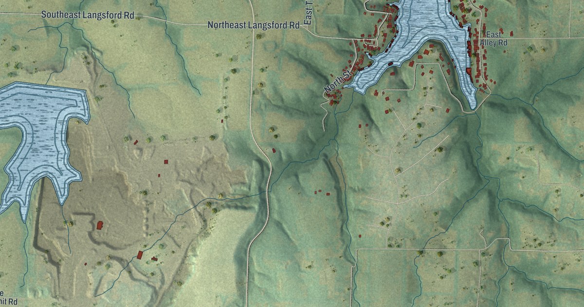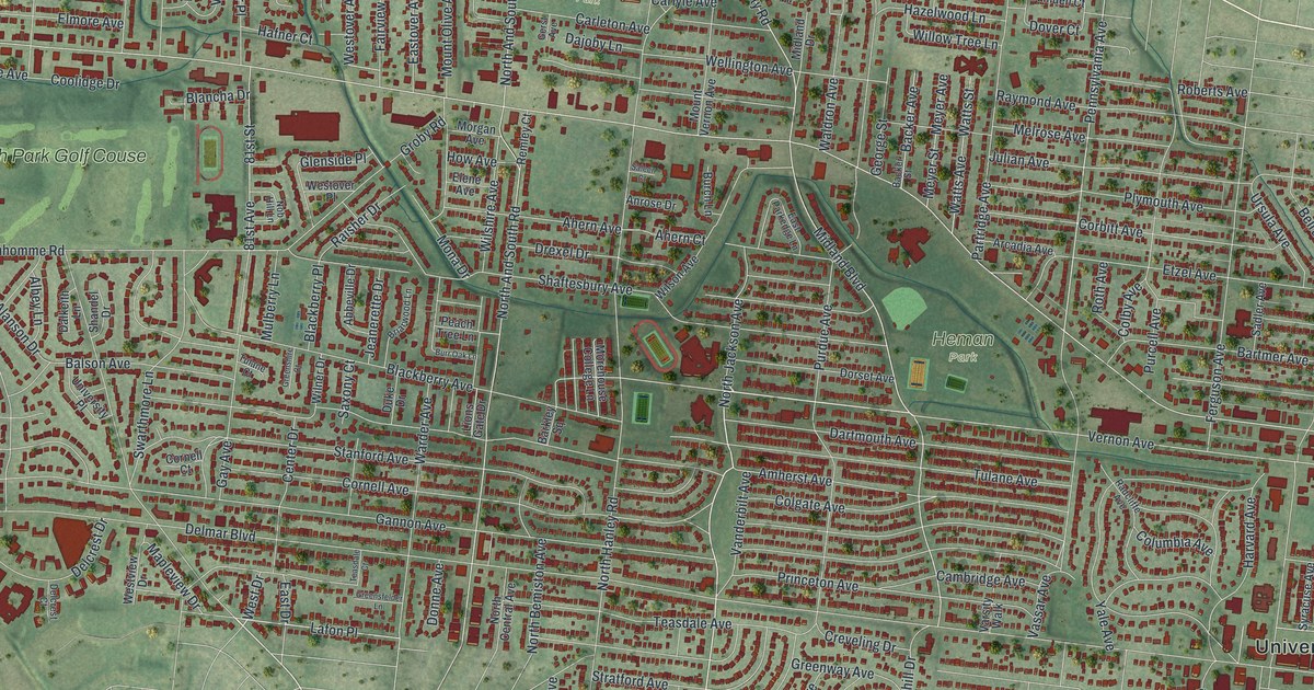
If you grew up near Heman Park or still have family on a street off Delmar Boulevard, this map is for you. It's a modern aerial view with a vintage feel of University City in St. Louis County, Missouri, made in 2026. Thousands of buildings are drawn as small red shapes. Green parks and a winding creek break up the long rows of blocks, and a big highway curves down the left side.
University City Plaza on Delmar Boulevard
On this map you'll find Delmar Boulevard, Olive Boulevard, North Hanley Road, Forsyth Boulevard, Trinity Avenue, Kingsland Avenue, Harvard Avenue, Pennsylvania Avenue, Westgate Avenue, Heman Park, Millar Park, Fogerty Park, Mount Olive Cemetery, and more. Each red shape is a building, so zoom in on the preview and look for yours.
University City Plaza is a historic district on the National Register of Historic Places. It was listed in 1975. Its edges are roughly Delmar Boulevard, Trinity Avenue, Harvard Avenue and Kingsland Avenue. All four streets are printed on this map. Find them and you can trace the whole district with a finger.
Delmar has more listed places close by. The Theodore Link buildings are at 7100 to 7108 Delmar. Assumption Greek Orthodox Church is at 6900 Delmar. The old B'Nai Amoona synagogue is at 524 Trinity Avenue. Up on Olive Boulevard, the Beverly Theater joined the list in 2005. Nathaniel Hawthorne Elementary School on North Hanley Road was added in 2017.
University City Since 1906
The town itself is older than most of those listings. The State Historical Society of Missouri says University City was incorporated in 1906. It has had its own post office since 1925. Today the city's hall is printed near the right side of the map, among some of the most crowded blocks on the sheet.
From Heman Park to Delmar Boulevard
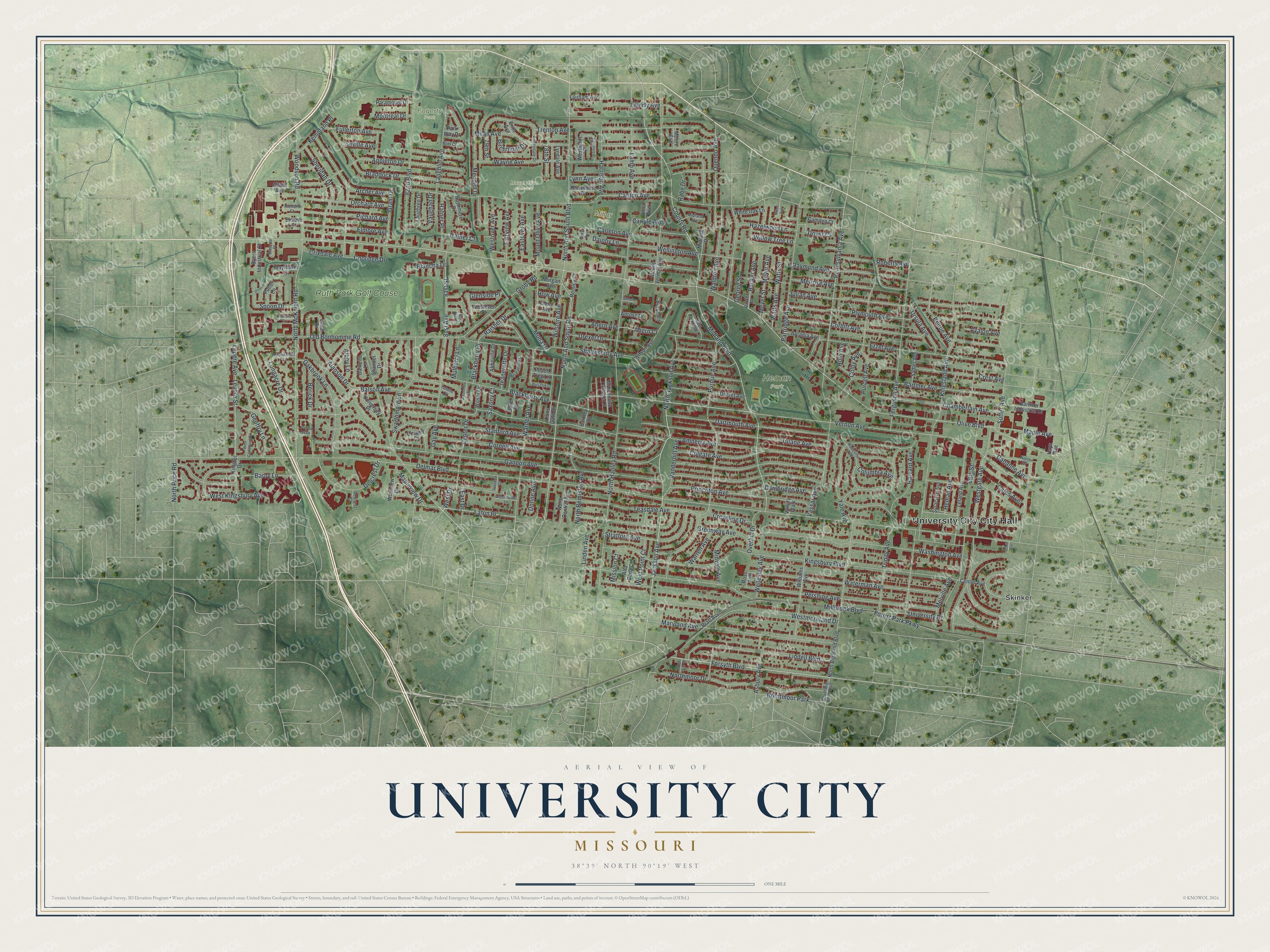
Created by KNOWOL in 2026, this print sets deep red buildings over soft green terrain, with street names in small white type. A cream title panel runs along the bottom. It reads AERIAL VIEW OF UNIVERSITY CITY, MISSOURI, with 38°39' NORTH 90°19' WEST underneath.
It fits a living room, a home office or the hallway by the front door. It's a good gift for someone who grew up near Heman Park and moved away, or for a family that just found a house off Delmar. Open the preview and find your street. See sizes and frames for the University City map.