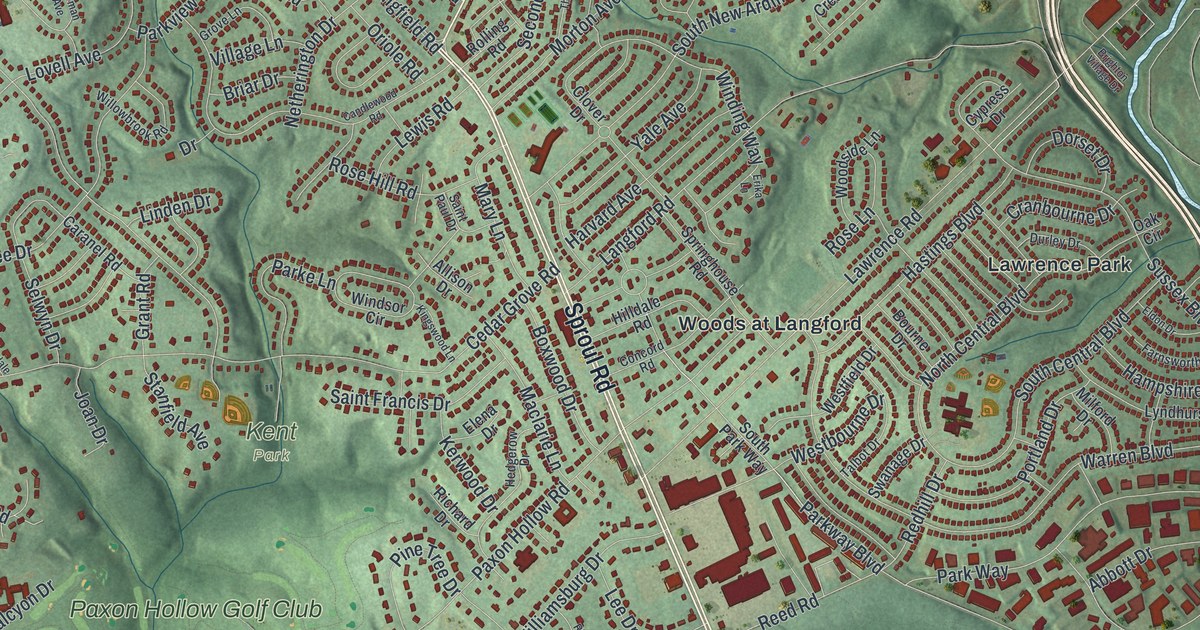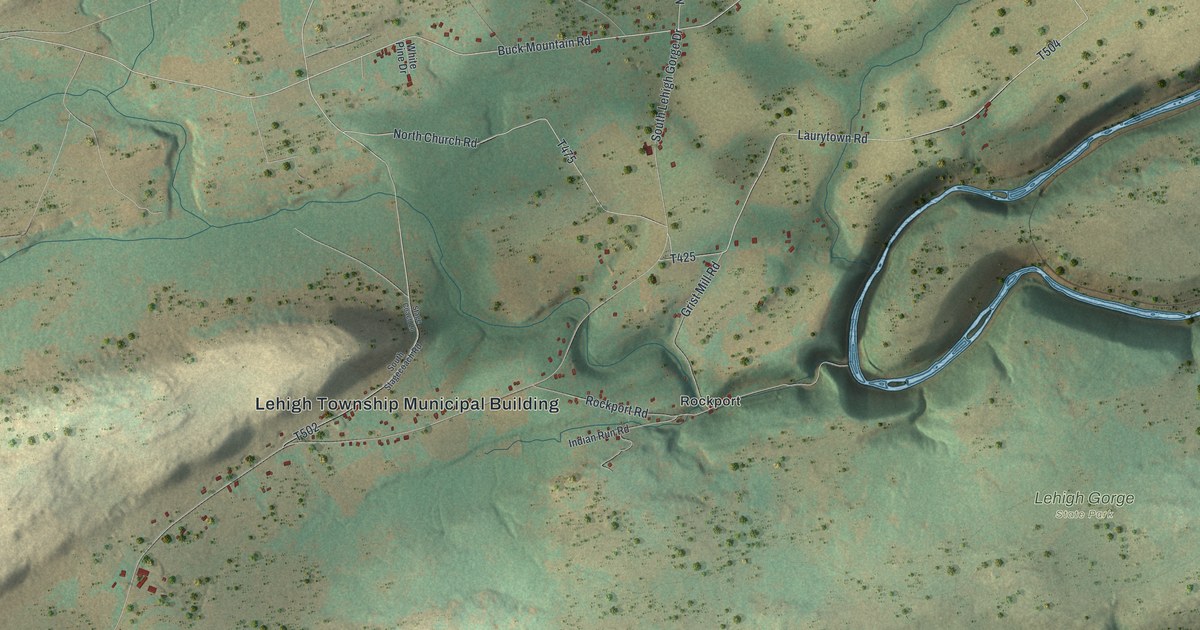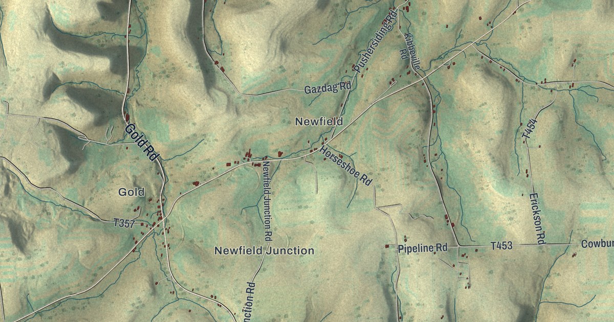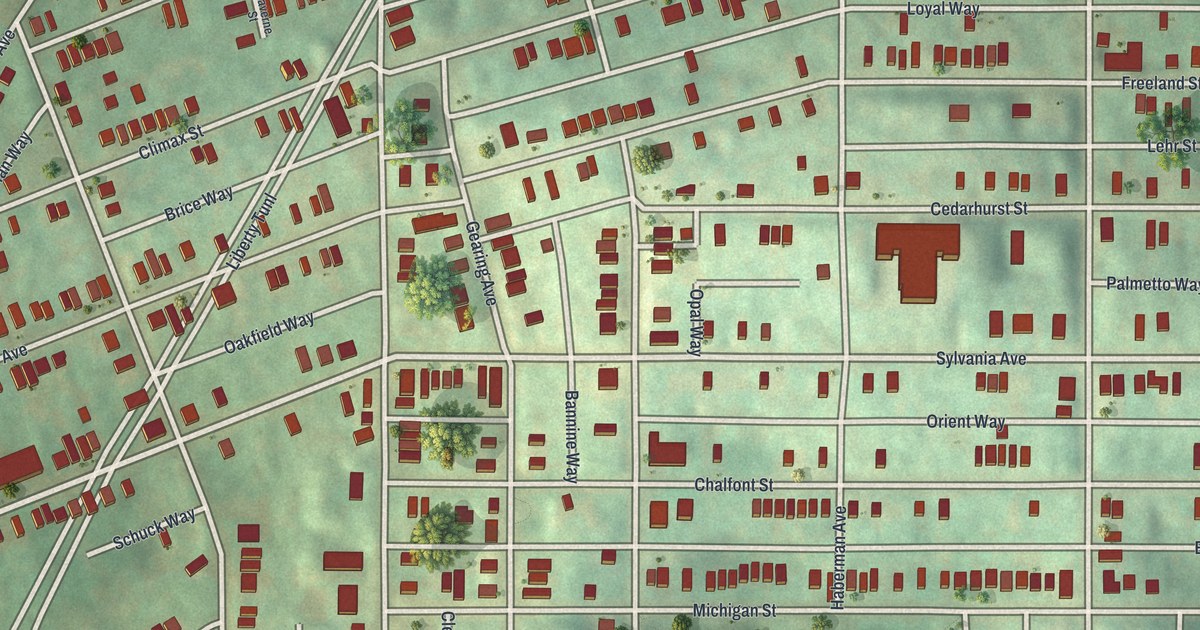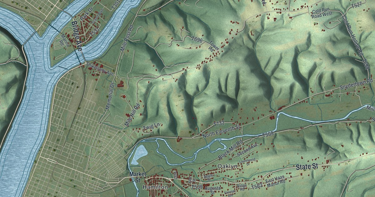
If you grew up in Upper Augusta, look for your family's road on this print. It's a modern aerial view of Upper Augusta in Northumberland County, Pennsylvania, made with modern data and a vintage feel. Blue waterways wind through green hills. Small red buildings gather around Hamilton and Oaklyn, with more scattered across the slopes.
Hamilton, Oaklyn and the Upper Augusta hills
On this map you'll find State Street, Snydertown Road, Mile Post Road, Brush Valley Road, Market Street, Mountain View Drive, Boyer Hill Road, Hamilton, Oaklyn, Keefers, Mount Pleasant, Wolverton, and more. Each red shape is a building, so zoom in on the preview and look for yours.
The National Register lists Keefer Station Covered Bridge in Upper Augusta Township, east of Sunbury on T 698. Its listing dates to August 1979. T698 appears on this print, and so does Keefers, so you can look for both on the preview.
Keep a view of Upper Augusta at home
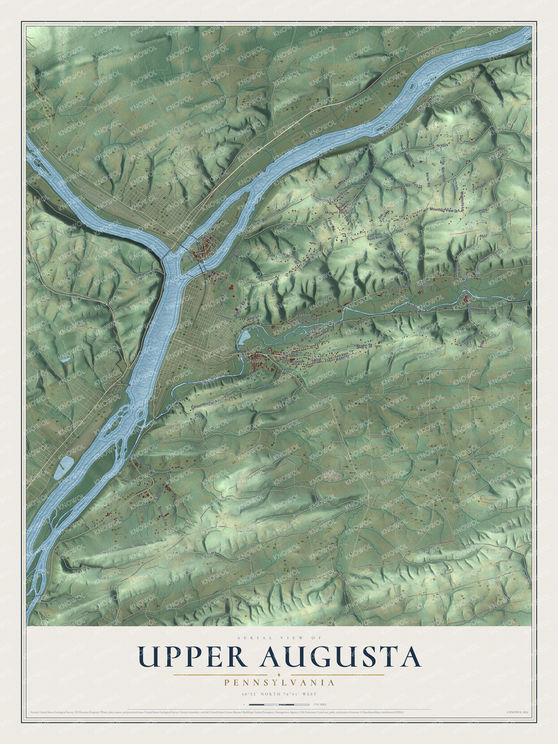
Created by KNOWOL in 2026, the print pairs shaded green hills with blue water and red building shapes. A cream border surrounds the view. The title panel reads AERIAL VIEW OF, UPPER AUGUSTA, PENNSYLVANIA, with 40°52' NORTH 76°44' WEST below.
Hang it in a living room, office or entryway. It's a thoughtful gift for someone with family in Hamilton or Oaklyn, or someone who's moved away. Open the preview and look for the roads you grew up on. See sizes and frames for the Upper Augusta map.