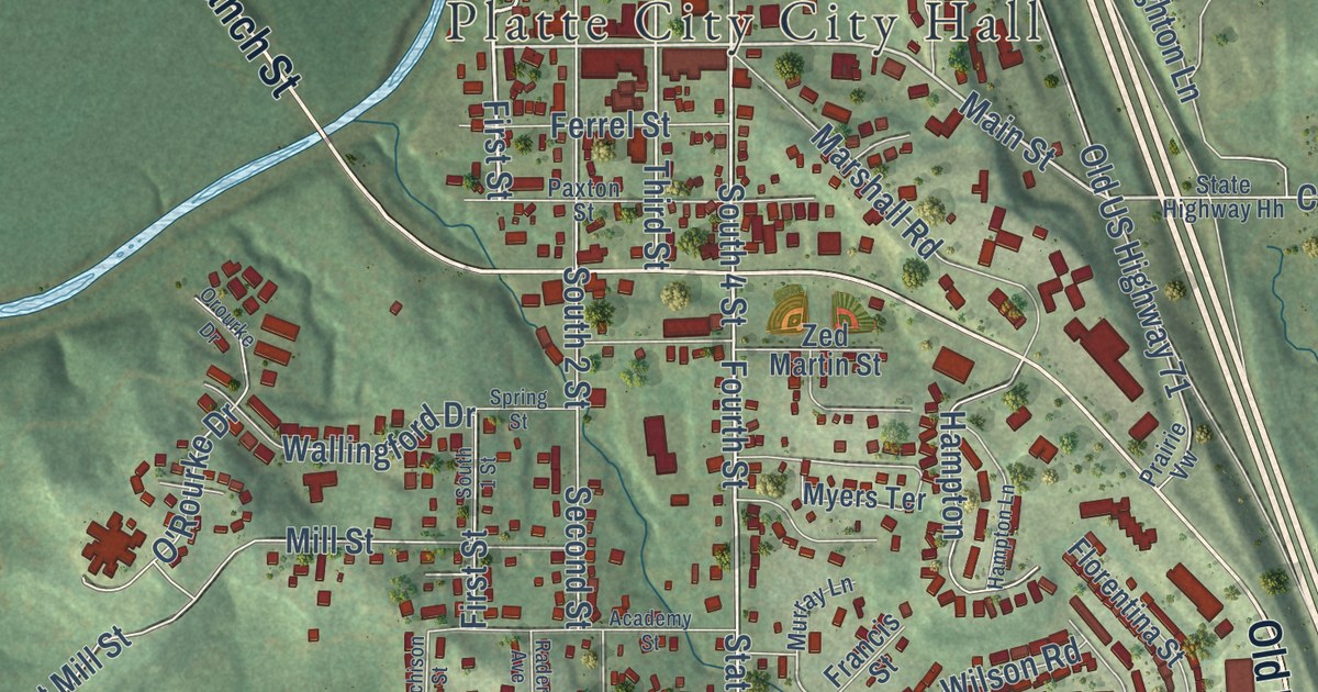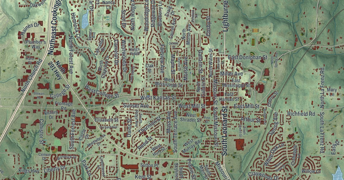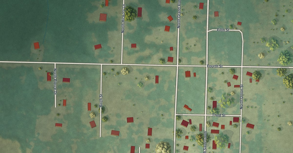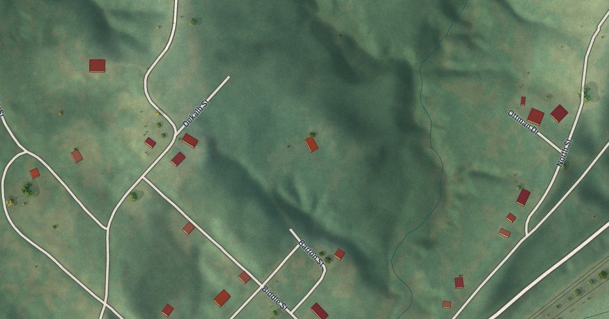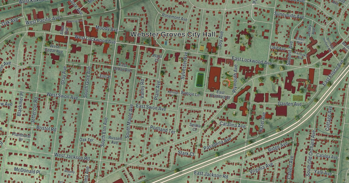
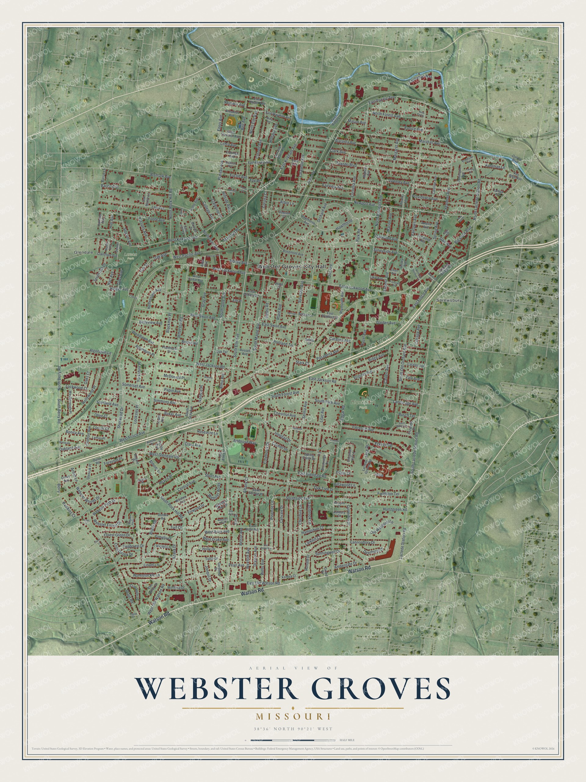
This beautifully detailed map of Webster Groves, Missouri was created in 2026 using aerial imagery combined with modern topographical, census, street and landmark data. It’s a one-of-a-kind view of Webster Groves that combines accurate data with a vintage aesthetic. The map shows every building in its true location, many of the roads carry their names, and the shaded topographic relief shows the shape of the land.
Explore an aerial view of Webster Groves, Missouri
On the map you’ll find Webster Groves City Hall, Blackburn Park, Larson Park, Glendale, Shrewsbury, and Hawthorne, along with Watson Road, South Elm Avenue, Oakwood Avenue, East Lockwood Avenue, North Elm Avenue, Park Road, and more. If you look closely you can even find your house accurately drawn in its correct location. Zoom in on the preview to look for yours.
Did you know this piece of Webster Groves, Missouri history?
The first public school in Webster Groves was Douglass Elementary, opened after the Civil War for Black children in North Webster. In the 1920s it grew into Douglass High School. It was the only high school in St. Louis County open to Black students. It closed in 1956, after the Supreme Court required desegregation.
Take a closer look at the Webster Groves map
Street and place names on the Webster Groves, Missouri map
These names are printed on the map of Webster Groves, Missouri.
Places: Webster Groves City Hall, Blackburn Park, Larson Park, Glendale and Shrewsbury.
Streets and roads: Watson Road, South Elm Avenue, Oakwood Avenue, East Lockwood Avenue, North Elm Avenue, Park Road, Hawthorne, East Pacific Avenue, East Kirkham Avenue, Newport Avenue, North Berry Road, South Berry Road.
More street names, A to Z
Albany Court, Algonquin Lane, Algonquin Place, Allen Avenue, Alma Avenue, Almentor Avenue, Almont Lane, Ambergate Drive, Ambrose Way, Amelia Avenue, Arbor Lane, Armin Lane, Ashbury Court, Atalanta Avenue, Azalia Drive, Bacon Avenue, Baker Avenue, Barbre Court, Barron Lane, Bell Avenue, Belleview Avenue, Belton Avenue, Berry, Big Bend Boulevard, Bismark Avenue, Blackmer Place, Bonita Avenue, Bridle Road, Bristol Road, Brookridge Drive, Brookside Avenue, Buesse Lane, Busch Terrace, Calvert Avenue, Camellia Drive, Cannonbury Drive, Carmel Drive, Caroline Avenue, Catalina Avenue, Catalpa Avenue, Central Avenue, Cheney Lane, Cherry, Cheshire Lane, Chestnut Avenue, Chestnut Hill Lane, Claiborne Place, Clairmont Avenue, Clara Avenue, Clark Avenue, Clover Lane, Colebrook Drive, College Avenue, Colonial Village Court, Cornelia Avenue, Cornell Avenue, Corona Court, Cottage Avenue, Crabapple Lane, Crabtree Court, Crofton Avenue, Crossbrook Drive, Culverhill Drive, Dale Avenue, Dawson Court, Deerhurst Drive, Denver Place, Dobbin Road, Dornell Drive, Drayton Avenue, East Allison Avenue, East Avenue, East Bradford Street, Eastbrook Lane, East Cedar Avenue, East Drake Avenue, East Frisco Avenue, East Glendale Road, East Jackson Road, East Old Watson Road, East Ravine Avenue, East Rose Avenue, East Swon Avenue, East Waymire Avenue, Eckrich Place, Edgar Court, Edgar Road, Elbart Avenue, Eldridge Avenue, Elizabeth Drive, Elm Drive, Elm Place, Elm Valley Drive, Elmwood Avenue, Ennis Avenue, Euclid Avenue, Eunice Avenue, Exchange Way, Fairlawn Avenue, Fairoaks Avenue, Fairview Avenue, Fieldcrest Drive, Fieldston Terrace, Firwood Drive, Florence Avenue, Foote Avenue, Forest Green Drive, Foreston Place, Fox Place, Garden Avenue, Gardenia Drive, Girard Drive, Glencoe Avenue, Glenoak Place, Glen Road, Grant Court, Grant Road, Gray Avenue, Greeley Avenue, Grove Avenue, Hammel Avenue, Hampshire Court, Harper Avenue, Hart Avenue, Hawken Place, Hawkins Court, Hawthorne Avenue, Hazel Avenue, Helfenstein Avenue, Hillside Avenue, Holland Avenue, Holly Drive, Hollywood Place, Home Avenue, Honeysuckle Lane, Hull Avenue, Hurstgreen Road, Imse Drive, Innisfail Drive, Isme, Ivanhoe Place, Jefferson Road, Jersey Avenue, Jonquil Drive, Joy Avenue, Kenora Court, Kerruish Place, Key West Avenue, Kuhlman Lane, Laclede Groves Road, Laclede Station Road, Lafayette Avenue, Lake Avenue, Landscape Avenue, Lanvale Drive, Larkhill Court, Lee Avenue, Liggett Drive, Lilac Avenue, Linum Lane, Lithia Avenue, Locksley Place, Lockwood Court, Locust Court, Lorraine Davis Lane, Lucille Avenue, Lyman Place, Madison Avenue, Margaret Avenue, Marion Avenue, Marshall Avenue, Marshall Place, Mason Avenue, McDonald Place, Mildred Avenue, Moody Avenue, Murdoch Avenue, New Port Place, North Bompart Avenue, North Forest Avenue, North Gore Avenue, North Iola, North Laclede Station Road, North Old Orchard Avenue, North Park Street, North Rock Hill Road, Oak Avenue, Oakland Avenue, Oak Manor Lane, Oaks Court, Oak Street, Oak Terrace, Oak Tree Drive, Ola Avenue, Old Elm Lane, Old Westbury Lane, Olive Court, Orchard Avenue, Outer Road, Owen Ridge Lane, Oxford Boulevard, Page Avenue, Papin Avenue, Parsons Avenue, Pasadena Avenue, Pearl Avenue, Pinetree Lane, Plant Avenue, Plant Court, Planthurst Drive, Plateau Avenue, Plymouth Avenue, Portland Terrace, Providence Avenue, Reasnor Avenue, Reavis Place, Redwood Drive, Regent Place, Ridge Avenue, Robinson Avenue, Ronald Drive, Roseacre Lane, Rosemont Avenue, Russell Avenue, Saint George Place, Saint James Drive, Saint John Avenue, Selma Avenue, Selma Court, Sheffield Avenue, Sherwood Drive, Short Avenue, Simmons Avenue, Slocum Avenue, Somerset Avenue, South Forest Avenue, South Gore Avenue, South Gray Avenue, South Iola Drive, South Laclede Station Road, South Maple Avenue, South Old Orchard Avenue, South Park Avenue, South Rock Hill Road, Southside Avenue, Spring Avenue, Spring Creek Drive, Stark Court, Summit Avenue, Summit Place, Sunningwell Drive, Sunnyside Avenue, Sylvester Avenue, Tampa Avenue, Theatre Lane, Toft Lane, Tulip Drive, Turf Court, Tuxedo Boulevard, Twining Place, Tyler Avenue, Valley Road, Villawood Lane, Violet Lane, Virginia Avenue, Waverly Place, Webster Acres, Webster Forest Court, Webster Forest Drive, Webster Knolls, Webster Oaks Drive, Webster Path Drive, Webster Woods Drive, Wells Avenue, Westborough Place, West Cedar Avenue, West Drake Avenue, West Frisco Avenue, West Glendale Road, West Jackson Road, West Kirkham Avenue, West Lockwood Avenue, West Old Watson Road, West Pacific Avenue, West Rose Avenue, Westside Place, West Swon Avenue, West Thornton Avenue, Wexford Avenue, Willis Avenue, Willoughby Court, Wilshire Terrace, Woodlawn Avenue, Worthing Drive, Yale Avenue, Yeatman Avenue, Yeddo Avenue, Yorkshire Place.
See the Webster Groves, Missouri map on a wall
The Webster Groves map as an 18 x 24 inch print in a black frame.

This beautifully detailed map of Webster Groves makes an attractive addition to your office, library, or den, and it can even be used to teach children the geography and history of the area. It also makes a great gift for someone who left Webster Groves and still calls it home. When you’re done exploring, click here to get your copy of the Webster Groves map.