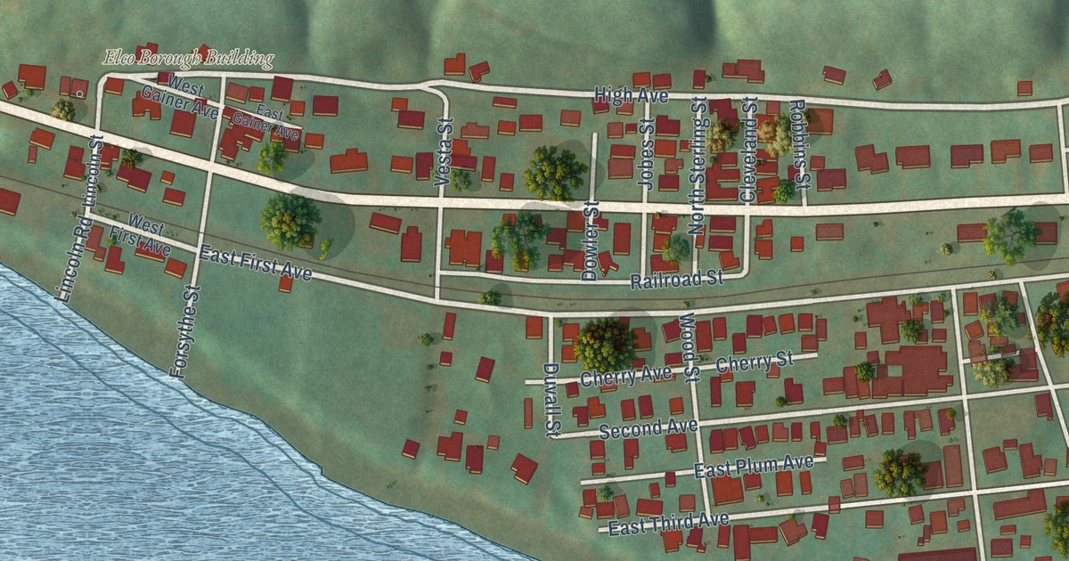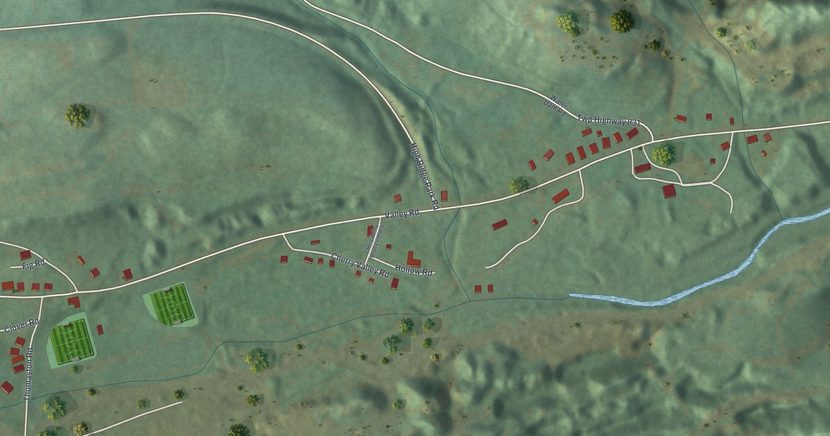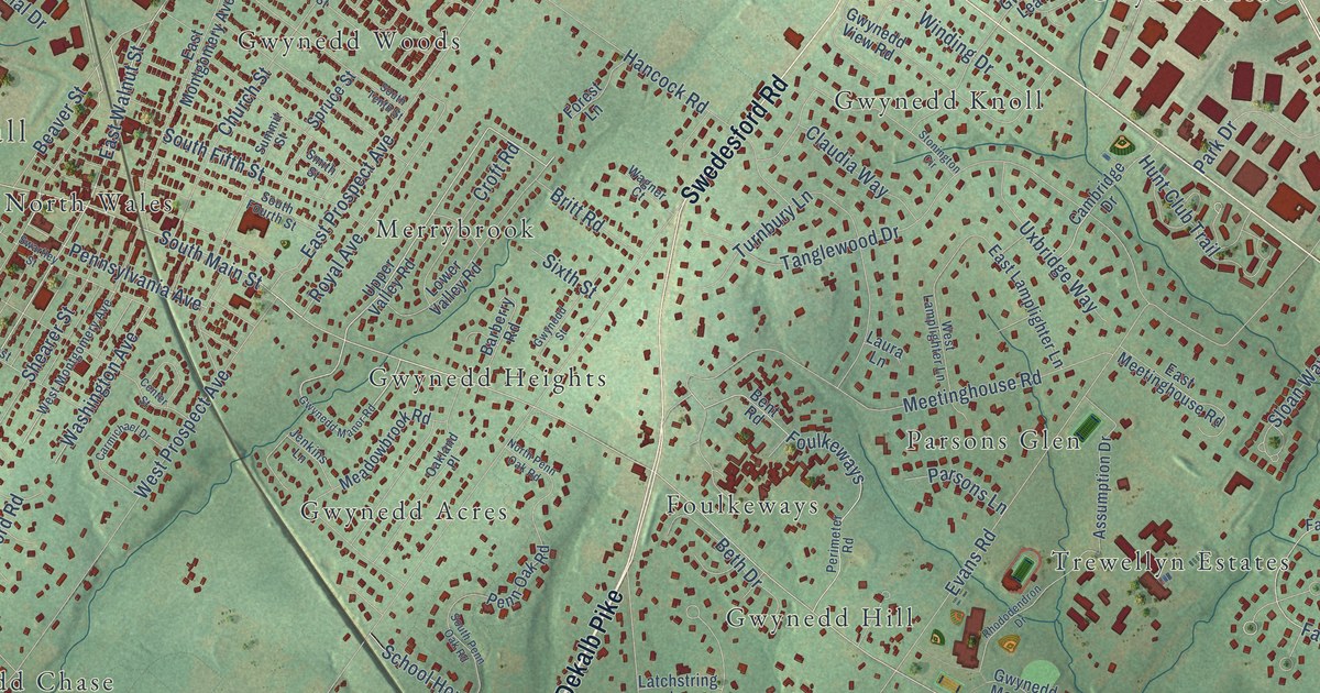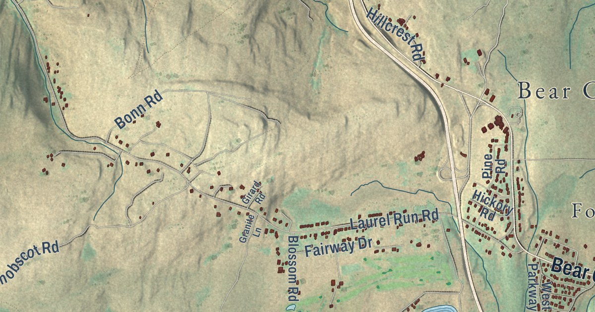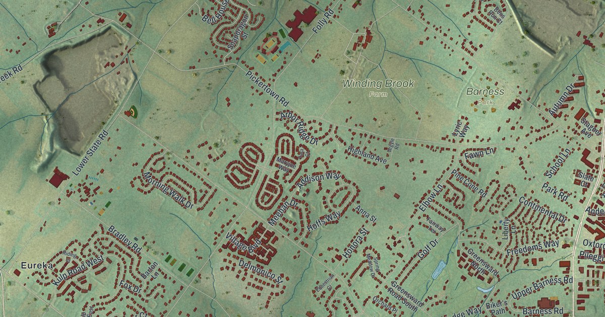
This beautifully detailed map of Warrington, Bucks County, Pennsylvania was created in 2026 using aerial imagery combined with modern topographical, census, street and landmark data. It’s a one-of-a-kind view of Warrington that combines accurate data with a vintage aesthetic. The map shows every building in its true location, many of the roads carry their names, and the shaded topographic relief shows the shape of the land.
Explore an aerial view of Warrington, Bucks County, Pennsylvania
On the map you’ll find Warrington Township Municipal Building, Barness Park, Turk Park, Winding Brook Farm, Eureka, Neshaminy, and Palomino Farms, along with Easton Road, Limekiln Pike, West Street Road, Cooper Lane, Anderson Way, and more. If you look closely you can even find your house accurately drawn in its correct location. Zoom in on the preview to look for yours.
Did you know this piece of Warrington, Bucks County, Pennsylvania history?
From the 1942 Place Names in Bucks County, Pennsylvania: "It was so named for Warrington, a town in Lancashire, England. The township remained a wilderness for some years after townships to the southeast were well settled."
Take a closer look at the Warrington, Bucks County map
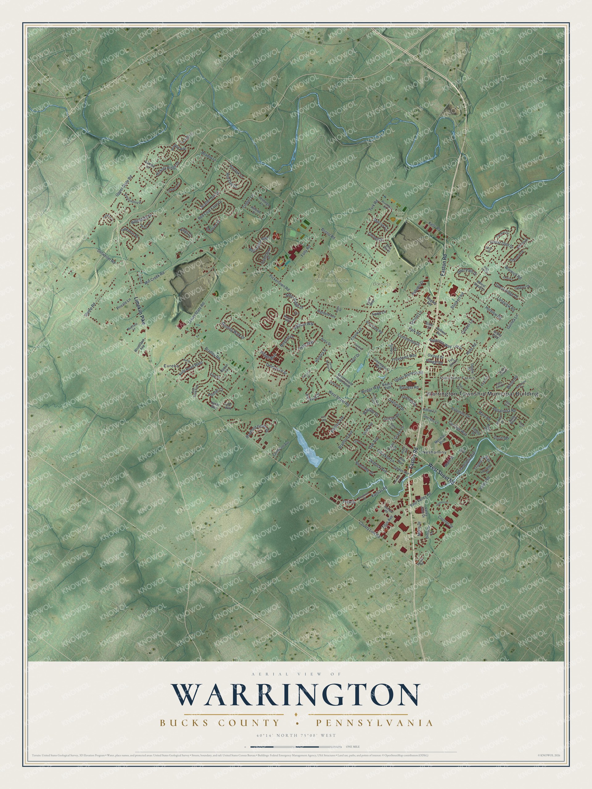
Street and place names on the Warrington, Bucks County, Pennsylvania map
These names are printed on the map of Warrington, Bucks County, Pennsylvania.
Places: Warrington Township Municipal Building, Barness Park, Turk Park, Winding Brook Farm, Eureka, Neshaminy and Palomino Farms.
Streets and roads: Easton Road, Limekiln Pike, West Street Road, Cooper Lane, Anderson Way, Oakfield Drive, Kulp Road West, County Line Road, Bristol Road, Pickertown Road, Folly Road, Upper State Road.
More street names, A to Z
Addison Way, Anna Street, Appaloosa Road, Arbor Ridge Drive, Argyle Road, Autumn Drive, Ballantine Lane, Barness Road, Barton Lane, Bell House Boulevard, Bens Run Court, Biker's Path, Billingsley Drive, Birch Court, Blackburn Court, Bradford Avenue, Bradford Green Drive, Bradley Road, Breezy Hollow Drive, Buckingham Drive, Buggy Whip Drive, Bunnell Road, Carriage Way, Chatfield Road, Coachlight Circle, Continental Drive, Cornell Drive, Costner Drive, Creekside Court, Crimson Court, Dapple Drive, Deer Path Drive, Delmonico Street, Detweiler Road, Dubree Avenue, Elbow Lane, Elm Avenue, Equestrian Court, Erins Way, Fairmount Avenue, Fairway Terrace, Fawn Lane, Foal Circle, Forest Glen Drive, Fox Drive, Fox Run Terrace, Freedoms Way, Gait Circle, Garden Avenue, Georges Lane, Geranium Drive, Golf Drive, Grace Lane, Grady Avenue, Grand Boulevard, Green Ridge Drive, Greensward North, Greensward Road South, Greensward South, Gregory Drive, Griffiths Road, Guinea Lane, Hackberry Court, Harvard Drive, Herblew Road, Heron Way, Hickory Ridge Drive, Highland Avenue, Hillside Drive, Hilltop Lane, Hoffs Way, Holly Road, Honora Street, Jennings Lane, Jericho Drive, Kansas Road, Kelly Road, Kings Court, Kulp Road East, Liberty Lane, Lisa Drive, Longview Road, Longwood Court, Lorraine Drive, Lower State Road, Lyric Way, Main Street, Maple Avenue, Marcus Circle, Mare Road, Maryjoe Way, Meadow Lane, Meehan Drive, Meridian Boulevard, Metro Drive, Metsger Way, Mill Creek Road, Mill Road, Morning Walk Drive, Muirfield Lane, Oak Avenue, Orchard Place, Oxford Drive, Palomino Drive, Park Road, Paso Fino Drive, Patty Lane, Paul Valley Road, Philadelphia Avenue, Phillips Avenue, Pileggi Road, Pine Cone Road, Pinnacle Drive, Pin Oak Lane, Pinto Road, Pittner Place, Pointer Court, Pond View Drive, Princeton Drive, Private Lane, Red Coat Farm Drive, Red Oak Drive, Redstone Drive, Ridge View Drive, Riding Court, Roan Drive, Saddle Drive, Sarahs Lane, Scarlet Oak Drive, School Lane, Shadow Creek Lane, Slate Court, Snapdragon Street, Sorrel Road, Spring Meadow Drive, Spruce Road, Stagner Avenue, Statesman Road, Stuckert Road, Stump Road, Summit Lane, Surrey Lane, Tara Court, Taylor Avenue, Ted Jim Drive, Teresa Circle, Timber Lane, Titus Avenue, Tohickon Lane, Triumphe Way, Tulip Drive, Turk Road, Tyler Way, Upper Barness Road, Valley Gate Drive, Valley Road, Village Boulevard, Warwick Road, Wayside Drive, Wedge Way, Welsh Road, Wheat Sheaf Lane, Winding Way, Wodock Avenue, Woodlawn Avenue.
See the Warrington, Bucks County, Pennsylvania map on a wall
The Warrington, Bucks County map as an 18 x 24 inch print in a black frame.

This beautifully detailed map of Warrington, Bucks County makes an attractive addition to your office, library, or den, and it can even be used to teach children the geography and history of the area. It also makes a great gift for anyone who grew up in Warrington or moved away. When you’re done exploring, click here to get your copy of the Warrington, Bucks County map.