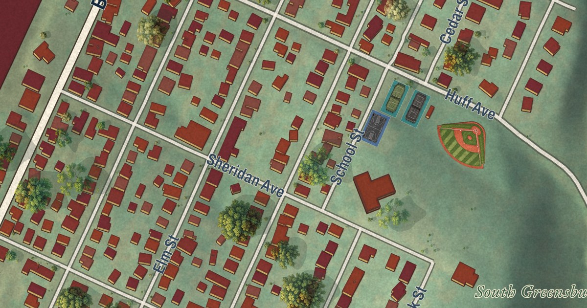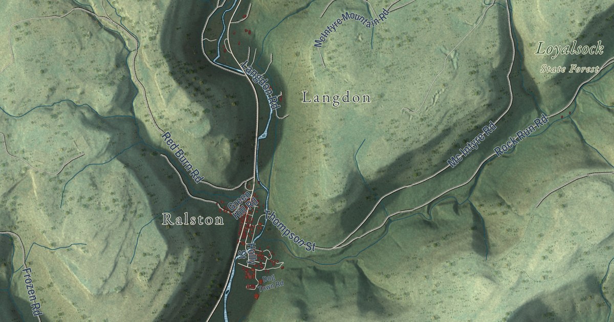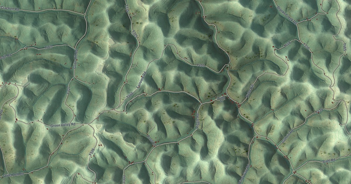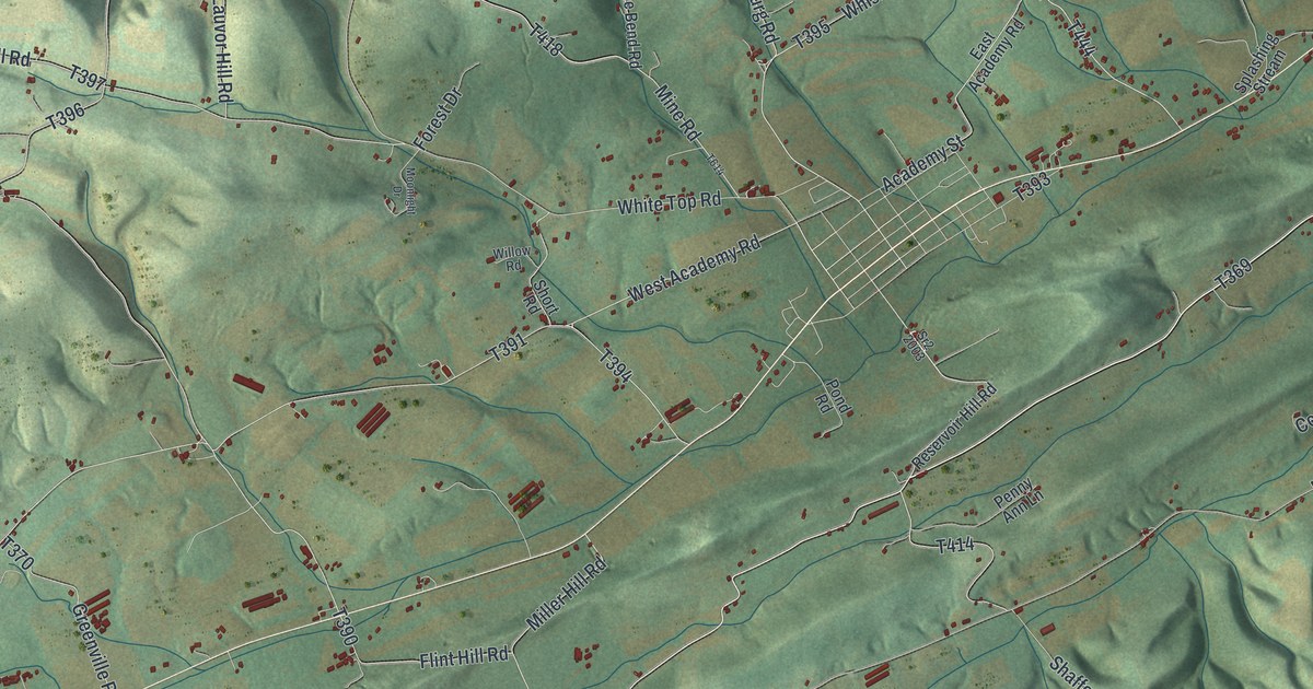
This beautifully detailed map of Washington, Snyder County, Pennsylvania was created in 2026 using aerial imagery combined with modern topographical, census, street and landmark data. It’s a one-of-a-kind view of Washington that combines accurate data with a vintage aesthetic. The map shows every building in its true location, many of the roads carry their names, and the shaded topographic relief shows the shape of the land.
Explore an aerial view of Washington, Snyder County, Pennsylvania
On the map you’ll find Kantz and Pallas, along with Produce Road, Orchard Hill Road, Tharp Road, Flint Valley Road, and more. If you look closely you can even find your house accurately drawn in its correct location. Zoom in on the preview to look for yours.
Did you know this piece of Washington, Snyder County, Pennsylvania history?
From the 1886 History of the Susquehanna and Juniata Valleys: "Christian Boyer, a Revolutionary soldier, kept the first store in Washington township, in the year 1789, in the old stone house, still standing and occupied by Daniel Baney, one mile north of Freeburg."
Take a closer look at the Washington, Snyder County map
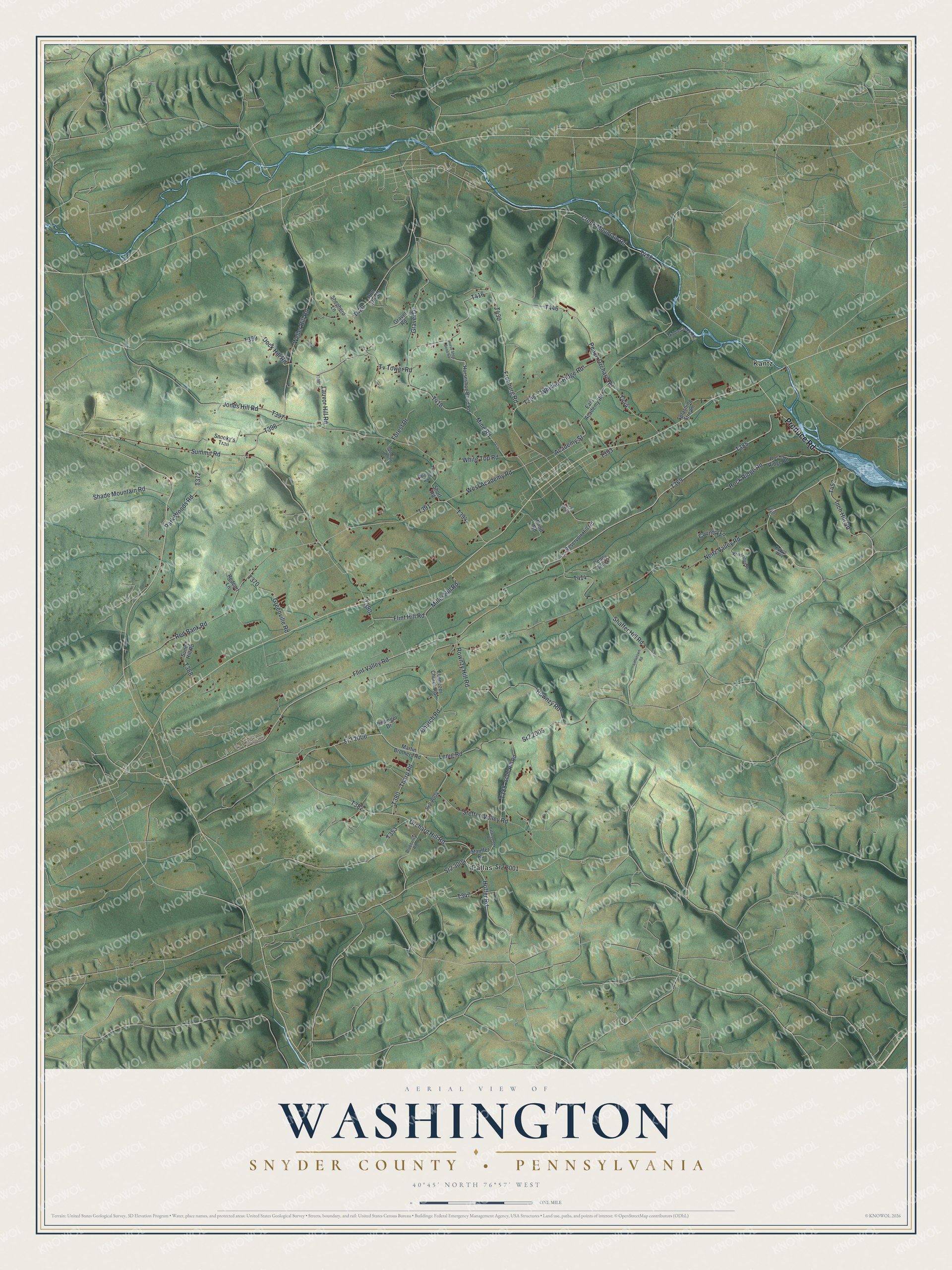
Street and place names on the Washington, Snyder County, Pennsylvania map
These names are printed on the map of Washington, Snyder County, Pennsylvania.
Places: Kantz and Pallas.
Streets and roads: Produce Road, Orchard Hill Road, Tharp Road, Flint Valley Road, Creek Mountain Road, Peach Orchard Road, Dock Hill Road, Sr2 2001, Gravel Drive, Sr2 3004, White Top Road, Red Bank Road.
More street names, A to Z
Academy Street, Blueberry Road, Bollinger Drive, Church Road, Country Lane, East Academy Road, Ebenezer Church Road, Flint Hill Road, Forest Drive, Freeburg Road, Gravel Road, Greenville Road, Hoffer Road, Horseshoe Bend Road, Horse Shoe Bend Road, Inch Hill Road, Iron Ore Drive, Jones Hill Road, Kyrios Way, Lauvor Hill Road, Lenig Road, Littletown Road, Martin Brothers Road, Middle Creek Road, Miller Hill Road, Mine Road, Moonlight Drive, Neitz Valley Road, Palacecreek Road, Park Woods Road, Penny Ann Lane, Pond Road, Redcort Lane, Reservoir Hill Road, Rock Ridge Road, Rocky Ridge Road, Rownzy Hill Road, Rownzy Road, Shade Mountain Road, Shaffer Hill Road, Shepherd Lane, Short Road, Snooky's Trail, Splashing Stream, Sr2 2003, Sr2 2004, Sr2 2006, Sr2 2007, Sr2 2008, Stahl Hill Road, Stauffer Road, Steffen Valley Road, Summit Road, Sunny Hill Road, Tv Tower Road, Weller Hill Road, West Academy Road, Whiskey Ridge Road, Willow Road, Windridge Place.
See the Washington, Snyder County, Pennsylvania map on a wall
The Washington, Snyder County map as an 18 x 24 inch print in a black frame.

This beautifully detailed map of Washington, Snyder County makes an attractive addition to your office, library, or den, and it can even be used to teach children the geography and history of the area. It also makes a great gift for anyone who grew up in Washington or moved away. When you’re done exploring, click here to get your copy of the Washington, Snyder County map.