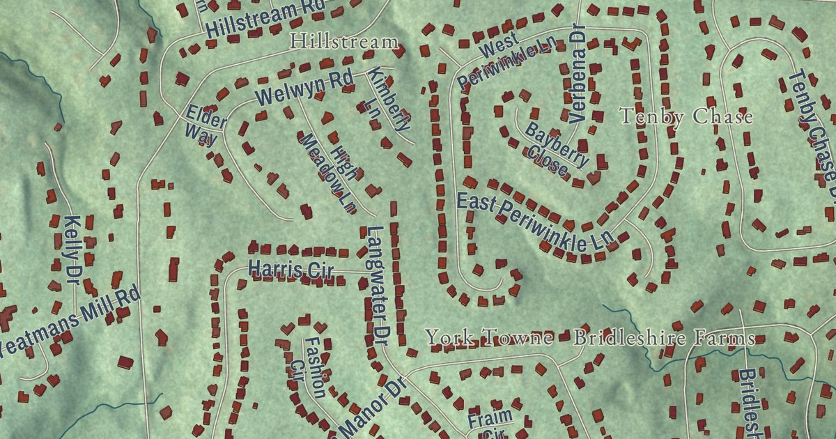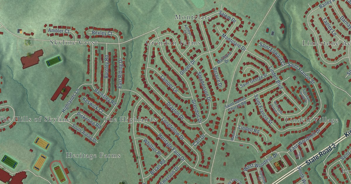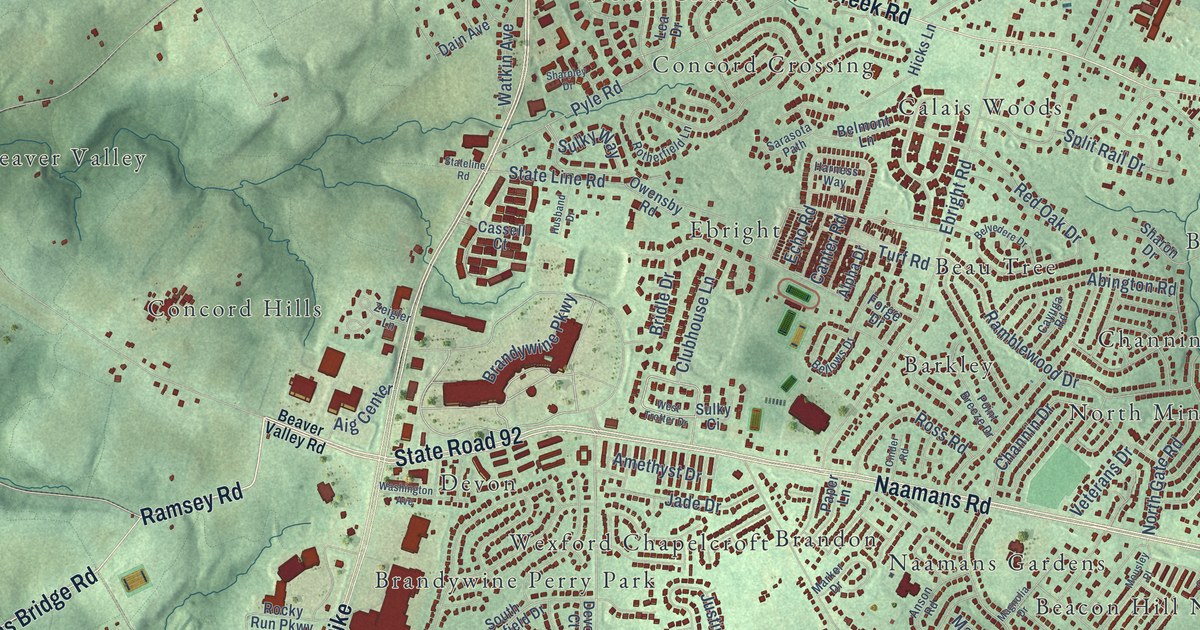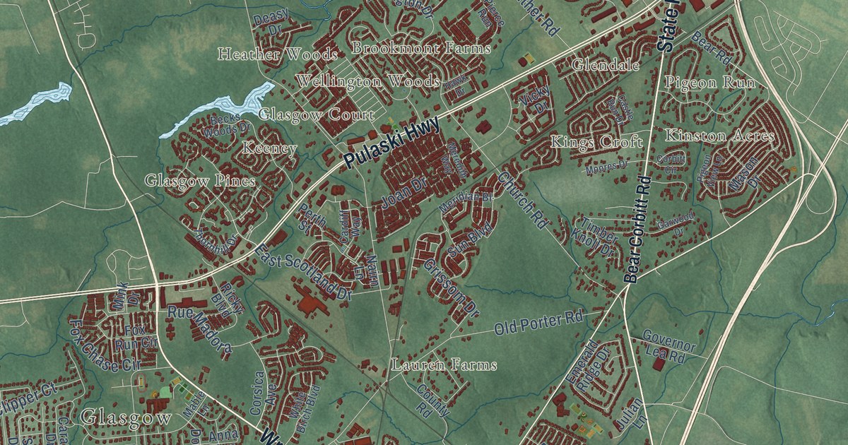
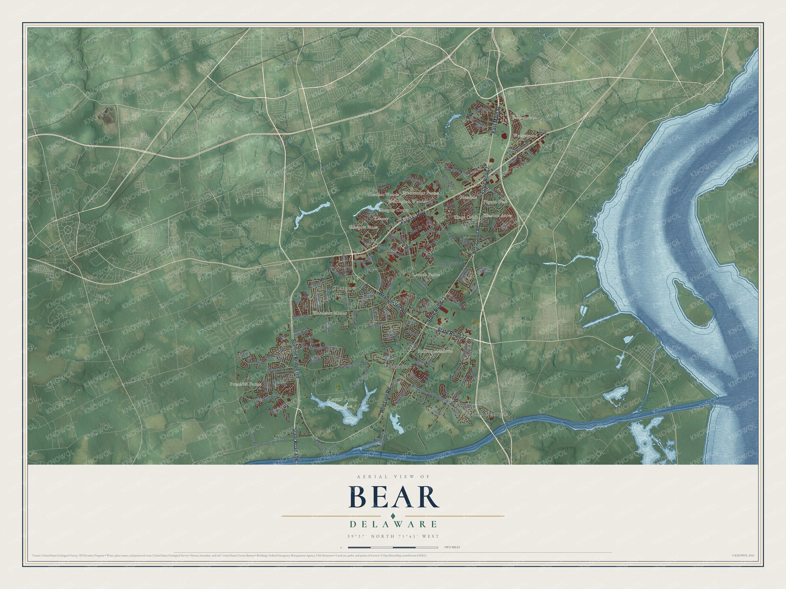
This beautifully detailed map of Bear, Delaware was created in 2026 using aerial imagery combined with modern topographical, census, street and landmark data. It’s a one-of-a-kind view of Bear that combines accurate data with a vintage aesthetic. The map shows every building in its true location, many of the roads carry their names, and the shaded topographic relief shows the shape of the land.
Explore an aerial view of Bear, Delaware
On the map you’ll find Becks Landing, Brookmont Farms, Garwood Estates, Glasgow Pines, Glendale, Heather Woods, Keeney, Kings Croft, Kinston Acres, Moores Acres, and Pigeon Run, along with Glasgow Court, and more. If you look closely you can even find your house accurately drawn in its correct location. Zoom in on the preview to look for yours.
Did you know this about Bear, Delaware?
From J. Thomas Scharf's History of Delaware: "Bear Station, on the Frenchtown Railroad, nearly twelve miles from New Castle, is in a rich section of country and has proven a great accommodation for the people of that part of the county."
Take a closer look at the Bear map
Street and place names on the Bear, Delaware map
These names are printed on the map of Bear, Delaware.
Places: Saint Georges, Kirkwood, Glasgow, Lums Pond State Park, Jamestowne, Lauren Farms, Pencader Farms, Heather Woods, Glasgow Pines, Pigeon Run, Woodside Manor, Rolling Meadows, Glendale, Brookmont Farms, Keeney, Kinston Acres, Kings Croft, Glasgow Court, Wedgewood and Wellington Woods.
Streets and roads: State Road 71, State Road 896, State Road 7, State Road 72, Wrangle Hill Road, East Main Street, Red Lion Road, Summit Bridge Road, Pulaski Highway, Brennan Boulevard, Porter Road, Kirkwood Saint Georges Road.
More street names, A to Z
Airdrie Drive, Anna Avenue, Arrow Way, Ascot Court, Ballina Boulevard, Bear Corbitt Road, Bear Road, Becks Woods Drive, Belgian Drive, Buck Jersey Road, Buckley Boulevard, Calvarese Drive, Caravel Drive, Cardiff Way, Carvel Lane, Castle Run Drive, Chesapeake City Road, Church Road, Clear Creek Drive, Clifton Drive, Clipper Court, Cocoa Cay Lane, Connell Drive, Corbitt Circle, Cornwell Drive, Corsica Avenue, Country Side Lane, County Road, Courtland Circle, Crimson King Drive, Cypress Way, Deasy Drive, Delilah Drive, Del Laws Road, Denny Road, Dorothy Drive, Dover Court, Duke Drive, Dunleary Drive, East Moyer Drive, East Scotland Drive, Eaton Place, Eden Circle, Elizabeth Lane, Ellen Drive, Emerald Ridge Drive, Fox Chase Circle, Fox Run Circle, Frazer Road, Garwood Drive, Glenshane Pass, Governor Lea Road, Grissom Drive, Hawk Drive, Hazel Drive, Healy Court, Hickory Drive, Honora Drive, Howell School Road, Jayson Drive, Jeffrey Pine Lane, Jenny Drive, Joan Drive, Joy Court, Julian Lane, Karens Way, Laramie Drive, Lark Avenue, Mable Lane, Mansion Farm Drive, Mansion House Road, Mason Drive, Matbe Drive, Mather Drive, Matthew Drive, McCoy Road, Meadow Glen Drive, Megan Drive, Meredith Way, Meridian Bl, Mink Drive, Moores Drive, Nairn Lane, Niobrara Lane, North Dragon Drive, Old Porter Road, Old Summit Road, Olmsted Drive, Parkman Drive, Perth Street, Pierce Run, Pigeon View Lane, Portside Court, Providence Drive, Rice Drive, Ricky Boulevard, Rivers End Drive, Road 404, Robin Drive, Rose Hill Drive, Rue Madora, Savannah Drive West, School Bell Road, Shai Circle, Silver Birch Lane, Starboard Drive, Suffolk Boulevard, Summit Pointe Circle, Sun Boulevard, Thornhill Drive, Timber Knoll Drive, Vicky Drive, Virtue Boulevard, Walther Road, Waterton Drive, Wellington Drive, White Birch Boulevard, Willow Oak Boulevard, Woods Road.
See the Bear, Delaware map on a wall
The Bear map as an 18 x 24 inch print in a black frame.

This beautifully detailed map of Bear makes an attractive addition to your office, library, or den, and it can even be used to teach children the geography and history of the area. It also makes a great gift for anyone who grew up in Bear or moved away. When you’re done exploring, click here to get your copy of the Bear map.