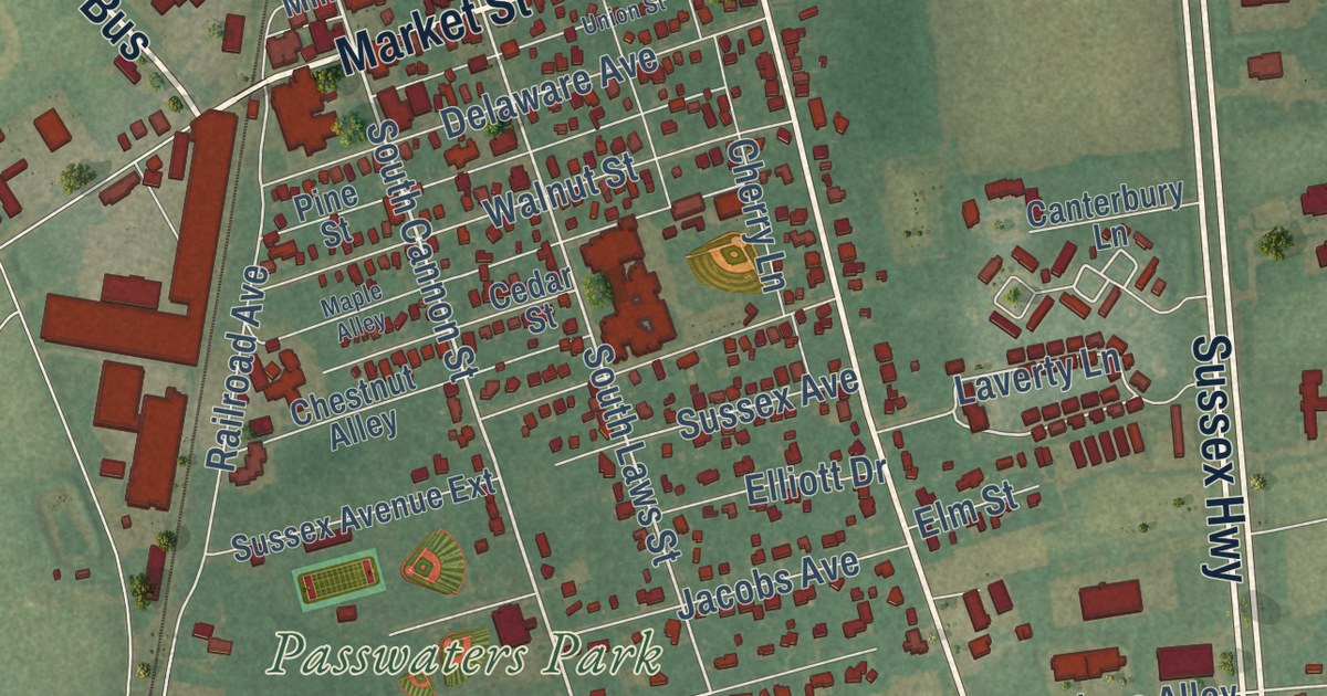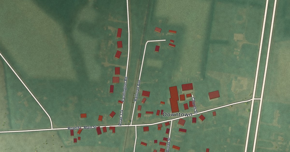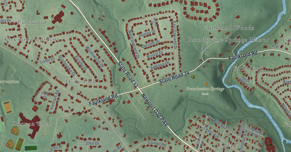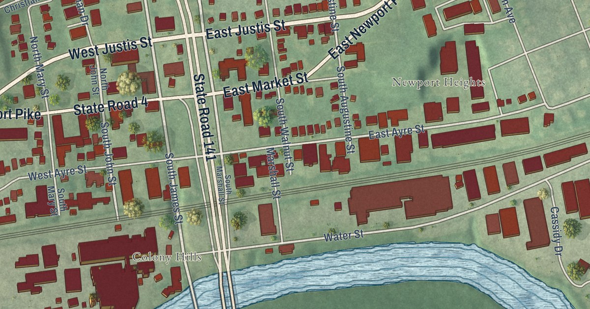
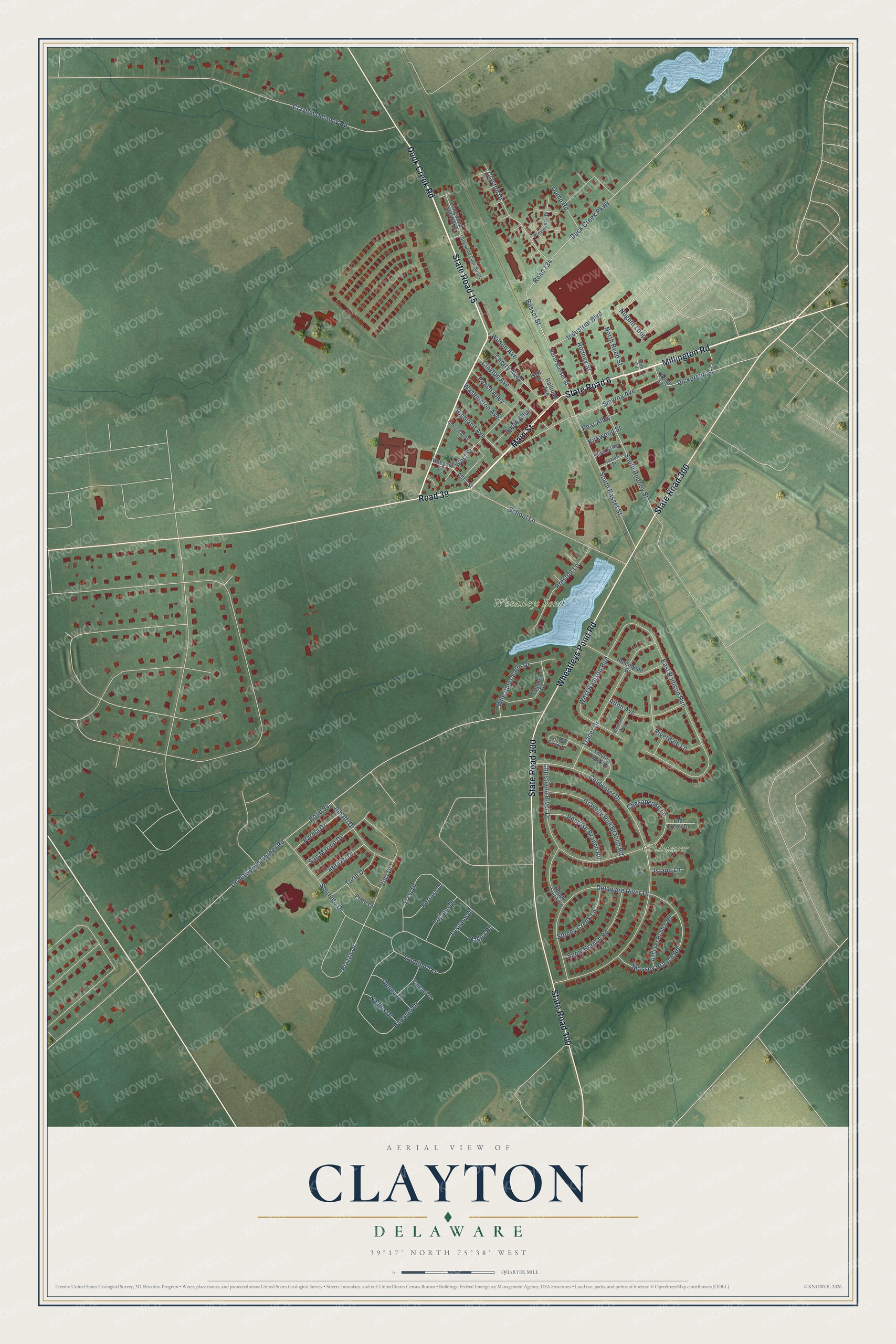
This beautifully detailed map of Clayton, Delaware was created in 2026 using aerial imagery combined with modern topographical, census, street and landmark data. It’s a one-of-a-kind view of Clayton that combines accurate data with a vintage aesthetic. The map shows every building in its true location, many of the roads carry their names, and the shaded topographic relief shows the shape of the land.
Explore an aerial view of Clayton, Delaware
On the map you’ll find Downtown, Coldwater, Wheatleys Pond, and Road 39, along with Main Street, Millington Road, Duck Creek Road, State Road 15, State Road 300, Wheatleys Pond Road, State Road 6, Basset Street, and more. If you look closely you can even find your house accurately drawn in its correct location. Zoom in on the preview to look for yours.
Did you know this piece of Clayton, Delaware history?
From the Delaware Public Archives: "In 1922, the new Smyrna Colored School opened its doors for African-Americans and other persons of color residing in Central Delaware."
Take a closer look at the Clayton map
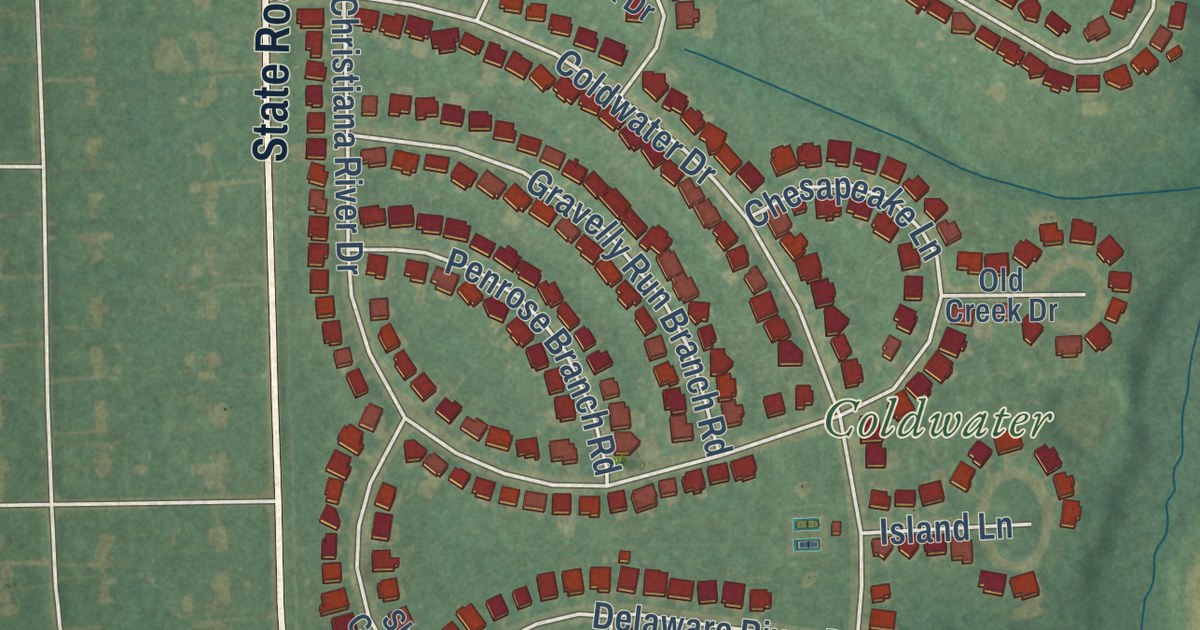
Street and place names on the Clayton, Delaware map
These names are printed on the map of Clayton, Delaware.
Places: Coldwater and Wheatleys Pond.
Streets and roads: Main Street, Millington Road, Road 39, Duck Creek Road, State Road 15, State Road 300, Wheatleys Pond Road, State Road 6, Basset Street, Industrial Boulevard, South Rodney Street, Coldwater Drive.
More street names, A to Z
Abruzzi Drive, Alley Street, Alton Avenue, Amalfi Drive, Andover Branch Road, Apple Alley, Cherry Alley, Chesapeake Lane, Christiana River Drive, Church Alley, Clayton Avenue, Clayton Delaney Road, Clayton Drive, Delaware River Drive, Dickerson Street, Duck Creek Parkway, Dump Road, East Radison Run, East Street, Ferrara Drive, Genoa Drive, Gravelly Run Branch Road, Haslett Street, Hawk Creek Lane, Highland Avenue, Hudson Street, Huntington Drive, Island Lane, Kirkwood Street, Longwood Lane North, Longwood Lane South, Lucano Drive, Massey Branch Road, Naples Drive, North Basset Street, North Reed Street, Nugent Loop, Old Creek Drive, Padua Road, Palermo Drive, Parma Drive, Peach Alley, Pear Alley, Penrose Branch Road, Piazza Drive, Plum Alley, Pompei Drive, Prato Lane, Preston Lane, Providence Drive, Railroad Avenue, Riverdale Lane, Road 94, Road 134, Road 137, Rodney Street, Roth Circle, Sammon Drive, San Marino Drive, School Lane, Shady Creek Lane, Smyrna Avenue, Smyrna Creek Drive, Snow Branch Road, Sorrento Drive, South Basset Street, Stoney Creek Lane, Tracer Drive, Trentino Terrace, Trevi Drive, Turin Drive, Tuscany Drive, Underwoods Corner Road, Villa Drive, Washington Avenue, West Radison Run, West Street, Wheatleys Farm Drive, Wilson Avenue, Windham Way.
See the Clayton, Delaware map on a wall
The Clayton map as an 18 x 24 inch print in a black frame.

This beautifully detailed map of Clayton makes an attractive addition to your office, library, or den, and it can even be used to teach children the geography and history of the area. It also makes a great gift for anyone with Clayton roots. When you’re done exploring, click here to get your copy of the Clayton map.